
ers-wxman1
-
Posts
2,525 -
Joined
-
Last visited
Content Type
Profiles
Blogs
Forums
American Weather
Media Demo
Store
Gallery
Everything posted by ers-wxman1
-
Sometimes I just have a hunch. Can’t explain it.
-
It’s not negativity it’s an analysis. I know I haven’t posted in here much in the past year, but there used to be some good analysis and debates, now it just seems like a wish cast for snow and trying to hug all the models that give the most snow vs not relying so much on the guidance and more toward the actual synoptic features in play. What happened to all the key posters in here?
-
Same features at play, low track near the Bay, retreating High with marginal cold air eroding with strong e-se flow aloft off a 50F Atlantic into temps in the mid 30s? Not a screamer for a winter storm in my opinion. No way we see 10:1 ratios in the immediate suburbs. Shave euro numbers in half and that would be closer to reality.
-
Same setup, not much to feel better about.
-
Do you have research and results in hand to back this up scientifically?
-
There was no ill will intended at all.
-
I leave emotion out of the forecast. I’m helping emergency managers make decisions so must remove emotion and put analysis and facts on the table.no emotion in my post, just facts.
-
Its reality.
-
Could see 3-6/4-8 for Leesburg but no way are we seeing 12-18 digital fantasy. Take it, D.C. gets C-1 then heavy rain with temps in the 40s.
-
Wet snow with temps in the mid 30s, hardly much to get excited about if you are not in those favored areas.
-
Not much left to go on with this one. Euro will come in line with the other guidance. 500 pattern is another clue...a few days ago it showed the H5 low closing off and deepening coming across, now it’s just a progressive vigorous wave that gets going too late, no phasing where we need it then sweeps OTS. Cold high pushes out faster and we are left with screaming E-SE flow aloft which even in a strong CAA setup would make things tough. Marginal setup such as this nails the coffin shut. I-95, cities all rain, few flakes to start. You will have to go well west and north for anything substantial...I-81, 15, 68, north of 70 to the M/D line. Perhaps advisory level to IAD, but mix to rain even there.
-
If you are in Winchester you’ll have no worries regardless.
-
A lot of wishcasting going on in here. If the NAM showed a mauling for the area you would all accept it, but because it is not, it’s out of its wheel house and should be tossed. No, it should not be tossed! It is giving you hints as to the evolution of the pattern. For one, the airmass regardless of the High setup is marginal at best! It is a CAD but not impressive and not Insitu. The low track is not ideal. This has been screaming fast changeover for the cities for days and even the immediate suburbs will mix or changeover. This is an I-81 to 68, 15 from northern Loudoun to the PA border, north of I-70 heavy snow event. Rest of us from west to east mix and even go to rain closer in toward Fairfax. Writing has been on the wall for three days.
-
Start a new thread. We are 74 pages in on this one.
-
Guidance finally coming around to reality for this event. 1040 high in the right place with insitu damming will yield a more entrenched airmass. Models, particularly the globals are almost always underdone and or too aggressive on eroding this feature out.
-
CAD is almost always underdone in the guidance. As strong of a high that is being sampled here, would expect a strong footprint, tougher to erode.
-
Certainly not a pattern that would have signaled big snow for me.
-
Pics.

-
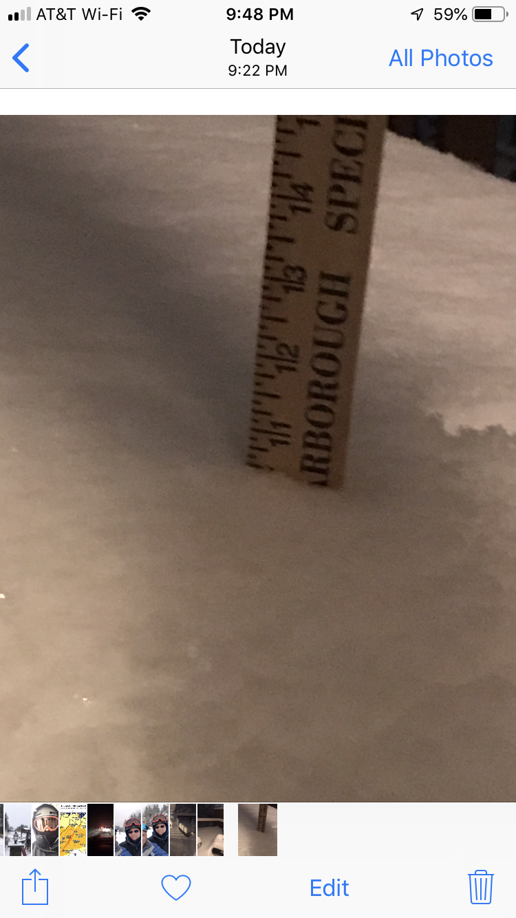
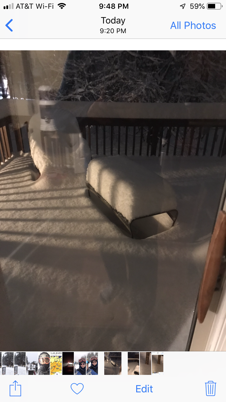
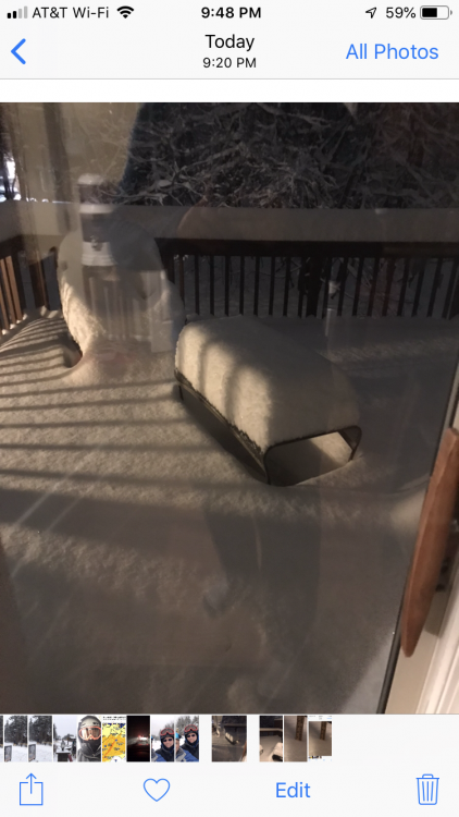
The little engine that could. Just came home to 10.5” in Ashburn Village. So much for a dusting to 2”. Maybe I’ll retire on that note ;-).
-
Solid event.