ariof
-
Posts
664 -
Joined
-
Last visited
Content Type
Profiles
Blogs
Forums
American Weather
Media Demo
Store
Gallery
Everything posted by ariof
-
5˚ at KBOS is the coldest in three years. Last year only hit 9˚. Only six other years have failed to reach 8˚. From xmACIS: 1 1084 2026-01-23 2 752 2003-01-17 3 728 2021-01-28 4 713 1954-01-12 5 660 1960-12-11 - 660 1932-11-26 7 573 1938-01-17 Might bottom out at 4 or even 3 today, and next week could get colder. (With the snow and calm winds, I wouldn't be surprised to see the rad pits at KOWD and KBED well below -10˚.
-
That storm hits on an astronomically high tide (full moon, 11.3' at Boston Harbor) this would not be good.
-
Bills-Pats with barely enough vis to see the field would have made the snow game in 2002 look like a flurry. Oh well, at least it will be cold in DEN.
-
48h before the start of the event.
-
Bigger as in a larger geographic spread? Doesn't really make a difference since Jan 22 hit Boston hard. Given the cold, it will be a good stress test for the T.
-
If it were 2015 then both the Thursday storm and the one Feb 1ish would verify.
-
That storm on the GFS op has a ridiculous band of SN from MSY to ATL to CLT and then on up the coast. 12" of snow in MSY (the 06Z also had this, a year after they had their record snowfall; maybe we should all move to Bourbon Street), 2-3 feet on ATL (record is 8"). We manage 1-2' up here. Would be wild.
-
I loved to hear the rain pelting the side of my house at 38° on an ENE gale because there was no PV, at least sometimes NNE got snow out of it. I'll take this instead.
-
Sure looks like LES. Probably belongs in general Jan thread.
-
Huh? BOS had 2' in Jan 2022. Maybe didn't hit west of FIT-ORH-BDL but BOS certainly got it. https://www.jdjweatherconsulting.com/jan-28-29-2022 2018 had two storms with >12" of snow, Jan and Mar. Before that, yes, you have to go back to 2015.
-
Northern border of Mass. Although it is much less salient west of the Connecticut.
-
Reggie at 78h looks like a dry slot south of the New England Mason Dixon Line.
-
Reggie at 72h in EMA looks … not too bad.
-
It's mehmbogenesis, baby!
-
Not driving at night on I-89 you don't
-
Thanks!
-
Wasn't the December 2020 storm a weak low setup that put that insane fronto band over CNE (and then all evaporated with one of the Grinchiest Grinches a few days later)? That setup was different, of course, without the huge storm impacting the SE, and came more up the coast, but might this have some kind of meso front that dumps 30" of fluff somewhere?
-
Also of interest: the impressive cold snap modeled. Record for BOS for consecutive days AOB 32: 16 ending 2/3/1961, 2/2/1918 15 ending 2/20/2015, 1/15/1970 14 ending 12/30/1989, 2/5/1905, 2/10/1901 13 ending 1/7/2018, 1/28/2005, 12/23/1963, 1/23/1893, 2/5/1881 Verbatim the 06Z and 12Z GFS keeps BOS below freezing until 2/6, which is 14 days if tomorrow doesn't crack 32°. The 00Z Euro only gets warmer because it tracks a bomb a bit inland. With a bunch of SN this is freeze the river solid weather, and probably gets to the point of disrupting ferries and shipping in the harbor. And the core of the PV settles over BNA, GFS has it going well below zero there later this week.
-
I could watch this all day.

-
"It's bombogenesis, baby!"
-
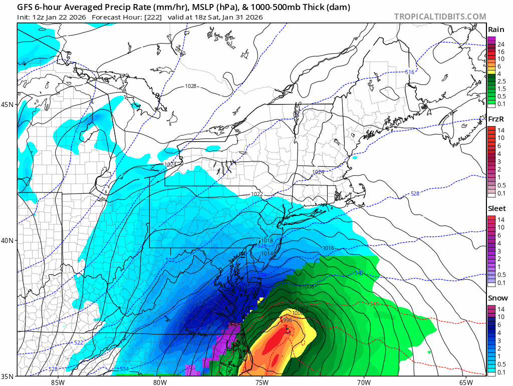
That is an absolute bomb. Storm center goes from 1003 off of the Outer Banks to 972 over ACK in 24h. Pressure at ACK falls 53mb in 24h. Cold airmass in place, coastal front setting up, just textbook. Lock it in / inject it into my veins.
-
Less awesome than pretty much every other model.
-
I have to wonder what Feb 2015 and Dec 1989 would have looked like if this product existed. Both of those were months of -10 anomalies.
-
Given that the largest snowfalls in BOS since 2022 have been 5.5" (2/9/25) 5.4" (2/16/25) 5.3" (1/19/26) 5.2" (12/20/24) I'd expect an underperformance with a storm total between 5.1" and 5.6" Lots of nickels, never a dime
-
Put it in a Feb thread