

canderson
-
Posts
23,908 -
Joined
-
Last visited
Content Type
Profiles
Blogs
Forums
American Weather
Media Demo
Store
Gallery
Posts posted by canderson
-
-
60 mph winds with 1/4” ice in trees is catastrophic.
-
5 minutes ago, Voyager said:
I know, snow maps and all, but the NAM gave me a tenth of an inch of snow and six tenths inch of freezing rain.
Just think of the sleet as snow insurance.
-
This NAM gulf fetch is crazzzzzzy.
-
Just now, Blizzard of 93 said:
I thought about him earlier today - hope he’s ok.
-
 2
2
-
-
2 minutes ago, Festus said:
If the winds verify, that's going to be as big or bigger story here. I haven't gusted north of 60 in a long time.
I think winds will be a much bigger story than snow. Mass power outages with near zero temps is a serious major issue.
-
3 minutes ago, Itstrainingtime said:
Thanks!
Fortunately, I don't live in Lancaster and my house is safely within the purple.
")
You’re in the county! The river will be the dividing line of snow. We all get 60-70 mph winds.
Its a cat 1 hurricane essentially .
-
6 minutes ago, Itstrainingtime said:
Just got home from work and saw this - between 8-9" at Harrisburg and Reading with less than 1.5" at Lancaster?
Could happen.
Probably won't happen.
If it does I’ll be kind and let you come shovel my snow. That way you don’t feel ripped off.
-
1 minute ago, Bubbler86 said:
I think that 60 is blowing through downtown Harrisburg.
I expect to lose some siding / shingles from this system. Sandy took off a bunch and this probably is windier.
-
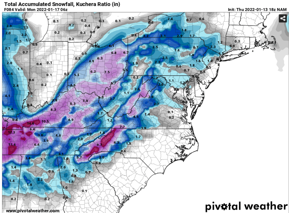
I don’t recall a system ever behaving the way it is being depicted by the NAM - at least not since I moved to Pennsylvania 15 or so years ago. I can’t wrap my head around a low near savannah hooking so far NW Erie gets plain rain.
Edit: NAM/ICON, not GFS
-
-
2 minutes ago, TimB84 said:
That’s an ugly run for everyone but Ohio.
Seriously, parts of TN get like a foot of snow I bet.
It's almost a nonevent for snow up here but looks really icey. Wow.
-
1 minute ago, Bubbler86 said:
Nam is running North of its previous 18Z position as of hour 69. It's the state of Alabama difference.
That likely is a bad sign I'd think if you like snow in the LSV.
Road trip to Tennessee?
-
The northern eyewall appears to sit over Harrisburg. Lovely.
-
1 minute ago, Atomixwx said:
I'm looking for houses outside of Clearfield, so that's a shitty sales pitch lol
Bunk up with @2001kx
-
Can snowblowers be retrofitted to be sump pumps? We all might need that done.
-
 2
2
-
-
The Germans have been incredibly consistent with this system.
-
3 minutes ago, paweather5 said:

That’s legit hilarious.
-
The GFS ensemble is posted over in MA. It’s absolute chaos.
-
I almost want this to get to savannah then the low hook over Pittsburgh. That’d be an epic failure for millions lol
My guess is in two days we have a lot different look.
-
That run isn’t even an apps runner though is it? Could be up an Ohio blizzard and a dry LSV with they low jumping so far NW? Just a weird trajectory.
-
2 minutes ago, Bubbler86 said:
The further north and west part is when it retrograde west along the M/D line post 99. Ccb up into the GL!
Seriously congrats Ohio - some on this forum get extremely little snow it appears from this run.
edit: actually a bit better but nothing major. It just sits over Harrisburg and spins. Sting winds without the really good stuff - joy! lol
-
2 minutes ago, Bubbler86 said:
It's not the jma or nam with low position but defintely a step south and going to snow a lot. Still has the 850 punching warm air up into western PA.
Huh it is headed wayyy northwest wtf it’s like it goes south of Atlanta and says naw I wanna go see Toledo
-
Methinks this GFS is gonna be pretty, pretty, pretty good
-
Icon = vollständige zerstörung
Central PA - Winter 2021/2022
in Upstate New York/Pennsylvania
Posted
Beating the dead horse hit winds will be the bigger issue here than snow. 6-10l isn’t a massive deal - sustained winds at 40 for 2 days and countless gusts maybe to 70 over that span is a nightmare.