

canderson
-
Posts
25,280 -
Joined
-
Last visited
Content Type
Profiles
Blogs
Forums
American Weather
Media Demo
Store
Gallery
Everything posted by canderson
-
76 here now.
-
Sweet. I’ll buy everyone in here their own Doppler, when I win.
-
Oh it’s over $1b? I’ll buy a ticket x that’s my standard lol. When is the drawing?
-
Lol 3, 5 - they’re similar in look!
-
66 at 1250. Might get to 75.
-
CTP posted their radar will be down 7 days - just as well since we have late May weather. STATE COLLEGE RADAR OUTAGE The NWS State College radar (KCCX) will be out of service for approximately 7 days starting Thursday November 10th. During the outage, all neighboring radars will be operating as normal. For more, visit www.weather.gov/ctp/RadarOutage. #PAwx
-
Dallas will be 10 degrees cooler than us Saturday.
-
70 at 1:20. This f'n blows.
-
Wonder what the longest stretch of consecutive 70+ days in November Harrisburg has had? It very well might make it to 8 this month.
-
71 today, down a degree from yesterday.
-
CTP is hiring for a meteorologist. @MAG5035
-
That was weird - models took it all away until late Sunday when I didn’t pay attention anymore
-
72 was my high today
-
No fog on the river, which is a bit surprising.
-
They could’ve totally played that game. Dry in Philly the last 1.5 hours and dryslot is huge there.
-
Rain held off for most the night for the kids, thankfully.
-
Raking in shorts and a tshirt, like I'm back home.
-
60 was my high, now at 58. Gorgeous day for a walk.
-
The rain for Halloween looks dead. In fact no rain chnaces the next 10 days it appears.
-
Haha nah I’m a good speller - trained journalist and all
-
No Jon won’t be your pool boy, quit askin!
-
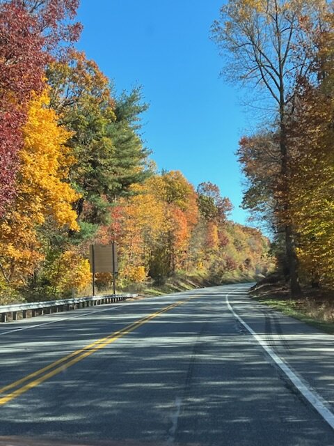
I was dead wrong about fall colors - I thought it’d be a terrible year since we had no rain. Turns out it’s the best we’ve had since moving here in 2006.
-
Drive up 322 toward Ephrata was a kaleidoscope of colors this afternoon.
-
Got chilly quick tonight.
-
Clouds moved out, mostly sunny and 55


