Stormlover74
-
Posts
24,011 -
Joined
-
Last visited
Content Type
Profiles
Blogs
Forums
American Weather
Media Demo
Store
Gallery
Everything posted by Stormlover74
-
Getting a heavy downpour now
-
Yeah hrrr is off by about 3 hours
-
The nams been giving us rain but also had activity last night that never materialized
-
Looks like another Delaware River focus for storms today Tomorrow should be better further east
-
It's beautiful out with a nice refreshing breeze...not
-
Might make it to you but probably die out further east
-
Most of this falls Sat night thru Sunday night
-
Getting another downpour Another .33, 2.41" on the day
-
More activity forming to the north
-
Not too often we get storms that drift due south but they usually pack a punch
-
1.25" from both so far but the way its raining I could hit 2"
-
Storm in Union county looks nasty
-
More widespread coverage than I was expecting
-
Well Upton nailed it..numerous showers amd storms for sure
-
Been getting crushed the past 10 minutes
-
It really just exploded out of nowhere
-
Pouring now See if this cell drifts south over you
-
Yeah I feel like by 8pm there will be nothing west of the city.
-
The show must go on
-
Flood watch issued
-
Models were overdone. If they're right today we see very little
-
Their discussion talks about mostly isolated activity yet their forecast is "numerous showers and thunderstorms" My fear is many towns will hear this forecast and decide to postpone fireworks to tomorrow or Thursday and then be looking up at the moon come 9:00
-
Activity looks very isolated
-
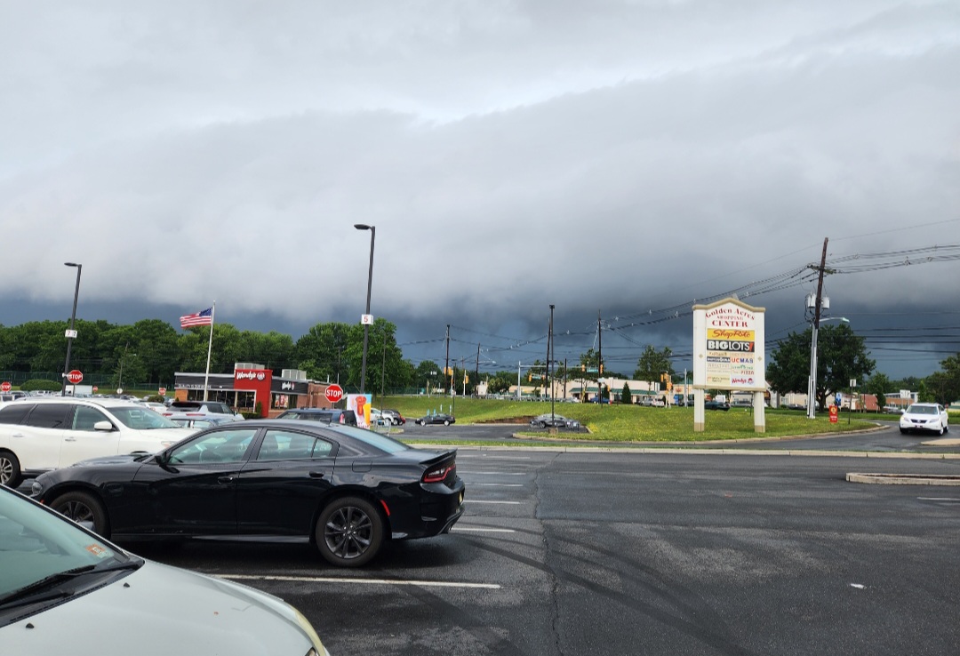
Very ominous forecast for today. Models don't seem to show much in the way of precip though.