
Stormlover74
-
Posts
20,485 -
Joined
-
Last visited
Content Type
Profiles
Blogs
Forums
American Weather
Media Demo
Store
Gallery
Posts posted by Stormlover74
-
-
woohoo
239 PM EST WED JAN 30 2019
Bergen County NJ-Essex County NJ-Hudson County NJ-Passaic County
NJ-Union County NJ-Orange County NY-Rockland County NY-Westchester
County NY-

The National Weather Service in Upton NY has issued a

* Snow Squall Warning for...
Hudson County in northeastern New Jersey...
Passaic County in northeastern New Jersey...
Union County in northeastern New Jersey...
Bergen County in northeastern New Jersey...
Essex County in northeastern New Jersey...
Northern Westchester County in southeastern New York...
Southeastern Orange County in southeastern New York...
Rockland County in southeastern New York...

* Until 345 PM EST.

* At 239 PM EST, a dangerous snow squall was located along a line
extending from West Milford to near Far Hills to Roxborough, moving
east at 45 mph.

HAZARD...Whiteout conditions. Zero visibility in heavy snow and
blowing snow. Wind gusts 35 to 45 mph.
-
 1
1
-
-
My wind gusts are already well over 30 mph and the line is still 20 miles away
-
Warning was expanded. Let's see what upton does (my guess is just a SPS)
The National Weather Service in Mount Holly NJ has issued a

* Snow Squall Warning for...
Morris County in northern New Jersey...
Northeastern Hunterdon County in northwestern New Jersey...
Passaic County in northeastern New Jersey...
Sussex County in northwestern New Jersey...
Warren County in northwestern New Jersey...
Northern Somerset County in northern New Jersey...
Northeastern Middlesex County in northern New Jersey...
Southeastern Monroe County in northeastern Pennsylvania...
Northeastern Northampton County in eastern Pennsylvania...
-
Just now, tomcatct said:
Not sure i ever remember hearing a snow squall warning before...at least around these parts.
It's a fairly new warning, I think only past 2 years
-
The National Weather Service in Mount Holly NJ has issued a

* Snow Squall Warning for...
Northern New Castle County in northern Delaware...
Northwestern Camden County in southern New Jersey...
Southwestern Warren County in northwestern New Jersey...
Northwestern Mercer County in central New Jersey...
Southwestern Somerset County in northern New Jersey...
Northwestern Salem County in southern New Jersey...
Hunterdon County in northwestern New Jersey...
Northwestern Gloucester County in southern New Jersey...
Northwestern Burlington County in southern New Jersey...
Montgomery County in southeastern Pennsylvania...
Southeastern Berks County in eastern Pennsylvania...
Eastern Lehigh County in eastern Pennsylvania...
Bucks County in southeastern Pennsylvania...
Chester County in southeastern Pennsylvania...
Philadelphia County in southeastern Pennsylvania...
Delaware County in southeastern Pennsylvania...
Southwestern Northampton County in eastern Pennsylvania...

* Until 300 PM EST.

* At 205 PM EST, a dangerous snow squall was located along a line
extending from near Erwinna to Greenville, moving east at 20 mph.

HAZARD...Whiteout conditions. Zero visibility in snow and blowing
snow. Wind gusts greater than 30 mph.

SOURCE...Radar indicated.
-
Doesn't look like one solid line

-
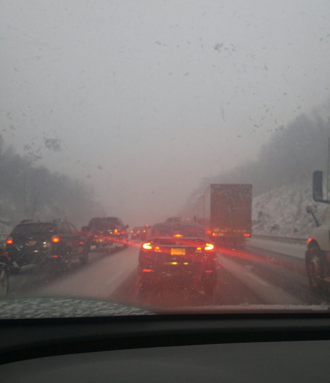
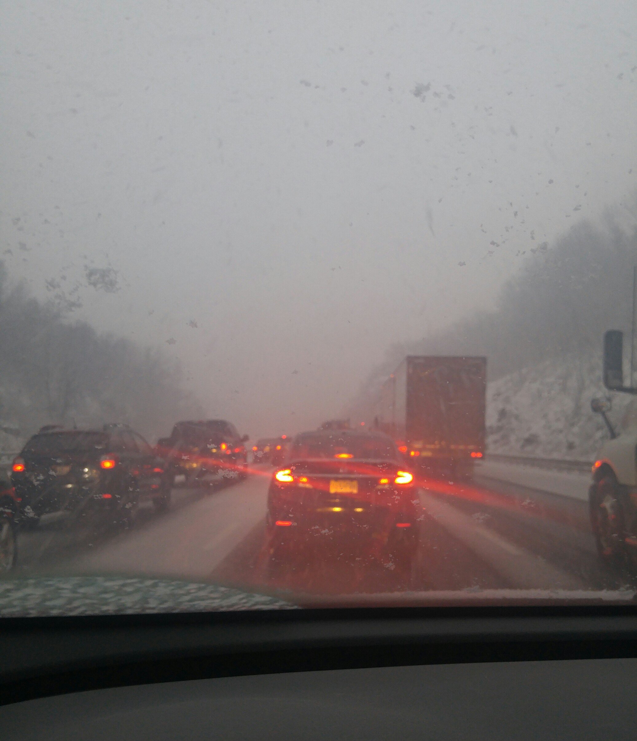
Looks like a multi-vehicle pileup on rt 222 in PA
-
Just now, snowman19 said:
Are there any other years where NYC went from mid November into early February with an inch or under of snow? I honestly can’t find one. Today definitely isn’t promising on the HRRR, NAM or RGEM
97-98 had .5" until March
-
Just now, justinj said:
hoping this line holds up by the time it gets to me (south central suffolk, Holbrook)
No marine layer to worry about

-
1 minute ago, NEG NAO said:
What is the timing on this squall ?- during the rush hours it would be a disaster...……..
Should clear the city by 4
-
1 minute ago, snowheavyattimes said:
Weather Channel quite bullish with the squall potential. Calling for 1-3 inches in NYC.
In 20 minutes? Doubtful. 1 maybe
-
2 minutes ago, NEG NAO said:
Yeah but all the views are mostly facing east
-
6 minutes ago, JerseyWx said:
Most interested I've been in tracking a squall line for awhile.
I'm trying to think of a good spot with unobstructed western views to watch it arrive
-
Not much snow fell but frozen slush out there now
-
1 minute ago, Snow88 said:
And the nam
Gfs was too cold ironically
-
1
-
-
Something interesting I noticed. If NYC doesn't drop below 30 by midnight there will no days with highs in the 20s for the month but there will be 2 days with highs in the teens. Seems unusual
-
2
-
-
10 minutes ago, jfklganyc said:
Looks like rain/snow line has moved in wrong direction as precipitation has picked up?
Yeah as I was heading back east it went from heavy snow to next to nothing rather quickly
-
Exit 7 on 78
-
 1
1
-
 1
1
-
-
2 minutes ago, Gravity Wave said:
Yeah I've been checking out the Lehigh Valley webcams. Pretty impressive rates.
https://livestream.com/accounts/14384745/events/4251311/player?width=auto&#=true&mute=true
Yeah 78s down to a crawl
-
Visibility about one eighth of a mile about 10 miles east of Phillipsburg. 78 starting to get covered
-
34 and moderate snow. On Route 78 West near Round Valley
-
3 minutes ago, SnoSki14 said:
Even if that's true it'll still only last maybe 10 minutes if not less. Not enough to drop more than a light dusting.
most thunderstorms only last about that long. Its more about the intensity and rapid drop in visibility than accumulation
-
Just now, SnoSki14 said:
It'll probably be like a SVR thunderstorm where a few areas get a slammed for 10-15 minutes and most miss out.
no, looks more like a solid squall line
-
Steady light snow, starting to coat the ground
January 30, 2019 Snow Squall Observations Thread
in New York City Metro
Posted
wow. though I imagine much of what's on the ground is from yesterday