Stormlover74
-
Posts
24,473 -
Joined
-
Last visited
Content Type
Profiles
Blogs
Forums
American Weather
Media Demo
Store
Gallery
Everything posted by Stormlover74
-
Mesoscale Discussion 1013 NWS Storm Prediction Center Norman OK 1053 AM CDT Mon May 27 2024 Areas affected...northern VA into parts of MD...DE...central/western PA...NJ...and NY Concerning...Severe potential...Watch likely Probability of Watch Issuance...80 percent SUMMARY...One or more watches will likely be needed in the next 1-2 hours. Damaging gusts, large hail and a couple of tornadoes are possible with bands of thunderstorms through early evening. DISCUSSION...Modest destabilization is occurring from south to north ahead of an eastward-advancing front at midday. Stronger instability will generally remain across the PA/NJ vicinity southward, where dewpoints are in the upper 60s F, and decrease with northward extent into central NY. Nevertheless, favorable vertical shear supporting organized bands of convection is already in place across the region. A mixed mode of supercells and bows is expected as convection increases in coverage after 18z. While deep-layer flow will largely remain unidirectional, some curvature of low-level hodographs and backed low-level winds is evident in a corridor from eastern VA into eastern PA/western NJ. A couple of tornadoes could occur in this area. Otherwise, damaging gusts and hail will be the primary hazard through this afternoon/early evening. One or more watches will likely be needed in the next couple of hours as stronger destabilization occurs and stronger large-scale ascent overspreads the region.
-
Radar's lighting up to the southwest
- 1,600 replies
-
- 1
-

-
- spring
- cool temps
- (and 3 more)
-
Pretty much area wide but I'm sure a few places will miss out
- 1,600 replies
-
- 1
-
-
- spring
- cool temps
- (and 3 more)
-
Let's see how accurate this is
-
Hrrr has one round beginning after 2, then a 2nd round after 7
-
Tornado emergency in KY
-
Big storms over delaware basically stationary
-
Wow quite a shift
- 1,600 replies
-
- 1
-
-
- spring
- cool temps
- (and 3 more)
-
Severe looks like a long shot tomorrow
-
Now the nam is largely dry especially around the city and east 3knam more active
-
Hrrr tomorrow has some morning storms then a break then scattered stuff in the afternoon with a strong line early evening
- 1,600 replies
-
- 1
-
-
- spring
- cool temps
- (and 3 more)
-
Gfs had a quarter of an inch last night into this morning. It's always overdone
- 1,600 replies
-
- 1
-
-
- spring
- cool temps
- (and 3 more)
-
Models are still inconsistent with timing tomorrow. Nam is morning and afternoon. Euro is mid afternoon and night. Rgem seems to match euro
-
Pouring now with a bit of thunder and lightning
-
A few isolated cells have popped up over somerset
- 1,600 replies
-
- 1
-
-
- spring
- cool temps
- (and 3 more)
-
Looking like some showers will roll through after 9 or 10 pm if they survive
- 1,600 replies
-
- 1
-
-
- spring
- cool temps
- (and 3 more)
-
Euro says screw your memorial day plans
- 1,600 replies
-
- 1
-
-
- spring
- cool temps
- (and 3 more)
-
 Yeah I'm not doing that
 -
Nam holds off the precip until evening which would be nice
-
https://twitter.com/iembot_okx/status/1794090100084863464?t=0u3Mip7waqpFhXkqarwZeA&s=19
- 1,600 replies
-
- 5
-

-
-
- spring
- cool temps
- (and 3 more)
-
Mid 70s unless you're on LBI
- 1,600 replies
-
- 1
-
-
- spring
- cool temps
- (and 3 more)
-
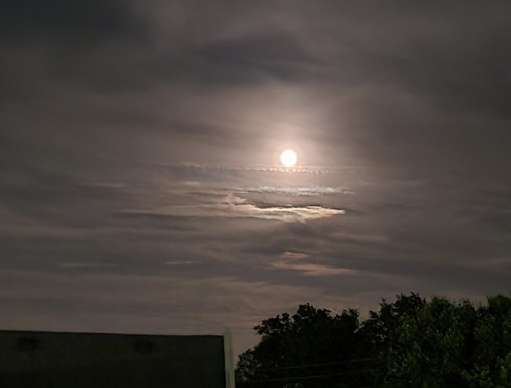
Full flower moon and a fighter jet cloud
- 1,600 replies
-
- 5
-
-
- spring
- cool temps
- (and 3 more)
-
Yeah friends want to have a pool party Monday. Trying to convince them to move it to Sunday
- 1,600 replies
-
- 3
-
-
- spring
- cool temps
- (and 3 more)
-
63 mph gust near jersey city
- 1,600 replies
-
- 2
-
-
- spring
- cool temps
- (and 3 more)
-
Models don't have anything this afternoon
- 1,600 replies
-
- 1
-
-
- spring
- cool temps
- (and 3 more)