ROOSTA
-
Posts
3,160 -
Joined
-
Last visited
About ROOSTA

Recent Profile Visitors
8,572 profile views




.thumb.jpg.aec747d13df1d95d5fed34574f74d4fd.jpg)



-
Scott, Ray, Ginx... have met them all. Truth be told I'm a transplant from MA. Why I moved, don't ask! Deep down shhhh, I live for a good snow. First tropical system after moving lost power for a week...that sealed it for experiencing named storms.
-
Well modelled IMHO. A huge difference between a mid-latitude winter snowstorm and a tropical system of any CAT. Hurricanes are a whole different beast. I would take a 2 footer over 100+ mph. hurricane. Different adrenaline rush too.
-
Lowest pressure is exact. I have never observed these cells (inland CFL) move as fast as they are. To my fellow members in harms way be safe and hunker down y'all!
-
Even as far removed from the hurricane. The FL peninsula is prone to quick spin-ups as the feeder band traverses inland areas.
-
CWOP KFLPENSA690 Summary High Low Average Total Temperature 78.2°F 69.8°F 73.9°F — Dew Point 73.1°F 67.7°F 70.8°F — Humidity 98% 82% 90.1% — Precipitation Rate 0.14in/hr — 0.08in/hr — Precipitation Accumulation — — — 0.39in* Wind Speed 68.5mph 5.6mph 25mph — Wind Gust 79mph 7.4mph 29.1mph — Wind Direction — — ENE — Pressure 29.38in 29.1in — As for timing... ahead of scheduled LF
-
I feel like that guy who does those Dos Equis commercials. ISSY once took on 60kt. shear and became a CAT3. When your wrong, your wrong and admit it. Surprised but not shocked. "Stay thirsty my friends." LOL
-
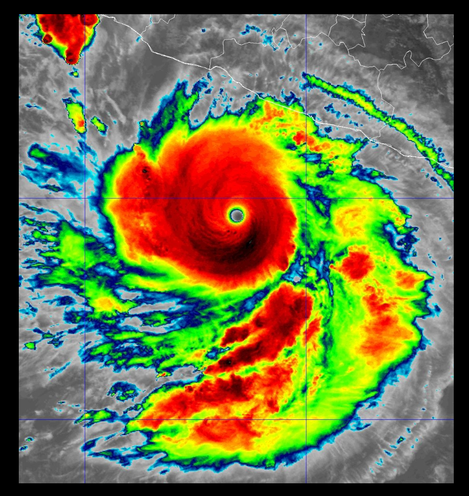
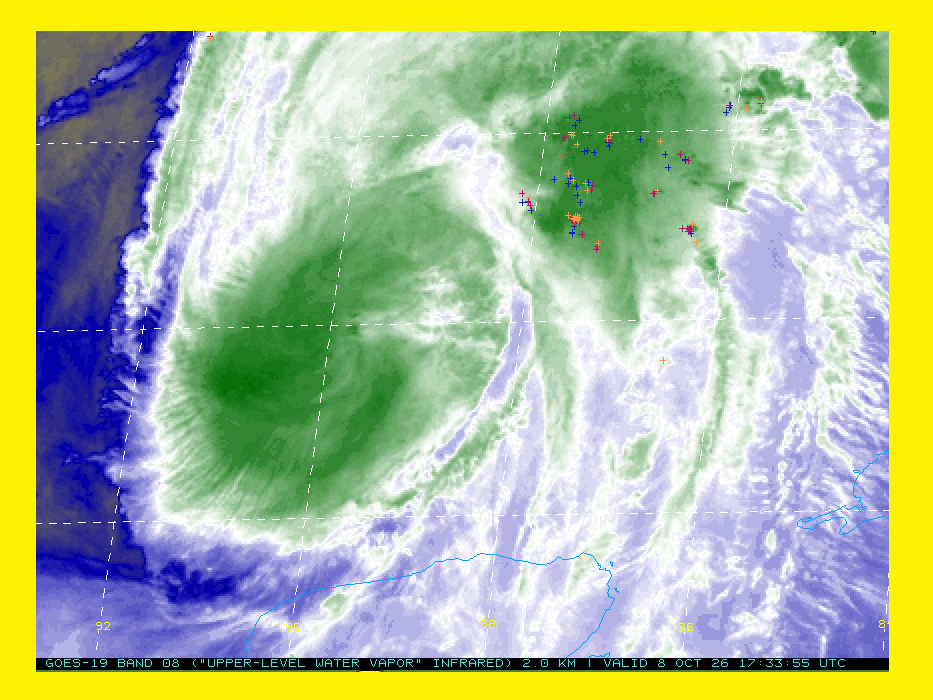
I don't see an "EYE". Just hallucinations with convection sheared well to the NE. I named this sat capture as GONZO
-
SHEAR... FTL. Combined with ML dews are a death knell. Wouldn't be surprised if LF is as TS. Tracking this was way to brief.
-
A prolific tornado set-up which probably will be a high impact event.
-
Without detailing, seemingly a no-brainer. Power outages will be the greatest impact.
-
Waste of a good storm, to bad it's not February.
-
OUCH! I hope that feels better than it looks. Praying that it fixes your ailment. Personally, been there, after a dozen stints, arteries moved around and replaced, then triple bypass. and it gets better... old age sucks. Hoping this nor'easter is a forbearer of an active Fall and Winter Quite anomalous getting dews to drop below 70 before Nov. I'll take it.
-
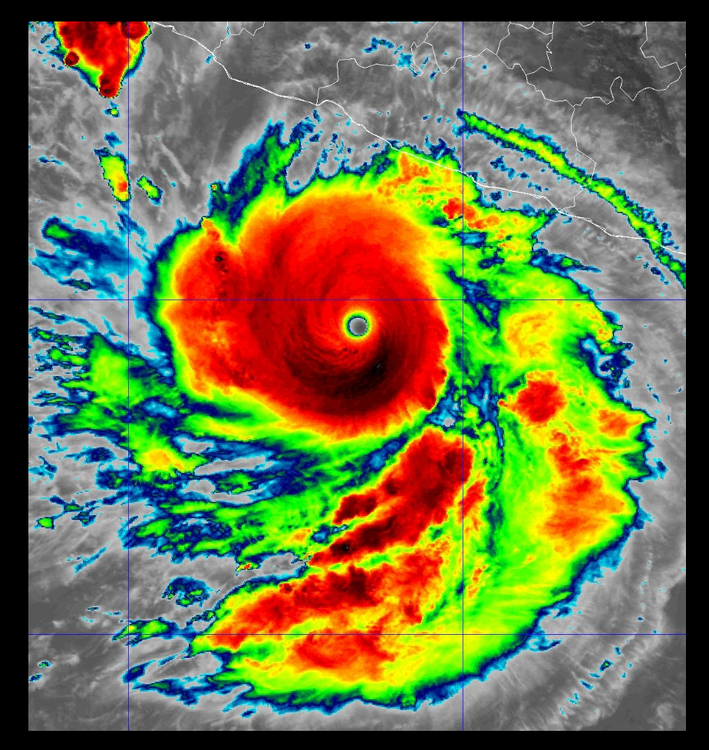
They don't get much stronger.
-
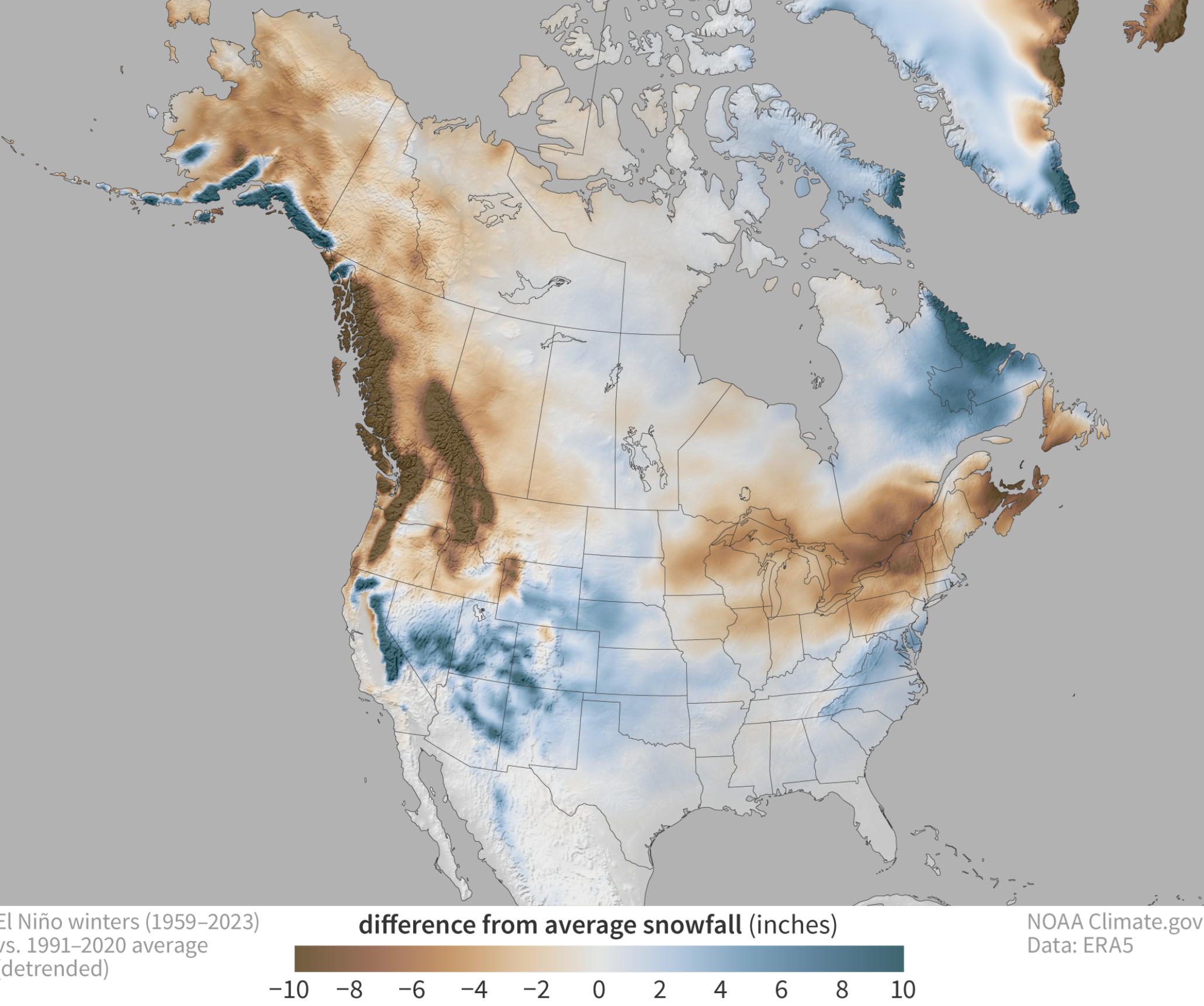
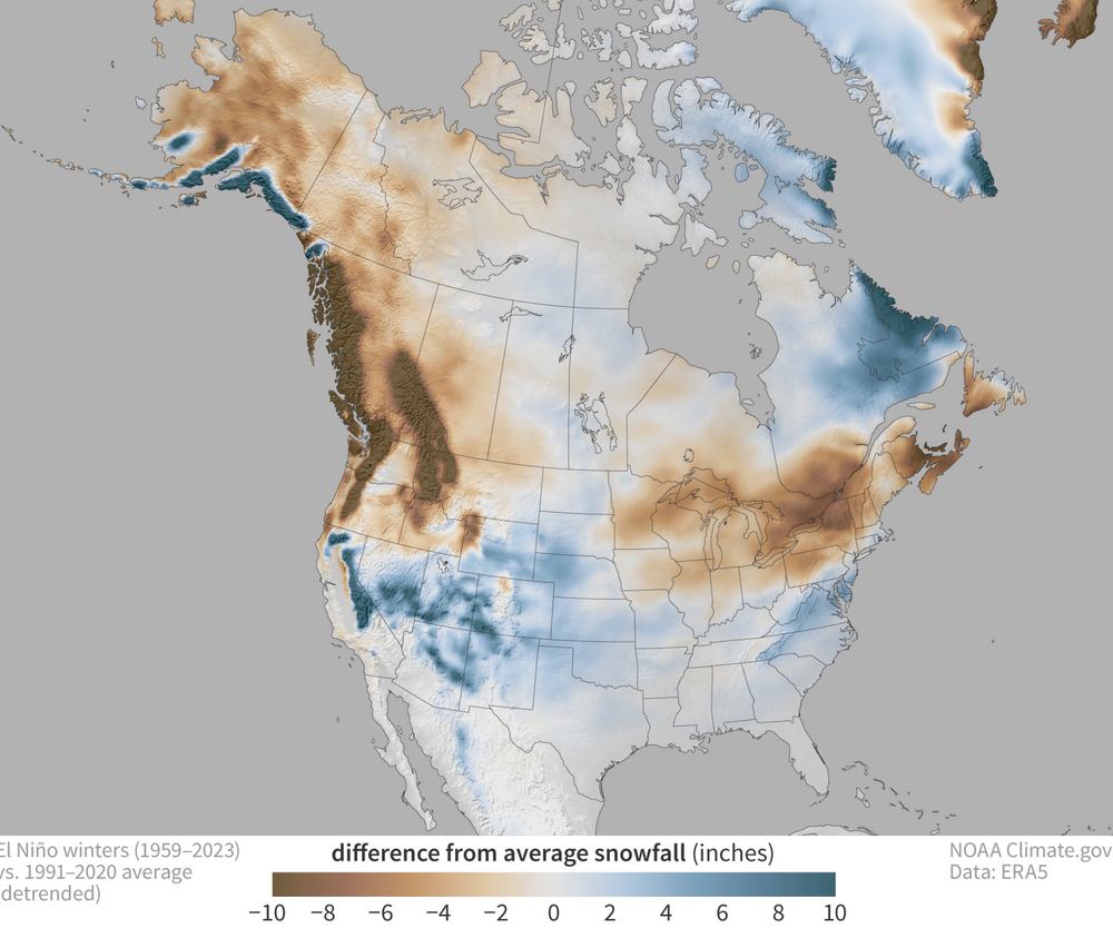
NOAA https://www.msn.com/en-us/weather/meteorology/winter-snow-map-shows-where-america-could-get-hit-hardest-this-winter/ar-AA29qYIG?uxmode=ruby&ctsrc=dgst&ocid=edgntpruby&pc=NMTS&cvid=6a73cc83ebf24e72ac5f9cfed76a9ce4&ei=18
-
 How about "GULF OF TRUMP". Once the BUM is voted out an Executive Order will change back to its rightful name. Gulf of Mexico. Tropical entity is weak sauce. My grid data server was DOGED, MFkers Bring back OPENSOURCE grib data!