jbenedet
-
Posts
7,617 -
Joined
-
Last visited
Content Type
Profiles
Blogs
Forums
American Weather
Media Demo
Store
Gallery
Everything posted by jbenedet
-

Blowvember - and not named for wind potential
jbenedet replied to Go Kart Mozart's topic in New England
Upcoming pattern looks AN and dry. Not bigly AN, as seen in recent weeks but +5ish... The pacific is skunked and the -NAO that develops looks to be significant to the point that the pressure tendency in the northeast US is the Canadian surface highs hooking up with the western Atlantic ridge. UL confluence but cold airmasses no where near our region.
-
Blowvember - and not named for wind potential
jbenedet replied to Go Kart Mozart's topic in New England
Normal temperatures “behind the cold front”. -
Blowvember - and not named for wind potential
jbenedet replied to Go Kart Mozart's topic in New England
6z GFS MOS with high of 61 at PSM. It’s currently 52. 65 is in view. -
Blowvember - and not named for wind potential
jbenedet replied to Go Kart Mozart's topic in New England
Roses still in bloom around Dover. Lawns still green. I def enjoy the warmth as long as we stay out of the brown of stick season. -
Blowvember - and not named for wind potential
jbenedet replied to Go Kart Mozart's topic in New England
PSM with low of 36 but already up to 41 on SW winds. -
Blowvember - and not named for wind potential
jbenedet replied to Go Kart Mozart's topic in New England
Portsmouth NH: yesterday high : 73 This morning’s low: 63 Today’s high: ~80 About normal for…September 6th. -
Blowvember - and not named for wind potential
jbenedet replied to Go Kart Mozart's topic in New England
Clearly see that the obs were with a freeze in the seacoast region but the neighborhood flowers that remain seem unaffected. My rose bush in full sun area is still flowering…Will see if it still looks the same by this time tomorrow. -
Why would we take measurements here—in the sub tropics??? I think what they found is what we should have expected; but it doesn’t explain anything. The theory is the current/circulation is slowing (with time) from north to south, NOT south to north…. A similar study should have been performed much further north/east, closer to the Azores—upstream of the cold pool.
-
Blowvember - and not named for wind potential
jbenedet replied to Go Kart Mozart's topic in New England
The GFS op is going to crush snow weenie souls again this season. -
Blowvember - and not named for wind potential
jbenedet replied to Go Kart Mozart's topic in New England
Overall a very average feel to the air and look to the sky. But with the sun breaking, we will have another AN day incoming. +2. “Behind the front” in the sea coast area. -
69 for the low at PSM.
-
+25 happens with a run of the mill warm front. -25 would take a volcanic eruption
-
Hit 80 at PSM
-
PSM hit 60 yesterday despite being socked in all day in a classic damp and nasty coastal New England day. That’s +5 … Pretty telling on the amount of warming going on locally in the seacoast region…
-
Don’t you manage a landscape/snow removal business? I mean, I get it ….if that’s the case.
-
6z GFS MOS has a high of 49 at PSM…. Man does that have bust written on it….
-
The dews are what tipped me off to the deep arctic origins of this. Those are legit. Airmass from the northwest passage.
-
Arctic airmass and we only -4 for two days; today and tomorrow. Then we +15 and +20… Rinse repeat.
-
Bottomed out at 38. Felt like an idiot this morning after rushing in the plants last night. All would have been fine. I even took the motorcycle into work today….
-
38 for a low. Still didn’t take the plants in. I’ll have to take em in tonight though as we radiate. Only time those progged cold lows verify on MOS is under legit radiational cooling conditions.
-
PSM with 72 for a high yesterday. And that was with overcast moving in by noon.
-
Today is another 70’s in the warmer locations in eastern SNE to seacoast NH.
-
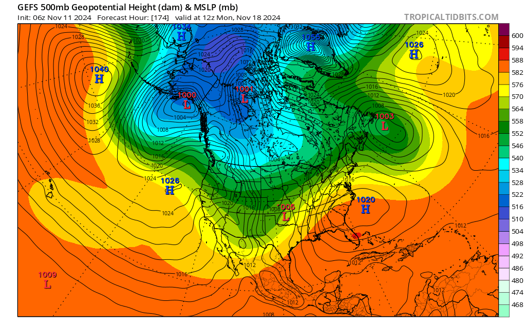
Reality, as in “near normal” will be like a day around here. Sunday, into Monday morning. Monday one of those 30F+swing days. Cold low. Around 30. But By Monday afternoon temps are going to be pushing AN again; 60ish. The deepening -PNA trough is what’s making the transient cold shot possible. But it’s also the big boot with the upper level jet out of the pacific southwest with reach to our region by early Monday.
-
We understand averages I hope. The global average temperature increase is subtle precisely for this reason… Our region is warming much faster than average.
-
When we BN it’s -3; when we AN it’s +15 Not a surprise when you consider our cold source regions are warming the fastest….