Silas Lang
Members-
Posts
696 -
Joined
-
Last visited
About Silas Lang

Profile Information
-
Four Letter Airport Code For Weather Obs (Such as KDCA)
TYS
-
Gender
Not Telling
-
Location:
Knoxville-Inskip
Recent Profile Visitors
-
Just wanted to say, I love these posts about little micro features.
-
Had some lightning here this evening as well sometime around 5pm. Took me by surprise honestly as I had to think for a second as I was looking out the window when it happened. lol Pretty unexpected!
-
February 2024 mid/ long range
Silas Lang replied to Holston_River_Rambler's topic in Tennessee Valley
Not really. Just an observation.- 750 replies
-
- 1
-

-
- snow elk
- wooly worm
-
(and 1 more)
Tagged with:
-
February 2024 mid/ long range
Silas Lang replied to Holston_River_Rambler's topic in Tennessee Valley
Annnddd the 18z looking totally different. lol- 750 replies
-
- snow elk
- wooly worm
-
(and 1 more)
Tagged with:
-
February 2024 mid/ long range
Silas Lang replied to Holston_River_Rambler's topic in Tennessee Valley
Huge improvement. Not a hit, but I would take it this far out anyway. Way better than the cold rain look we had been seeing. The ingredients are at least there on the 12z run.- 750 replies
-
- 4
-

-
- snow elk
- wooly worm
-
(and 1 more)
Tagged with:
-
February 2024 mid/ long range
Silas Lang replied to Holston_River_Rambler's topic in Tennessee Valley
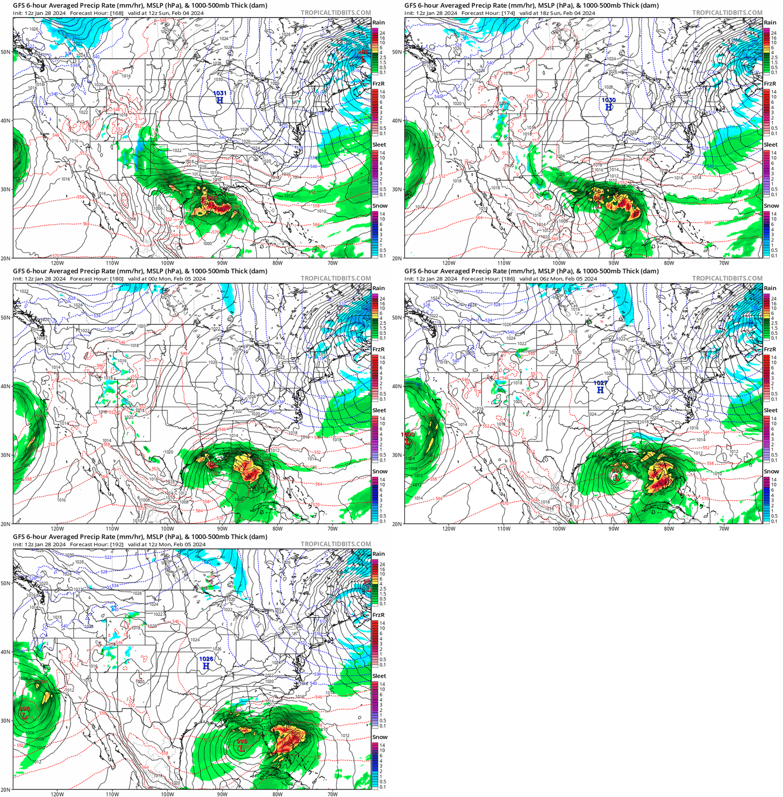
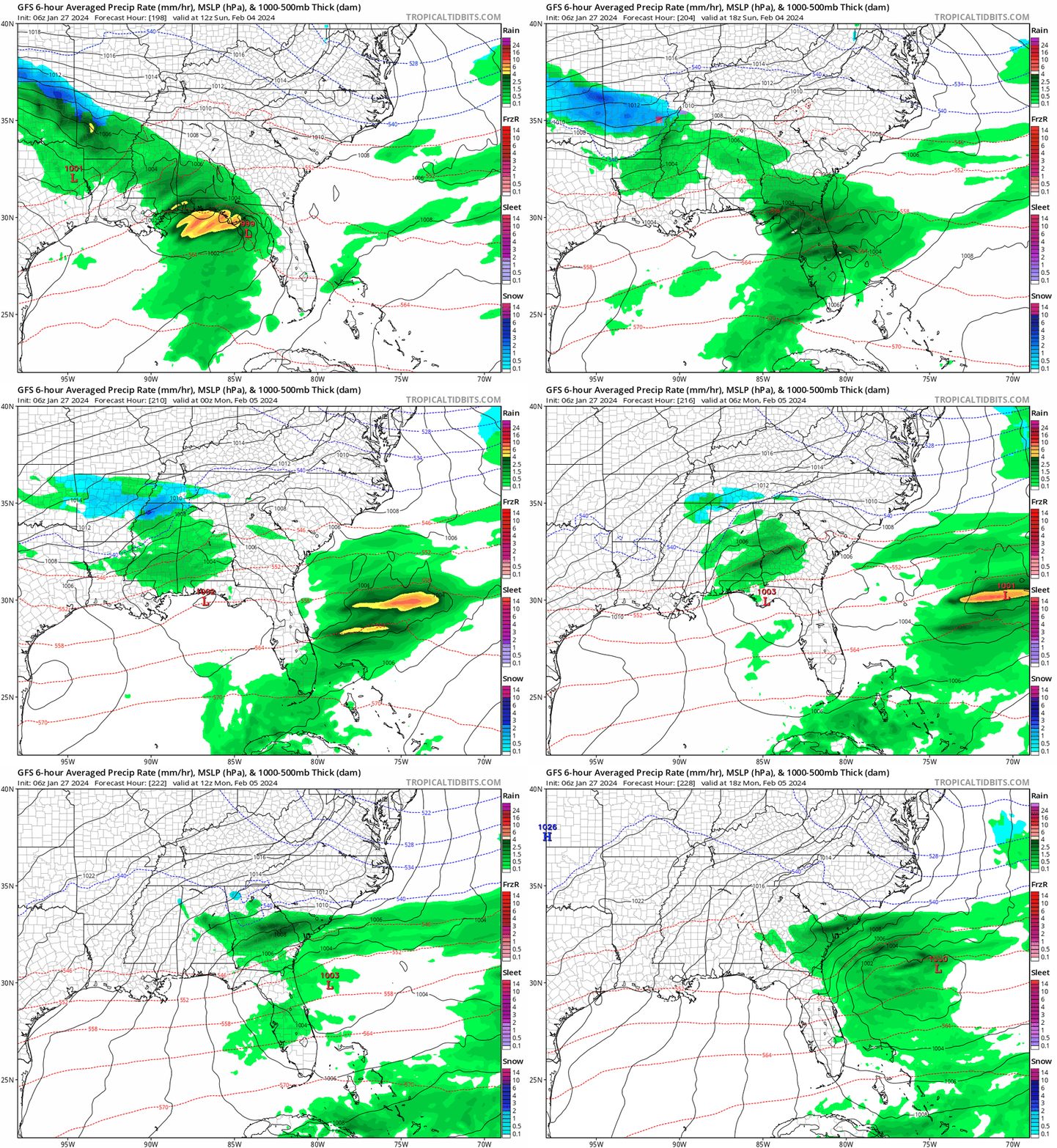
I don't know what maps Pivotal weather shows, but the kuchera ratio is a bit lower on totals. The southern edge of precip has some sleet and freezing rain mixed in in eastern areas. Seems there is a warm layer around 700mb on the 0z run. Pretty weird, as it is a pretty stout cold elsewhere. Interestingly enough, the 06z GFS has a better low placement, but weaker cold air. That said, still way too far out to worry about the finer details. We now have a couple of runs showing a signal. The Euro and Canadian should be in range tonight. Curious to see if they support this setup.- 750 replies
-
- 1
-

-
- snow elk
- wooly worm
-
(and 1 more)
Tagged with:
-
Fall/Winter Banter - Football, Basketball, Snowball?
Silas Lang replied to John1122's topic in Tennessee Valley
Pretty annoyed to see the NCAA is looking into UT for NIL. That organization is an absolute joke. Hope the university (along with others) sues them to oblivion. -
February 2024 mid/ long range
Silas Lang replied to Holston_River_Rambler's topic in Tennessee Valley
I was about to say, finally some real cold looked to filter down at the end of that run. When it's raining in Minnesota, it's hard to get snow here. lol I know it's the GFS at 384, but it lines up with what some of y'all of been saying about mid February onward and opportunities.- 750 replies
-
- 5
-

-
- snow elk
- wooly worm
-
(and 1 more)
Tagged with:
-
February 2024 mid/ long range
Silas Lang replied to Holston_River_Rambler's topic in Tennessee Valley
Yeah, now that you mention it, I seem to remember this happening a few years ago. I was thinking "there is no way that low travels due north"...and it very well did! lol Wasn't there another one last year (maybe the year before) where the low travelled straight into the mountains? Regardless, I don't like energy transfers. Hope it stays a simple Gulf low for all of us.- 750 replies
-
- 3
-

-
- snow elk
- wooly worm
-
(and 1 more)
Tagged with:
-
February 2024 mid/ long range
Silas Lang replied to Holston_River_Rambler's topic in Tennessee Valley
And the CMC is...something. Takes the Gulf low due north to Nashville then transfers to Asheville then finally goes to the coast with another low popping off the coast of GA at the end. Sort of crazy look all over the place. EDIT: to be clear, this about the storm potential on the 5th.- 750 replies
-
- 4
-

-
- snow elk
- wooly worm
-
(and 1 more)
Tagged with:
-
February 2024 mid/ long range
Silas Lang replied to Holston_River_Rambler's topic in Tennessee Valley
- 750 replies
-
- 4
-

-

-
- snow elk
- wooly worm
-
(and 1 more)
Tagged with:
-
The Cumberland mountains look like they are getting hammered. Hard to see through the clouds, but looks like areas over 2500 feet or so are white.
-
February 2024 mid/ long range
Silas Lang replied to Holston_River_Rambler's topic in Tennessee Valley
Man, that is weird about the grass. Was noticing today that mine looks way greener than before the snow. Does all that moisture from the snow and protection from bitter cold with snowpack, help the grass or something? And about the models struggling with all the niña data, the snowstorm we just experienced was modeled as a cutter, similar to the past couple of years until they finally settled on what we got, more or less.- 750 replies
-
- 2
-

-
- snow elk
- wooly worm
-
(and 1 more)
Tagged with:
-
February 2024 mid/ long range
Silas Lang replied to Holston_River_Rambler's topic in Tennessee Valley
Yeah, the GFS has the same storm, but sends it out to sea. The Euro is a little confusing with low pressure popping up everywhere. Some potential in the time period for sure!- 750 replies
-
- 3
-

-
- snow elk
- wooly worm
-
(and 1 more)
Tagged with:
-
Same here. Pretty crazy. Got a fresh coat. I can't see the yellow spots from the dog! lol
- 372 replies
-
- 7
-

-
- cold
- arctic blast
-
(and 1 more)
Tagged with:


