T. August
-
Posts
4,612 -
Joined
-
Last visited
Content Type
Profiles
Blogs
Forums
American Weather
Media Demo
Store
Gallery
Everything posted by T. August
-
Like 4-5 18”+ hits in the EPS members. Also didn’t see it mentioned but the 12z GEPS wasn’t bad. 4-5” mean for 95-SE.
-
I feel like if anything it’s a little better for 95-NW
-
It’s on TT already. It’s like 2-3” for 95, more SE.
-
3.7” from this event brings it to 10.8” on the season. So far just a good bad year.
-
Flurrying
-
That’s me! It says APG every time for some reason lol
-
They reported 3.9” - just absurd and embarrassing.
-
We have the identical total, which is always reassuring lol. Properly cleared I had 3.7”, with 3.4-3.5” depth currently. Very little compaction.
-
Got an additional .2” for a storm total of 3.7”, with 10.8” on the season. Better than last year. Time for bed.
-
3.5” measured in Havre de Grace
-
2.7” at 10:20 in Havre de Grace. .2” in the last hour.
-
2.5” - slowed down a lot, with .3” the last hour.
-
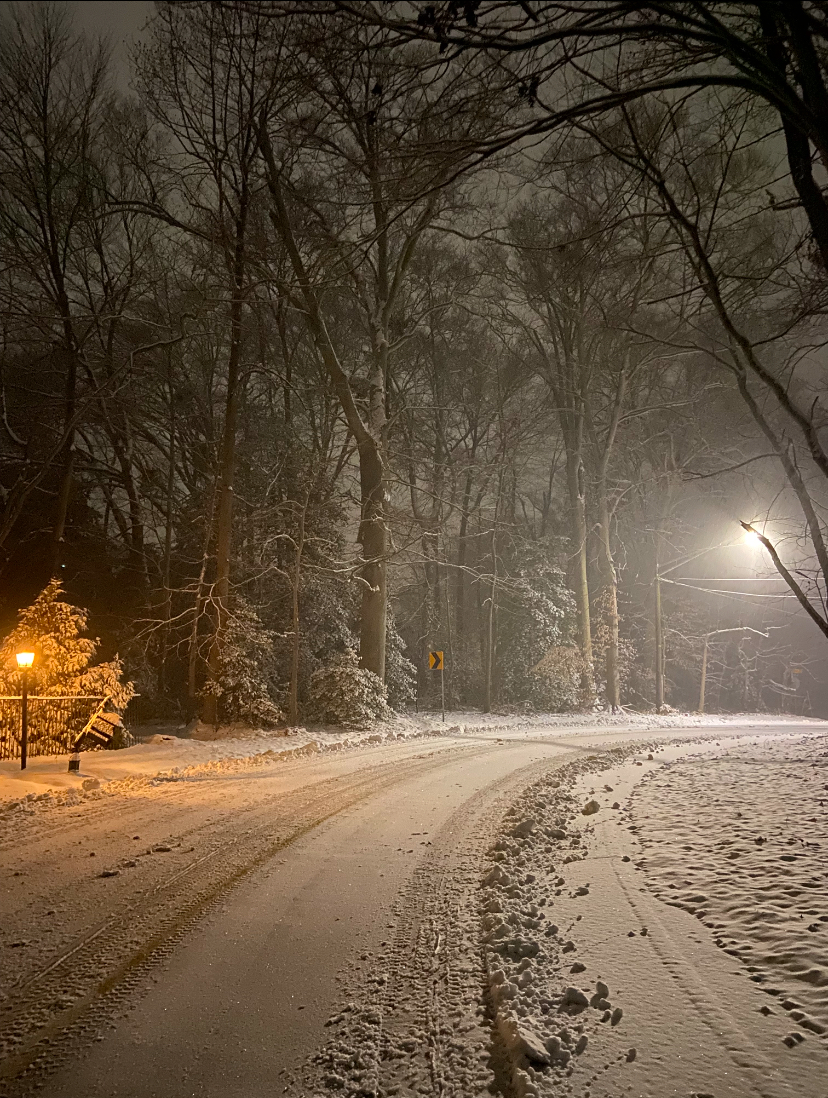
From the walk earlier - had that nice foggy look with the mod snow

-
8:20: 2.2” in Havre de Grace I was hoping for 3” so we shall see
-
1.7” in Havre de Grace at 7:20. Couldn’t quite hit 1”/hr
-
Measured 1.0” in Havre de Grace at 6:20. Dumping sand despite a lackluster radar.
-
.2” in Havre de Grace. New hrrr run snowiest of the day for northern areas, with 2-3”
-
Heavy coating at 29.6°
-
Not sure it’ll help too much but you can see a surge north on radar the past few frames.
-
Same in Havre de Grace
-
Incredible. What was the NWS forecast calling for?
-
I know people hate on the HRRR, but damn, it should be concerning with how little qpf it shows. It’s like .3-.4” in DC with .1” by the M/D line. If the 3k NAM is even remotely similar it’s time to consider the potential for a bust.
-
Wow! Congrats!
-
The gfs wasn’t bad for northern areas. 3-4”
-
lol that was the worst one yet. Pretty much a non-event north of DC.