T. August
-
Posts
4,612 -
Joined
-
Last visited
Content Type
Profiles
Blogs
Forums
American Weather
Media Demo
Store
Gallery
Everything posted by T. August
-
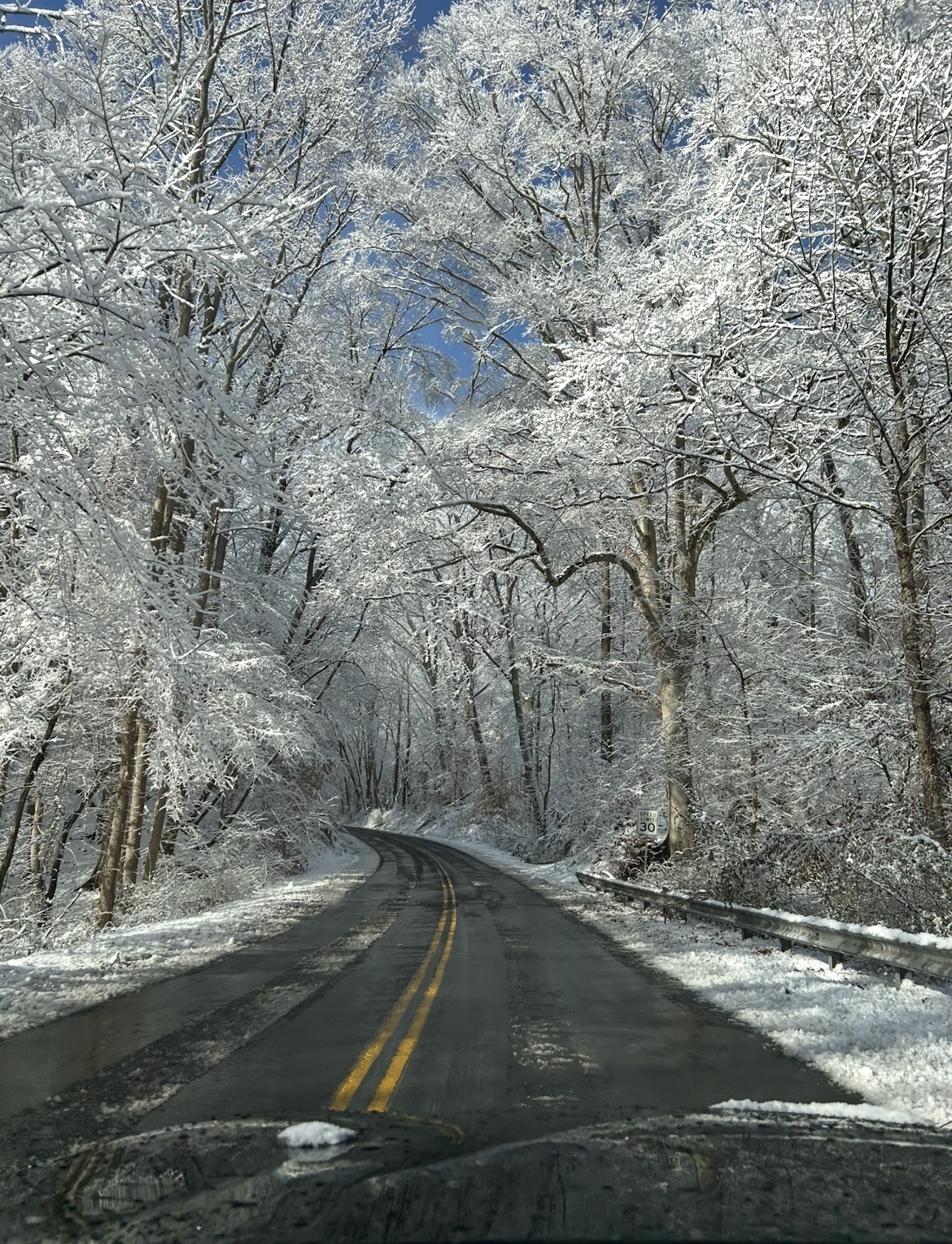
16.9° for the low. Currently 25.1° and cloudy. Driving around in the hills, it seems like 400’ was the magical number for more accumulation. At 300’, virtually identical to mby at 30’ ASL.
-
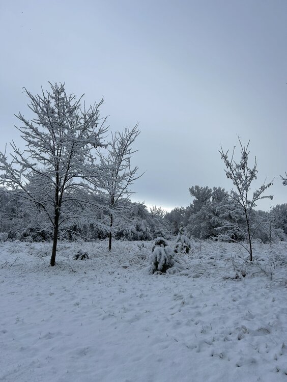
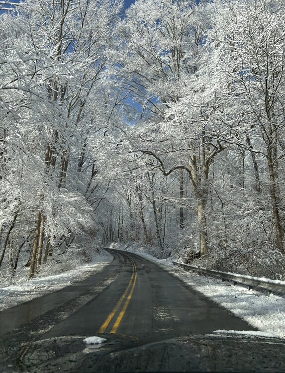
A couple photos - beautiful day
-
12/14: 3.3” Total: 4.1”
-
Yeah it was difficult. I finally asked my neighbor if he would mind if I measured the sheltered area on his property. He was so confused but obliged. 3.3” was what was measured on the uncleared surface. So could have been a few tenths higher even, but alas, the 3.3” is what was submitted to LWX.
-
Cousin in the higher elevations of Havre de Grace (400’) got 5”. Frustrating being so close but those extra 2° made a huge difference. Haven’t had an elevation event in a long time.
-
SE PA got smoked. 7-8”
-
Also learned that my snowboard apparently doesn’t like snow. Snow board had 2.9”, asphalt in front of the house had 3.2”, and it was also salted lmao.
-
Yeah I did end up with more but you were in a better spot it seems
-
This one was a tough measure. Not counting grass, I measured 2.9-3.5 in different areas. Some grass spots had 4”+ I’m leaning towards splitting the difference at 3.2”. @Kay what did you measure?
-
Where are you located?
-
2.6”
-
2.0 dumping in Havre de Grace. Glad I woke up
-
Damn congrats. Not even half an inch here lol. I’m not setting another alarm.
-
Looks like maybe .25” of snow. 32.3°
-
Same here in Harford County. Down to 33.2° though, so colder than forecast.
-
Rain/snow in Havre de Grace. 34.7°
-
Light rain in Havre de Grace. 36/30. Not sure how I feel about it now lmao.
-
36/30 in Havre de Grace
-
It’s an ass hair drier but pretty consistent. Good thing to see.
-
Dry?
-
We doing obs in here? 37.9/30 in Havre de Grace. If we can get to 34° by precip start I think it’ll be ok.
-
Man if we get 5.0” I would be ecstatic. That would be the most since Feb 2019.
-
Anyone have precip and or snow on ukie?
-
Like I posted earlier, I think worst-case scenario would too warm at the start but then heavy snow at 33°. I think 2” is almost guaranteed.
-
5” dot over @Kay for the jackpot