

PivotPoint
-
Posts
714 -
Joined
-
Last visited
Content Type
Profiles
Blogs
Forums
American Weather
Media Demo
Store
Gallery
Posts posted by PivotPoint
-
-
Just now, WxUSAF said:
Sounds like wishful thinking to me
If that were true then I don't think you would of seen a step back in the GEFS. You'd still see at least a couple well timed-up solutions which were all absent from 12z
-
My point earlier (which I thought was a clever one but got deleted, god forbid one makes analogy during storm mode) was that model inconsistency aside it is best to use our climo analogs to determine events like this. Not just discrete analogs. So, its a little dissapeointng to see such a removal of the coastal aspect from the gefs and the op. The cmc seems out to lunch but euro weighs in momentarily.
-
 1
1
-
-
1 minute ago, WxUSAF said:
To slightly polish the turd that is the 12z GFS, during the WAA snows, the DGZ is quite deep and there is some weak/modest lift within it. Ratios should be a bit better than 10:1 if this were to verify.
That is a good look. However I’m now concerned about spacing and timing of the transition of the slp. The moisture that is coming over the blue ridege is light as depicted. I’ve seen models overestimate the ability of that moisture transport to overcome that natural barrier. I was relying on the coastal transitioning quickly and taking a slight jog up the coast as it exits. Without that scenario we’re relying on our first 1-3” inches of snow to come by way of the front end crossing the blue ridge. Then a late coastal addition of another 1-2”. I just see way too many ways to fail on this one. My main point is I don’t like how we are positioned in the transitional zone of the handoff to the coastal.
-
Things are starting to unravel a bit. Low end is now a possible shut out because .1-.2 on globals can actually mean nothing on the ground — dry mid levels, shadowing off blue ridge, etc) if were expecting 2-3” as the coastal is pulling away... tell me how many times that’s worked out. 1-2” would be a BIG win at this point imo
-
2
-
 1
1
-
-
4 minutes ago, stormtracker said:
The NAM is kind of a red flag to me. I know it's a sh*t model outside of 60, but it's a little un-nerving seeing the wettest model so dry. Hopefully that improves inside of 60 hours.
I wouldn’t sweat it to much with the nam just yet. You know this obviously. It doesn’t have the skill 60-84 especially with coastal evolutions. Holds energy in weird ways sometimes and you get these odd looking scenarios. Wouldn’t worry
-
1
-
-
54 minutes ago, MillvilleWx said:
Models are beginning to hone in on the median ground for the setup. The trimming on the northern side is occurring because of the confluence and dry mid-level northwesterly flow north of our area. It’ll probably be a sharp gradient of nothing to accumulating snow across PA. I still see our northern reaches getting in on the action and secondary band like structure right on the edge of the confluent zone where mid and low level convergence sets up. Pinning that will be something that gets settled closer to game time.
As for rest of forum, increasing likelihood of Advisory level snows with 1-3/2-4 inches from I-70 corridor to NoVa and 3-6” within the area that’s gets a cross of the best WAA snows and the redeveloping coastal. That part still has yet to be solved, so those numbers could bump if we get a trend towards a better NW expansion of precip field when the secondary takes shape. The max snowfall I could see from this is 6-8” with the Central Shenandoah the prime spot due to better position within the left exit region of the southern jet streak and aided orographic enhancement, maxing out on lift within the DGZ.
So far, what I mentioned yesterday and what LWX has in their discussion lineup, so I don’t feel the need to change my forecast right now. I still wouldn’t rule out a dual “max” and someone along Parr’s Ridge getting 3-5” of cold smoke due to that convergence zone along the confluent setup to the north along with aided orographic enhancement. Ratios from storm will range from 8:1 within very light snowfall where needle type crystal structures the common snowfall type to 15-20:1 where best lift/omega resides within the DGZ on both the jet streak and orographic enhancement, as well as the deformation axis on the northwest flank of the secondary. That latter part will probably take another day or two to be solved.
.This is called expert analysis and we are lucky to have them. Good write up and well explained
-
3
-
-
16 minutes ago, Ji said:
dont look at CMC 240
I did. Let’s say screw this event and start tracking a REAL storm.
-
2 minutes ago, jackb979 said:
2-3 inches on GFS run for DC/Nova. Good run for Richmond
That’s inaccurate
-
Just now, GEOS5ftw said:
CMC shifted north from 12z...6+ line up to DCA/BWI.

Lol CMC ups theante. GFS hours of light snow, looks weak but slp is closer to the coast then 18z.
Would sure love to buy me some stock in cmc but hard to without support. Biggest euro run of the season! Ha
-
Nam won’t pick up on the proper evolution past 60hrs. But the strung out factor is increasing across guidance. I still like my mind set from beginning of 2-4”. More is better but euro will most likely start leveling expectations at 0z
-
3 minutes ago, Interstate said:
The bigger question is can it climb the coast or go OTS?
The former would probably put us in that 5-7 zone. OTS is starting to look like low end stuff but euro will weigh in soon enough
-
Personally, I see the lastest EPS as a nice consensus of an incoming event and a possibility of more favorable timing leading to bigger solutions.
This is what makes this hobby fun
Till it isn’t anymore and I turn down the bitter sweet path of living only for KUs like our fearless leader. Ji
-
1
-
 1
1
-
-
16 minutes ago, NorthArlington101 said:


Wow, there are more big hits in there than I was expecting.
Any sort of trend towards a bigger hit in the next 2 runs and the ensembles are going to light up big time. Not probable but it shows the possibility is still alive
eta: and those are 10-1 maps. Not often we can expect better ratios — nice!
-
1
-
-
42 minutes ago, Bob Chill said:
Yea, my fail bar would be the majority of the region not getting at least 2" out of this. Certainly still in the realm but it's been rare when southern stream precip events dry out in the short range. That general trend has been going on for many months and should be in our favor.
I literally agree with everything you just said lol
There is still fail potential (any event really) but there’s also some upside with this system as well. It’s certainly not void of moisture and small timing difference in the NS and SS could bump us up from 2-4 to 5-7 pretty easily.
For once it looks like our spot is favorable to miminimize downside risk with also ability to reap the upside too. We’ll see
-
1
-
-
1 minute ago, Bob Chill said:
Blending all guidance still locks us in for at least a 2-4" event. My head is agreeing with having a light event but there is very little that needs to change for something like the 12z euro from yesterday. We're still right in the pocket for that type of solution. It's looking less and less likely that we fail completely. If anything, our area is probably in the best best spot for this one. I'm feeling pretty good right now. Sorry Ji and EJ though...
2-4". Reasonable
-
1 minute ago, Interstate said:
I gotcha now... I thought you meant the overall run of the EURO... but you are just talking about the evolution of the coast low that could enhance our front end snow.
Yes, exactly. And back end to the extent of the slp track
Sorry I should of been more clear
-
1 minute ago, Interstate said:
Yeah... you cannot compare TT Euro maps on 12 hour runs because the panels are in 24 hour increments. You would have to look at yesterday's 12z run
I know man. It wasn't apples to apples but it gave me the broad strokes to surmise that it wasn't a better trend for coastal hugging. which is what I was getting at. It exited the coast kinda lame. True?
-
1 minute ago, Interstate said:
 ... by 120 it is way out in the Atlantic.
Not way out. And I was using 120hr to compare to the last 0z run to see what the strength was like exiting the coast or if there was still an organized slp coming up the coast. TT maps aren't the greatest
-
2 minutes ago, Bob Chill said:
Pretty evenly distributed .3-.4 through our region. Trimmed back from 0z. That's 2 in a row with decreasing qpf in general.
Any thought in the ridge closing off again out west. Is there causation here or just coincidence?
-
2 minutes ago, Bob Chill said:
0z is a better run. Not as organized as it slides by to the south. Lowered QPF in the jackpot area.
500mb @120 does not look great
-
@ 96 slp coming in little higher. The ridge being closed off is slowing the SS to climb a little more. Hopefully translate to QPF max moving from down below Richmond to near EZF.
We'll see
-
 1
1
-
-
3 minutes ago, yoda said:
To my weenie eye this looks good

Its doing that thing where it closes off the west coast ridge again
-
6 minutes ago, winterymix said:
Agreed. Here is another way of saying something similar:
http://origin.wpc.ncep.noaa.gov/discussions/hpcdiscussions.php?disc=pmdepd
Yea, that makes sense. Thanks
-
Just now, BristowWx said:
might not be warning level for some but long duration. Once the ground is white and covered then its about seeing snow fall for a long time while I watch TV vice 4 inches or 8. that's just me. I toggled back and forth quite bit between 6z and 12z and to this untrained eye it looked ok to me at h5...or I should say 12z looked better than 6z being a bit more amped.
The problem with taking the models verbatim on duration is that duration events almost NEVER play out in our region as depicted. That is a pretty hard to argue point around these parts.
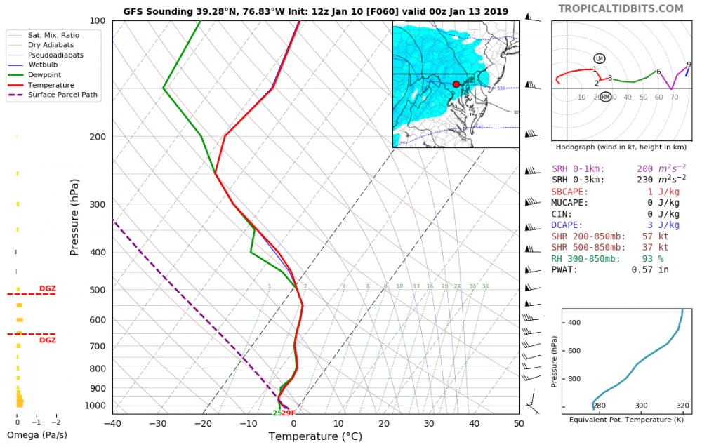
I see the 12z GFS dropping almost 1/3 its qpf as the slp finally starts to gear up and pull away. Obviously, taking the best lift with it and out of our region. I personally would not put much stock into a 30hr+ snow event around here without an extremely unique setup. My current wag off latest guidance is a quicker exit of precip or slower saturation upon onset to override dry mid-levels.
My guess would be 4-8 hours less of precip then modeled which is probably .2-.25 less qpf depending on whether the front side is slow or backside is quick. Puts everyone in DC metro around 2-4" event which is my first official guess.
I'd take that
-
1
-

January 12-14, 2019 Storm Discussion STORM MODE
in Mid Atlantic
Posted
That's well played
Southern slider was always most likely outcome if you followed the H5 progression. Never quite got to where we needed it now models are coming around
Mappy owes you an apology. She used one model run 2 days ago to troll you when you said your opinion was unchanged just because one run of the GFS showed an amped scenario. Good job sticking to your original analysis. Probably will turn out right