

40/70 Benchmark
-
Posts
72,923 -
Joined
-
Last visited
Content Type
Profiles
Blogs
Forums
American Weather
Media Demo
Store
Gallery
Posts posted by 40/70 Benchmark
-
-
12 minutes ago, snowman19 said:
Agree. I think we are stuck in a -PDO decadal state for at least another yearI think last winter was a sign of change, but its probably going to be an incremental, two steps forward, one step backwards kind of deal. ...
-
1 minute ago, LibertyBell said:
Sort of like December 1966 but a bigger event?
1966-67 a GREAT winter and it went out very snowy and very cold in March too.
I had a quick hitting 7"er very late xmas eve into early Xmas AM 2017.
-
 1
1
-
-
1 minute ago, LibertyBell said:
Was that similar to the thundersnow event in December 1996? What a book end winter that was between December 1996 and April 1997 lol.
Simlar totals, but December 1996 occureed over two successive events in close proximity....Dec 1997 was just one event. The follow up one in Dec 1996 was mainly rain on the coastal plane.
-
1
-
-
I would love to get a slow moving HECS that breaks out around noon on Xmas eve and rages into Xmas night....been teased a couple of times, but no dice.
-
1
-
-
2 minutes ago, LibertyBell said:
97-98 would have been the worst if it wasn't for that unexpected first day of spring snowfall, although 01-02 was a warmer winter and had the shortest period between first freeze and last freeze I've ever experienced. I had roses blooming until just before New Years and crocuses coming out in the last week of February lol
The only redealming event that I had that season was a couple of days before Xmas....there was an explosive storm on 12/23/97 that produced insane rates and dropped 1-2' around the area. Ayer, MA has 8" in one hour.
-
1
-
-
I had about normal snowfall in 82-83, in large part thanks to the Megalopolis system.
-
1
-
-
1 hour ago, Typhoon Tip said:
Heh 25 deg rise and it's only 9 and change. impressive
45 to 70
Yea, 45.1 here, too.
-
 1
1
-
-
3 minutes ago, TheClimateChanger said:
Nah, eastern Great Lakes. Still one of the snowiest Januarys on record in most areas, and like 90% of it fell in the first two weeks or so. I think we were out of school more than we were in school during that stretch. These don't even capture the fact that the big midwest blizzard brought a lot of freezing rain and sleet at the beginning of the month (1/2 to 1/3). So, yeah, that was a very impressive wintry stretch in an otherwise ho-hum winter.
Erie - 4th snowiest January

Buffalo - 3rd snowiest January

Cleveland - 6th snowiest January

Canton/Akron - 5th snowiest January

Youngstown, Ohio - Snowiest on record

I was speaking of that winter in a NE US context, but it makes sense that it wasn't as bad in the GL region....that set up isn't as hostile there.
-
3
-
-
1 minute ago, TheClimateChanger said:
The first half of January was rocking in my neck of the woods. Maybe overall it was warm, but we had storm after storm to start the year. Probably the best two week stretch other than February 2010.
Yes, the winter overall sucked.
You are in the mid atl, I assume?
-
42 minutes ago, LibertyBell said:
I think this also happened to you in 2010-11 for the Boxing Day event.
Yes, but it was more widespread in that system because it was occluded, so there was just narrow area near the coast that got creamed under the low level deformation.
-
1
-
-
10 minutes ago, LibertyBell said:
So we need to find some way to prevent or block super el ninos from happening to keep the climate from having these large jumps? How long does the climate take to recover from these environmentally catastrophic super el ninos and has there any research been done to modify, weaken or block them from happening?
By the way I see how 1982-83 affected the climate for the entire 80s (low snowfall decade) but 1997-98 seems to have had a shorter time before we recovered as the entire 2002-03 through 2004-5 period was quite snowy here.
The next global baseline jump in temperatures occurred in 1997-1998 and was much larger than 1982-1983. So the coldest CONUS winter of this era was 2009-2010 which ranked at #22 coldest since 1895. The coldest Northeast winter of this era was 2014-2015 which ranked as #22 coldest.
I don't think strong El Ninos are the catalyst for global warming, rather I just think global warming manifests most prominetly during high-end warm ENSO events.
-
1
-
-
8 minutes ago, LibertyBell said:
Oh that sucks, that el nino was likely too strong for you.
PD II was just bad luck...I was in a subsidence area of around a foot.
-
1
-
-
14 minutes ago, LibertyBell said:
Yes, we had bad winters like 1998-99 during the 1950s too. Winters which lack snow during DJF and deliver a parting shot in March have happened before and will happen again.
It will never end well in the NE US for fans of winter when you have death-star vortex INVO Alaska and the Bering Sea...never has, never will...I don't care which climate era you are in.
-
1
-
 1
1
-
-
1 minute ago, LibertyBell said:
Yes, nothing annoys me more with winter than having a somewhat snowy winter without a big event as the centerpiece. It's why 2002-03 ranks so high for me, it had snow on Christmas, the big 26 inch PD2 in the middle of winter and a snowstorm to close out the season in April.
Eh....the Xmas event occured later in the Xmas day and was heavily tained with IP for me, and I got crewed in PD II. That winter was good, but left a lot on the table.
-
 1
1
-
-
This would have been a slightly cooler shitty winter in 1898-1899...people get carried away with the CC crap. It was a bad pattern, regardless of the warming climate.
+WPO/+EPO/+AO+NAO/-PNA/-PDO and a strong modoki La Nina, but sure...lets focus on CC. That season was an instruction manual on how to avert winter in the NE US.

-
2
-
 1
1
-
-
22 minutes ago, PhiEaglesfan712 said:
That type of winter would almost certainly be a blowtorch winter in the Eastern US in today's warming climate. All you have to do is look at 2016-17, which was a similar-type winter to 98-99, and that torched in January and February. If not for March, this would have been a low-snow season in Philly and NYC. In places south of Philly, 16-17 was a Top 10 least snowy winter in Baltimore and DC.
It was a blowtoch then....the winter sucked.

-
1
-
-
38 minutes ago, kdxken said:
NBM blend wouldn't be awful for most. Not that we need more rain.
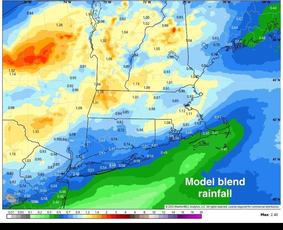
That's a general 3/4" to an inch or rainfall....I mean, what has happened to us when that isn't considered awful on a Saturday

-
2
-
-
6 minutes ago, bluewave said:
The global temperatures that I am citing are directly related to the ones experienced across the CONUS. The days are long past when the concept of a warming climate remains an abstraction. Now it dictates the ranges of winter temperatures and patterns along with other seasons.This is why the winters across the globe and the CONUS are much warmer with each new jump in global temperatures.
The idea is that these baseline jumps in temperatures are permanent across the globe. But the door is always open for very high end volcanic activity which would shift us back temporarily to colder regimes of the past. Though after a number of years we would revert warmer again.
This storm track shift to warmer and further north is still a work in progress after 7 seasons with the record low snowfall totals. I think it’s possible the there could be some shift in the way the Pacific is warming which could lead to benchmark snowstorm tracks returning from time to time. But I don’t think it’s very likely the record 2010-2018 with the 50 to 100 year concentration of KU Benchmark tracks will return absent major volcanism.
Through the 1970s the world was still in a much colder climate. This allowed the CONUS to have the #1 coldest winter since 1895 in 1978-1979. The CONUS also experienced their 7th coldest winter in 1977-1978 and 12th coldest in 1976-1977. The Northeast recorded their #5 coldest winter in 1976-1977 and 11th coldest in 1977-1978.
Our first baseline jump in temperatures across the world occurred in 1982-1983. Across the CONUS the coldest winters of this era were 1983-1984 at #18 and 1984-1985 at #19 coldest. For the Northeast the coldest winter of this era was 1993-1994 which ranked as #13 coldest since 1895.
The next global baseline jump in temperatures occurred in 1997-1998 and was much larger than 1982-1983. So the coldest CONUS winter of this era was 2009-2010 which ranked at #22 coldest since 1895. The coldest Northeast winter of this era was 2014-2015 which ranked as #22 coldest.
Another major baseline temperature jump happened in 2015-2016. So the coldest winter of this era was 2018-2019 at #84 coldest for the CONUS.
The most recent even larger baseline jump in temperatures started in 2023-2024. Our coldest CONUS winter so far was 2024-2025 at #104 coldest. This past winter was also the 27 warmest on record for the CONUS even with the coldest temperatures in the Northern Hemisphere focusing into the CONUS in January. But December was so warm for the CONUS at #4 warmest that is balanced out the winter average to much warmer.
I agree with all of this.
-
1
-
-
6 hours ago, LibertyBell said:
January 2016 was like February 1983 on steroids. The added moisture with that storm was definitely CC induced, there was a research paper on it.
30.7 inches of snow with 3.00 inches of liquid equivalent at JFK
February 1983 Megalopolis event was very good for my area (about 18"), but January 2016 was a fringe job....I got like 2" of pixie dust.
Too bad the southeast ridging wasn't as strong in this "new climate" as it was back in 1983 ; )
-
1
-
-
6 hours ago, LibertyBell said:
So we have a few that good winters for both of us.
I only listed what I consider A winters. A few of the other ones you listed were B+ here, among them 2004-05, 2008-09 and 2000-01. 2003-04 also fits into that group.
For my current location, you can probably exchange 1995-1996 for 2000-2001...my area now did much worse in the Jan 7, 1996 blizzard and much better in the March 5, 2001 event than my former locale.
-
1
-
-
7 hours ago, Stormchaserchuck1 said:
Negative PNA
After the lowest daily PNA since 2017, 8 years, in May, the PNA is forecasted to fall below -1 again

June would be the 4th consecutive month with negative PNA
I rolled forward the March-April-May PNA and April-May-June PNA to the following Winter, to see if it leads anything.
Surprisingly, there is no PNA signal the following Winter.. correlation is near 0 in the North Pacific. So to say that this Spring/early Summer PNA is going to lead the Winter is not completely right.


There is, however, a NAO signal. Negative PNA March-June puts the probability at about 56-57% that the Winter NAO will be negative [correlation of below maps is opposite]


US temps for the following Winter are neutral, for the -PNA rolled forward. About the best you can hope for.
Yea, I'm going to bet against a -NAO at this juncture, but will see once I do my polar domain research and you get your index calculation in.
-
6 hours ago, LibertyBell said:
Ray you must have done really well in 1993-94 too.
My area was a local min....the Worcester hills and Boston area down to the south short did much better. i was only likw 10-15" above average...pretty blah. Similar to 2013-2014 in that regard....those are my two most overrated winters...they both lack signature events.
-
1
-
-
14 minutes ago, michsnowfreak said:
My favorite going back to 1990:
2013-14
2010-11
2007-08
2014-15
2004-05
2002-03
2008-09
2017-18
2000-01
1998-99
1995-1996
2014-2015
2010-2011
2004-2005
2017-2018
2002-2003
-
3
-
-
2 hours ago, michsnowfreak said:
For example tho, I think the 2024-25 winter could've had a lot more potential than it showed. So a similar outcome this coming winter may yield better results, especially for the Midwest and northern New England, but possibly further south as well. I think avoiding a major drought in the central and west states this summer will help too.
2 of the past 3 winters are good examples of how the pattern is more noticeable than the final snow number here. As I said, the 2024-25 winter dropped total snowfall inches of just upper 20s in Detroit to the highest being upper 30s in the microclimate NW burbs. But yet the public viewed it as an "old fashioned winter" due to the frozen white landscape much of the time (area-wide, but esp north). Just two years prior in 2022-23, snowfall totals ranged from just under 40" at Detroit to the upper 50s in those NW burbs, yet the vibe was "what winter?/mild winter" due to the mild temps and frequent bare ground spells.
Now i dont entirely discount the final snow number- far from it. I was frustrated this past winter at what i thought was a winter that underperformed the hand it was dealt, much like I thought 2022-23 was snowier than it should be.
So if the pattern this Fall looks similar to last fall, I urge everyone to not expect anything close to a verbatim repeat of their sensible weather.
NNE did fine....it's SNE that keeps getting the train run on it by mother nature.
-
1
-

June 2025 Obs/Disco
in New England
Posted
This is why I have been quietly cheer it on.....nothing we can do about the dews, but the smoke may cap the heat a bit.