BoulderWX
-
Posts
1,314 -
Joined
-
Last visited
Content Type
Profiles
Blogs
Forums
American Weather
Media Demo
Store
Gallery
Everything posted by BoulderWX
-
All rain still in Morristown. Glad to see others getting in on some snow!
-
.57” - less than I was expecting at this point but enough mitigate the dust that’s been around the last month +
-
Siesta Key @ 115 was my call from two days ago. Wishing all those in harms way the best. As many have stated the backside of this storm has some of the strongest winds associated with it. This is just beginning for many.
-
More on this here - south of most guidance *for now*
-
Agree. Eye is looking a little more ragged this morning but doesn’t really change the threats much. Forecasted surge and rainfall already seem to be a lock. Max winds and landfall location still to be determined. sticking with my 115mph LF @ Siesta Key prediction
-
It will, how much is the question. Currently thinking a Siesta Key landfall as a cat 3 (115 mph).
-
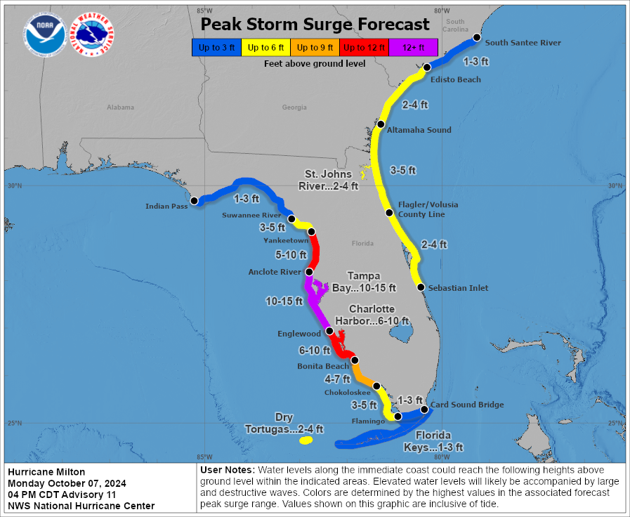
Not the direction you want to see things trending
-
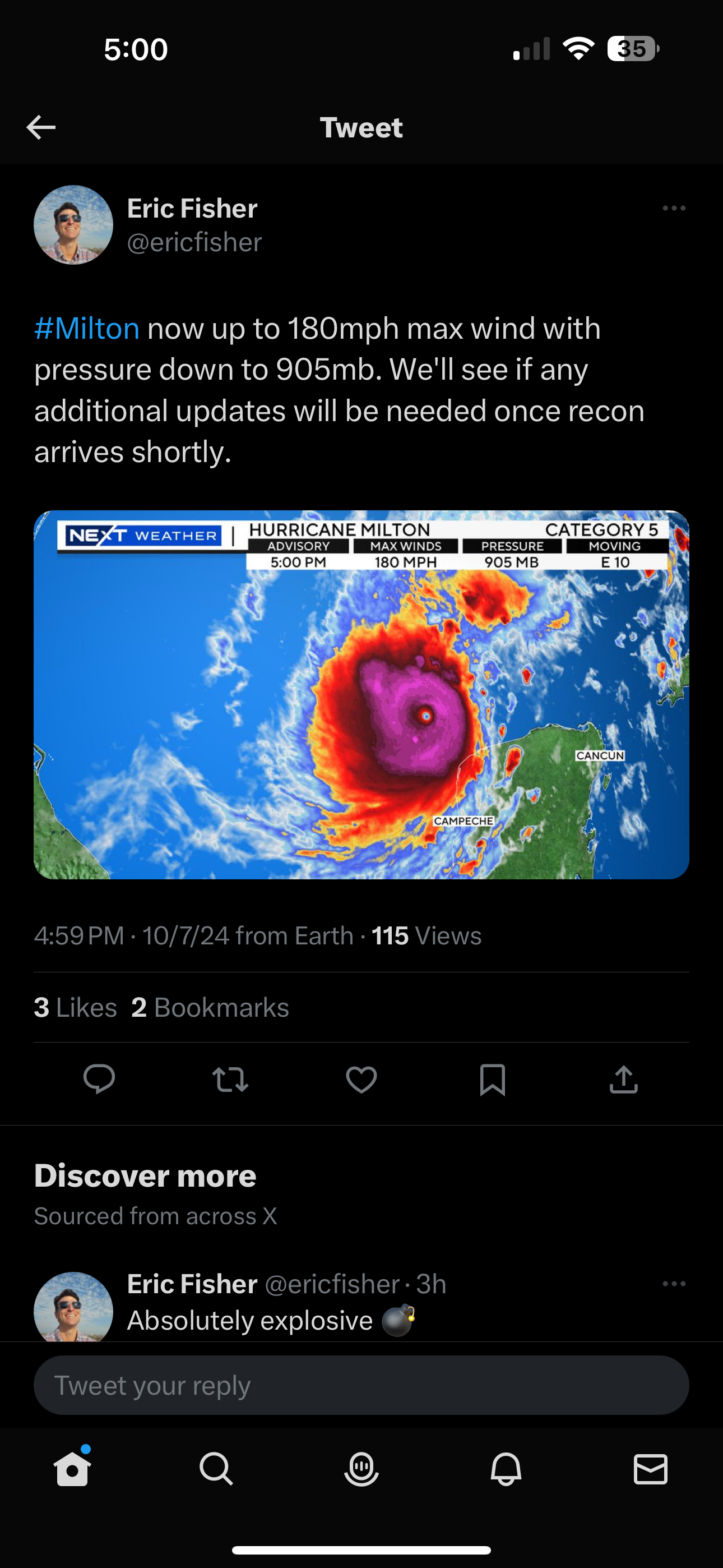
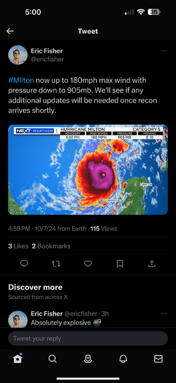
180/905 - wow
-
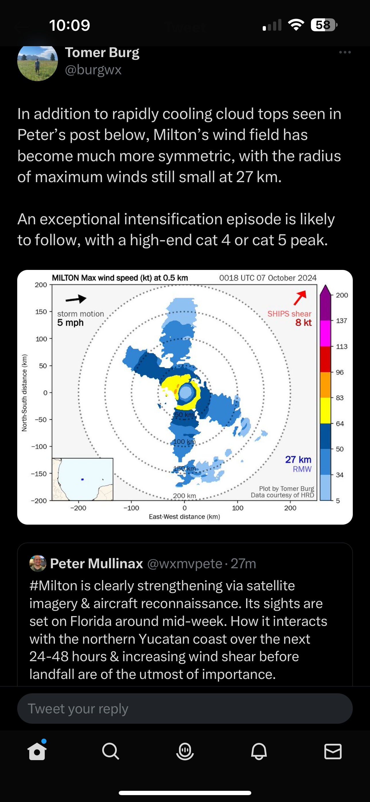
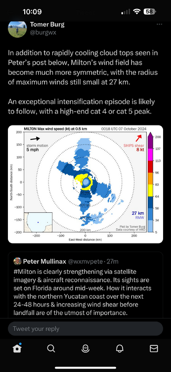
The symmetry is “beautiful” from a meteorological perspective but horrifying for those in its path. All we can do is hope for tremendous weakening before landfall (it will, just to what extent). No words. https://weather.cod.edu/satrad/?parms=meso-meso2-08-96-1-100-1&checked=map&colorbar=undefined
-
And we’re off…
-
Horrible angle and LF location for TB verbatim on that run. Going to be a long couple of days
-
Hands down the worst post I’ve seen this year and that says a lot. This post can only be viewed as ignorant trolling or attention seeking. Either way, it’s just nonsense. This is another 25B+ in damage storm incoming.
-
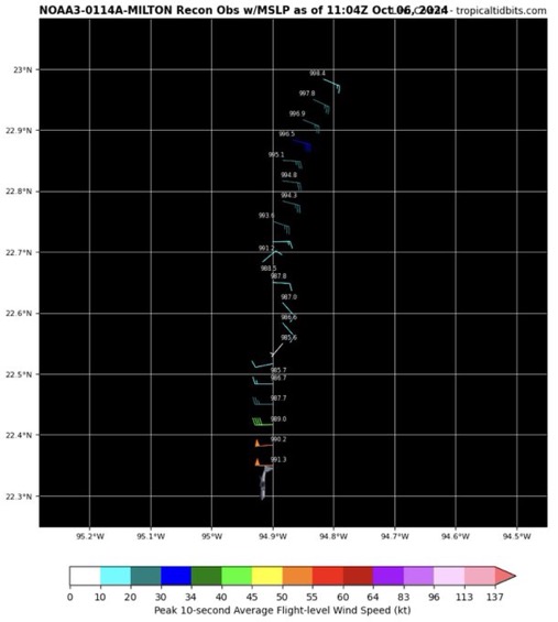
Recon actually found 986. But your point remains
-
-
06Z gfs looks around 958 just North of Tampa 06z icon is roughly 991 south of Tampa 06z NAM about 30 miles west of Tampa still at 84 @ 982mb
-
Do you happen to have an image or better yet a link I can bookmark. Know where to find all the globals but not sure best sites for hurricane models.
-
Appreciate the response. Another poster echoed that as well right before I posted.
-
Question - from the angle the storm will be coming, would it be worse for Tampa (surge wise) for the storm to track north of the metro or south? TIA
-
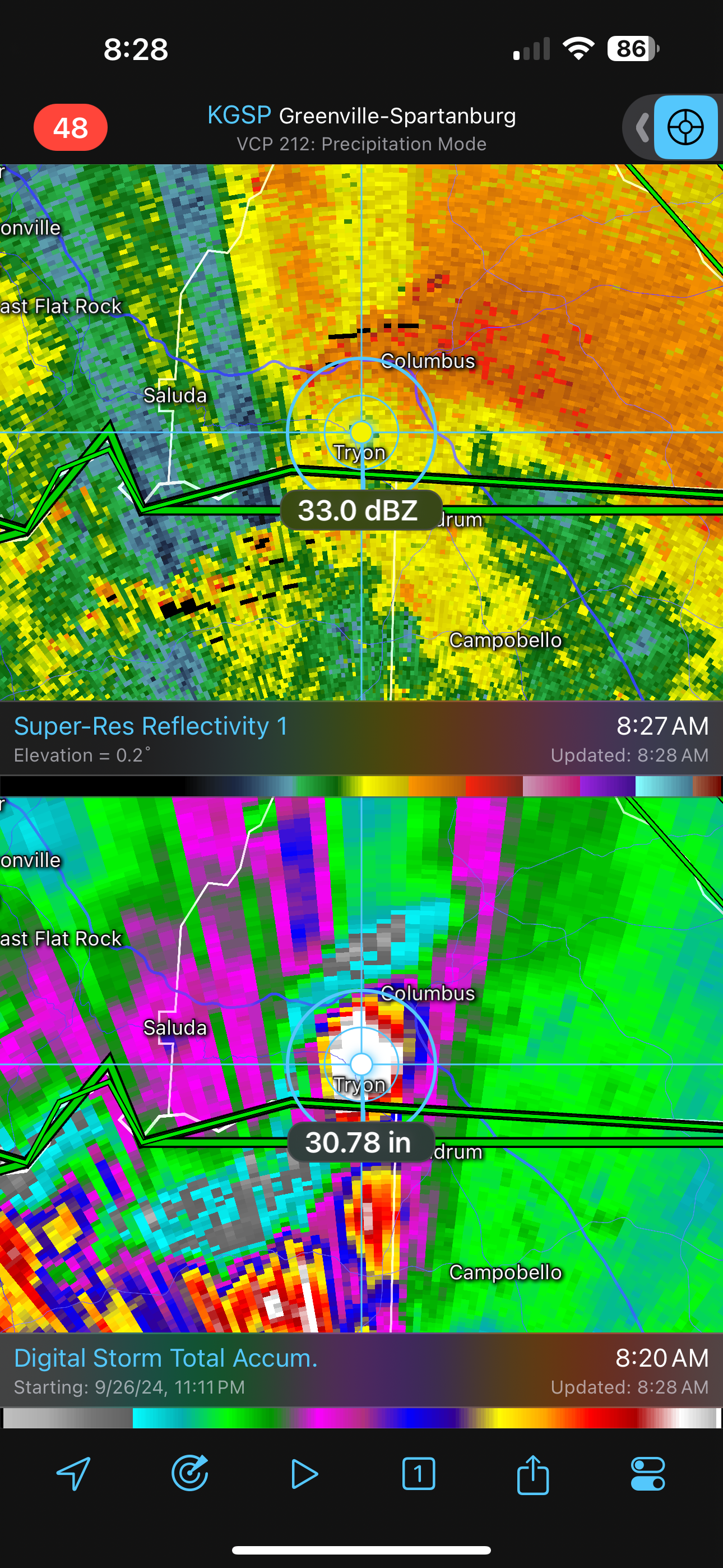
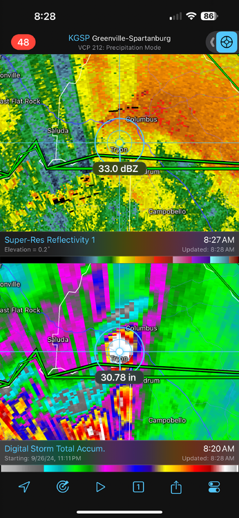
First spot of 30” based on radar estimates*
-
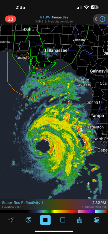
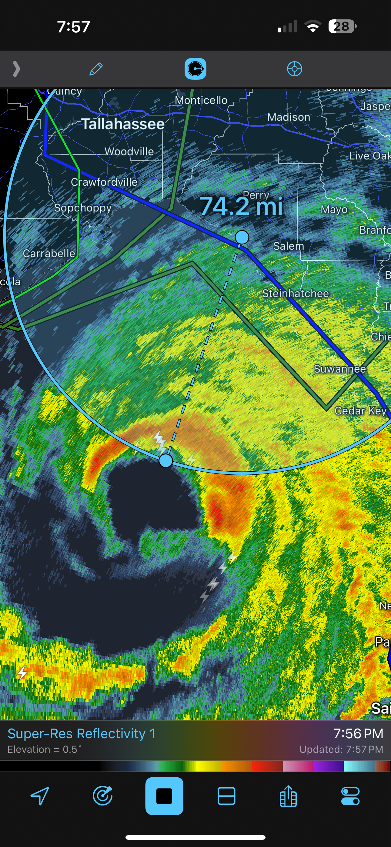
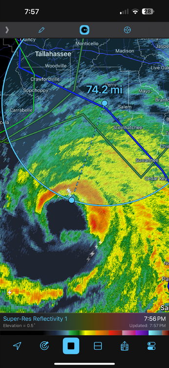
Looks very close to a landfall in Steinhatchee or very close to it. For some reason won’t let me post radar shot from RadarScope edit: TWC confirms outer eyewall has made LF.
-
Stay safe man!! Looks like you’ll get the eye wall or very close to it.
-
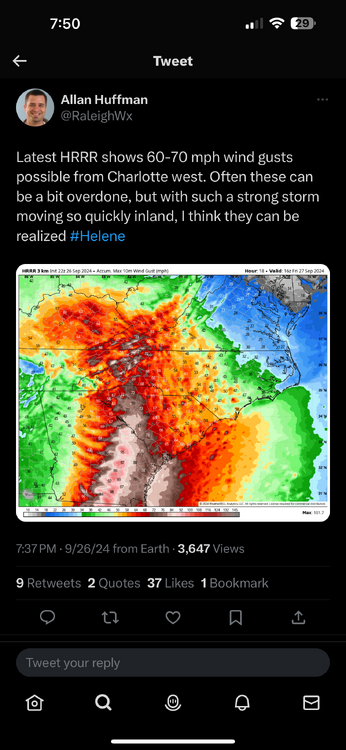
Looking upstream…
-
Probably about 3 hours until landfall
-
Yup
-
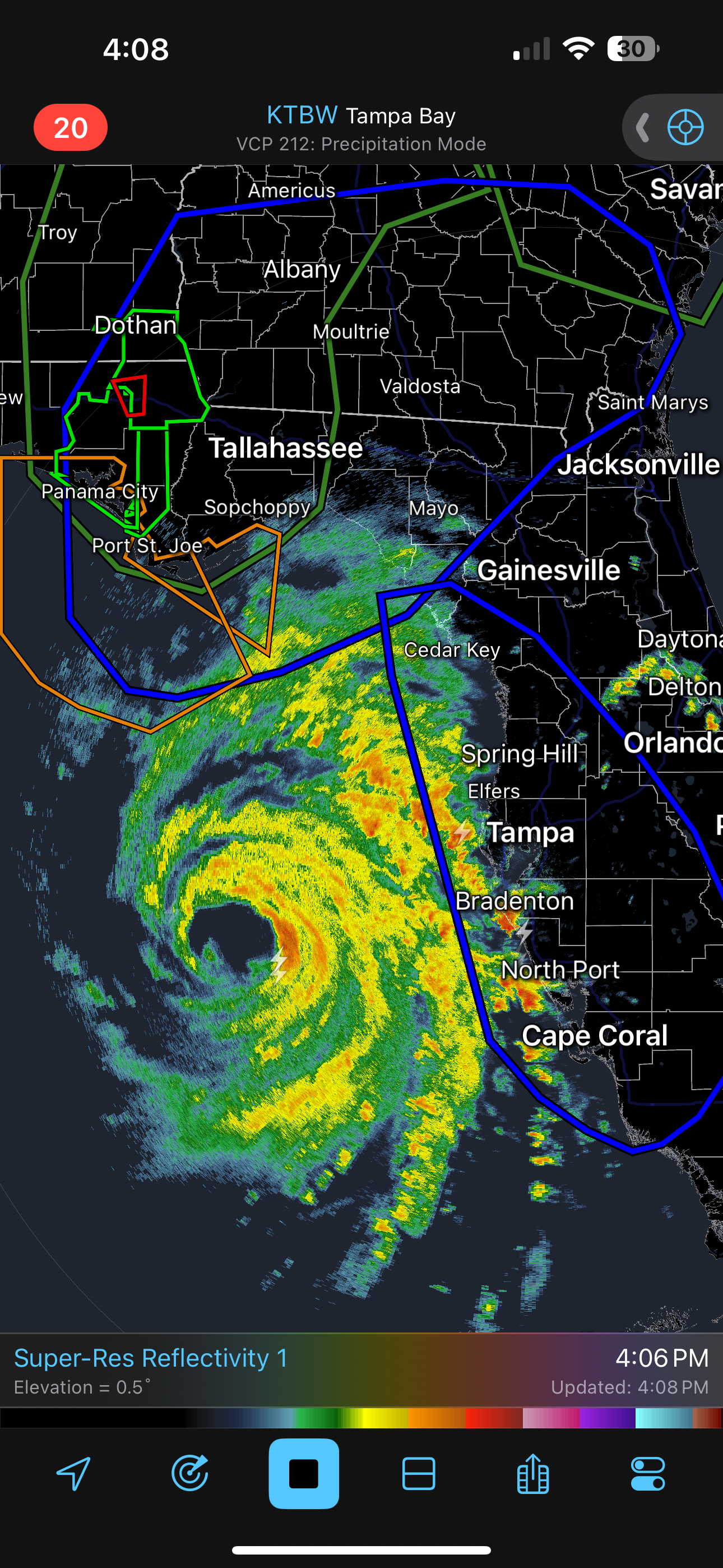
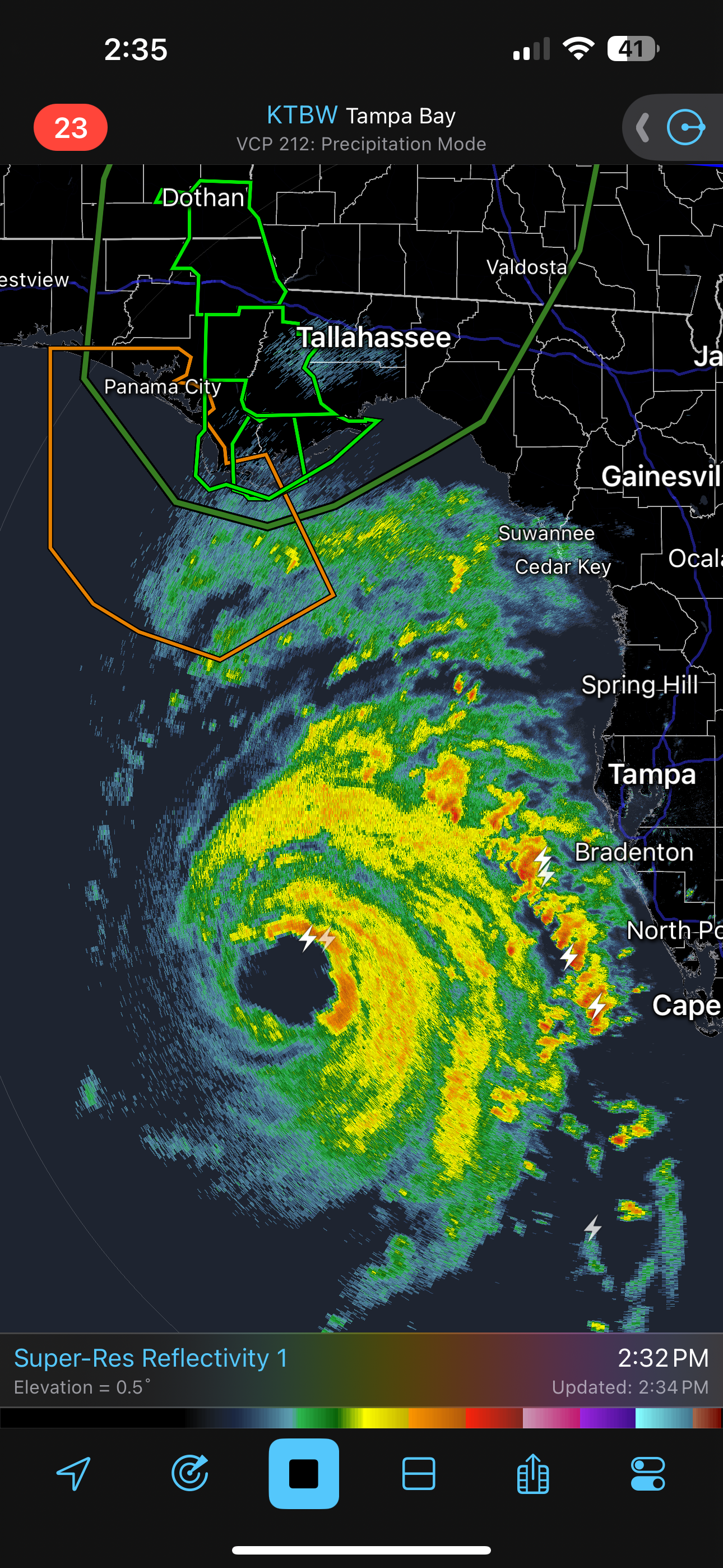
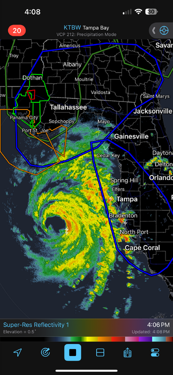
Getting that classic look on radar. Banding is incredibly impressive