
Torchageddon
-
Posts
1,314 -
Joined
-
Last visited
Content Type
Profiles
Blogs
Forums
American Weather
Media Demo
Store
Gallery
Posts posted by Torchageddon
-
-
5 minutes ago, BYG Jacob said:
Holy shit
Nightmare fuel! The shot with the foreground is one for the history files
-
From 30 minutes ago:
QuoteTornado Warning IAC085-155-NEC055-155-177-262130- /O.NEW.KOAX.TO.W.0022.240426T2041Z-240426T2130Z/ BULLETIN - EAS ACTIVATION REQUESTED Tornado Warning National Weather Service Omaha/Valley Nebraska 341 PM CDT Fri Apr 26 2024 ...TORNADO EMERGENCY FOR WEST ELKHORN NEBRASKA... The National Weather Service in Omaha has issued a * Tornado Warning for... Northwestern Pottawattamie County in southwestern Iowa... Southwestern Harrison County in southwestern Iowa... Eastern Washington County in east central Nebraska... Douglas County in east central Nebraska... East central Saunders County in east central Nebraska... * Until 430 PM CDT. * At 340 PM CDT, a confirmed large and destructive tornado was observed over Elkhorn, moving northeast at 45 mph. TORNADO EMERGENCY for West Elkhorn, Nebraska. This is a PARTICULARLY DANGEROUS SITUATION. TAKE COVER NOW! HAZARD...Deadly tornado. SOURCE...Radar confirmed tornado. IMPACT...You are in a life-threatening situation. Flying debris may be deadly to those caught without shelter. Mobile homes will be destroyed. Considerable damage to homes, businesses, and vehicles is likely and complete destruction is possible. * The tornado will be near... Northwestern Omaha, Bennington, Flanagan Lake, and Standing Bear Lake around 345 PM CDT. Fort Calhoun around 355 PM CDT. Other locations in the path of this tornadic thunderstorm include Missouri Valley. PRECAUTIONARY/PREPAREDNESS ACTIONS... To repeat, a large, extremely dangerous and potentially deadly tornado is on the ground. To protect your life, TAKE COVER NOW! Move to an interior room on the lowest floor of a sturdy building. Avoid windows. If in a mobile home, a vehicle or outdoors, move to the closest substantial shelter and protect yourself from flying debris. && LAT...LON 4119 9621 4119 9627 4129 9646 4140 9637 4140 9633 4143 9633 4144 9634 4168 9614 4170 9611 4170 9608 4172 9608 4150 9572 TIME...MOT...LOC 2040Z 218DEG 37KT 4128 9624 TORNADO...OBSERVED TORNADO DAMAGE THREAT...CATASTROPHIC MAX HAIL SIZE...2.00 IN $$ McCoy -
Caught the twister on Brett's stream few moments ago, was in a field now looking at large power line damage and trees shredded.
-
Also this:
QuoteNEC003-011-119-262115- /O.CON.KOAX.TO.W.0021.000000T0000Z-240426T2115Z/ Madison NE-Antelope NE-Boone NE- 338 PM CDT Fri Apr 26 2024 ...A TORNADO WARNING REMAINS IN EFFECT UNTIL 415 PM CDT FOR SOUTHWESTERN MADISON...SOUTHEASTERN ANTELOPE AND NORTHEASTERN BOONE COUNTIES... At 338 PM CDT, a confirmed large and extremely dangerous tornado was located 3 miles east of Albion, moving north at 20 mph. This is a PARTICULARLY DANGEROUS SITUATION. TAKE COVER NOW! HAZARD...Damaging tornado. SOURCE...Law enforcement confirmed tornado. IMPACT...You are in a life-threatening situation. Flying debris may be deadly to those caught without shelter. Mobile homes will be destroyed. Considerable damage to homes, businesses, and vehicles is likely and complete destruction is possible. This tornadic thunderstorm will remain over mainly rural areas of southwestern Madison, southeastern Antelope and northeastern Boone Counties. -
11 hours ago, frostfern said:
The hail, well that definitely over-performed. The sun wasn’t even out most of the day so I wasn’t even expecting to hear thunder. It’s impressive to get severe hail with dewpoints in the 40s. It’s more common at high altitudes, like Colorado.
I was in thick clouds all day until just before dark when the sun poked through for 30 mins, then I got a regular t-storm with the smallest sized hail briefly by 9pm. This is the 3rd hailer in 2 weeks; wasn't expecting any last night. Quality thunder but only 15 strikes detected.
-
I'm not in the MRGL contour but t-storms are expected later tonight here from TWN hourlies. Temp will be around 8C windchill of 4. Its evokes last April when I had that potent early morning sub-severe storms with the same temps.
Two weeks ago today (Apr 9) I had multiple rounds of storms with a supercell that just clipped me - I had 5 mins of large pea to dime-sized hail with 90 strikes in an very short period of time. The skies were amazing all til sunset as another storm brought some more brief hail around 6:30pm; I can't call forth any memory of this happening since living here in Hanover. Will be among the best active days of 2024, just 24 hours after the total solar eclipse!
-
I got down to -2.5C/28F this morning, blue skies at least. Thankfully no wind which made it okay unlike the past 4 days of horrible chilly winds! Late last week it would be raining and dark overcast in the mornings and then clear up by mid afternoon seemingly 3 days in a row. First part of April was good but starting early last week wx has been terrible.
-
 1
1
-
 1
1
-
-
Locally and in Waterloo/Windsor just had their earliest 20C reading in recorded history! Got to 22C in Windsor. I didn't think I'd see Mar 8, 2000 beat for decades even with the warming climate since there is no correlation to first 20C reading on that. It appears to be sunny too, insane!!

-
After nothing earlier in the day, I started getting heavy snow at 7pm - within 40 mins I had 2-4 inches caking up everything good. Memorable!
-
2
-
-
Summer is also back imby, twn showing 20C!
Thurs' low is supposedly going to be 16C, that's fun
-
Had the first frost of the season which is insanely late; I don't know if this is the latest I've ever seen but top 2 for certain. Somehow up til now we never went below 2C but overnight it was -1C maybe a tad cooler. My forecast busted too low showing -4C with windchill at -8!!
 There wasn't even any wind when I went out there lol. The largest shift in my climate is how late the frosts on avg are getting.
-
Neat fall day, the winds were coming from the NE so I got all these low clouds coming from Georgian Bay, extreme wind shear was visibly apparent.
-
1
-
-
Just about every possible conceivable parameter to make today a rotten one was in place: very windy, rainy, dark, cold at 6C feeling like 3 after the near hot temps we had 5 days ago. Its a classic near the lakes getting this lake effect rain in Oct. 53 mm/2" since the start 4 days ago.
-
1
-
1
-
-
My low was 18C, that is insanity for Oct 5! Higher than my avg low in the middle of summer. Had a line of storms in the aft with some thunder, the rank trash has arrived

-
This last stretch of Sep has been magnificent, 8 days at least of great weather, one day where it was mainly cloudy but no rain. Looking back at my typically awful 7 day for accuracy, it did very well correctly predicting most of this week within a few degrees. Remarkably stable pattern my highs and lows (around 9C-10C every day) are the same in a transitional period with this climo. One of the best last 3rd of Sep ever.
-
 1
1
-
-
This has been an impressive streak of great wx for Sep standards, mainly sunny for 6-7 days straight and pleasant temps. Its now been a full year since the blocking patterns started giving long streaks of crap or fantastic conditions. We had a wretched 6 days of overcast I think in late Aug, now the inverse but I'm fortunate that the cloud shield of Ophelia remained east in Niagara/Toronto this weekend. I liked this Sep better than Aug.
-
2
-
1
-
-
It was torrid at 1030am when I went out, but then in the early aft it was actually nice (sun still out). There was a increase in winds I guess. Storms just 45 mins away to my SW.
-
I was still at 24C at 12:30 am with a humidex of 32! Did not expect these kind of numbers this late, probably one of the most humid Sep nights recorded. Driving after dark I saw a massive opossum on a rural road right in the center.
-
1
-
-
9am obs had 100% RH, 21C/20C. Hourlies have me at peak temp by 11am nearly 31C/ Humidex 41.
-
Amazing day, a relief after the drab last 3 or more weeks. I was out quite a bit and realized how I missed this gorgeous stuff - Comfy and sunny right from the start! When I woke up I felt so much better than usual and motivated. Not coincidentally, the last time I felt this peak was around the first week of July which *drumroll* was the last time we hit 30C/86F!!
 The correlation has no cracks.
TWN still has me at 30C/ Humidex 37 which is uncommonly higher than my station showing 29C. Ideal day to be out from dawn to dusk.
-
1
-
-
9 hours ago, mhou said:
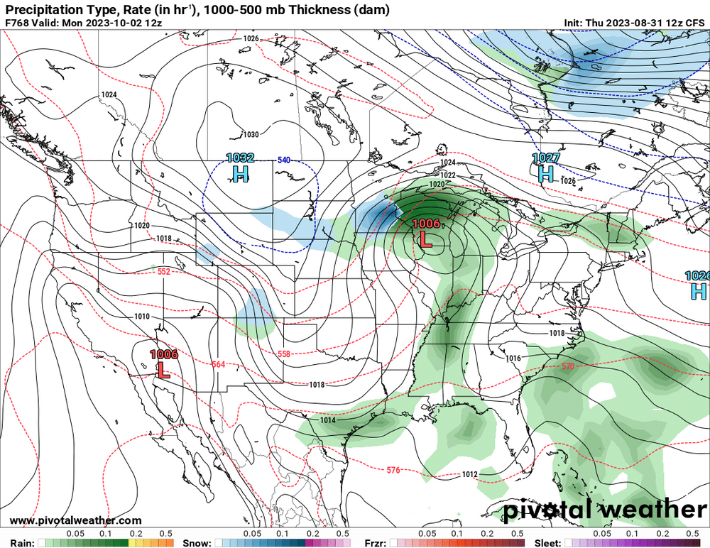
Just a little teaser from the lovely CFS model lol
I was getting worried for a sec until I saw the "F768" lol.
I'm sitting at 13C still and hourlies show 21C by 11am, being reduced a tad. Skies mellowed out by some smoke
-
 1
1
-
-
Very rare blue skies day, no clouds at all anywhere in SON. Maybe haven't had this since first half of July. Soaking it in.
-
1
-
1
-
-
I'm down to 6.8C/44F this morning, by far the coldest of the summer. Clear blue skies.
-
1
-
-
Today was the 4th day of overcast crap that I've been dreading to see make itself again. TWN forecast completely flopped showing partly cloudy, early this morning it was dark with thicc canopy. Got this blast of rain coming from the north at noon that also sucked. The last 4 days my forecast was completely wrong and its been awful. The sun came out at 5pm today so got something.
-
3
-
Severe Weather 4-25 through 4-28-24
in Central/Western States
Posted
Amazing, so many views! This is the Lincoln one from hours ago. 1:33 gets zesty!!