SouthCoastMA
-
Posts
8,545 -
Joined
-
Last visited
Content Type
Profiles
Blogs
Forums
American Weather
Media Demo
Store
Gallery
Everything posted by SouthCoastMA
-
.6" on the deck, slightly more on grass. and nothing on the roads or driveways. Not one snowfall this year has resulted in anything more than wet roads.
-
If we get by .5", it will be the 2nd biggest snow of the season
-
.25" on the deck
-
Hoping for a final ode to the 80s in the next few weeks with a Feb 87 redux mixed in. The board would sure be entertaining
-
Mesos have some light snow tomorrow morning and again Wednesday morning. maybe we get an inch out of that. Then possibly some OES on the outer cape Saturday.
-
It's the equivalent of late July in that regard. I don't think Kevin has been in a darker place
-
maybe head out to Truro on Saturday and you can catch a 1-2" OES band
-
ICON: "Du Hasst Mich"
-
Feb 3-5th is the window to watch in my view.
-
had a slushy coating on the cartops when I left the hockey rink in Bourne.
-
 1/2" on the deck
 -
solid coating on grass and car tops. Wasn't expecting any accumulation, so lets see if we can reach an inch.
-
It's actually sticking a bit to the grass..which is a win and unexpected.
-
Mixing with flakes. Pulling for a coating before it ends later.
-
SSTs cost me 10" inches last weekend. Despite the marginal airmass, I think the warmer SSTs were a big hinderance
-
Maybe the vision is that he's Dennis Quaid from Day After Tomorrow, and we are collectively this guy:
-
I made the mistake of going to the one in Fitchburg when I was in Ashburnham for a weekend. oof
-
I could be misremembering or just making shit up, but didn't it seem like cutters in the 90s always started off with flakes a lot of time or like 30 minutes of wet snow before flipping. I feel like it's rarely the case now. This isn't even a cutter and it's starting off as straight rain here, though I understand why. It's likely just some anecdotal memory I have that might not hold any weight.
-
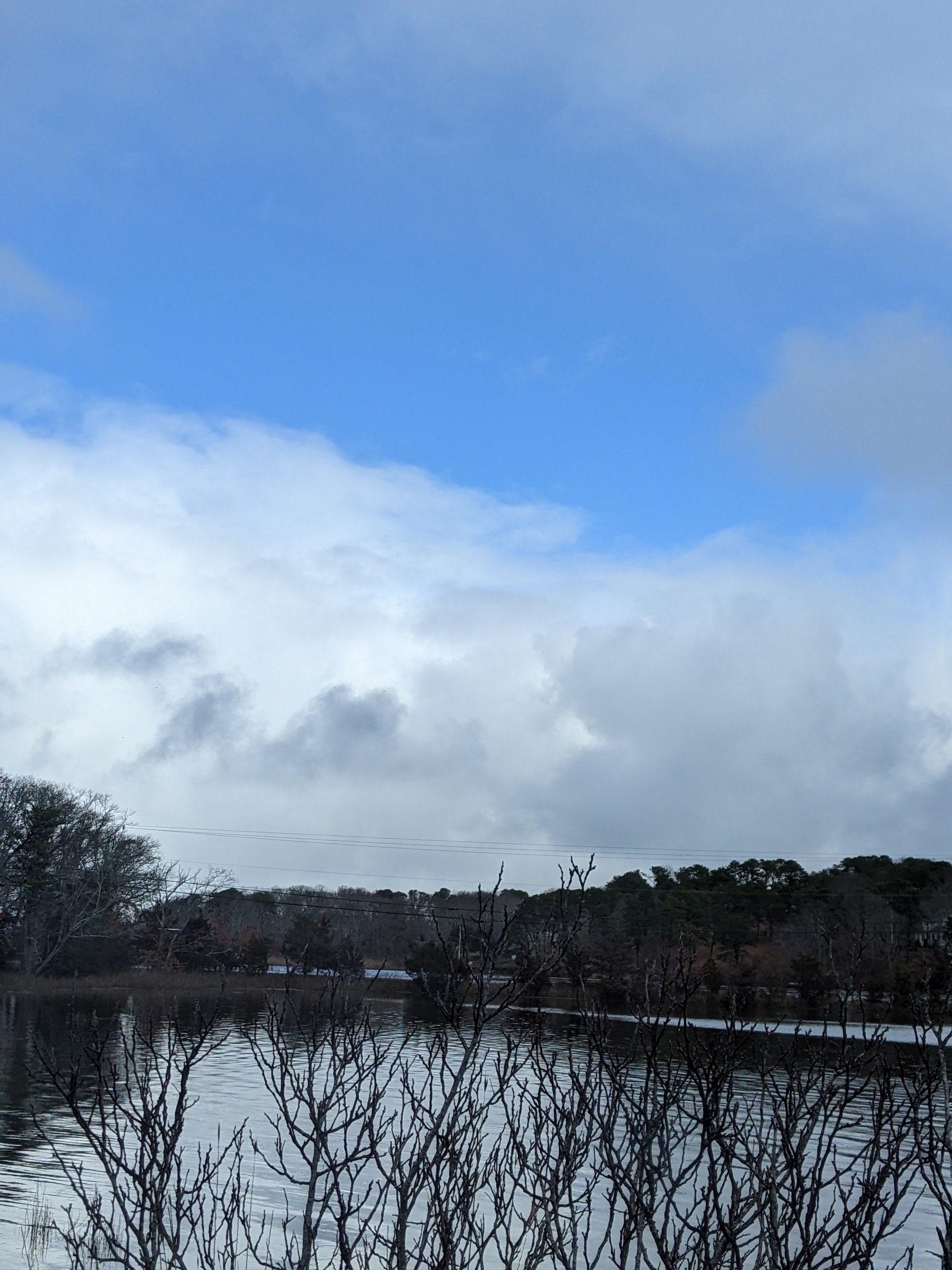
Low visibility snow showers occurring between patches of blue sky in E Sandwich. kinda cool despite not accumulating..but that's par for the course this year.

-
Peaking through the shuttered blinds at a snow shower right now. could be the last flakes for a while here. C/NNE looks like a good spot to be though
-
Remember the last snowstorm that lasted 30 hours and 90% of it melted on contact?
-
Radar depiction has shown snow over my area for the past two hours, but yet it's still raining. You got me again Winter of 22/23!
-
-
George already cancelled this winter and next - he gon I personally closed the shades til late month, and this would be a nice storm to open them with.
-
I guess it's more 1/26. Nice ridge in the west, and hints of buildilng blocking (maybe transient) in NAO region