sakau2007
-
Posts
153 -
Joined
-
Last visited
Content Type
Profiles
Blogs
Forums
American Weather
Media Demo
Store
Gallery
Everything posted by sakau2007
-
F here in central Alabama.
-
January 30th- Feb 1st ULL and coastal storm obs
sakau2007 replied to JoshM's topic in Southeastern States
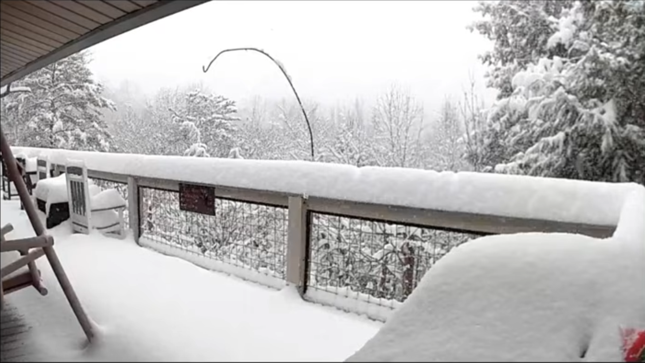
looks like somebody in eastern NC is gonna wind up with 30 inches. i saw a report from a few hours ago of 21.5” in New Bern, and it is still snowing there and will for a few more hours. crazy storm east of 95. -
central NC people need to relax! the returns will continue to expand and rotate southeastward and the low is strengthening. simulated radar in a few hours attached.
-
January 30th- Feb 1st ULL and coastal storm obs
sakau2007 replied to JoshM's topic in Southeastern States
Gatlinburg, TN Storm definitely did not underperform in the smokeys and far western NC.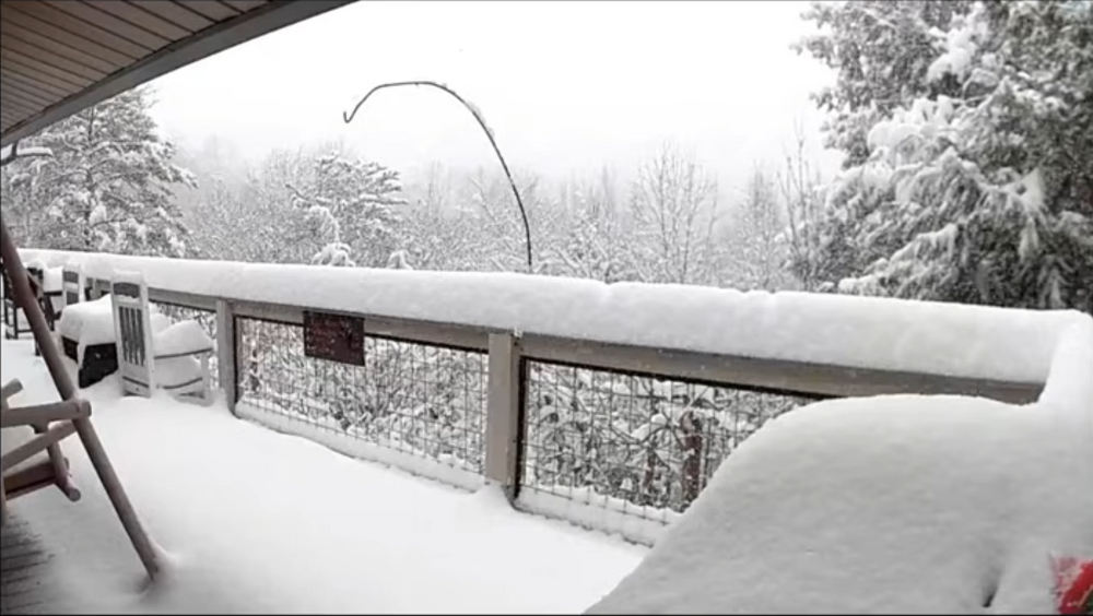
-
January 30th- Feb 1st ULL and coastal storm obs
sakau2007 replied to JoshM's topic in Southeastern States
well, that isn't gonna work out too well. -
returns are expanding in NE GA and upstate SC and rotating southeastward. relax. it will be snowing in Rock Hill all day.
-
hang in there. the event is just starting across NC. all those echoes across TN/W NC and upstate SC will eventually be pulling east. Not saying Raleigh is gonna get a foot, but ya'll are still looking good for at least 2-3 inches.
-
January 30th- Feb 1st ULL and coastal storm obs
sakau2007 replied to JoshM's topic in Southeastern States
near Rising Fawn, GA about a mile from the AL/GA state line. Pretty good snow shower over this area for several hours.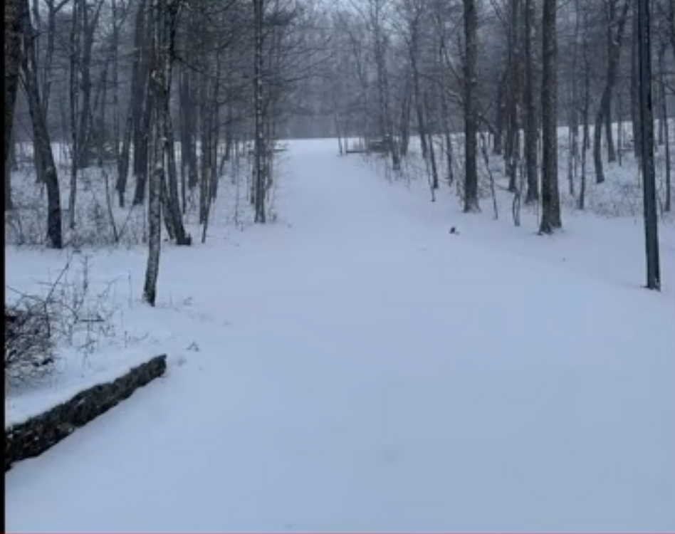
-
January 30th- Feb 1st ULL and coastal storm obs
sakau2007 replied to JoshM's topic in Southeastern States
Henegar in Dekalb County, AL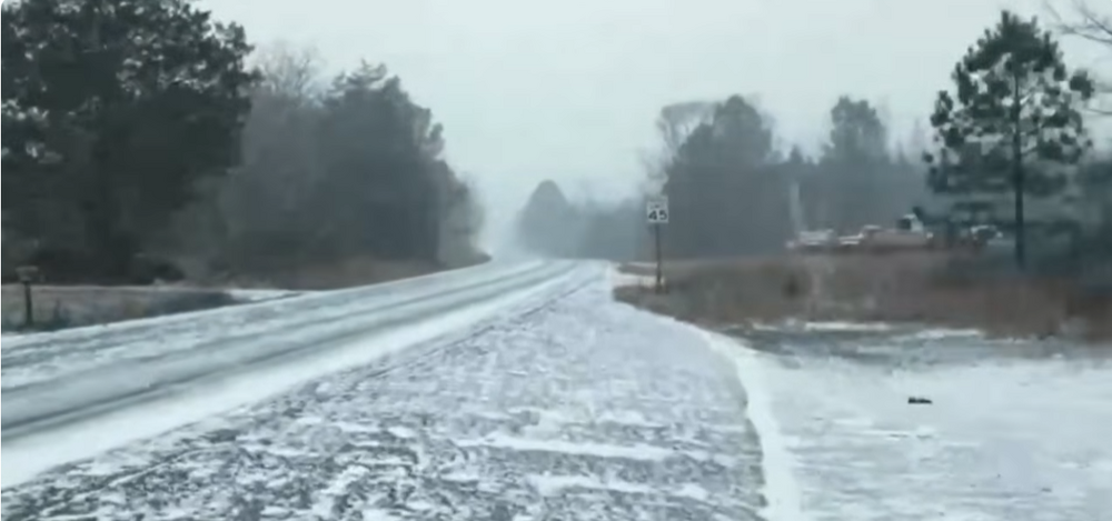
-
January 30th- Feb 1st ULL and coastal storm obs
sakau2007 replied to JoshM's topic in Southeastern States
yeah, it's early. -
January 30th- Feb 1st ULL and coastal storm obs
sakau2007 replied to JoshM's topic in Southeastern States
a few flurries at my house 10 miles SE of Birmingham... but the wind is so blustery and the flakes so small they aren't even staying on car tops. -
January 30th- Feb 1st ULL and coastal storm obs
sakau2007 replied to JoshM's topic in Southeastern States
snow still relatively light at Mountain City, TN, but it is beginning to accumulate with a temp of 28 https://www.resortcams.com/webcams/mountain-city/ -
January 30th- Feb 1st ULL and coastal storm obs
sakau2007 replied to JoshM's topic in Southeastern States
snow is still coming down pretty good in Johnson City, TN, but with temps sitting at 31... it looks like roads are mostly still just wet. i presume that will change as we lose sunlight. -
The “I bring the mojo” Jan 30-Feb 1 potential winter storm
sakau2007 replied to lilj4425's topic in Southeastern States
can you update your location? i'm not familiar with grand rapids, georgia? -
January 30th- Feb 1st ULL and coastal storm obs
sakau2007 replied to JoshM's topic in Southeastern States
light to moderate snow falling in Johnson City, TN https://www.resortcams.com/webcams/johnson-city/ -
January 30th- Feb 1st ULL and coastal storm obs
sakau2007 replied to JoshM's topic in Southeastern States
Pikeville, KY is currently at 22 degrees with snow falling: https://www.pmcky.org/weathercam/ Doesn't appear to be accumulating on the roads yet as of this post, but I am guessing it will within the hour if snow continues. -
The “I bring the mojo” Jan 30-Feb 1 potential winter storm
sakau2007 replied to lilj4425's topic in Southeastern States
i'm still (foolishly) holding out hope enough flakes fall to whiten the ground in spots at my house. -
The “I bring the mojo” Jan 30-Feb 1 potential winter storm
sakau2007 replied to lilj4425's topic in Southeastern States
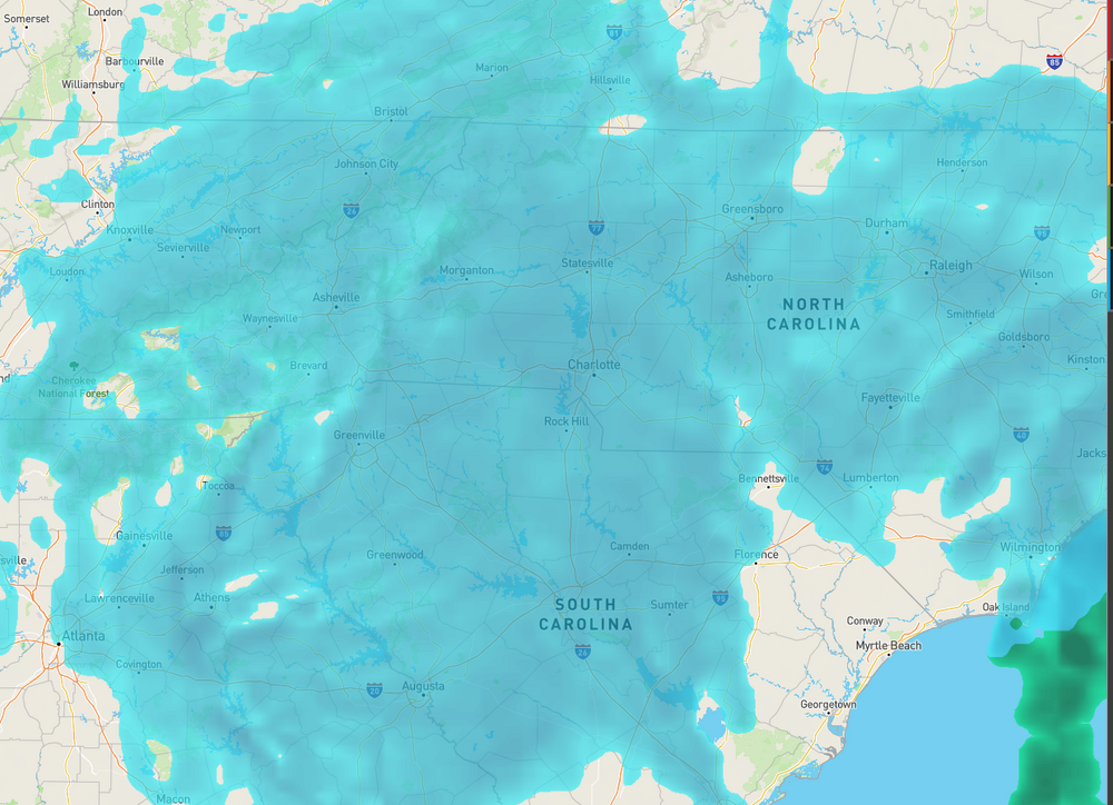
i am surprised the NWS thinks there is a 90% chance of at least 5" across that much of the state, and 4"+ east of I-95 basically to the coast. -
The “I bring the mojo” Jan 30-Feb 1 potential winter storm
sakau2007 replied to lilj4425's topic in Southeastern States
yes. NE ATL should do better than NW ATL from this storm... although anything is possible a heavier snow shower could set up over cobb county and dump an extra 1-2 inches and miss places like lawrenceville and buford. but if you had to bet, you'd have to bet on the 85 corridor getting more than the 75 corridor north of town. -
The “I bring the mojo” Jan 30-Feb 1 potential winter storm
sakau2007 replied to lilj4425's topic in Southeastern States
i know you are only being half serious, but i'd be leary of assuming the trends that "always" happen will happen again. last year i was pretty pumped to see the 10"+ totals models were spitting out in new orleans, mobile, the florida panhandle and south georgia. i "knew" that the models would trend north and might get me close to the bullseye. i wound up with zero snow while the gulf coast got dumped on as the models called for many days. -
The “I bring the mojo” Jan 30-Feb 1 potential winter storm
sakau2007 replied to lilj4425's topic in Southeastern States
3" of snow in my backyard would rank in the top 5 of events over the last 30 years. hard for me to take people seriously when they claim raleigh gets a snow shield if they have that kinda attitude! -
The “I bring the mojo” Jan 30-Feb 1 potential winter storm
sakau2007 replied to lilj4425's topic in Southeastern States
i'm pretty bummed to have 2 weeks+ of below, and in some cases way below average temps and still likely come away with zero snow... or damn close to zero. -
Southern Crippler - Get well soon Jimbo Storm Obs
sakau2007 replied to BooneWX's topic in Southeastern States
.28 ZR and .28 inches of ice accumulation are very different. if .28 inches of liquid precip fell while the temperature was at or below 32, that's .28" of ZR. -
Southern Crippler - Get well soon Jimbo Storm Obs
sakau2007 replied to BooneWX's topic in Southeastern States
yeah, it varies, but 3:1 is a decent average. -
Southern Crippler - Get well soon Jimbo Storm Obs
sakau2007 replied to BooneWX's topic in Southeastern States
i really don't understand everyone is calling this a bust and a missed forecast. are you guys crazy? the models did an incredible job in mississippi, tennessee, and alabama nailing temp profiles and they seem to be doing the same in georgia... with near perfect placement and strength of the wedge. atlanta has been on the border of an ice storm for 4+ days and that's exactly how it is playing out. about the only thing is some of the models overdid the Frz Rn and underdid the sleet... at least on the first batch of precip that came through most of the mid south as sleet. However, the second big batch *has* been a lot of freezing rain, as forecasted. lol at people in NC throwing in the towel and calling it a bust before 75% of the precip arrives.