Go Kart Mozart
-
Posts
3,120 -
Joined
-
Last visited
Content Type
Profiles
Blogs
Forums
American Weather
Media Demo
Store
Gallery
Everything posted by Go Kart Mozart
-
Oh please storm, blow your load on me!
-
Wow, quite the cluster near the Jersey shore.
-
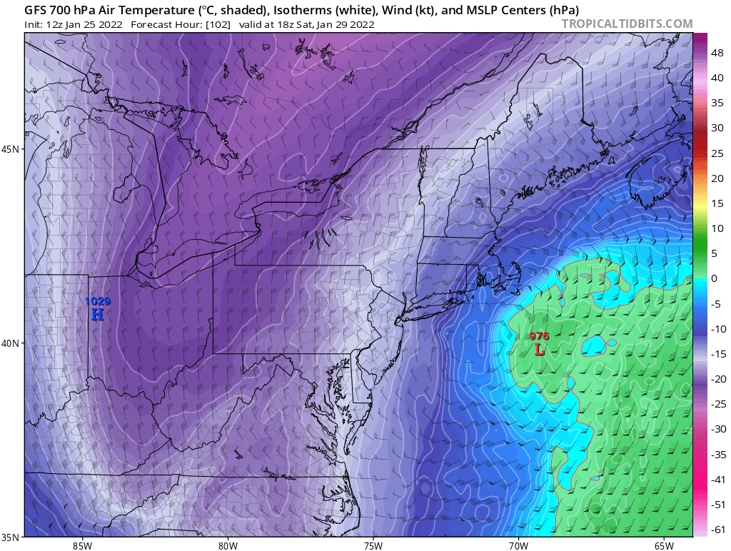
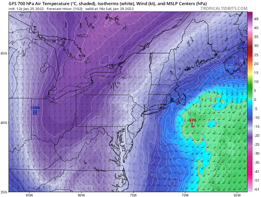
The DGEX would show 922mb in few more frames, lol
-
I can't read all these posts what with work getting in the way...but has anyone mentioned the NAM looking great?
-
No, but February 1898 tracked from Palm Beach to Eastport. That one followed a crazy baroclinic boundary, with all-time cold to the west.
-
I think too much is made of the wind=sand concept. I can remember excellent snow growth during March 1993, and the Cleveland Super Bomb.
-
Someone show us the members...ensemble that is.
-
Your house about 5", sharp cut off on Norwood, then 24" for me. Seriously, looks great, 20" is in play.
-
Eastern Fairfield County, you can bet on that.
-
If you look closely, does this imply a frontogen band near the NY CT border?
-
As much as I would love 962 just south of Montauk, I have to think it is a dubious solution. Euro is the only global kicking the SW energy out kit and caboodle. With big storms like this, there is often a weenie band much further north and west than forecasted...that might be the hope for WOTR.
-
We need a pinned thread with an acronym guide. I was just about to ask the same question about LBSW.
-
ICON not looking great either so far. WE may have a problem here,
-
Thanks....I wouldn't have known if I didn't see your post, and I live 150 yards from you. Enjoy it, it might be the best we have until February.
-
Of course I had to look it up: WHO USES THIS Older: Jews who are middle-aged and older
-
I was thinking the same thing...if this is the old Euro bias and that SW energy comes around the horn more quickly....this becomes a dangerous animal. Sandy with tons of snow.
-
I feel like Michael Spinks about to step into the ring with Tyson. Butterflies, nerves, fear! I will have poor sleep all week, with dreams of things going wrong.
-
The "uncertainty spread" is to the west of the mean. So for the WOTR-ites, let's have Euro strength with GFS track....while avoiding a Boxing Day repeat. Even if the track is further east, I think we could be OK WOTR. Canadian depicts a nice weenie band well left of center.
-
Are land falling F1 snownadoes a possibility with that depiction?
-
Not every model can be the NAVGEM
-
Just a wee tad sticky in the south west.