sebastiaan1973
-
Posts
58 -
Joined
-
Last visited
About sebastiaan1973

Recent Profile Visitors
1,302 profile views


-
http://AO PV Blog Summary The Arctic Oscillation (AO) is currently negative to near neutral and is predicted to oscillate around neutral and possibly go negative again the next two weeks as pressure/geopotential height anomalies across the Arctic are currently mostly mixed and are predicted to remain mostly mixed to mostly positive the next two weeks. The North Atlantic Oscillation (NAO) is currently negative as positive pressure/geopotential height anomalies dominate across Greenland, and the NAO is predicted to oscillate around neutral the next two weeks as pressure/geopotential height anomalies are predicted to mostly mixed to positive across Greenland. The next two weeks, weak ridging/positive geopotential height anomalies across Greenland will support transient troughing/negative geopotential height anomalies downstream across much of Europe. The progressive flow pattern will support normal to above normal temperatures across Europe including the United Kingdom (UK) with a brief flip to normal to below normal temperatures first across much of Europe including the UK next week. Ridging/positive geopotential height anomalies are predicted to dominate Asia with the exception of troughing/negative geopotential height anomalies across Eastern Asia the next two weeks. This pattern favors normal to above normal temperatures across most of Asia with the exception of normal to below normal temperatures regionally across Eastern Asia the next two weeks. The general predicted pattern across North America the next two weeks is widespread ridging/positive geopotential height anomalies centered on Eastern Canada with troughing/negative geopotential height anomalies along the west coast of North America and the Eastern United States (US). This patten will favor widespread normal to above normal temperatures across Alaska, much of Canada and the US with the exceptions of normal to below normal temperatures in the Eastern US this week and then next week normal to below normal temperatures will sweep into the West Coasts of Canada and the US and then eventually in the Eastern US. I continue discussing my thoughts about the upcoming pattern across the Northern Hemisphere (NH) and continue with some preliminary predictors for the upcoming winter polar vortex (PV) and weather. Plain Language Summary So far for October, it is a tale of two continents, extremely mild in North America and fairly widespread cold across Eurasia, especially in Southeast Asia, Siberia and focused now in Mongolia (see Figure). It has also been chilly in Central Asia and in Europe, especially in Southeast Europe (see Figure). No joke but Mongolia has the most resilient winter weather in the Northern Hemisphere. It has been a forgettable month of October for me here in Boston but at least for me the cold is where it should be in October. And the forecast can be summarized as mild weather reigns supreme (see Figures 3, 6 and 9). Longer term Greenland blocking could become established in early November that could finally bring cooler weather to North America and re-establish some colder weather across northern Eurasia. I am also closely watching the snow cover advance across Siberia this month, a rapid advance suggests a more severe winter and a slower advance a milder winter.
-
Mysterious 'warm blob' breaks records in the North Pacific Ocean https://www.bbc.com/news/articles/ce3xynwwx4yo
-
Latest EC, good for parts of the USA and Europe. Negative NAO. Jan-Feb-Ma

-
It reminds World Climate Service of the winter of 1878 The Year Without a Winter: 1877-78 | Minnesota DNR (state.mn.us)
-
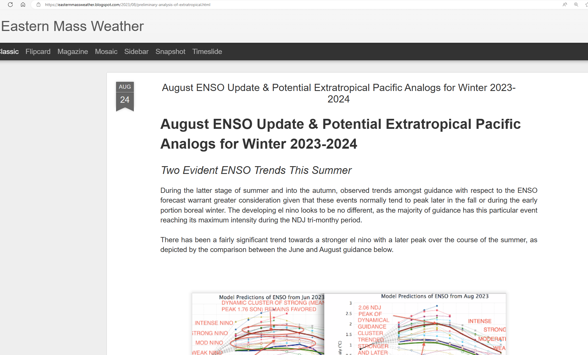
https://www.severe-weather.eu/long-range-2/winter-2023-2024-forecast-polar-vortex-el-nino-qbo-strong-impact-cold-weather-united-states-canada-europe-fa/
-
http://www.bom.gov.au/climate/iod/
-
El Nino and the positive IOD which last one can lead to positive NAO.
-
Glosea6.
-
Thanks Ray, this solves the problem. I asked this, not just for me, but I share the link for the weather freaks on the other side of the Atlantic Fortunately Ray does understand.
-
By double clicking at the date (which is at 12th of august) I get the latest of your thoughts of 24th of August. And now it fits. So there is a problem with the website. Which I wanted to make clear. Being not native English-speaker, it was more difficult than I thought to do. Edit. After trying again, it remains wrong. Another way to get the right article, is to go to 'Blog archive' on the right side. Than you get the latest!
-
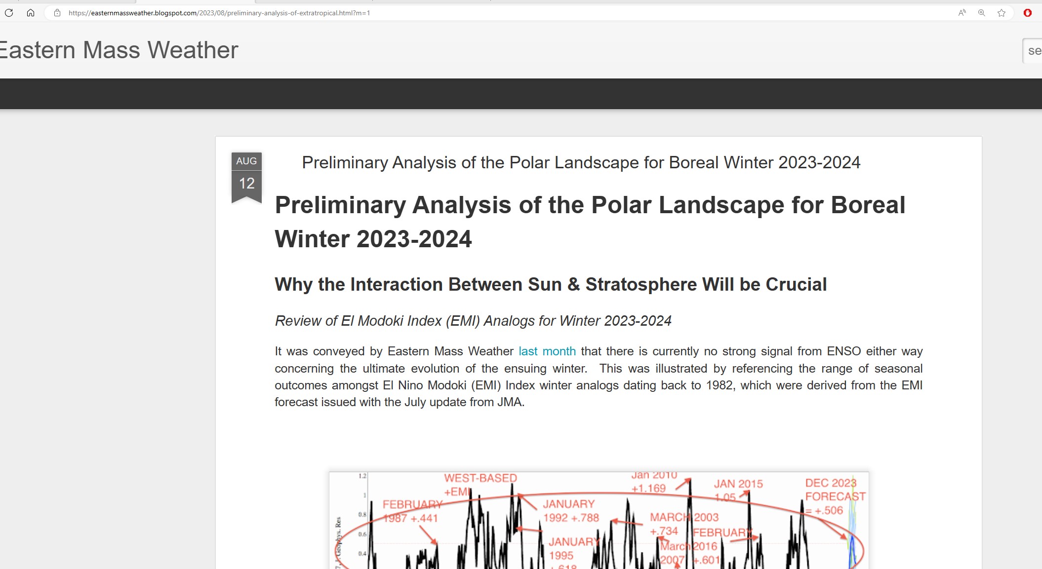
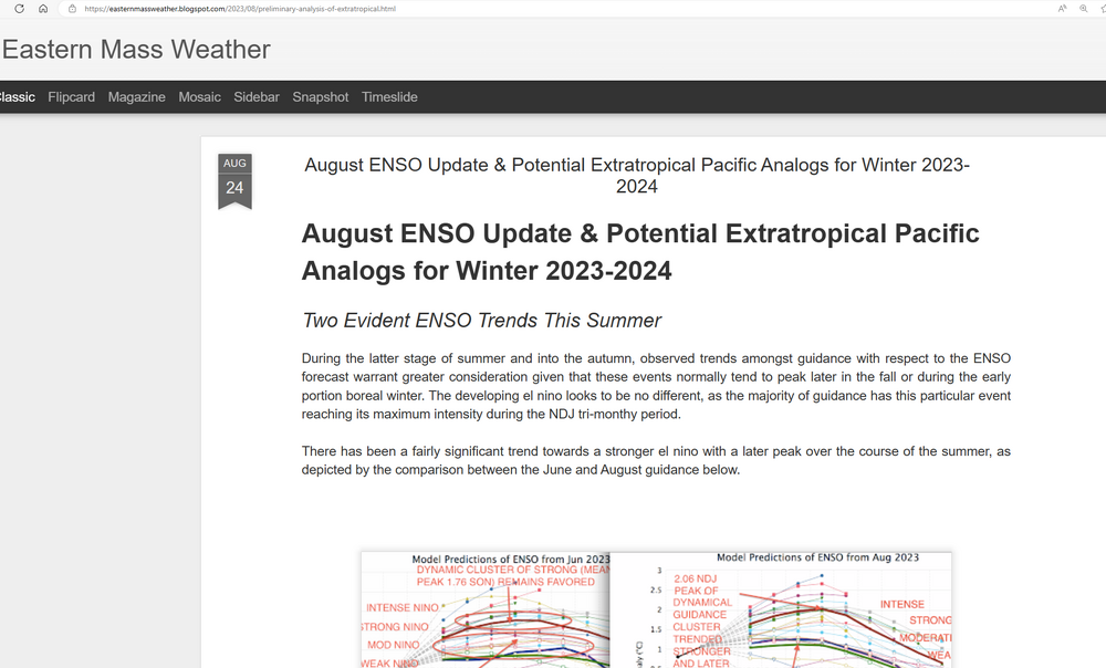
Preliminary Analysis of the Polar Landscape for Boreal Winter 2023-2024 https://easternmassweather.blogspot.com/2023/08/preliminary-analysis-of-extratropical.html?m=1 Perhaps, now people do understand. First you see Polar landscape, the second is extratropical which contains much more than polar. So the description of the link and what you get is not the same.
-
The link says preliminary analysis of extra tropical, I get don't get this but instead polar vortex analysis. So, the title says A, but I get to see B.
-
What I mean is this. Please the read the link.

-
Thanks a lot, seems to me, there is something wrong, because when I click on the link, the website shows your article of 12th of august about the polar vortex.
-
Global long-range model probability maps - Met Office