
2001kx
-
Posts
2,260 -
Joined
-
Last visited
Content Type
Profiles
Blogs
Forums
American Weather
Media Demo
Store
Gallery
Everything posted by 2001kx
-

Central PA - Jan/Feb 2019 Obs and Discussion
2001kx replied to MAG5035's topic in Upstate New York/Pennsylvania
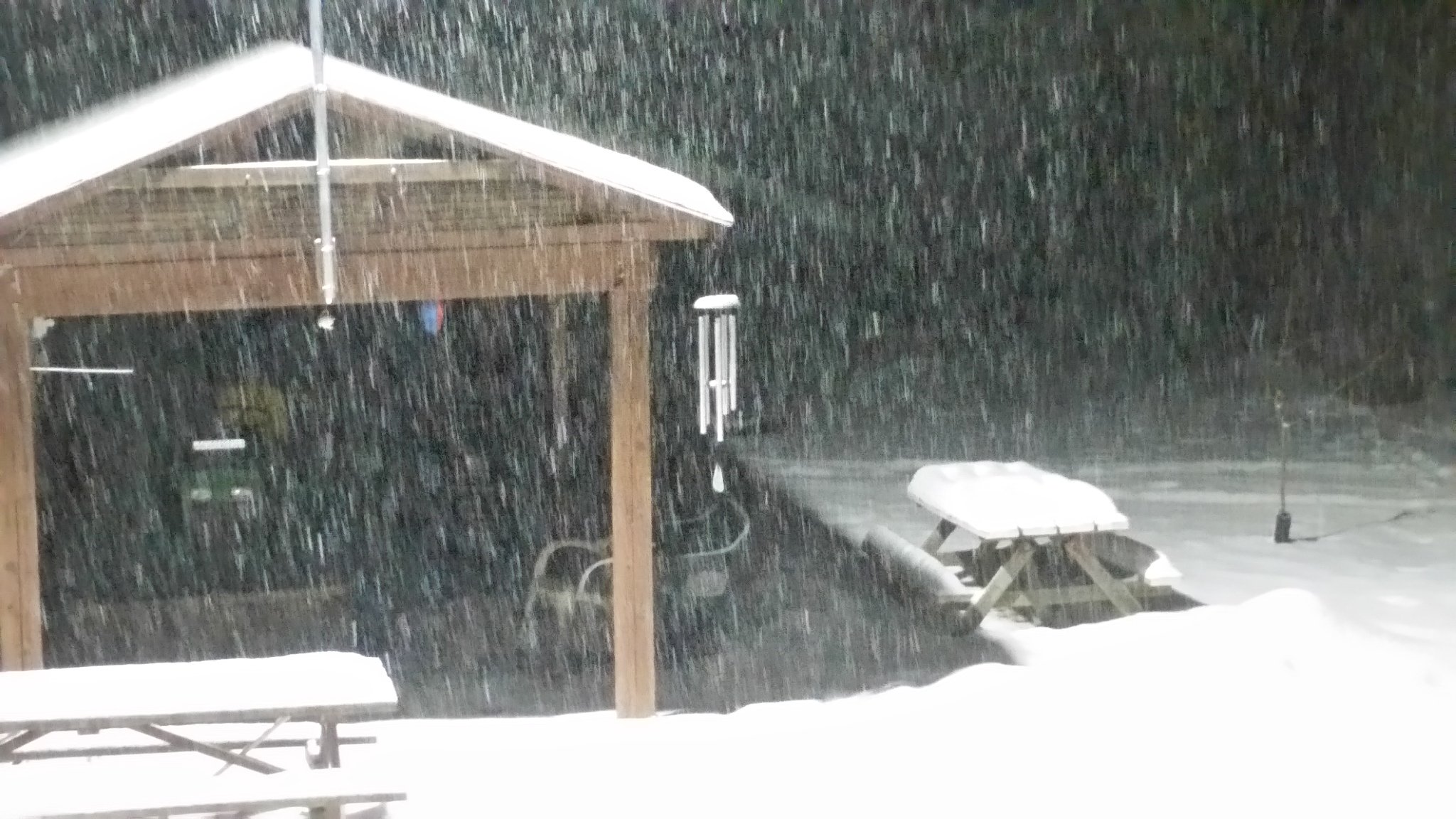
Still cranking here..would guess around 2"
-
Central PA - Jan/Feb 2019 Obs and Discussion
2001kx replied to MAG5035's topic in Upstate New York/Pennsylvania
Seems To Be The Theme The Last Couple storms.. -
Central PA - Jan/Feb 2019 Obs and Discussion
2001kx replied to MAG5035's topic in Upstate New York/Pennsylvania
Coming down pretty good now. -
Central PA - Jan/Feb 2019 Obs and Discussion
2001kx replied to MAG5035's topic in Upstate New York/Pennsylvania
around a 1/2" here -
Central PA - Jan/Feb 2019 Obs and Discussion
2001kx replied to MAG5035's topic in Upstate New York/Pennsylvania
Goodluck to our eastern members.. -
Central PA - Jan/Feb 2019 Obs and Discussion
2001kx replied to MAG5035's topic in Upstate New York/Pennsylvania
8" over 16 days is not that impressive to me....but don't get me wrong..I would take it. -
Central PA - Jan/Feb 2019 Obs and Discussion
2001kx replied to MAG5035's topic in Upstate New York/Pennsylvania
just shy of 4"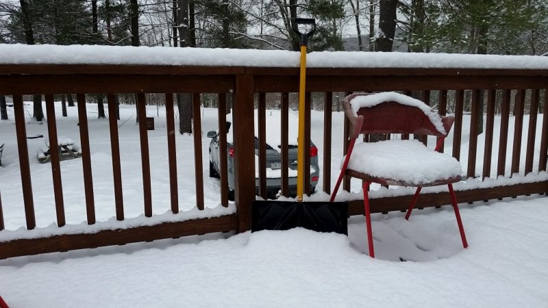
-
Central PA - Jan/Feb 2019 Obs and Discussion
2001kx replied to MAG5035's topic in Upstate New York/Pennsylvania
Picked up 4" overnight..didn't know we were supposed to get that much. -
Central PA - Jan/Feb 2019 Obs and Discussion
2001kx replied to MAG5035's topic in Upstate New York/Pennsylvania
I'm assuming things aren't looking good as it is dead in here. -
Central PA - Jan/Feb 2019 Obs and Discussion
2001kx replied to MAG5035's topic in Upstate New York/Pennsylvania
ehhh - I think im giving up. Might be time to move to Florida. -
Central PA - Jan/Feb 2019 Obs and Discussion
2001kx replied to MAG5035's topic in Upstate New York/Pennsylvania
Feels like last year...Man im getting old. -
Central PA - Jan/Feb 2019 Obs and Discussion
2001kx replied to MAG5035's topic in Upstate New York/Pennsylvania
I thought you got 18" or something big last year didnt you? -
Central PA - Jan/Feb 2019 Obs and Discussion
2001kx replied to MAG5035's topic in Upstate New York/Pennsylvania
Still waiting on my 12"+ the euro promised me over the weekend -
Central PA - Jan/Feb 2019 Obs and Discussion
2001kx replied to MAG5035's topic in Upstate New York/Pennsylvania
same here -
Central PA - Jan/Feb 2019 Obs and Discussion
2001kx replied to MAG5035's topic in Upstate New York/Pennsylvania
Balmy -
Central PA - Jan/Feb 2019 Obs and Discussion
2001kx replied to MAG5035's topic in Upstate New York/Pennsylvania
-7 here this morning.. -
✨Pittsburgh PA ❄ Winter 2018-2019
2001kx replied to north pgh's topic in Upstate New York/Pennsylvania
That would be nice! -
Central PA - Jan/Feb 2019 Obs and Discussion
2001kx replied to MAG5035's topic in Upstate New York/Pennsylvania
-2 here -
Central PA - Jan/Feb 2019 Obs and Discussion
2001kx replied to MAG5035's topic in Upstate New York/Pennsylvania
lunar eclipse happening right now if you can see it. -
✨Pittsburgh PA ❄ Winter 2018-2019
2001kx replied to north pgh's topic in Upstate New York/Pennsylvania
lunar eclipse happening right now if you can see it. -
Central PA - Jan/Feb 2019 Obs and Discussion
2001kx replied to MAG5035's topic in Upstate New York/Pennsylvania
14 here -
Central PA - Jan/Feb 2019 Obs and Discussion
2001kx replied to MAG5035's topic in Upstate New York/Pennsylvania
Would be nice if that happened. Just yesterday the NWS had me at 80%+ to get 8" -
Central PA - Jan/Feb 2019 Obs and Discussion
2001kx replied to MAG5035's topic in Upstate New York/Pennsylvania
Right around 5.5" (same as the earlier storm) I guess the hunt for a big snow storm still lives...It just doesnt happen here for some reason. -
Central PA - Jan/Feb 2019 Obs and Discussion
2001kx replied to MAG5035's topic in Upstate New York/Pennsylvania
Anyone have an accurate snow / mix line map? Curious as to where its at right now. -
Central PA - Jan/Feb 2019 Obs and Discussion
2001kx replied to MAG5035's topic in Upstate New York/Pennsylvania
Congrats State College URGENT - WINTER WEATHER MESSAGE National Weather Service State College PA 930 PM EST Sat Jan 19 2019 PAZ017>019-024>028-049>053-201200- /O.CON.KCTP.WS.W.0001.000000T0000Z-190120T1800Z/ Clearfield-Northern Centre-Southern Centre-Cambria-Blair- Huntingdon-Mifflin-Juniata-Union-Snyder-Montour-Northumberland- Columbia- Including the cities of DuBois, Clearfield, Philipsburg, State College, Johnstown, Altoona, Huntingdon, Mount Union, Lewistown, Mifflintown, Lewisburg, Selinsgrove, Danville, Sunbury, Shamokin, Bloomsburg, and Berwick 930 PM EST Sat Jan 19 2019 ...WINTER STORM WARNING REMAINS IN EFFECT UNTIL 1 PM EST SUNDAY... * WHAT...Heavy mixed precipitation. Total snow accumulations of 3 to 10 inches, with the least amounts near Johnstown and the heaviest amounts near State College. Ice accumulations will range from around a tenth of an inch in many locations, to over a quarter inch on the ridgetops near Johnstown. * WHERE...Portions of central Pennsylvania. * WHEN...Snow will change to mixed precipitation late this evening. The mixed precipitation will taper off around dawn Sunday.