

2001kx
-
Posts
2,260 -
Joined
-
Last visited
Content Type
Profiles
Blogs
Forums
American Weather
Media Demo
Store
Gallery
Everything posted by 2001kx
-
When i see your avatar i always thinks it a POV of you pissing.
-
You gonna have a snow map / numbers for the storm?
-
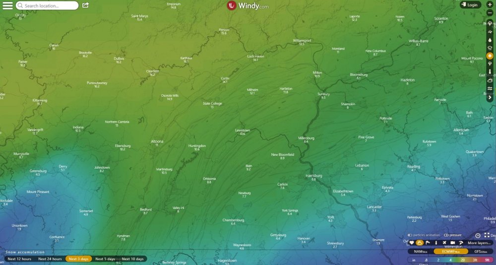
https://www.windy.com/-Show-add-more-layers/overlays?snowAccu,40.585,-77.283,9
-
Link to the map i posted https://www.windy.com/-Show-add-more-layers/overlays?snowAccu,40.585,-77.283,9
-
euro
-
-
URGENT - WINTER WEATHER MESSAGE National Weather Service State College PA 240 PM EST Thu Jan 17 2019 PAZ010>012-017>019-024>028-033>035-041-045-046-049>053-180345- /O.EXA.KCTP.WS.A.0001.190119T1800Z-190120T2100Z/ Elk-Cameron-Northern Clinton-Clearfield-Northern Centre- Southern Centre-Cambria-Blair-Huntingdon-Mifflin-Juniata-Somerset- Bedford-Fulton-Northern Lycoming-Southern Clinton- Southern Lycoming-Union-Snyder-Montour-Northumberland-Columbia- Including the cities of St. Marys, Ridgway, Emporium, Renovo, DuBois, Clearfield, Philipsburg, State College, Johnstown, Altoona, Huntingdon, Mount Union, Lewistown, Mifflintown, Somerset, Bedford, McConnellsburg, Trout Run, Lock Haven, Williamsport, Lewisburg, Selinsgrove, Danville, Sunbury, Shamokin, Bloomsburg, and Berwick 240 PM EST Thu Jan 17 2019 ...WINTER STORM WATCH IN EFFECT FROM SATURDAY AFTERNOON THROUGH SUNDAY AFTERNOON... * WHAT...Snow, heavy at times, followed by heavy mixed precipitation possible. Total snow accumulations of 9 to 13 inches, with localized amounts up to 17 inches, and ice accumulations of around one tenth are possible. * WHERE...Through Central Pennsylvania. * WHEN...From Saturday afternoon through Sunday afternoon.
-
Thanks
-
you have a link to bernie?
-
First map from ctp
-
I hope we all get pummeled.
-
fingers crossed!
-
Im no Met but that looks good for C-Pa to my eyes.
-
Henry Margusity https://weathermadness.com/2019/01/16/major-snow-event-of-big-daddy-proportions-12-inches/
-
-
JACKPOT!!!
-
Yes i do remember -lol.
-
Absolutley!!! I just wish it was the post storm map
-
... 93 was the last time for me to see 16" or more.
-
That map looks good to me.lock it in.
-
Me too but im nervous...Been down this road many many times.
-
A bunch of good hits there for my neck of the woods.
-
No -I'll take my chances on the weekend storm...
-
That would be a screw job for me if that happened...Looks like warm air right up to me for sleet. In this scenario i would get a couple inches of slop and state college would get 12+ Gonna be a long but fun week regardless.
-
Looks good to me


