

MDphotog
-
Posts
204 -
Joined
-
Last visited
Content Type
Profiles
Blogs
Forums
American Weather
Media Demo
Store
Gallery
Posts posted by MDphotog
-
-
3 hours ago, WinterWxLuvr said:
What the heck is that?
It was a cargo 747 that crashed taking off in Afghanistan some years ago. I believe the cause was the cargo broke loose and shifted the weight to the rear of the plane, so plane was impossible to level. Sadly crew was killed.
-
1 hour ago, osfan24 said:
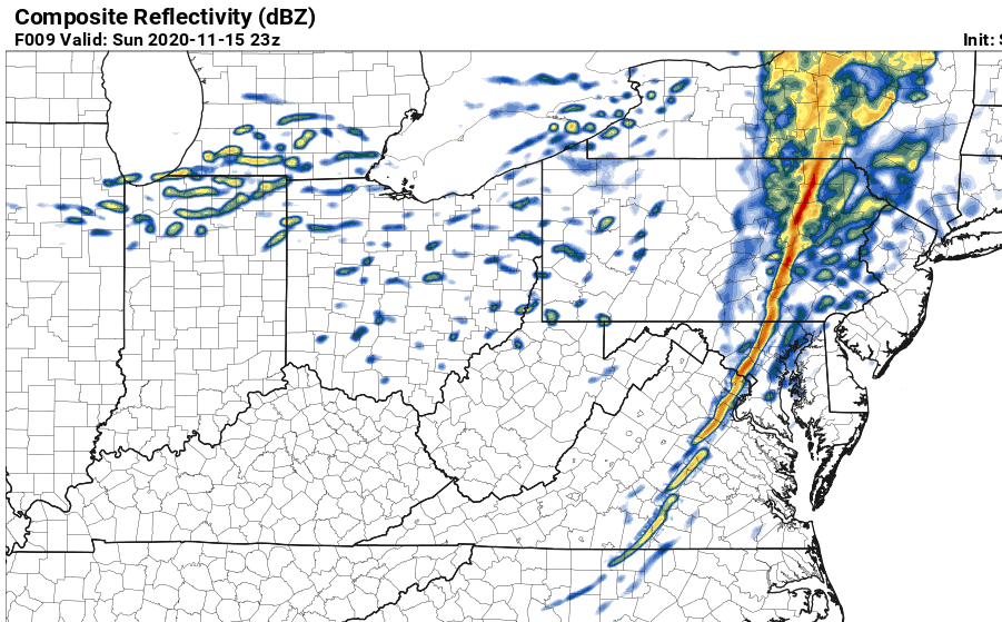
I-70 seemed to be the literal traintracks the beefy part of the storm followed. Definitely a good amount of yellows on radar right around there last night. Curious what some of the far nothern folks ended up with that had the warning. Seemed like the heaviest ended up just south of them.
About 10 mins north of Frederick here, just by eyeballing it looks like about 4 - 5 inches fell overnight. So yeah warning criteria was met, and NAM was pretty close, just a hair under maybe.
-
2 hours ago, WxUSAF said:
Interesting, thanks. But given that’s downwind of us, would need to see if that impacts these short range forecasts over North America.
I wonder how big of an impact, in regards to accuracy, the issue of the lack of data from commercial aircraft (especially over the oceans) is causing. There still isn't anywhere near the same number flying daily as pre-covid.
-
Heaviest rates of the storm coming down right now, a little north of Frederick.
-
If anyone is brave enough to venture out for pictures, the areas around Clarksburg/Hyattstown looked amazing on my way down on 270. Trees encased in ice and a good amount of snow on the ground. Sadly had to come into work so couldn’t stop for pics.

-
2 minutes ago, jayyy said:
850 low never closed off, allowing warm air to scream north. It’s early winter, barely below freezing, with relatively warm ocean waters compared to deep winter. If we had a closed 850 low south of here, this was an easy 12+ area wide
Is that why we didn’t see the usual pivot and spin on radar typical for winter storms? Or is that more of a different kind of storm?
-
17 minutes ago, LP08 said:
I have family in Scranton, they have travel emergency notices going to their phones. I hope to be getting pics tomorrow morning.
I can believe it, check out google maps traffic, that is a lot of interstate closures in that area.
-
 1
1
-
-
Just now, ErinInTheSky said:
Still 30 degrees in Germantown. We have a steady rain and everything is turning to ice. The roads will be ice rinks soon. The snow feels like shoveling wet sand.
Looking at Google maps for 270, it looks like it has already started. Yikes.
-
Still hanging onto snow here North of Frederick, they are getting big though, so change could be soon.
-
11 minutes ago, WhiteoutMD said:
interesting all snow in Annapolis not sure why it has green over me .
If that purple is supposed to be sleet, I can tell you it is not accurate up North of Frederick, all snow here.
-
1
-
-
4 minutes ago, catoctin wx said:
We just have no elevation at all for events like this. My house sits at a paltry 300 ft.
Yeah, I moved a little north of Frederick last year and was surprised that I had less elevation than Columbia haha. Well still better spot than Glen Burnie was.
-
Just now, WinterWxLuvr said:
That Cumberland reading can’t be correct
There are a few readings on there that seem to be very odd. Can’t believe Hagerstown and Cumberland are warmer than Frederick.
-
Windy and rain here, nothing to crazy here north of Frederick.
-
6 hours ago, A777 said:
 Another high-shear low cape event... This is the 14z HRRR
Hmmm looking pretty accurate right now.
-
1500 HRS Obs: Rain, lots of rain. That is all.
-
Coming up 270 can see a good number of towers, but not sure if anything will develop before sundown.
-
Wow, that is a lot of outflow boundaries criss crossing. Might fire up even more storms shortly.
-
That gust front from one of the Northern Frederick county storms is still visible on radar like an hour later.
-
4 hours ago, nw baltimore wx said:
I’m going to start up the chainsaw today in the hopes of keeping the strongest winds away.
And I’m going to counter that because we got a trampoline this summer. Of course I can’t find any securing gear now. May have to go gather up some heavy rocks.
-
1 hour ago, DCTeacherman said:
It would be hard to overstate the amount of lightning I’m seeing to my south from takoma park. Saw some incredible gigantic Zeus bolts.
It almost looked like on the radar that two different cells crashed into one another going different directions, I can imagine that leads to quite a bit of electricity build up. Jealous of all the lightning.
")
-
Radar is blooming like crazy right now on the west side.
-
6 minutes ago, BlizzardNole said:
Big, severe warned storm weakened and split right as it arrived. Still enjoying some thunder but not much rain. Thought is was gonna be a gully washer until the last minute.
Yeah, right there with you. Missed two rounds so far today. I think I moved to a bad city for direct thunderstorm hits. Rain and moderate rumbles.
-
Looks like some more storms starting to pop in the far western counties as well. Maybe a long day/night.
-
6 minutes ago, Eskimo Joe said:
Appears to be (another?) boundary or something racing north from Charles County. Wonder if that's maybe a bay breeze or something?
Yeah that really pops out on the radar, wonder what it is from.
Feb 18/19 Disco/Obs
in Mid Atlantic
Posted
I was worried about that when I looked this morning and saw how much traffic was heading in. I said nope, I'll work from home today.