

AfewUniversesBelowNormal
-
Posts
4,753 -
Joined
-
Last visited
Content Type
Profiles
Blogs
Forums
American Weather
Media Demo
Store
Gallery
Posts posted by AfewUniversesBelowNormal
-
-
The North Pacific right now is totally El Nino. You dont see this in La Nina really ever (Ive been watching since 2001). Nice to have these waves while still in longer wavelength season of a new event
-
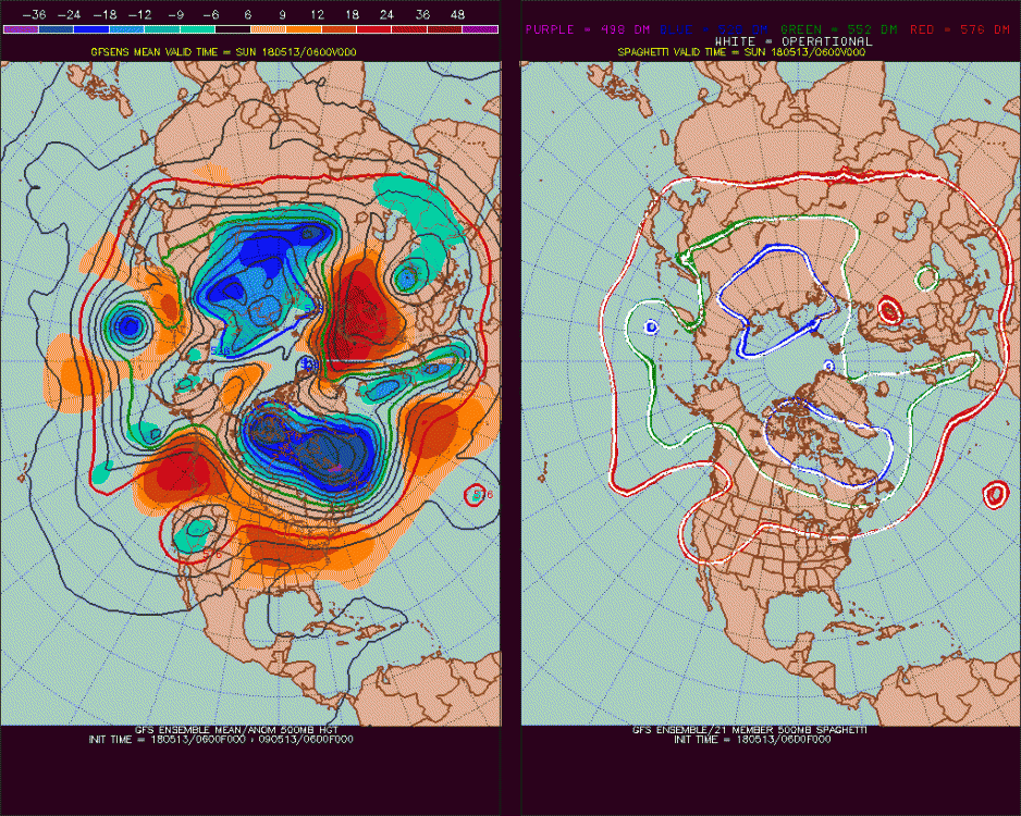
pretty substantial.. I bet it verifies

-
On 5/13/2018 at 6:35 PM, downeastnc said:
Yep between this GOM low and the SER sliding east the SE is going to be seeing a lot of deep tropical moisture headed inland over most of the SE.....
The 12Z was wet and thats ignoring the Cat 3 hurricane it has at the end of the run lol....

A few analogs to wet May..
1956, 1957, 1958, 1959
1987, 1991x2, 2001, 2003, 2004,
2009, 2010, 2012
A lot of hurricanes off the SE coast a few months later.
-
 1
1
-
-
Some things on this forum are rather threatening
-
Clouds were cool. It was a heavy energy day, similar to before 2016. But it was just a peak (look).. something is trying hard to make a point. That means it's something else

-
Who is Cobalt?
Do you think that's rain? -
This period stormy has +correlation with next Winter -NAO and general El Nino (I'll post images when computer arrives)
-
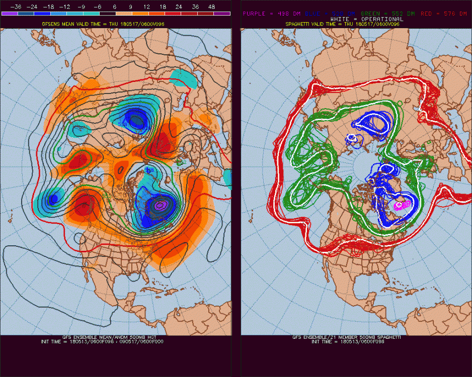
wierd ****ing orientation. Another day of this. It was good earlier.
-
Wow, what a nice day. Forget the SPC, yesterday there was no chance for severe storms. Today it's really high.
-
 1
1
-
-
The stuff in western Canada, so cool right?

-
-
On 4/20/2018 at 3:33 PM, calm_days said:
https://www.nature.com/articles/s41586-018-0006-5
Main Atlantic Ocean currents are changing: I didn't know about this until a few minutes ago! This more broad article is not mentioning the sea surface temperature differences that you are noticing, so it is important to hear a direct firsthand report.
The past two summers have definitely been cooler (but not completely cool), a simple aspect of that being the length of time it has taken for RDU to eventually reach 90.
When will this even out? Do we continue on a trend or stabilize somewhere soon? (I think it stabilizes but there is still room to move, we are maybe 60% of the way there since 2013)
-
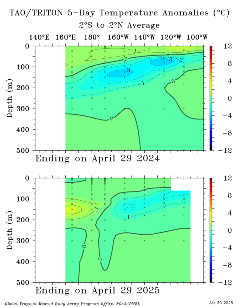
24" of rain is pretty extreme.. STJ going Strong Nino, at least Nino for the last month
-
West-based El Nino, about the best case scenario for snow
If anyone is interested
-
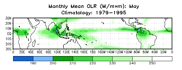
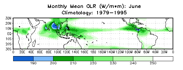
Current NTA favors El Nino because of OLR

-
Highest Hemisphere +anomaly will be in the Gulf of Alaska
-
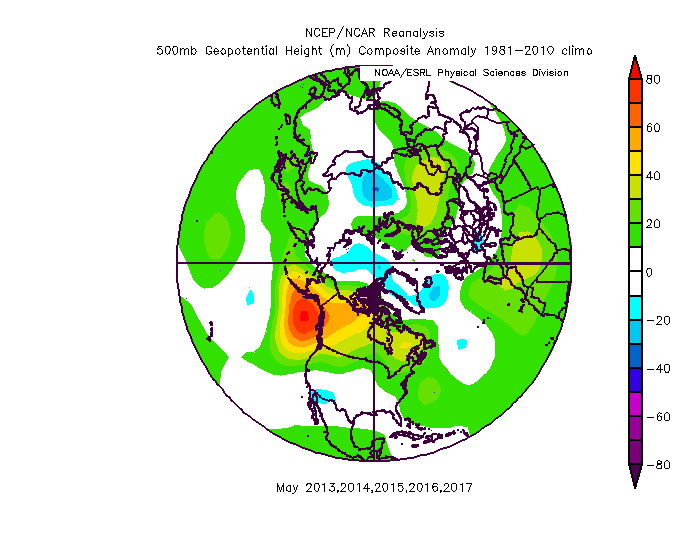
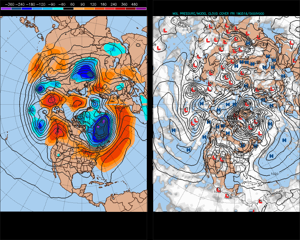
We need the opposite of this
-
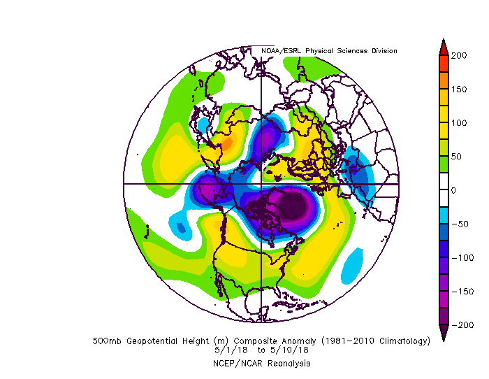
Not really a good pattern for severe weather general. The Atlantic tropical ridge is too strong. We need a Lower Midwest heat ridge, Southwest cutoff Low, or something like the late '90s where it gets really warm like upper 90s to 100 in July, coming from the dusty Upper Midwest. This pattern is tropical.
-
-
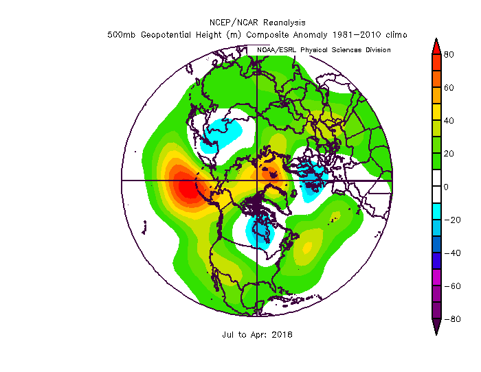
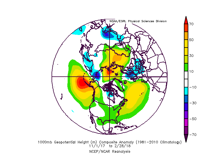
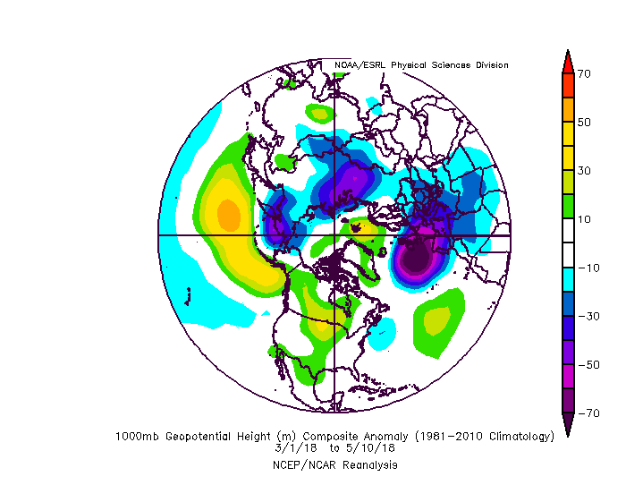
I think this is the most important image in long range forecasting
El Nino incoming
-
It looks now like it may go into a stronger Nino
-
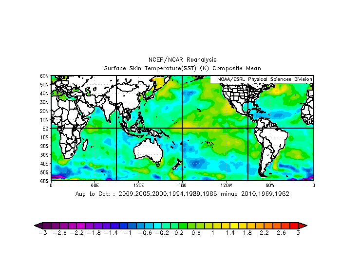
Look at this substantial warming in Nino 4. There is a chance this could be a Strong Nino.
-
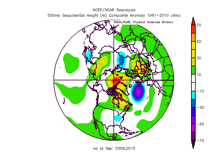
Tendency for high heights in the Arctic circle has been strong. If this holds, favors a lot of Atlantic recurving storms. 2009,2010,2011,2014,2015
Central Atlantic ridge at 850mb was strongest ever this Winter, up to +30% of mean average (Dec-Feb)! It reversed March with -NAO and has generally been NAO driven through April and early May. My guess is it would come back for the Summer.

-
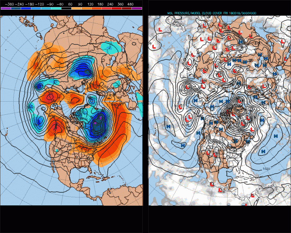
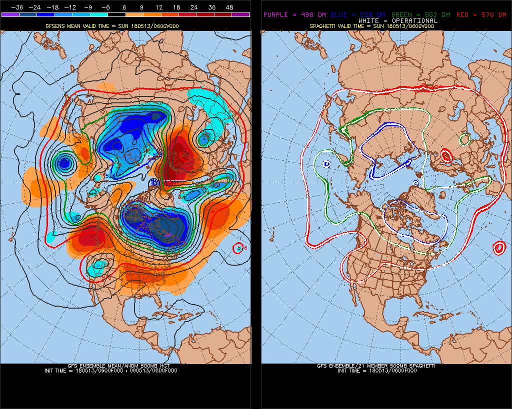
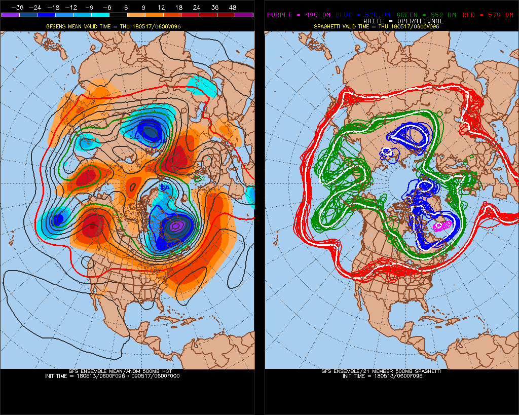
Ok.. look at how this filled in in the north part of Greenland then become an arctic circle block (models were consistently negative anomaly here until a day ago). I think this is the same trend from the Winter and it will be a large arctic ice melt season


Weak-Moderate El Nino 2018-2019
in Weather Forecasting and Discussion
Posted
Some really classic El Nino looks setting up in the North Pacific on long term models now