

mahantango#1
-
Posts
5,043 -
Joined
-
Last visited
Content Type
Profiles
Blogs
Forums
American Weather
Media Demo
Store
Gallery
Everything posted by mahantango#1
-

Central PA Winter 2022/2023
mahantango#1 replied to Blizzard of 93's topic in Upstate New York/Pennsylvania
According to my NWS forecast, their is no precip in their forecast at all for Tuesday next week. -
Central PA Winter 2022/2023
mahantango#1 replied to Blizzard of 93's topic in Upstate New York/Pennsylvania
Started out as snow quickly coated the ground, now it changed to sleet. Some of that sleet is big crystals coming down. -
Central PA Winter 2022/2023
mahantango#1 replied to Blizzard of 93's topic in Upstate New York/Pennsylvania
I remember many years ago when we used to get those 1-3in. or 2-4in snowfalls, but it seemed every winter we could count on getting that one snowfall of 8+. And everyone would be happy. But that don't seem the case anymore. Even Voyager and I would be happy for just that one big snowfall, the warminsta's that we are. If we would get that just one snowfall, then we can move on to spring. -
Central PA Winter 2022/2023
mahantango#1 replied to Blizzard of 93's topic in Upstate New York/Pennsylvania
Before the thunderstorm which brought a lightning strike that knocked the power out for a few seconds. Had wind driven rain and pea size hail.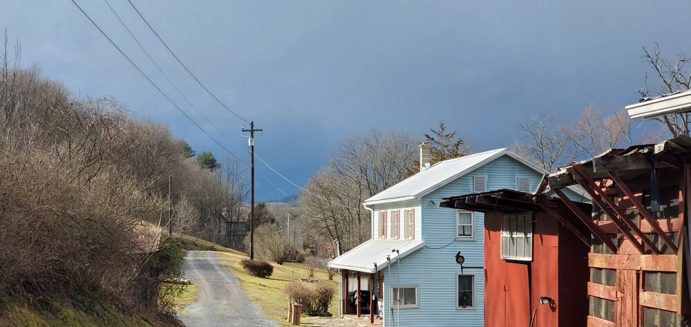
-
Central PA Winter 2022/2023
mahantango#1 replied to Blizzard of 93's topic in Upstate New York/Pennsylvania
-
Central PA Winter 2022/2023
mahantango#1 replied to Blizzard of 93's topic in Upstate New York/Pennsylvania
National Weather Service State College PA 207 PM EST Tue Feb 21 2023 PAZ028-056-057-211945- Perry PA-Juniata PA-Dauphin PA- 207 PM EST Tue Feb 21 2023 ...A STRONG THUNDERSTORM WILL IMPACT NORTHWESTERN DAUPHIN... NORTHEASTERN JUNIATA AND NORTHEASTERN PERRY COUNTIES THROUGH 245 PM EST... At 207 PM EST, Doppler radar was tracking a strong thunderstorm 17 miles east of Lewistown, moving east at 55 mph. HAZARD...Winds up to 40 mph and pea size hail. SOURCE...Radar indicated. IMPACT...Gusty winds could knock down tree limbs and blow around unsecured objects. Locations impacted include... Millersburg, Newport, Elizabethville, Mcalisterville, Mexico, New Buffalo, Liverpool, Mifflintown, Port Royal, Halifax, Thompsontown, Millerstown, Berrysburg, Pillow, East Salem and Enders. PRECAUTIONARY/PREPAREDNESS ACTIONS... If outdoors, consider seeking shelter inside a building. && -
Central PA Winter 2022/2023
mahantango#1 replied to Blizzard of 93's topic in Upstate New York/Pennsylvania
SPC has expanded their margian risk for severe thunderstorms this afternoon in Pa. -
Central PA Winter 2022/2023
mahantango#1 replied to Blizzard of 93's topic in Upstate New York/Pennsylvania
Spring bulbs foliage are poppin out of the ground all over where I live. IMO that's way too early. -
Central PA Winter 2022/2023
mahantango#1 replied to Blizzard of 93's topic in Upstate New York/Pennsylvania
37 was the low with some dense fog. And 19 rain, monthly total now is .41. -
Central PA Winter 2022/2023
mahantango#1 replied to Blizzard of 93's topic in Upstate New York/Pennsylvania
NWS says thunderstorms are possible later this afternoon. -
Central PA Winter 2022/2023
mahantango#1 replied to Blizzard of 93's topic in Upstate New York/Pennsylvania
Maybe Blizz is having a nervous breakdown on the way this winter is turning out, and no solid consensus of it coming back -
Central PA Winter 2022/2023
mahantango#1 replied to Blizzard of 93's topic in Upstate New York/Pennsylvania
It's been a dry month so far here. .20 precip so far this month and we're 18 days in this short month. -
Central PA Winter 2022/2023
mahantango#1 replied to Blizzard of 93's topic in Upstate New York/Pennsylvania
Not used to this cold after being on the warm side for a few weeks. -
Central PA Winter 2022/2023
mahantango#1 replied to Blizzard of 93's topic in Upstate New York/Pennsylvania
20 this morning. -
Central PA Winter 2022/2023
mahantango#1 replied to Blizzard of 93's topic in Upstate New York/Pennsylvania
This winter has been so unreal due to the lack of cold and snow. And the models even 3 days out and beyond imo just seem useless this winter. But maybe as everyone will look forward to spring coming, then we'll get unwanted snow and cold. But who knows at this point. -
Central PA Winter 2022/2023
mahantango#1 replied to Blizzard of 93's topic in Upstate New York/Pennsylvania
Maybe, just maybe...there's hope to somewhat salvage the winter of 22-23. But it's almost the 4th quarter of winter. Unless a last minute Patrick Mahomes comeback is on the table. -
Central PA Winter 2022/2023
mahantango#1 replied to Blizzard of 93's topic in Upstate New York/Pennsylvania
Hit 70 today. Getting more sun now and with the sun angle increasing throughout each passing day as we head towards spring. -
Central PA Winter 2022/2023
mahantango#1 replied to Blizzard of 93's topic in Upstate New York/Pennsylvania
I remember that snowstorm well, Nws was originally calling for 1-3 and they kept increasing the amounts through the storm. Storm complete with thunder and lightning I ended up with 17in. Harrisburg had I think 2ft. and if im not mistaken their greatest 1 hour snowfall during the storm of 6in. -
Central PA Winter 2022/2023
mahantango#1 replied to Blizzard of 93's topic in Upstate New York/Pennsylvania
47 nooners. -
Central PA Winter 2022/2023
mahantango#1 replied to Blizzard of 93's topic in Upstate New York/Pennsylvania
-
Central PA Winter 2022/2023
mahantango#1 replied to Blizzard of 93's topic in Upstate New York/Pennsylvania
The breeze started an pushed the temp to 49 from 38 all within an hour -
Central PA Winter 2022/2023
mahantango#1 replied to Blizzard of 93's topic in Upstate New York/Pennsylvania
Wow only 38 here. -
Central PA Winter 2022/2023
mahantango#1 replied to Blizzard of 93's topic in Upstate New York/Pennsylvania
Honeybees will come out from the hive during warm spells. They wer out in the beginning of January when it was warm. I have 1 hive of honeybees. -
Central PA Winter 2022/2023
mahantango#1 replied to Blizzard of 93's topic in Upstate New York/Pennsylvania
Some pics showed up on my Facebook from 5 years ago. that was any icy mess all ice under that snow. Maybe that should make the snow lovers reminisce of what it could have been this winter. -
Central PA Winter 2022/2023
mahantango#1 replied to Blizzard of 93's topic in Upstate New York/Pennsylvania
Everything seems to be against us this winter. Even when it starts looking good for a storm with potential, somehow some way it just seem to go away or misses us. Maybe we should think about spring, then maybe, just maybe we'll get pummeled by a storm thats forecast to miss us.


