

FLweather
-
Posts
2,419 -
Joined
Content Type
Profiles
Blogs
Forums
American Weather
Media Demo
Store
Gallery
Posts posted by FLweather
-
-
21 minutes ago, CaryWx said:
Is there a slp off the coast?
SLP well of the Atlantic Coast. Disconnected from the ULL.
-
 1
1
-
-
Downslope starting to kick in.
Back edge approaching GSO and CLT.
-
4 minutes ago, BooneWX said:
At the moment:
temp: 39
DP: 32
Wet bulb: 36
so.....not an ideal scenario
Yeah
-
We'll see.
But yeah I think another pattern change in store.
Tonight's ULL laying the ground work for it.
If that's really the gfs. Then yeah more than likely.
Its going to get cold.
-
TWC app on my phone, radar out of Huntsville and south appear to have some blue showing up.
That's definitely bright banding and a very impressive band.
It would not be out of the realm of possibility people under that band in AL atm getting slush.
-
1
-
-
1 hour ago, SouthWake33 said:
Also, don’t think it was Brick that had the healing skies theory...can’t remember the user name, but he/she was an odd character.
That wilkesboro dude.
-
6 minutes ago, landof2rivers said:
FLweather, where do you see the dry slot forming?
The usual lines.
85 and 40 east. North of there should be good.
-
One thing about this setup
It will run SE to NW. NW to SE flow.
The angle. Should provide a SE to NW flow. East side upslope hella dry slot followed by cold.
-
Frosty again this morning up around Rock Springs and rural parts of Lake County.
Kind of weird not to have frost advisories.
Can tell though the air is a bit dryer, not as much frost overall.
-
 1
1
-
-
Where ever that band sets up from the ULL.
The moisture and cold will be deep.
Deep instability above, in and below the DGZ.
It's either going to rain or snow hard. BL temps will not be a problem.
Sort of reminds me of that one ULL that came through years ago.
It was raining in Timberlake but roughly 10 miles Nw towards Hyco Lake near my house... we ended up with roughly 7" of powder.
-
1
-
-
I've been working near Mt Dora, FL.
But this morning I seen frost out in rural Lake County.
Was a solid 10 degree difference. 40-30ish.
There was frosted roof tops
-
2 minutes ago, The Alchemist said:
Corn liquor???
Sent from my iPad using TapatalkThat's the best.
-
 1
1
-
-
3 minutes ago, magpiemaniac said:
I’m not sure I like being in the (outside the mountains) crosshairs for the latest GFS and Euro three days out. Usually means DC ends up with a whopper of a snowstorm.
Right.
Especially since this is a Miller AB hybrid.
Places such as AL, Ga, essentially anything up stream is striking out.
-
2 hours ago, ILMRoss said:
Fun fact- The elephant in the room is that BL temps are pretty terrible for this event - the main difference with the RGEM is that it's totally colder; not really much else going on.
That's true. But at h5 of gfs lost alot of steam. Lot less organization over all h5 generally.
Even if the Rgem looks raggedy.
24-36 hours ago gfs soundings where moist and cold all the way up to h3-h4 with questionable bl temps.
A southern stronger track would be more favorable
-
18z GFS is a paste job. Looking at soundings. Most of NC pushing towards SC.
Deep moisture up to 350-400 mb.
-
14 minutes ago, griteater said:
Interesting that the UKMet is this wet...as it normally is on the conservative side with QPF

Even at a low bias snow ratio 7:1 8:1 ratio that's a solid snow fall.
-
2
-
1
-
-
Supposed to get down to 44 tonight. I've been noticing that the cold has been under done by 2-3 degrees.
Probably a safe bet to place...40 degrees.
It was pretty cool this morning. 42-43.
Honestly since I moved back to my home area in 2014. I don't think I ve seen as much brown and burnt bahia grass. That along will fall colors.
Not much sweet gum trees or maples but just about every one is was yellow to brown.
Alot of wild grape vines in the trees are yellow. In fact alot of Elephant ears are showing stress.
-
1
-
-
Meh... looking at the nam, gfs, cmc.
I wouldn't say nam is too far south. Its surface reflection maybe. It's highly strung out and disorganized. But looking at the h5 level relatively same latitude as gfs.
Unlike Canadian which takes it through TN instead of Northern AL, GA.
I think the SW over MT, WY along with the ridging over PNW, SW Canada may be an issue.
I guess we will see how it goes. Just too much moving pieces to get a solid answer.
-
18 minutes ago, BullCityWx said:
As you know, that'll get 'er done.
Can't ask for a better setup that. Once the secondary gets going. Precip will be pulled NW
-
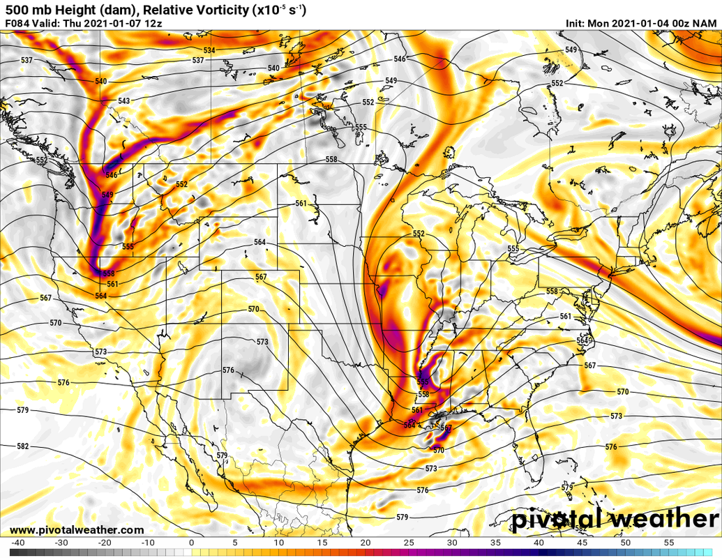
This mornings nam run.
Nicely organized cut off ULL with a surface LP near Pensacola FL.

Surface reflection has a primary near Pensacola with a secondary right off Jacksonville.
Very nice setup.
Edit:
850lp. Near Pensacola. Secondary off of Jacksonville. Baroclinic zone right at FL/GA line.
-
What I was mentioning about nam earlier
-
1 minute ago, Wow said:
This looks promising. Sfc low over MSY
What is that from? Looks like the nam
-
18 minutes ago, BullCityWx said:
Reminds me of the late 80s storms. very thin transition line .
A ULL will almost deliver. Just depends where you are.
As long as the mid level and surface level not spaced out.
-
Just now, Ollie_Williams said:
Even know that these snow maps look nice, don’t be surprised if there’s a lot more sleet than modeled due to the low level warm nose. Obviously if ULL shifted south, it would as well. I’m optimistic, but not married to our chances.
That's the thing about it.
Most of the soundings indicate atm very little sleet probabilities. Its either rain or snow.
Either the surface supports a snow sounding and upper levels too dry or upper levels support cold enough to but boundary layers too warm.
Not much in between
-
1
-
January 8th event obs
in Southeastern States
Posted
SLP well of the Atlantic Coast. Disconnected from the ULL.