

Gravity Wave
-
Posts
1,150 -
Joined
-
Last visited
Content Type
Profiles
Blogs
Forums
American Weather
Media Demo
Store
Gallery
Posts posted by Gravity Wave
-
-
Lack of consistent heavy rates plus the bad boundary layer (and warm pre-storm conditions) killed the storm in Manhattan. Very reminiscent of 3/7/18 where it snowed all day but the deform band ended up over NNJ instead of the City where it was modeled to be and the torched boundary layer never never got the full dynamic cooling effect so we had 33-34 degree white rain. Wound up with a coating of slush in Midtown and little more in Chelsea.
-
 2
2
-
-
Coating on cold surfaces here, starting to stick to the Avenues.
-
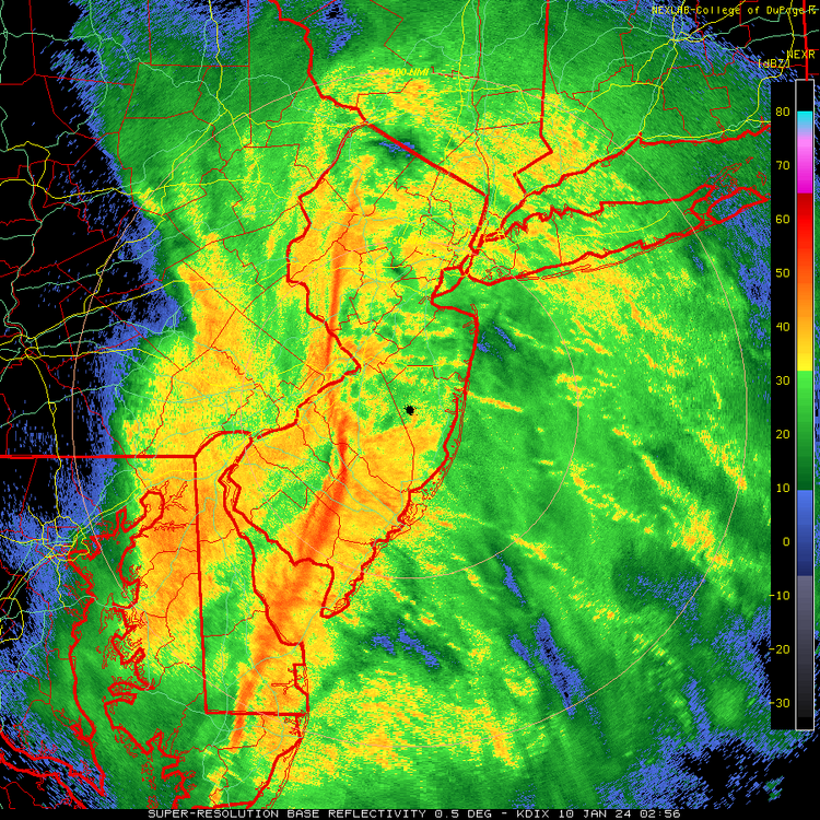
That embedded squall line feature looks nasty.
-
3
-
-
51 minutes ago, jm1220 said:
12” of snow in Central NJ from one storm is still a ton. We’ve been spoiled since the early 2000s. I remember the late 90s were horrendous. Between April 1996 and 12/30/00 couldn’t get any event more than a few inches. Don’t want to disturb the hornet nest but we’re due for a down period again. Hopefully this winter can produce but the background Niña state and -PDO is always a concern.
We've pretty much been in a down period since March 2018, with the exception of February 2021 (and maybe January 2022 for eastern areas).
-
6 hours ago, bluewave said:
The 80s were known for the big 3. Historic April 82 blizzard that still stands as our greatest late season blizzard. The famous February 83 snowstorm. Then the surprise January 87 snowstorm that was supposed to quickly change to rain but dropped near 10” on Long Island. You could also add the surprise December 88 Norlun that dropped around 10” on Long Island. But the snow band was so narrow that Western Suffolk had close to 12” and Long Beach got nothing. So it was too limited in coverage for me to add to my big 3 list.
Growing up in Allentown the neighbors who had been around for a while would talk about February 1983 before 1996 even though the latter ended up as a slightly bigger storm in terms of accumulations (30" vs 25"). I think it was the intensity that made such an impression, 1996 was 36 hours of steady snow while 83 came in like a wall and dropped 5" in an hour at one point.
-
November 2019 also had a historic arctic outbreak in mid-month. I forget how much it moderated by Thanksgiving.
-
4 minutes ago, Allsnow said:
All the storms in 2010 would have been white rain in todays climate
The Feb 5 storm probably wouldn't have been had it been able to make it further north.
-
I think we'll take our chances with strong blocking at the risk of some 2/5/10 or 1/13/19 style misses. You'd have to think one storm would get far enough north to slam us.
-
1
-
-
Pouring here again. Visibility down to barely half a mile.
-
1
-
-
2 minutes ago, mob1 said:
Central Park added 1.96" in the last hour.
Yup, 4.2" total for the event so far. The models were right (except the super wacky 12/18z HRRR runs from yesterday).
-
Starting to wonder if New Jersey might just liquefy and melt away into the Atlantic.
-
 3
3
-
-
Insane monsoon conditions half an hour ago in Midtown. Heaviest rain I've seen since Ida and very loud thunder.
-
1
-
-
Hurricane still there on the 12z GFS.

-
2
-
 1
1
-
1
-
 1
1
-
-
Right now this summer has a shot to be our most pleasant since 2009. The CFS weeklies say the heat will return for the last third of the month so we'll see.
-
6 minutes ago, Rmine1 said:
The line in western NY/PA is tasty. Odds it holds?
HRRR says yes, although in a significantly weakened state.
-
My only comment on energy policy is that the continued aversion to nuclear power among large swathes of both environmentalists and the population at large is extremely frustrating.
-
4
-
-
If this was winter the meltdown here would be absolutely epic.
-
20 minutes ago, Wxoutlooksblog said:
Picking right up on that last night's Euro along with today's GFS and CMC are again picking up on upper level low over eastern Canada that will renew the cyclonic flow of northwesterlies in the upper atmosphere for the northeastern U.S. including NYC through most or all of the first half of July. With this unfortunate development if you appreciate the sunny hot inferno typical of mid summer with high temperatures 90+ you probably have to wait until late in July or August. My anticipation after June averaged about 2.0 degrees below normal in NYC is for July to be almost a repeat performance the one caveat being the possibility of above normal night-time low temperatures compensating a little bit. But I'm not seeing any 90+ degree weather for NYC at this point through July 15th and I am seeing a continuation of frequent thunderstorm days, some smoke and haze, marine layers at times, all of which June featured. We're catching sort of a break today with lower humidity levels and a temporary let up in the cyclonic flow or upper low which had sat to our west for days and days but that let up will be over by Sunday.
WX/PT
Could the high dews forecast for early July prop up overnight lows enough to compensate for BN highs?
-
-
I didn't notice any smell walking home today around 6:00, but I just stepped out onto the balcony and the smoke smell was very apparent. Wild stuff.
-
1 hour ago, Superstorm93 said:
Quite possibly the dullest May I can remember in the last 10+ years.
Haven't even had a lightning strike since April over here.
Our peak severe season is half gone and there are no threats on the horizon. I'm not gonna complain about the lack of heat/humidity but it would have been nice to sneak an event in somewhere.
-
2
-
-
Late May-mid June has historically been the best severe window for the northern mid-Atlantic, at least for areas away from the immediate coast.
-
Along with things being wetter in general in recent years, it seems we're developing a habit of ending what dry spells we still get with huge rain events.
-
Yeah, it's pouring here and the radar looks very unimpressive.
18 minutes ago, LongBeachSurfFreak said:It’s still raining deceptively hard compared to the radar presentation. Low level moisture, like pouring drizzle.

2/13 Significant/Major Winter Storm Discussion & Observations
in New York City Metro
Posted
Wasn't here for that storm but I've heard a lot of people who were saying that they couldn't believe that CPK amount because they got so much less. I don't actually have any memory of it despite Allentown apparently getting 10-12", but I agree it's nowhere near the level of the all-timers despite its gaudy position on the snowfall list.