franklin NCwx
-
Posts
9,107 -
Joined
-
Last visited
Content Type
Profiles
Blogs
Forums
American Weather
Media Demo
Store
Gallery
Everything posted by franklin NCwx
-

-
FWIW the cfs ( which I'm not a fan of) takes the current mjo wave into phase 8.
-
Cold comes In this Sunday/Monday. Its inside the 11-15 day range now.
-
Thanks, it's just something to watch it could end up as another rain event. But its 10 days away and that's a setup that could easily trend colder the wave is forced under us. We will also have a retreating Arctic air mass before so it's not like we're above average hoping for a front to come in just in time.
-
It has at times, and lately it's been more of a response to the west coast trough. The ridge in central and eastern Canada is something we have not seen.
-
It's cold after that energy traverses the country. That piece could easily get forced under the ridge building to our north. We are in prime climo. Won't take too much for that to work out for us.
-
Kinda resembles a nino like pattern with the ridge in Canada. Decent chance that can be a snow event for climate favored areas. This is also a day 10 storm.
-
And his map is an op model. Not sure anyone can make a case for their point on a 10 day op.
-
It's silly to expect models to pick up small nuances that are currently over Mongolia and track them to form SE snowstorms.
-
Might get squashed. Hopefully not.
-
That storm is a cutter.
-
It is? What's showing this?
-
3 and 4 look pretty good. Unfortunately, most of those have a late bloomer. Hopefully that changes on future runs!
-
That's what I'm looking at. The storm this weekend isn't worth following.
-
There is potential but it's still too far out.
-
You must have a totally different climate...grass is all dead here.
-
Ensembles have been hinting at this timeframe.
-
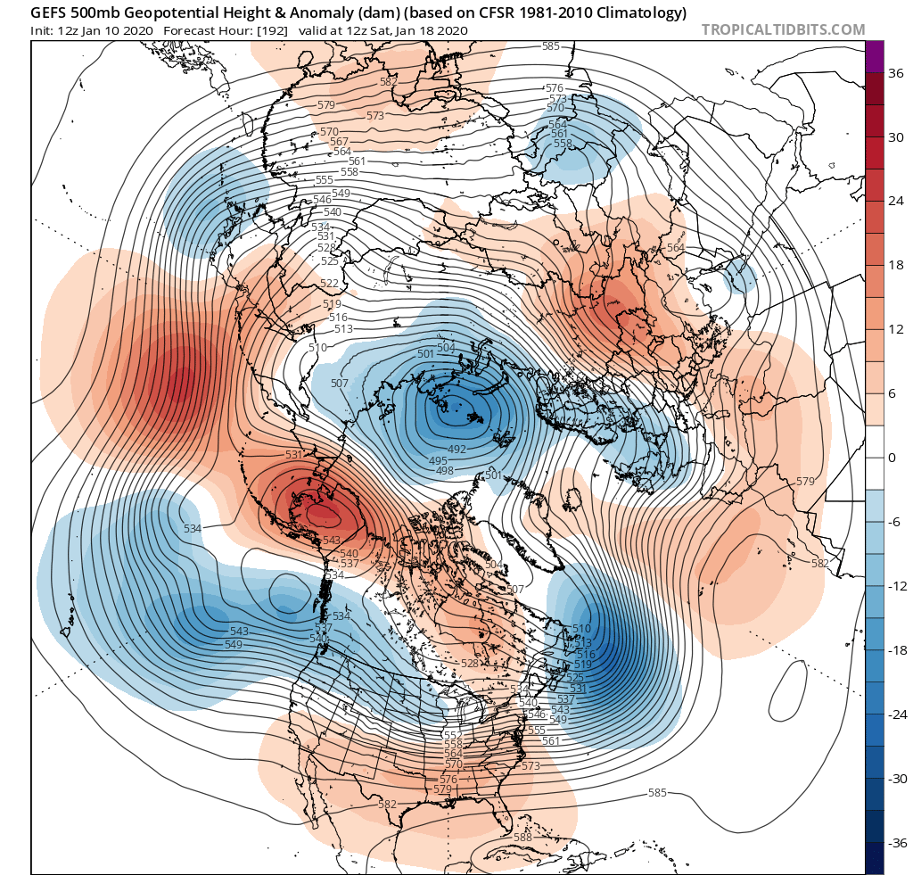
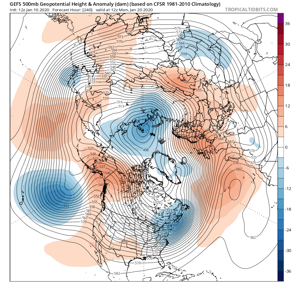
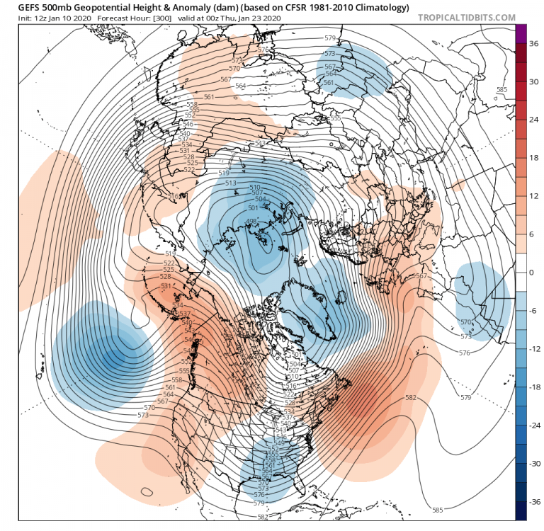
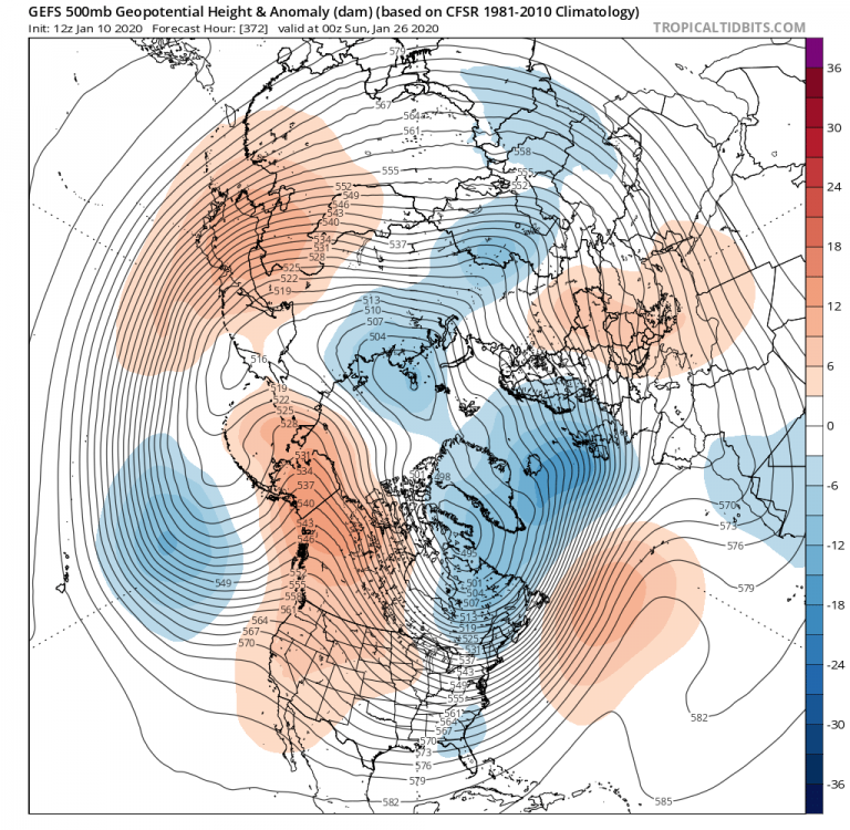
The 18z gefs 500mb pattern looks really close to the past several runs.
-
What are you even talking about?
-
Southeast Sanitarium - A Place to Vent
franklin NCwx replied to Jonathan's topic in Southeastern States
Nothing like 10 feet of snow! -
Wait till you see the latest eps run. It continues to look better with each run!
-
What was his forecast for the first have of winter?
-
Great look on the ensembles moving forward!

-
-epo always brings the vodka cold
-
Cfs goes crazy with the epo ridge!