

forkyfork
-
Posts
30,326 -
Joined
-
Last visited
Content Type
Profiles
Blogs
Forums
American Weather
Media Demo
Store
Gallery
Posts posted by forkyfork
-
-
54 minutes ago, MJO812 said:
Euro is an outlier right now. Even the Euro AI is a whiff.
you're not getting snow
-
 2
2
-
 1
1
-
 1
1
-
-
how often does a dry slot wrap west of us

-
2
-
-
did anyone's column rip with massive omega
-
1
-
1
-
-
Just now, Allsnow said:
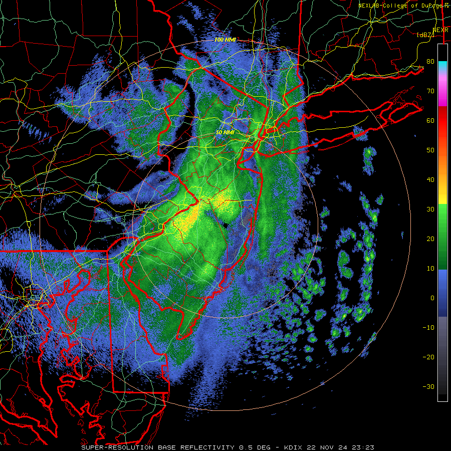
Might be a time for flakes around the metro

this storm is so wrapped up it's upside down
-
3
-
-
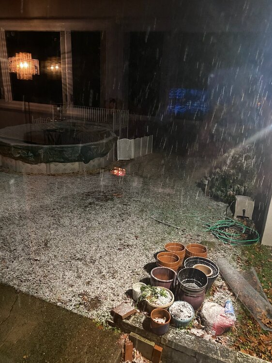
snow mixing in here
-
1
-
-
from my sister in stanhope
-
5
-
-
it looks like most of the metro will avoid the dry slot through the night
-
2
-
-
it hasn't been upgraded since 2017
-
2
-
 1
1
-
-
10 minutes ago, mannynyc said:
This thread is full of... optimism? Is everyone all right?
we're about to break the drought and the nao is -2
-
2
-
 1
1
-
-
29 minutes ago, Allsnow said:
Probably not until early December at this point. Grass is still green and my black eye Susan’s aren’t dormant
i have blooming lantana
-
3
-
-
7 minutes ago, Stormlover74 said:
Except for the nam it's a 1 to 2" event now for most.
maybe the nam will beat all the other models
-
2
-
1
-
-
the ukmet and 18z euro soak us. we might have a chance
-
7
-
-
bit of a wetter trend last night. hopefully the blocking can force this far enough south
-
5
-
-
we just cannot get a closed low to track near or south of us anymore
-
4
-
-
every time
-
3
-
-
drier trend on all models for next week now
-
3
-
-
i think raphael is the 4th gulf hurricane to give us nothing
-
1
-
-
8 hours ago, bluewave said:
At least we get some showers Sunday night before most of the rainfall with the system later next week probably misses to our east.


western troughing claims another coastal storm

-
2
-
 1
1
-
-
almost 70 degrees behind a cold front in november
-
2
-
5
-
2
-
-
now every time we get a greenland block there's a trough from alaska to mexico
-
4
-
1
-
-
the wetter models take raphael nne through the east while the drier ones dissipate it in the western gulf
-
6 hours ago, Rjay said:
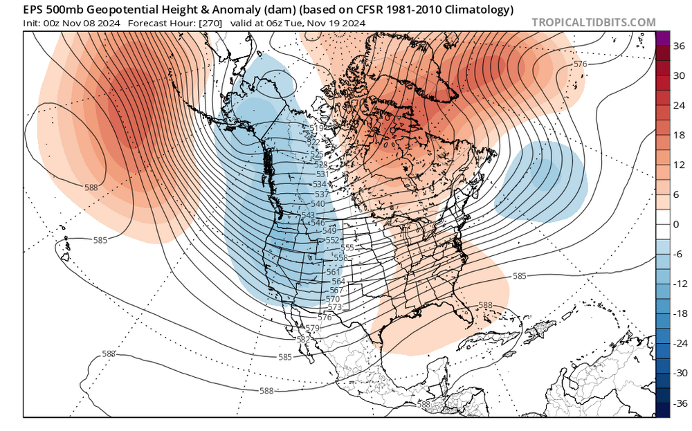
EPS just keeps reloading the ridge
maybe we can get the latest 80 on record
-
2 minutes ago, the_other_guy said:
So what? And what have you had? An iceberg? Yelling torch and going +4 on 11/1 for a winter forecast skews warm to me
While he may skew warm, and MJO cold, you just skew miserable
we haven't had a cold winter in a decade
-
2
-
1
-
-
22 minutes ago, the_other_guy said:
You skew warm though. So I have to view your forecast through that lens.
I dont necessarily disagree with your forecast, but it is important to mention you are the first to yell torch often to exaggeration
Just like MJO skews cold. You get to know the posters on here.
you haven't had a month with a negative departure since a year ago
-
1
-
1
-
2
-


November 2024
in New York City Metro
Posted
cold with cutters in between