

CoraopolisWx
-
Posts
2,918 -
Joined
-
Last visited
Content Type
Profiles
Blogs
Forums
American Weather
Media Demo
Store
Gallery
Posts posted by CoraopolisWx
-
-
Based on records I could find, this could end up being the lowest two year snowfall total anyone alive today has ever experienced. (Anyone alive back in 1932 would likely have been very young)
-
The Gfs for next Saturday is like a microcosm of this nino winter.
The positive aspects are outweighed by the negative.This winter had plenty of SS vorts to provide moisture, unfortunately the tendency for NS vorts to stay north was amplified more so, preventing any phasing below our latitude. Hope this makes somewhat sense.
-
1 hour ago, north pgh said:
Lines of storms split and went right around central Allegheny County
Storms are already in mid season form. Lol
-
1 hour ago, PghPirates27 said:
These maps hit different
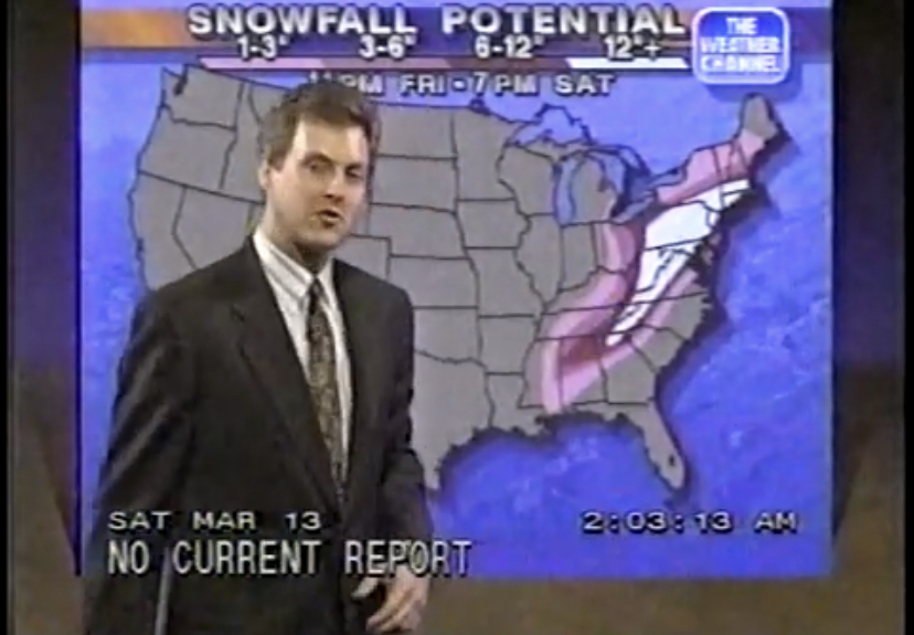
IMHO, the 90's TWC graphics overall were sharper and less washed out than today.
-
2 minutes ago, PghPirates27 said:
If this was 2024 we would somehow get dry slotted and Akron would get 3 feet.
Or dissolve inside of 2 days.

-
Bit of a melancholy anniversary, with how these last two winters have been. This storm is starting to feel the way November 1950 used to.
-
 1
1
-
-
Euro still interested in the 18th-19th time period. Op showing some fantasy snow.
-
Euro is showing sufficient 700mb moisture tomorrow. So we could have a similar setup to the previous two lake enhanced events.
-
2
-
-
To keep everything neat and tidy, I suggest we post in this thread only.
-
Where's the page on the NWS site that has the years of each reporting location.
It used to be with various records, but I can't find it now. Thanks
-
We could use more of a wave for Wednesday night. Usually a straight up anafront doesn’t verify the guidance bullish snow amounts.
Although next week a possible storm ala Christmas Eve 2020, has been showing up. -
-
-
-
1 hour ago, MikeB_01 said:
No cool air in sight, i'm done wishcasting snow. Bring on the Spring!

I'm always kinda torn with these types of winters. One part wants to delay Spring because it might be another 9 months before any winter weather returns.
The other side is just done with these snow drought winters, and couldn't care less if it ends.

-
Great scene outside with the sun shining through the snow covered trees. Overall solid forecast of a general 2-4”. Of course more if you were in that band.
Next Saturday we need that vort to drop down more south and west, to develop earlier for us. -
Just now, Burghblizz said:
The mesos did have some weenie bands, but not in that area. Was further south and east.
Yeah, maybe the embedded bands are more difficult to forecast.
Three weeks ago, guidance nailed the lake bands. -
Quickly accumulated on the grass, although roads should cave soon as this superband develops.
-
That imbedded band is like a laser beam. Lol
Maybe 1-1.25” rates.
-
1
-
-
I’m guessing the Great Depression would’ve kept us busy enough to not complain about the lack of snow during the early 1930s.
Then again…. Lol -
Looks like we need another southern trend for Friday night. SMH
-
2 hours ago, RitualOfTheTrout said:
This storm was always a long shot, but its starting to look like this "epic" "mint" "awesome" pattern that this storm was just a precursor for is also a brief cold shot, probably similar to the week in January. Nothing we can do, just along for the ride, maybe we get a fluke, or maybe we get an early warm Spring. I'm good with either at this point.
At least this board has always doubled as a weather enthusiast/support group location. lol
-
1
-
-
Unusual for the 3k to be more, but for now it’s a positive.
-
It appears on both the nam and gfs, we avoid any SE surface wind for the duration of the event. For this type of borderline system, a downsloping wind would be a death knell.

Pittsburgh/Western PA Spring 2024
in Upstate New York/Pennsylvania
Posted
Almost tropical like efficiency with this system. Probably will end up with 3-4” for the second week in a row.