KAOS
-
Posts
1,536 -
Joined
-
Last visited
Content Type
Profiles
Blogs
Forums
American Weather
Media Demo
Store
Gallery
Everything posted by KAOS
-
https://kaosfactor.github.io/airports.html
-
https://kaosfactor.github.io/zipcodes.html
-
Weather app with multiple layers, etc... https://kaosfactor.github.io/wxapp.html
-
Here is some stuff...
-
This actually performs well on mobile... even on my wife's shit samsung/android phone that she refuses to replace. That is my baseline. Shit phone. I'm a shit phone warrior.
-
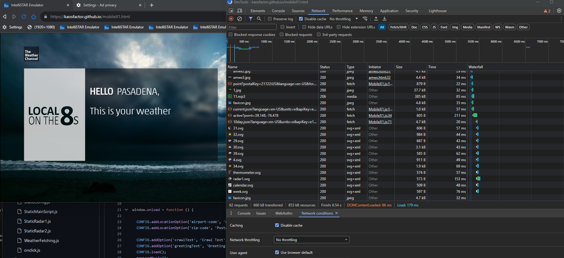
Tuning it up... Live edits/updates... https://kaosfactor.github.io/mobileX1.html

-
Can I add an animated background? Of course. But depends on hardware/connection. Let's try... I predict fail. Edit: Failed. Though at some point this will happen for desktop/workstation versions.
-
Most of the "development" stuff is out of the way... next I will make some "clean" versions.
-
Gusty winds. A leaf blew off my tree. 16 rain drops in the bucket!!! This is awesome.
-
Now it works... https://k-a-0-s.github.io/airports.html
-
Do not underestimate that which has not been underestimated.
-
Light rain thus far... just enough to make outside chores more cumbersome. Blobs are on my doorstep.
-
Indeed... it is very blobby.
-
-
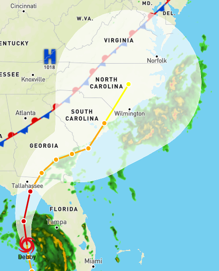
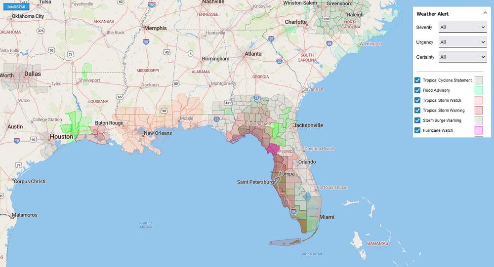
Both airports and zip codes are live. Added radar and warning to airport map. Both are accessible from the configuration menu by clicking on the "Airport" or "Postal" text.
-
Zip Code map live... https://k-a-0-s.github.io/zipcodes.htm
-
Also adding Airport map... For all the airport codes.
-
Should be helpful when entering zip codes into the emulator's config menu. Will be accessible by clicking Zip Code text in the menu.
-
New Zip Code Map.... Hover over location for zip code. Obviously includes radar and warnings.
-
New stuff...
-
Incoming.... Update to increase radar animation loop to 3 hours from within emulator.... const frameCount = 10; // total intervals const startMinutes = -180; // start time offset relative to now, where negative means past const endMinutes = 0; It was 30 minutes.
-
Welcome to the Grand illusion.
-
I will try to encapsulate... best no charge ad free weather app disguised as an emulator.

-
This... is done.
-
If this doesn't work out for most... then you are doomed. JMO.