nycsnow
-
Posts
4,912 -
Joined
-
Last visited
Content Type
Profiles
Blogs
Forums
American Weather
Media Demo
Store
Gallery
Everything posted by nycsnow
-
FWIW I compared the hrr and rap initializing and they’re almost identical to current meso data low is in same spot and they are 1001 mb hour 1 it’s currently 1002
-
I really think the further east you go closer to 2 feet, if the banding is legit 24-30 might happen for someone
-
Radar looks great, low looks great. Meso models look great… it’s coming
-
1002
-
Down to 1004
-
Euro just showed the storm 2 days ago lol
-
Hrr great and still snowing
-
Hrrrrr slightly further nw
-
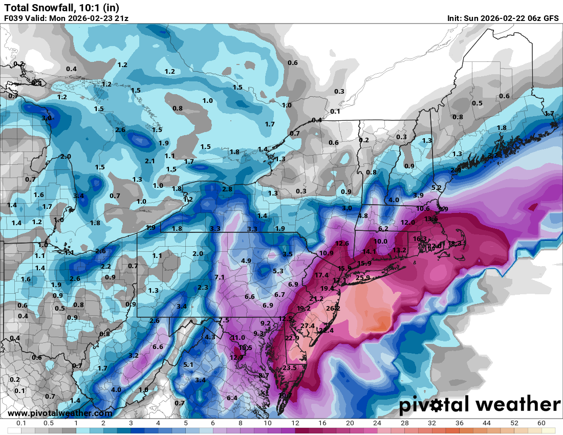
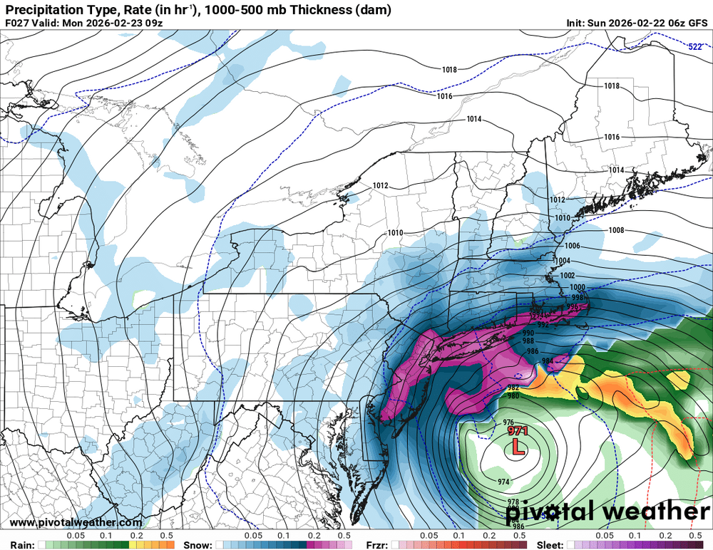
If gfs verifies we go from historic to maybe the January storm being the biggest YIKES
-
lol was predicted and normal, low didn’t even form storms not til late tn. Even if it’s snow right now it’s not sticking
-
sref is still great for almost everyone, only really impacted the western cutoff, which was wild to begin with had double digits way upstate lol
-
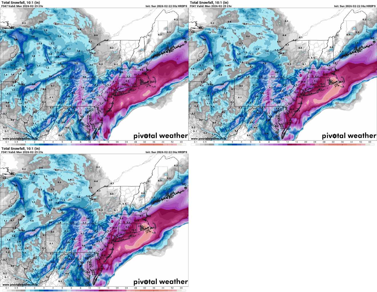
HRDPS doesn’t even agree with the RGEM
-
Sref coming in less amped so a little bit east
-
Yea matches most models so far
-
HRDPS better than its cousin RGEM and tended better since 00z
-
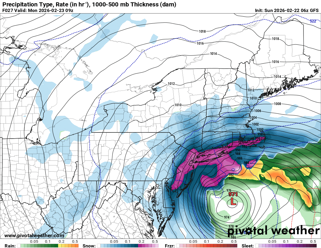
Gfs
-
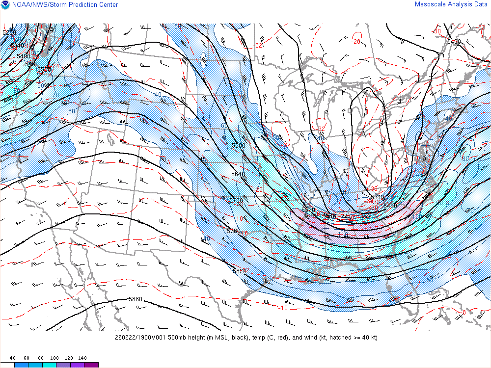
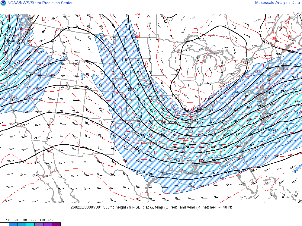
Current view
-
Have to see if other mesos start picking up on the stalling idea… would be epic
-
Nam looks like hrr stalling the low south of LI