Jns2183
-
Posts
5,838 -
Joined
-
Last visited
Content Type
Profiles
Blogs
Forums
American Weather
Media Demo
Store
Gallery
Everything posted by Jns2183
-
It's nothing but taco innuendos the rest of the year Sent from my SM-G970U using Tapatalk
-
I'm evil. I enjoy seeing the horrible weather ruin spring Sent from my SM-G970U using Tapatalk
-
It was a bloody Mary first, then a Stella. The bar was full of those who had a 3 hr delay Sent from my SM-G970U using Tapatalk
-
Haha, I love flying out of HIA. Security takes a second to get through. Even when my 9am flight is postponed I just end up at Phillips drinking beer watching a random morning formula 1 race Sent from my SM-G970U using Tapatalk
-
Those wind direction changes are whacky cracked out Sent from my SM-G970U using Tapatalk
-
Did the wind direction change? Can you give me the link to those 5 min obs Sent from my SM-G970U using Tapatalk
-
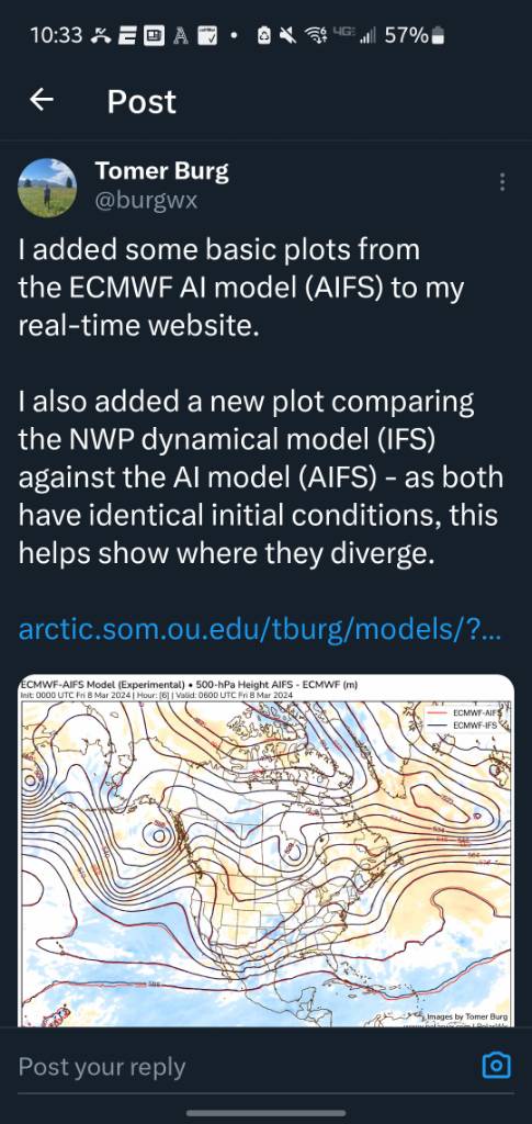
http://arctic.som.ou.edu/tburg/models/?model=ecm&base=ptype&background=plain&state=states_brown&country=countries_brown&proj=conus&archive=false&run=2024030900 Sent from my SM-G970U using Tapatalk

-
@canderson yes its late and i'm dead tired but the moment i saw this ERA5 reanalysis for February I could only think of you. Sent from my SM-X210 using Tapatalk
-
I would love to have a record of the 3 hr average temperature from 6-9am and 3-6pm for each day Sent from my SM-G970U using Tapatalk
-
I saw on my news feed some SCI Camp Hill corrections officer was charged with "tazing" his supervisor. The mad lad loved the American dream for a moment. Sent from my SM-G970U using Tapatalk
-
That's how we get a freezing wet spring Sent from my SM-G970U using Tapatalk
-
You have a better chance of rain then we do over here today. Stuck between two stationary fronts Sent from my SM-G970U using Tapatalk
-
We are so overdue Sent from my SM-G970U using Tapatalk
-
I was a tax auditor for the IRS and Pa Department of Revenue awhile ago Sent from my SM-G970U using Tapatalk
-
Goodbye Sun till Friday Sent from my SM-G970U using Tapatalk
-
Let's build up a nice cushion for the inevitable 3 week summer drought Sent from my SM-G970U using Tapatalk
-
Best look on Euro in 3 years if that came true Sent from my SM-G970U using Tapatalk
-
So are we really getting showers and rain for next 6 days Sent from my SM-G970U using Tapatalk
-
Fail Sent from my SM-G970U using Tapatalk
-
My forecast has rain every day starting tomorrow till next Sunday Sent from my SM-G970U using Tapatalk
-
Great drunk king of mountain snow pile. Guaranteed compound fracture with TBI thrown in for free Sent from my SM-G970U using Tapatalk
-
Send pictures Sent from my SM-G970U using Tapatalk
-
I'm amazed how when one of us is foggy, the other is bright sun. Almost without fail. Sent from my SM-G970U using Tapatalk
-
White rain Sent from my SM-G970U using Tapatalk
-
Doesn't look like much sun the next week Sent from my SM-G970U using Tapatalk