

Ralph Wiggum
-
Posts
16,101 -
Joined
-
Last visited
Content Type
Profiles
Blogs
Forums
American Weather
Media Demo
Store
Gallery
Posts posted by Ralph Wiggum
-
-
HRDPS continues the theme stalling the slp farther S and even drifts it SSE for a period. Increased totals in SE PA. Again, I would cut most of those in SE PA in half due to losing accums during changeover but still a nice little welcome to met winter storm!

-
 1
1
-
-
Just now, Fields27 said:
Such a strange looking snow map. 12z nam is a good bit better but it doesn't show that death band dipping down past philly.
Sent from my SM-N975U using Tapatalk
Most mesos are showing that deformation band in the general area. Whoever gets under that as the slp stalls will see the better snows...but you already know this. That CCB band will be somewhere in SE PA.
-
1
-
-
Most mesos are hellbent on hanging the slp a bit farther S and nudging the heavier snows farther S. Southern Bucks, Montco, Chesco, and even Delco now potentially in play. Definitely nice to see trends in our favor to begin met winter as opposed to trending the opposite way. Cut those totals in half btw as most areas in SE PA will be fighting accums to starts during the rain to snow transition. Going to be a nowcast for my area no doubt.


-
Thru 240 on the EPS/GEFS/GEPS pattern isnt terrible. AO looks to go from positive back to neutral then negative. PNA starts then ends positive. Big EPO ridge...Aleutian low. Atl side is meh imo...nothing too exciting yet no major red flags either. Would be nice to get the NAO ridge to work in tandem with the favorable PAC teleconnections but maybe as we move thru the month. Again, thru day 10 no significant concerns and certainly not a shutout look. And that takes us closer to mid Dec so no complaints. Those day 10+ progs with collapsing patterns and PAC air flooding the US keep being pushed back for now.
-
Just now, Birds~69 said:
1-3", 2-4" ish...
Yup I went 1-3" for us. Go Birds!
-
How the heck do I make a forecast for Doylestown based on this...most mesos are close in the sharp cutoff.

-
1 hour ago, RedSky said:
The Meso's are not doing much for this region especially south of Qtown to far north Jersey, interesting split in the guidance on this one.
NAM crept South with the meaningful snow fwiw. Gets the nearby burbs into the action with the ULL/CCB love.
-
16 minutes ago, BTRWx's Thanks Giving said:
Also, that scenario would be rain.
Euro is close to something. Temps are close below the M/D line at glance. Didnt see precip maps.
Eta: Better spot similar to tomorrow's storm ie Northeast PA, NY, NE...maybe a rain to backend snow

-
Just now, RedSky said:
Ukie wraps a 3-6" backlash band down through Bucks and kisses Philly, ECM basically has the same thing displaced 50 miles ENE.
The Euro is like the grand-dad that is starting to lose it and the Ukie is like the drunk uncle that passes out before the holiday dinner.
-
1
-
-
29 minutes ago, Furrawn said:
So there’s no chance of the temp dropping to help the storm? We’ve got snow in the forecast (Newtown) from 6 am to 11 pm. I see temps from 39 to 37 all day which goes against the snow actually happening much less sticking... but can’t the temp end up being cooler?
it’s just so quiet here. I thought I’d see excitement about the possibilities... and discussion about what white whale changes need to happen for the storm to become a reality.
Don’t give up on snow and winter already. You guys really make winter and the joy of weather come alive.
The areas like the LV and Poconos that may see accumulating snow are in a different sub forum. The Philly area will start as a mix N of the M/D line mid morning. Turning to plain rain South to North. Periods of rain/wet snow Monday as the coastal does the tighten up. Accumulation in extreme SE PA will be minimal at best imo. Northeast PA will do well.
-
1
-
-
36 minutes ago, Snowchaser said:
Why is no one talking about this for next week??

Both jet streams are somewhat progressive and the NS disturbance and SS disturbance remain separated on most if not all guidance. Would need a mechanism to nudge the SS to the North and/or amplify the NS....and then of course timing a phase would be the next obstacle. Worth watching but not a threat right now.
-
Squeeze play...under 7 days now. Bubble of hp on W North America and another squeezing over the Middle East. Looks like the warming over Siberia is legit and the SPV is getting pummeled. I'll leave it to the experts to decipher what it means but it cant be bad. Beats a strong SPV anchored over the N Pole that is stable and unpressured no?

-
19 minutes ago, RedSky said:
NAM spins and retrogrades like nothing before to pull this off

In like with the Ukie and GGEM
-
1
-
-
3 minutes ago, JakkelWx said:
What kind of person would copy your exact same words verbatim and post them on someone's twitter account? That's downright plagiarism right there. Glad he was called out in the tweet below (he also admitted to it)
Apparently all the weirdos come out of the woodwork as winter draws nearer.
-
 3
3
-
-
9 minutes ago, showmethesnow said:
Besides the WAR looks fine to me without any major red flags.

eta: guess I should have kept scrolling.
WAR is no surprise in this new post-2010 type climo. Whether it feeds the NAO ridging as it had been doing much of the fall or decides to play bully and remain stationary or worse feed the SE Ridge is the 100k$ question on the Atl side going forward.
-
1 minute ago, WxUSAF said:
Does it? He never posts a lot, it is thanksgiving weekend and he just posted 3 hours ago about East Asian mountain torque.
I know last nights eps looked pretty rough after D10. 12z Eps looks nice at D10, so I’m guessing it probably looks promising for at least D11-12, but haven’t seen any of D10-15 to be sure.
Tbh I haven't looked past day 10 on the ens except for the strat stuff which I rend to glance at. That SPV gets squeezed and almost splits Day 10+ with lots of warning over Siberia. Take what you want from that I guess. Could look worse.
-
5 hours ago, frd said:
The much anticipated warm December is coming. Simply can not fight the deep tropics.
The same concerns last year regarding the MJO that lasted in the warm phases for weeks on end may repeat again this December.
The latest AO forecast do not look as good today, the NAO going up. Source regions are warming. The camp that predicted an overall warm December is a step closer to possibly being correct. Early December this year similar to last year, and then we warm. Whether it lasts two weeks or longer is still hard to pin down.
The consistency of the last few years of the pronounced warm up post 12/20 is an increasing risk again this December.
There is a repeating pattern of late.... warm Octobers , cold Novembers, Decembers turning warmer after the first week. There could be a delay this December with the cold winning out until the 10th, but still looking like we warm once past the 10th.
I will also mention new research reinforces that the idea in which the MJO is spending more time in the warmer phases while racing through the cold phases. This is pronounced in the time period from 2010 forward.
What is even more telling is the sudden silence from HM on Twitter. Speaks volumes.
-
 1
1
-
1
-
 1
1
-
 1
1
-
-
2 hours ago, psuhoffman said:
I’m not concerned but will point out the smoothed our blah look on the ensembles day 10-15 is not because they mostly think that will be the pattern. It’s becagas they have no clue with huge divergence and a mean that combines a lot of variance (some good looks and some bad) into an ambiguous mean. In short that look is not likely and it’s going to end up adjusting one way or the other and depending on which camp is correct we could end up with a pretty good pattern or a real crap one.
Biggest takeaway....the god awful seasonal/weeklies pattern continues to get delayed and is always 10+ days out....for now.
-
12z meso guidance showing some pingers on Sunday. Definitely trending a little more WAA frozen than the globals which can be expected as we get closer.


-
12z NAM looks like a slightly scaled back QPF version of he UKIE fwiw. I dont trust either tbh but it is interesting.

-
EPS was a nice tick S as well. Warning criteria snow up here. My gut wants to say we are seeing the windshield wiper effect. But my brain says the S trend may be legit as there is now a banana high appearing across most guidance. If that feature is real and continues to appear on future runs, we may be in business. Interesting.
-
1
-
-
Hard NOT to be surprised at the last few euro/eps/ggem/ukie runs tbh. It isnt very often that we get systems to trend in our favor.....which is why I am still on the fence irt Philly proper. If this continues thru 12z fri, it is probably time to jump all-in. The euro showing 6-10" up here is certainly something to be thankful for on this Thanksgiving. We take for now.
-
6 minutes ago, RedSky said:
The ECM CMC today all of a sudden have a building arctic high forcing everything south thus the miracle solution.
You back in bruh?
-
1
-
-
Old EE rule in effect? NAM looks similar to the EPS....stronger hp, colder, develops slp farther S. Verbatim would be a brief snow to rain then back over. N zones look solid for a decent event.


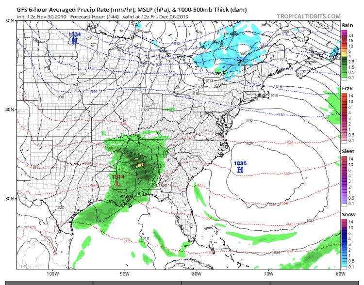
Coastal Storm Dec 1-2
in Philadelphia Region
Posted
Models making decent jumps S in the short range. Maybe just maybe for once we can get something to work FOR us rather than against us. Looking very interesting to say the least.