eaglesin2011
-
Posts
989 -
Joined
-
Last visited
Content Type
Profiles
Blogs
Forums
American Weather
Media Demo
Store
Gallery
Everything posted by eaglesin2011
-
Yeah, I Just saw the euro snowing until 7am Monday morning... wow.. that would def make a difference... (I doubt it last that long but hey better for us if it does )
-
Can you or someone post the mean total for the area from the major models for the mid day runs.. Im at work and unable to look myself..
-
Yeah.. Its going to be all about that pesky snow/mix/rain line... I Have a feeling we will see all 3 for most parts of the area.. prob start as snow then mix then back to snow... Whats the start/end time showing on most models? Another thing that could make a big difference is when and how fast the dry air pushes in .. Seems like it always finds a way to get into this area...
-
Nice hopefully that's the case.. Is that with any icing on top? you have a map? keep us updated
-
It has gone dead silent in here. I'm surprised more of you aren't chiming in....even if we don't receive allot of snow it still could turn into a pretty good ice storm in parts of the area. I personality believe out here in the West End we will get a 3-6 storm with maybe a little sleet/frz rain. Error margin could be high both ways of course...
-
HA HA... .If it does turn over it most likely will still be mostly freezing rain .. and this is still after a few hours of snow.. (line has inched up a bit tho.. always right on the border in these parts..
-
Yeah def don't want much more of a north move here... Hopefully the cold air will be stronger then expected so we wont have to worry.. Today's runs are going to be interesting.
-
so how far off are we now for the record of all time rain fall for the year ?. Looks like at least another inch expected on Thurs
-
On the door step ... blah Wouldn't be a good thing extended sleet or frz rain.. on top of all this...
-
If we r going to have any thundersnow it prob will be in this part of the storm within the next hour or two
-
-
These better for you? Ha
-
Line slowly creaping ..may get here at tge same time DC gets in on its furst flurries .

-
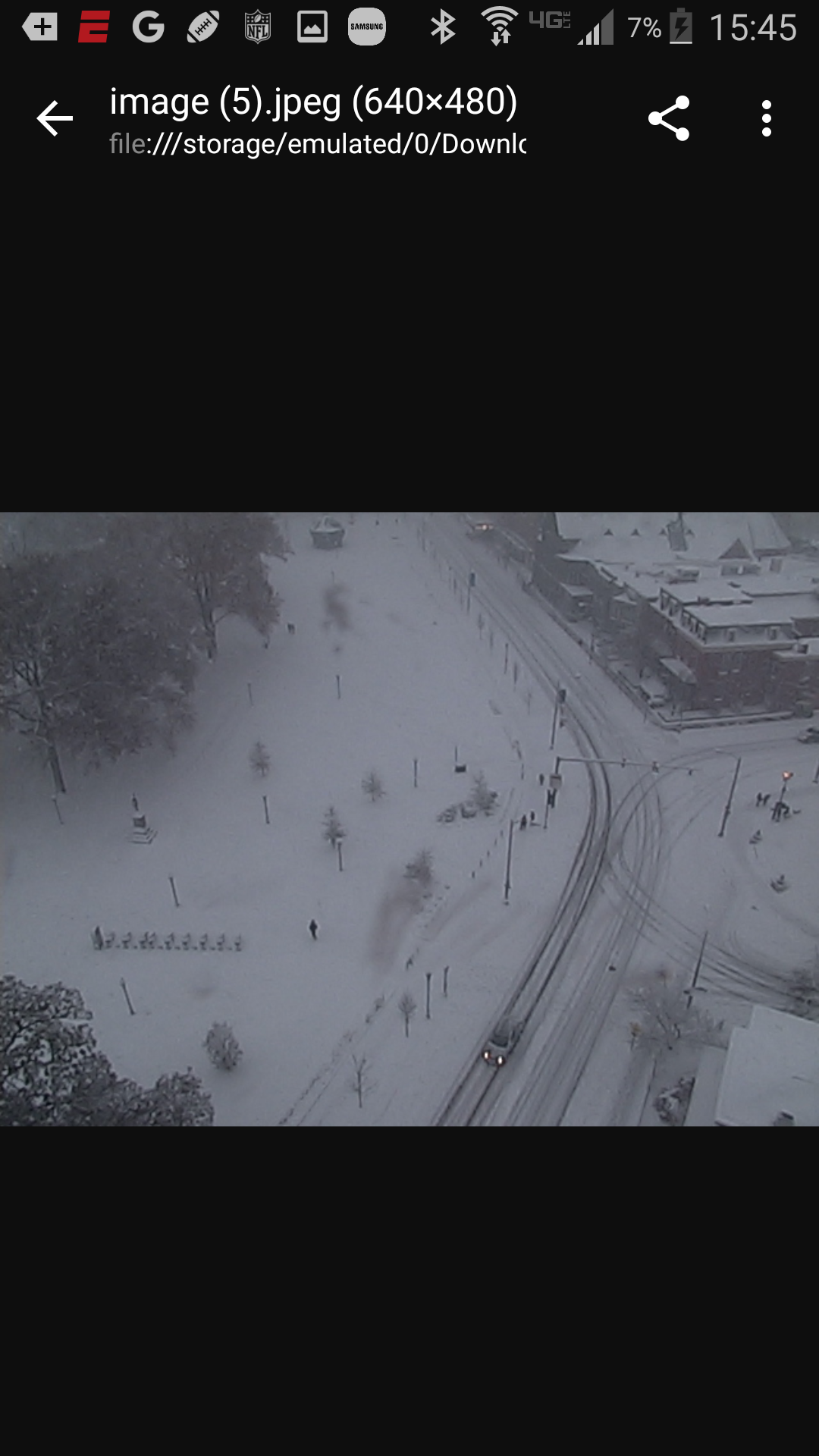
Yep good rates again in Glen Allen.. Pic from ram cam at vcu https://ramcam.vcu.edu/monroe-park.html


-
Even if it does make it up this way we will get some real heavy rates prob right b4 the changeover.. we will see... back to small steady flakes here in Glen Allen for the moment
-
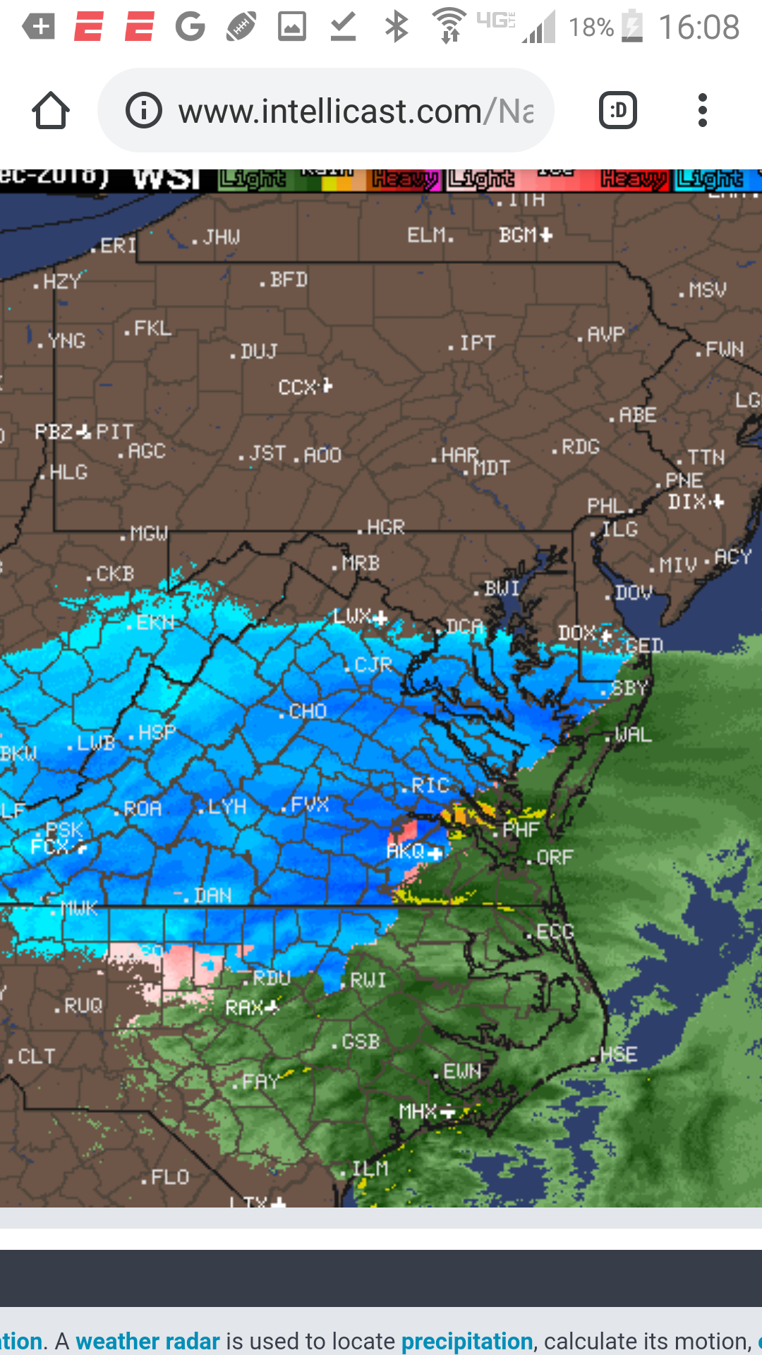
Mix line starting to make its move... anybody in that area?reports?
-
-
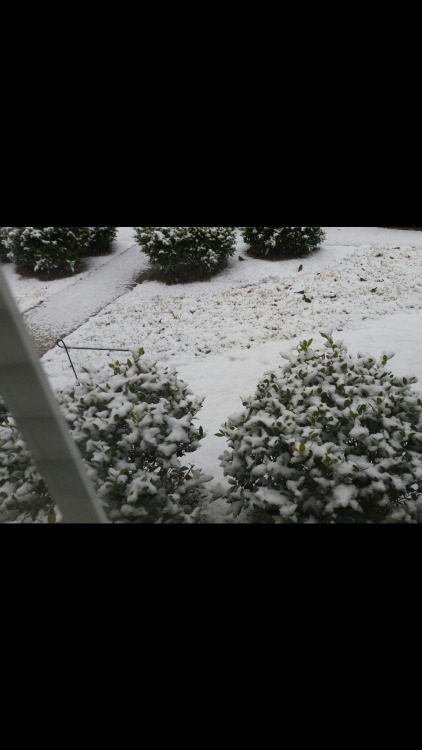
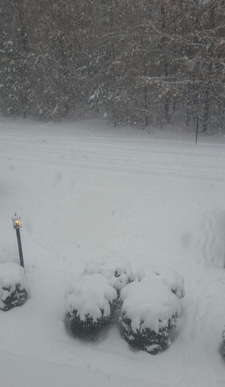
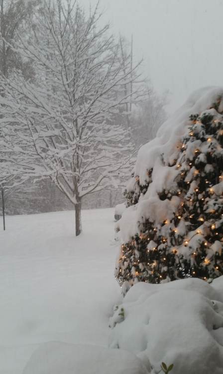
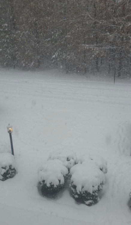
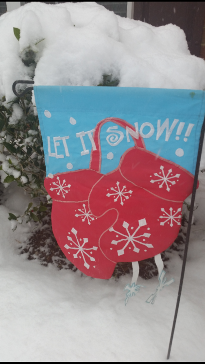
Huge flakes here in Glen Allen this picture dosnt give it justice.. haven't taken any total attempts yet..
-
-
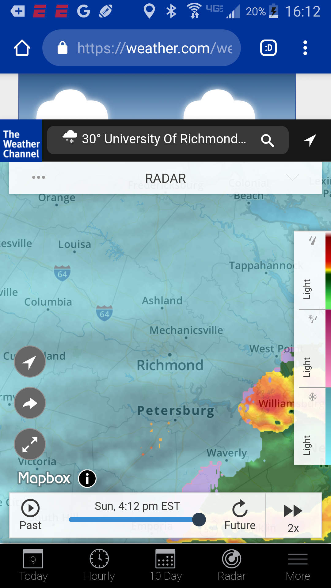
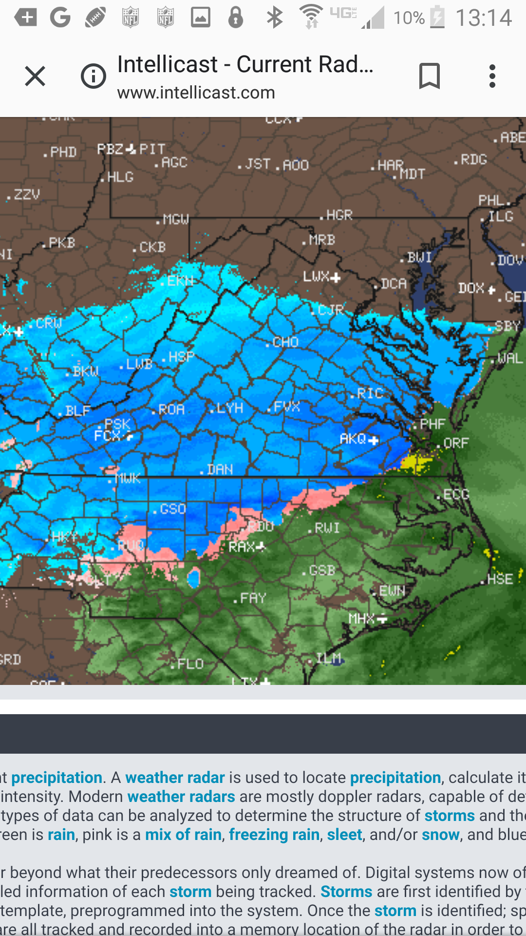
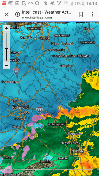
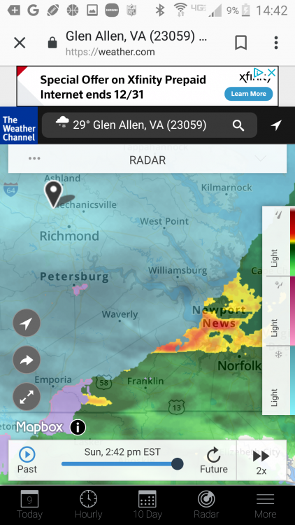
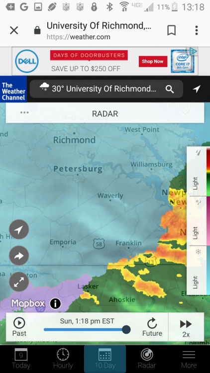
View of where most of the precipitation is
-
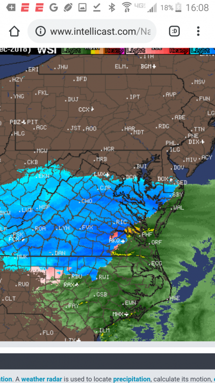
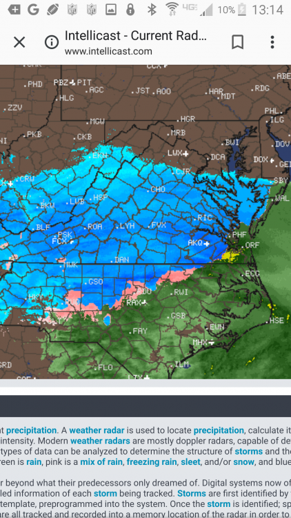
Radar showing mix line still way south.. snow prob will start to pick up even more soon..
-
-

-
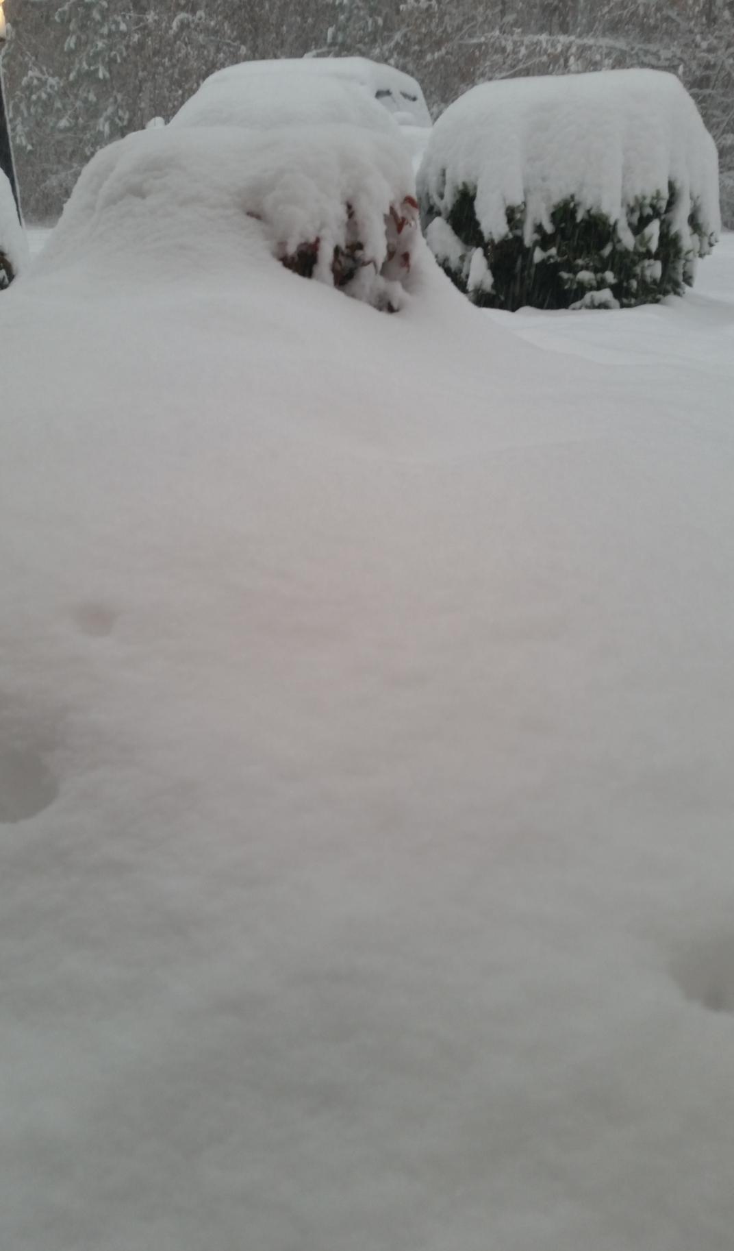
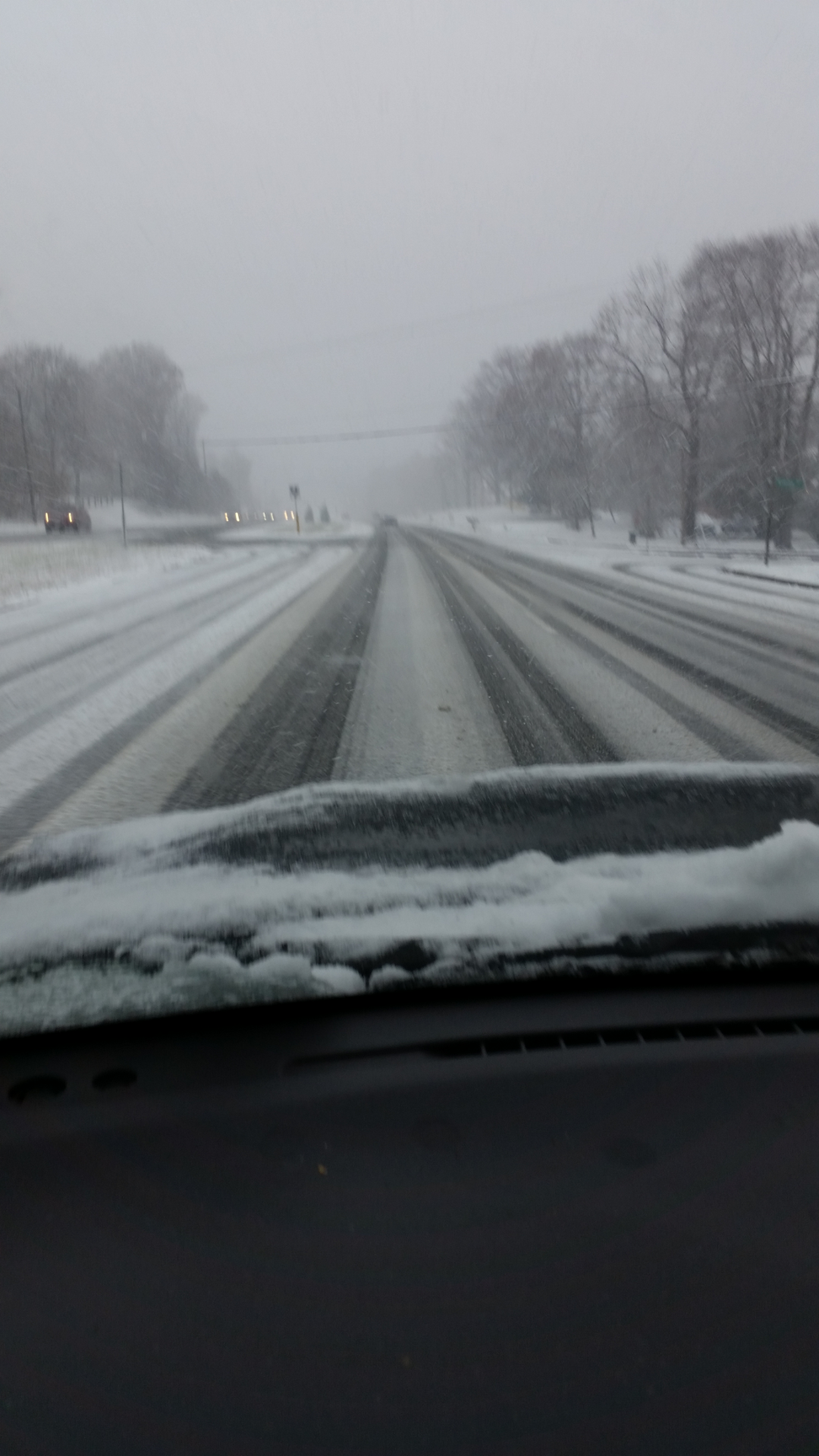
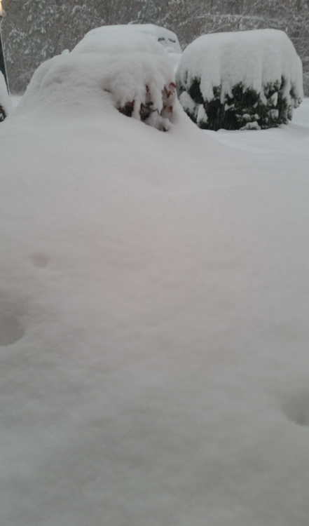
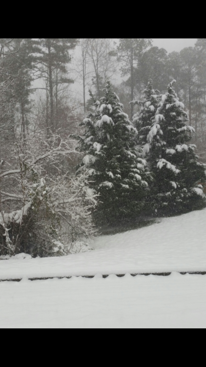
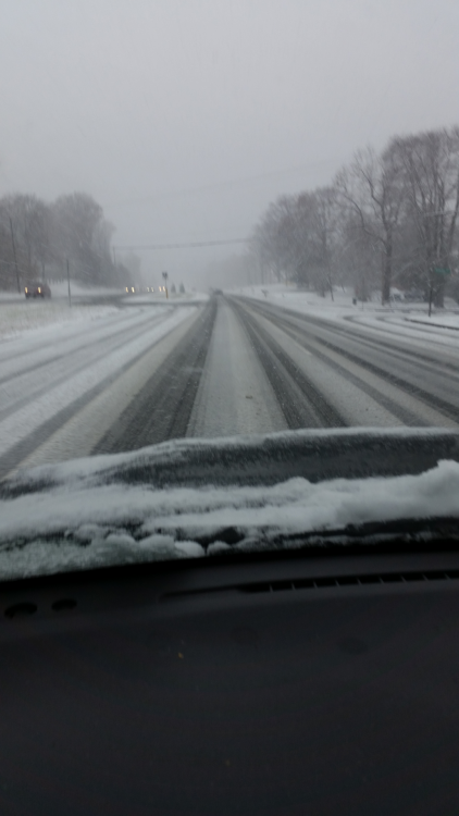
Staples mill rd 45mins ago
-