

powderfreak
-
Posts
80,387 -
Joined
-
Last visited
Content Type
Profiles
Blogs
Forums
American Weather
Media Demo
Store
Gallery
Posts posted by powderfreak
-
-
25 minutes ago, HIPPYVALLEY said:
It’s about time, you should have had measurable weeks ago.

I bet the first week of November down in town is about right to be honest… or at least not outside 1 SD of normal. I feel like less than half Octobers have whitening accumulations, but I’m sure JSpin has data for down low. But I’m not talking a tenth from an intense graupel shower core that’s gone 20 minutes after it falls in mid-October.
-
 2
2
-
-
On the board in town. Taking the 0.1” ha.
-
14
-
-
32 minutes ago, alex said:
Still rain here, but very light.
We are flipping over here in town in the valley.
For all purposes it’s a white rain but it is just dumping precipitation. Feels like 2F away from a true paste bomb. Bet the hill is getting smoked at 1500+.
-
3 minutes ago, Torch Tiger said:
is that your first accumulation near the base? I know you have seen snow..
Second accums at the base. We had about an inch of slop on Saturday AM.
No accumulation to date at home, 750 feet lower.
-
 1
1
-
-
24 minutes ago, dendrite said:
Yeah looks like there could be some decent accums in the slightly higher terrain in Coos and adjacent ME tonight.
Yeah those 1500ft+ spots should clean up. Even 1,000ft out that way.
-
-
Wet snow falling at 1,500ft outside my window.
-
3
-
-
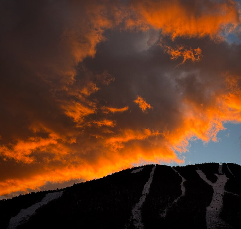
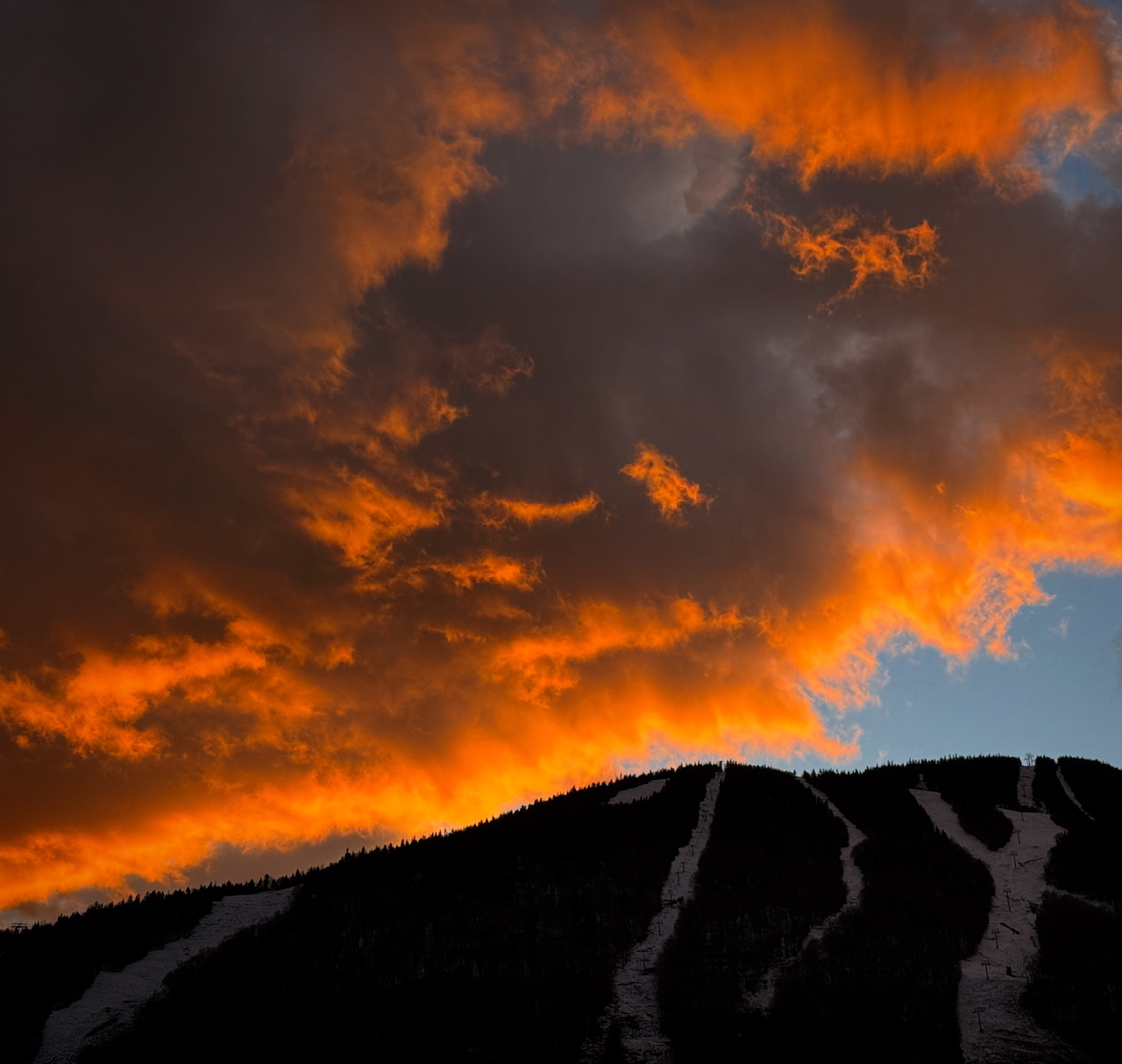
Solid sunset.
-
13
-
 1
1
-
-
1 minute ago, Damage In Tolland said:
What does that have to do with winter? Lol
Your cold fronts after a cutter will be great? lol
-
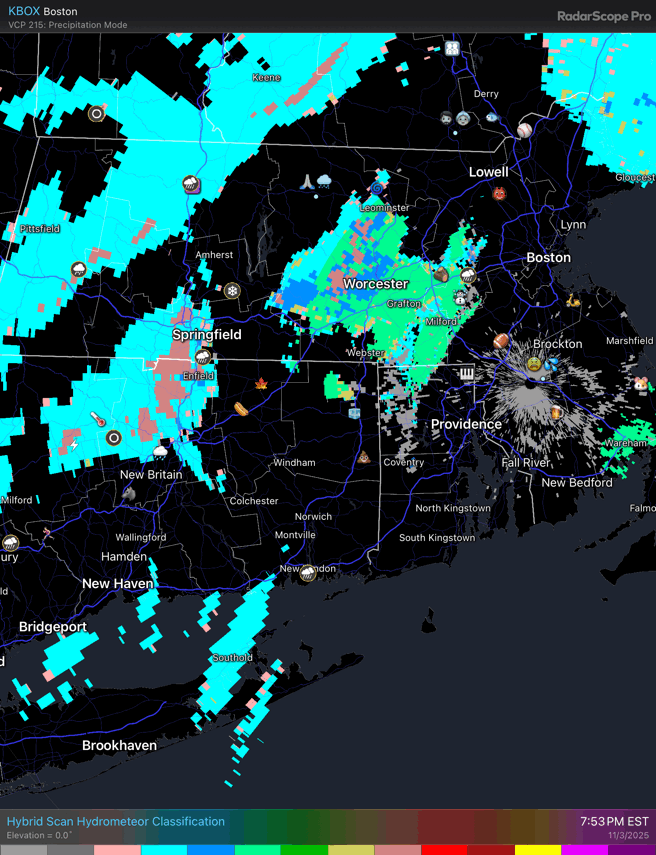
3 minutes ago, dendrite said:
Low freezing levels and convection. Many are seeing some graupel make it to the sfc.

Whats the scale on that product? Or is it as simple as the color coding is p-type?
-
18 minutes ago, Lava Rock said:
looks great. how much and was that from Sat?
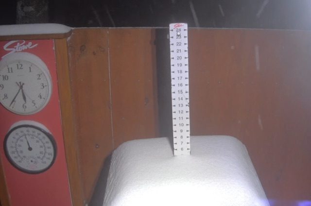
6” at the summit stake for depth.
It looks a lot nicer than it really is (2-6” of dense snow). But in early November the look works.
-
3
-
-
-
18 minutes ago, alex said:
It’s below freezing everywhere here from valley to top of Mount Washington, but it is slightly warmer around 2500 ft
Yeah the only places above freezing here are those 1,000-1,300ft elevations before it goes back below as you go higher. All three spots at 35F are on the lower slopes of the Worcester Range. Might be just the right wind flow mixing them out.
I love all the small nuances.
-
24 minutes ago, alex said:
Down to 25 here. Coldest evening this season, I wonder if we get lower than the lowest we’ve had (19)
27F here at 750ft.
35F at 1,100ft.
 We mount up.
-
26 minutes ago, ChangeofSeasonsWX said:
I know that with cc it's expected that winters will keep getting milder with less snow but it's surprising to me how we also get less tropical and severe than we used to. With a warming climate I would've thought that the opposite would be the case. We rarely get those intense summer time derechos like we used to get in the 90s and same with hurricanes. I wonder what happened? It's like SNE has become a slightly more continental version of Seattle with very little interesting weather year round.
What’s the real return rate on an intense derecho across SNE over the past 50 years though? Same with hurricane hits.
-
4 minutes ago, kdxken said:
Yeah rain and temps in the forties and low '50s I consider cold. Worcester - 2.1 to start the month.
We had a high of 44F yesterday and start +2 lol.
-
1
-
-
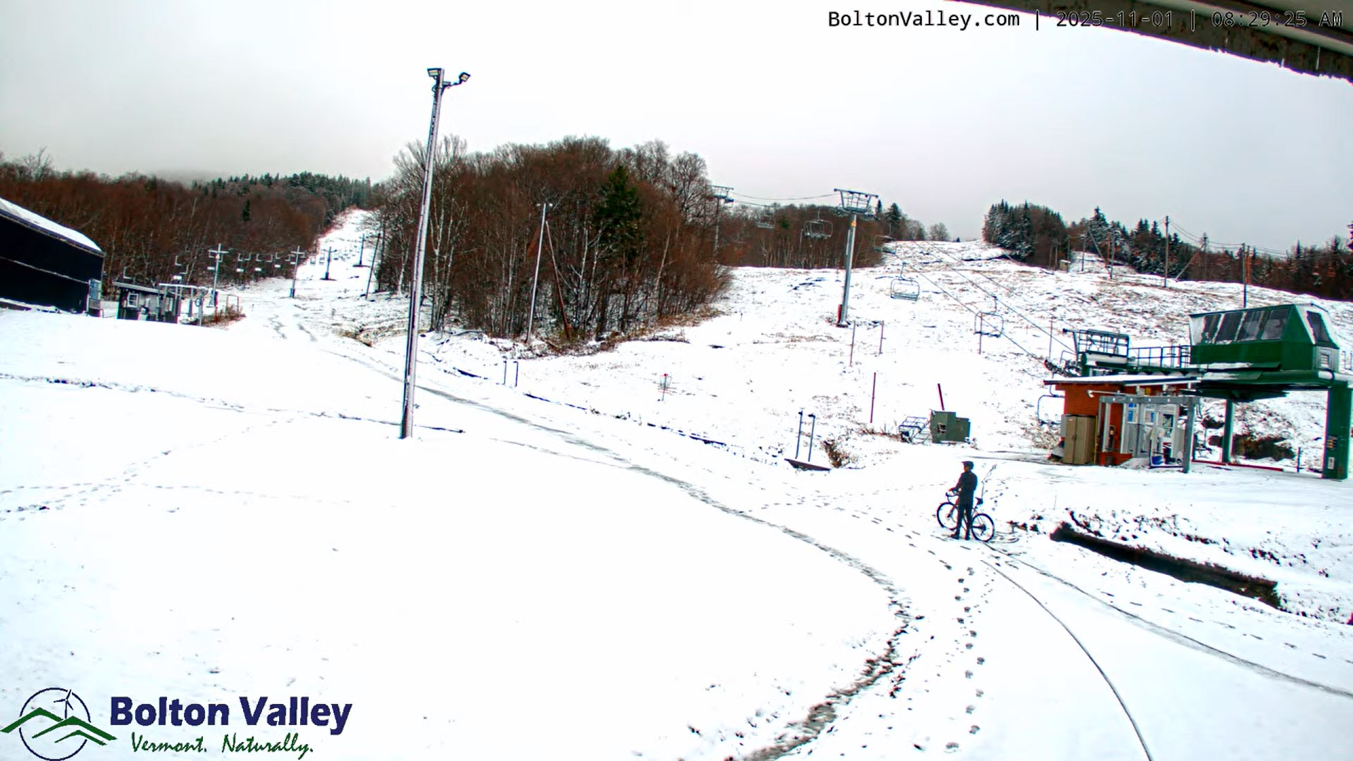
12 hours ago, J.Spin said:
From the Bolton Valley Main Base Live Cam view this morning, it looks like they picked up an inch or two around the 2,100’ elevation from this storm. The summit cam looks like it’s covered in snow, so no views from up there yet.
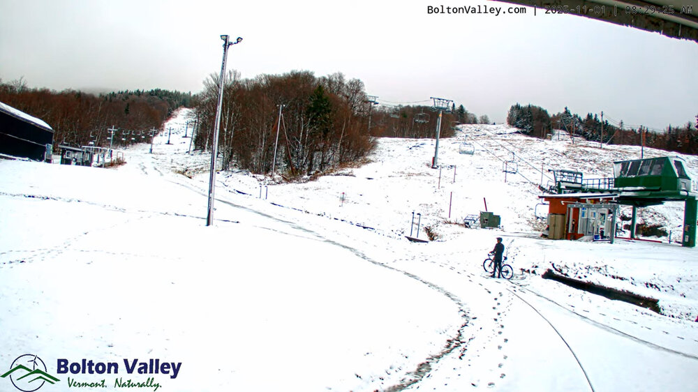
Love this, the guy with the bike. That's the most Bolton Valley thing ever.
-
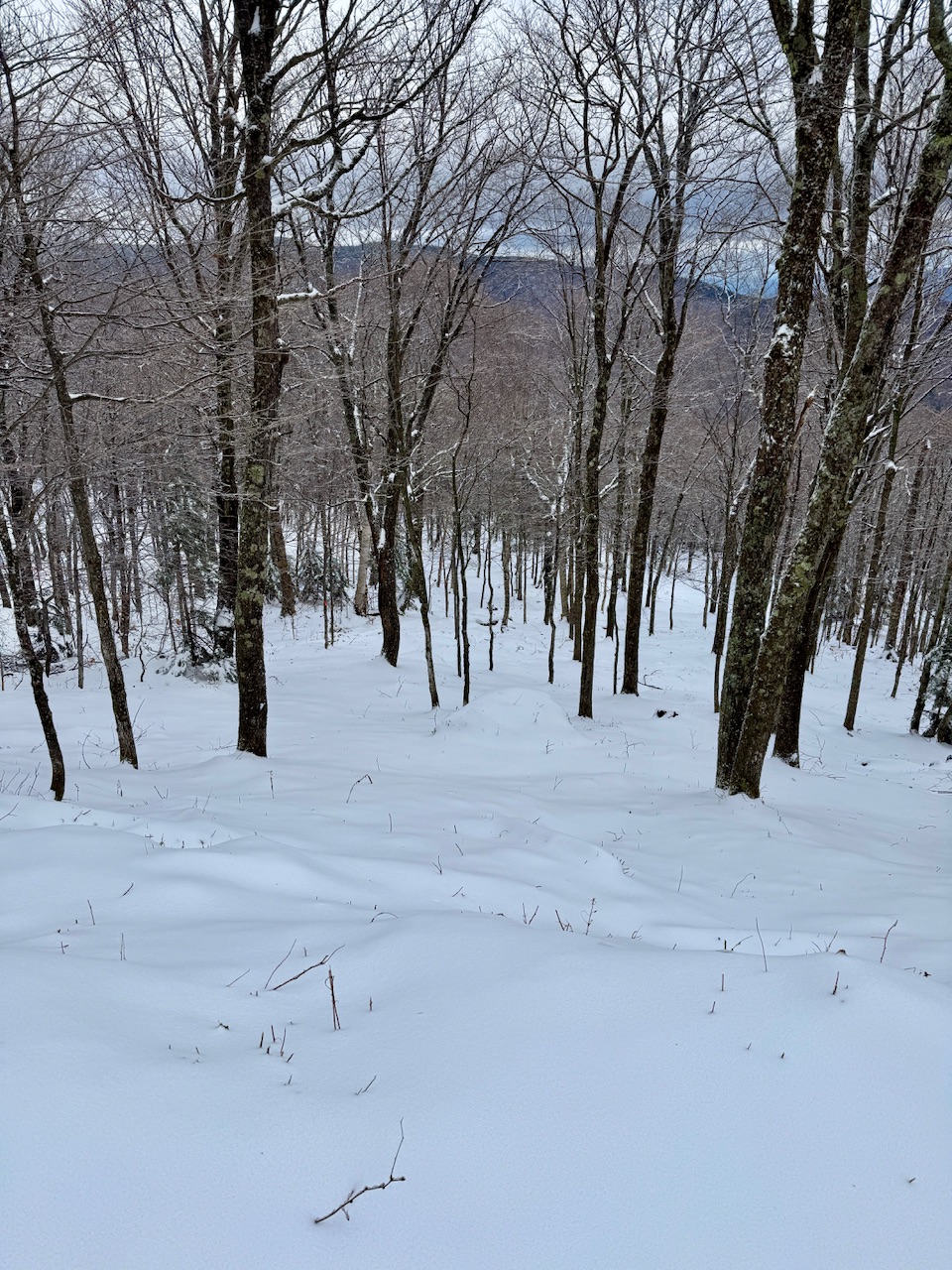
Getting some flurries at home. First flakes. Had some graupel this afternoon but these are actual snowflakes.
-
8
-
-
33 minutes ago, mreaves said:
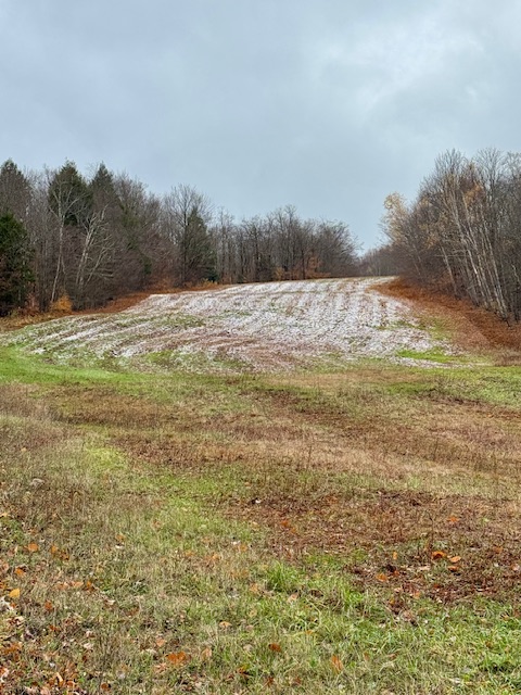
Snow line at 2200’-2300’? That’s what it looked like driving up to Costco.
That photo is 1,300ft or so.
I noticed the snow line on Mansfield’s east side seemed lower than it was through the Winooski Valley and west slopes. Robbins Mountain is 2,000ft and saw no traces of snow visible. Stowe had snow down below the 1500ft base area.
Also went to Costco too…
.
-
1
-
-
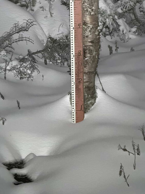
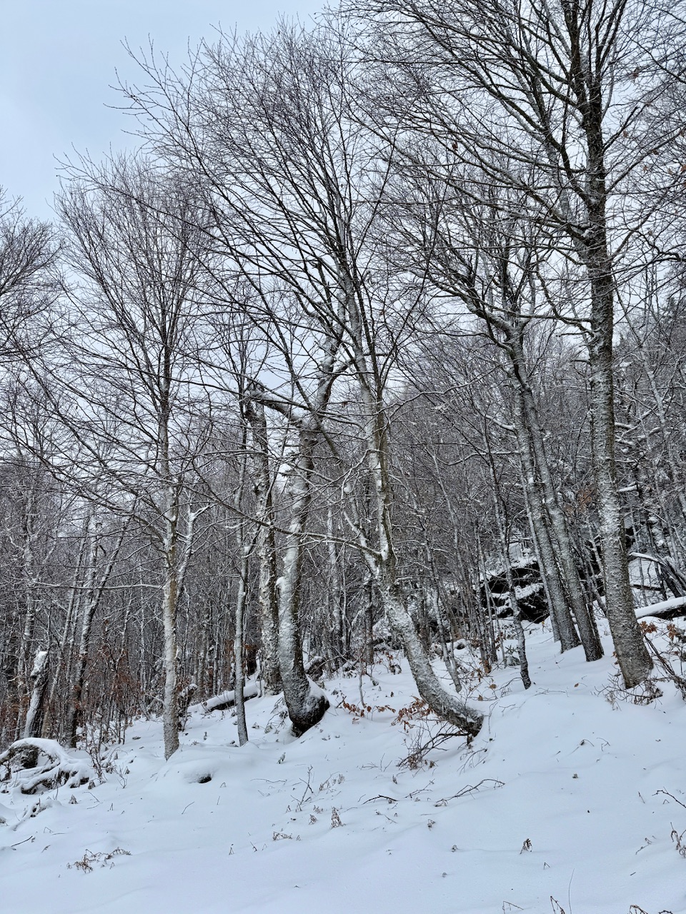
The densest 3-7” ever. Has to be like 5:1 ratios. Feels like sand. So tightly packed together.
-
9
-
-
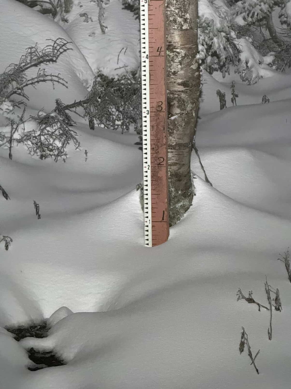
Ended with 5” at 3,200ft cam.
Looked more like 7” up at 3,700ft or ground based.
-
2
-
-
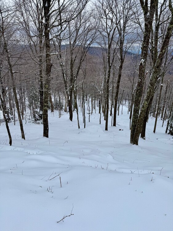
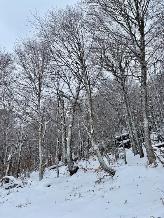
I always find snow lines interesting… like it was just cold enough 50 feet up the field to stick.
-
13
-
1
-
-
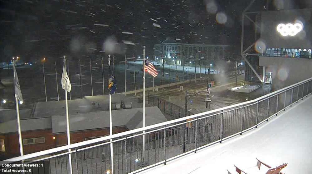
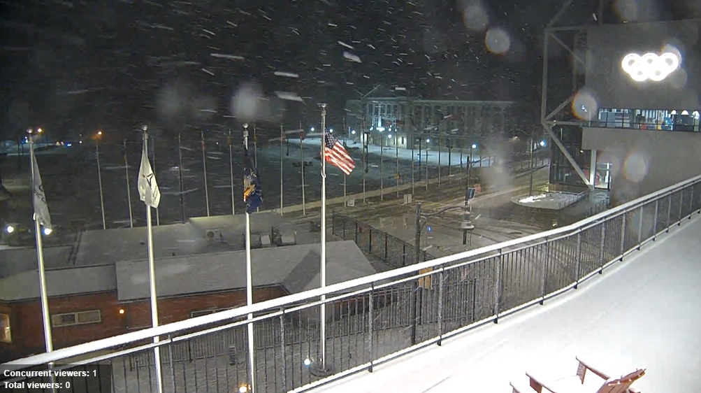
1 hour ago, WxWatcher007 said:
Lake Placid Village at the Olympic Complex is snowy.
-
2
-
-
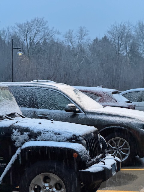
15 minutes ago, WxWatcher007 said:
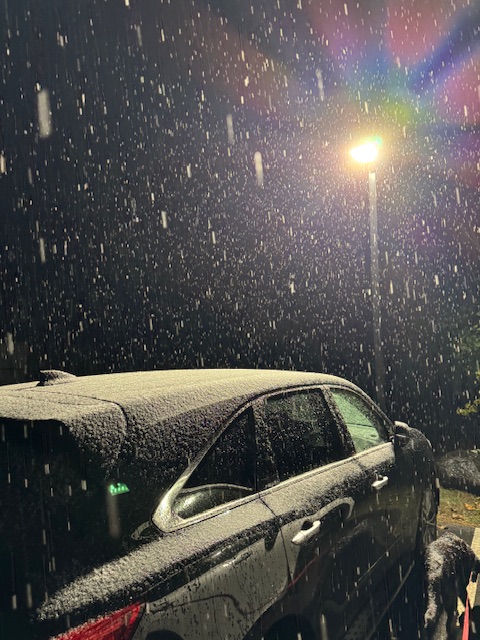
My wife reports a car topper. We're on the board, people!
33.3 at WXW2.
A different world from CT. A completely different world being at that elevation, but in a valley surrounded by big terrain too. Elevational snows and radiational cold mins combined.
-
1
-

November 2025 general discussions and probable topic derailings ...
in New England
Posted
Yeah it’s likely recency bias… at least in town as I’m thinking past decade to 15 years tops. For the base of the ski resort I’d give it at least 1-2 weeks earlier.
But looking at BTV’s 120 year data the average first trace (which includes graupel, etc) is 10/15 and first 1” is 11/17 and first 3” is 12/3. And we are probably 1-2 weeks ahead of them.
So maybe this is about the average time of the first inch instead of first measurable?
I just find the first trace to be dubious sometimes… hail, graupel, etc.