HighTechEE
-
Posts
567 -
Joined
-
Last visited
Content Type
Profiles
Blogs
Forums
American Weather
Media Demo
Store
Gallery
Everything posted by HighTechEE
-
yep? around 1" late tmar, 1-3 more Sunday night? You can do the math if you like: OHZ062-101000- Greene- Including the cities of Beavercreek, Fairborn, and Xenia 619 PM EST Sat Feb 9 2019 ...FLOOD WATCH IN EFFECT FROM MONDAY MORNING THROUGH TUESDAY AFTERNOON... .TONIGHT...Mostly clear. Lows 15 to 20. East winds around 5 mph. .SUNDAY...Partly cloudy with a chance of snow in the morning, then snow and freezing rain in the afternoon. Snow accumulation around an inch. A trace of ice accumulation. Highs in the mid 30s. Southeast winds 5 to 10 mph. Chance of precipitation 100 percent. .SUNDAY NIGHT...Snow, rain and freezing rain likely in the evening, then freezing rain and snow likely after midnight. Total snow accumulation of 1 to 3 inches possible. Ice accumulation of up to a tenth of an inch. Warmer with lows around 30. South winds around 5 mph. Chance of precipitation 70 percent.
-
ILN calling for 2 to 4" tomorrow night into Monday morning in the Dayton area, then flooding again on Tuesday and again Thurs/Fri, Uuuuuggggghhhh!
-
Only 2.75" IMBY, technically a bust for the 3 to 5" ILN raised our totals to last night
-
How often in SW Ohio can you say "isentropic lift" at 11 degrees? and see it on the ground!
-
Starting to snow in SW Greene Co now, kind of scary when it starts snowing when 'predicted'...
-
LMAO, software needs a little tweaking!
-
Yep, it was one of the new winter items they announce recently. I think the big wrecks on I-75 from squalls last winter got them thinking about it.
-
Ut oh, I have a business trip to Boston the week of the 11th, guess when their blizzard of '19 will hit!
-
Wow, you know this is one b1+@# of a winter when we're supposed to have 1 or 2 inches of snow (and the 850 0z well south of the Ohio river) and the 2M temps STILL rise into the mid 30s and it rains in the middle of the night! oh well, its OHIO!
-
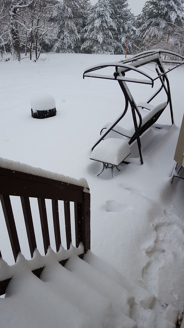
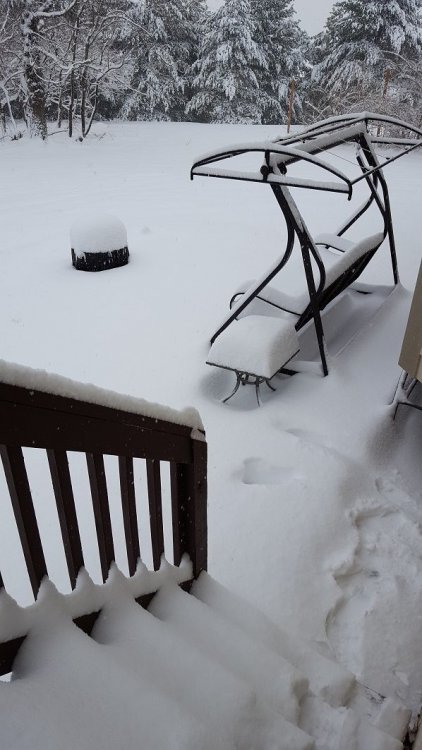
Hi all, was out of town since last Thurs in the middle of Hocking Hills for the annual winter hike, got drowned during the hike Sat temps hit mid 40s, we never saw the change over there until about midnight then got pounded. Looked like 6" fell in about 3 hours and our cabin was tucked down in a valley were we had very little wind, we have a toboggan run of a driveway so it was mid afternoon before we got out of there yesterday!
-
Dudes! Jym Ganahl is in the house! Edit, nope not him, a fan...
-
All of the steering currents above 10k ft are all a strong NW to SE flow, i.e. from N. Dakota right over Ohio to NC, so how are the models bringing this low from SW to NE (almost at a 90 degree angle) right over Ohio? Normally I'd be afraid of it going from Colorado across the TN valley to NC and a whiff of pixie dust N of the Ohio river.
-
LOL, exactly what I was thinking! Doesn't a good number of the models for this coming weekend have the low going right over Ohio i.e. tons of front end cold rain then big cold wave with very little snow?
-
Ditto 10" IMBY! The way radar looks we'll be closing in on a foot this morning!
-
ILN adds a bunch more counties to the WSWarning...
-
Not right now, just under moderate snow I would guess. From 5 to 6pm was very heavy snow, 1.75" new during that hour, this past hour only 0.2" of new snow fell as it went over to sleet & fr rain for a short time. Back to all snow now with strong radar echoes in Warren Co moving NE into Greene now so should get heavier again soon.
-
At 6pm up to 5.5" IMBY now, really came down hard over the past hour with huge flakes some maybe 2" across, but now mostly sleet cutting into totals/compacting.
-
Update, took several measurements and I have an average of 3.75" now and two of those fell in the last 2 hours (3 to 5pm) and still snowing just at hard! Has anyone thought there might be some thunder snow when that deeper moisture in W.KY gets here and the cold air holds out tonight?
-
Made it to 2" and poof, dry slotted for the rest of the afternoon, unless it fills back in somehow.
-
Yea I was watching radar& latest models and it looks like the heavy snow axis has shifted 50 to 100 miles north which means north of I-70 is the sweet spot now, my 4 to 8" could be reduced to less than 3" now here in Greene Co.
-
1" IMBY so far, snowing lightly ATM.
-
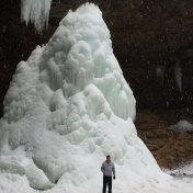
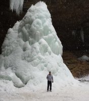
I make this post every year, next weekend the 19th is the Old Man's/Ash Cave Annual Winter Hike in Hocking county the state puts on and right now there is zero snow and ice formations. This is our 30th year in a row renting a big cabin/lodge and we wish every year to get snowed in while we're there (i.e. we get back to Dayton/work when we get back)! lol PS - we missed by 1 day back in Jan of '96 as that years big storm hit the Monday after we got home and dumped 2ft in Hocking county that would have been perfect!
-
Ok, yea its the 18z GFS, but its pretty 12/20-21 :
-
Hmm, last night forecast was for less than a half inch, woke up to 2 full inches on elevated surfaces??? Ok, pushed my season total all the way up to 2.5"!
-
Just found out Eric Elwell is leaving Ch7 WHIO here in Dayton next month to go back to Columbus, not sure where maybe Ch10 WBNS since he worked there briefly before and the old Ohio News Network ONN.