CoastalWx
-
Posts
176,943 -
Joined
-
Last visited
Content Type
Profiles
Blogs
Forums
American Weather
Media Demo
Store
Gallery
Everything posted by CoastalWx
-
Nothing is like that week.
-
Pop, locking, and dropping here. I have stuff emerge with temps in the 20s all the time. Just needs sun during the day.
-
Should be a pants tent week aside from Wednesday.
-
Buns, buns, everywhere are buns.
-
Was a frosty 32 here this morning. Things really popping here as far as plants go.
-
We’ll see if it lasts.
-
I’m hearing that the peepers are out.
-
They started hitting it harder that morning and afternoon. I mean by the noon cast they had to hit it harder since it flipped west of Boston already. Still not even close though lol. Hopefully the crowd on here that’s younger than 30yrs old can get something like that again. It’s just an all timer in so many ways. I don’t get bored talking about it to this day.
-
That it is.
-
I had more snow that winter. Every storm seemed to overperform here that winter and ended with a nearly 17” March bomb.
-
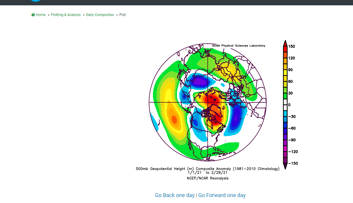
Yeah near avg here. Nothing spread out and forgettable winter. 18-19 was more exciting than this one. At least Feb 2021 was a good month.
-
May as well cut down the oaks and make the lumber ourselves.
-
I’m sure this was posted, but watch the first 5 minutes with Rosenthal and Burbank. Just pure raw weenieism and great details. Love the graphics too. Also note how underestimated the snowfall was, but who could blame them. I love the comment from Rosenthal. “One moose of a storm.”
-
Kids destroying lawn, so that may take a back seat. Walkway will hopefully be added this year and help in the high traffic areas.
-
With a last gasp effort, winter 20-21 refuses to give up the ghost
CoastalWx replied to moneypitmike's topic in New England
Man that would be epic. -
With a last gasp effort, winter 20-21 refuses to give up the ghost
CoastalWx replied to moneypitmike's topic in New England
I didn’t say snow? I said watch for that period and that was two days ago. -
I'm glad you're station is online to see you 10 cooler than BDL.
-
I mean I don't see the HC monster here. And the ridging in the PAC with that trough in SW Canada likely would be more active 8/10 times here, Axis of anomalous snow was NJ to MD.

-
December storm was wasn't all that progressive. And also March 2018 had like 4 beasts that month. That's not true at all. You've got to look at the ENSO state too. I see a lot of recent confirmation bias here.
-
Couple of rain chances, and watch the NE winds.
-
With a last gasp effort, winter 20-21 refuses to give up the ghost
CoastalWx replied to moneypitmike's topic in New England
I posted that song 3 weeks ago in jest, but who would have known. -
We had cold south and a wavy pattern all January and part of Feb. Definitely not the Hadley Cell monster with a massive EC ridge. Hell suburbs of DC have well AN snow.
-
Not really.
-
With a last gasp effort, winter 20-21 refuses to give up the ghost
CoastalWx replied to moneypitmike's topic in New England
Some outlets had 2-5. I had up to 1" at BOS and even that was a fail. -
With a last gasp effort, winter 20-21 refuses to give up the ghost
CoastalWx replied to moneypitmike's topic in New England
This week cold AF.