dendrite
-
Posts
74,750 -
Joined
Content Type
Profiles
Blogs
Forums
American Weather
Media Demo
Store
Gallery
Everything posted by dendrite
-
Looks like this snow cover may last into Thursday.
-
Snow brings out so much anger here. Thankfully peaceful dewy times await.
-
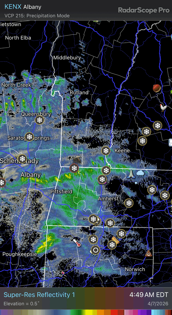
32.8° SHSN Ramping back up
-
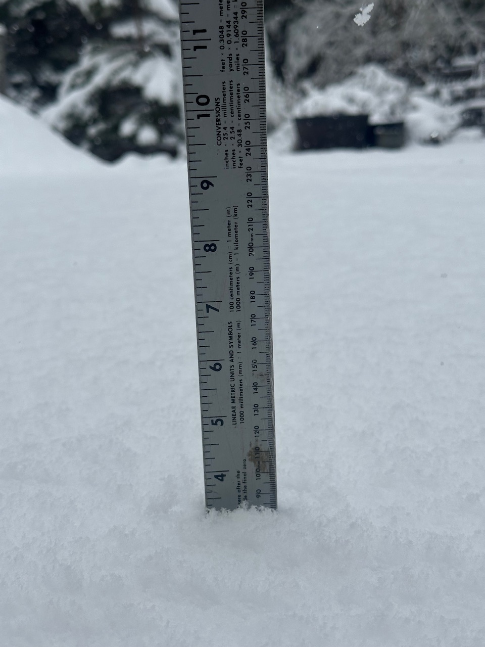
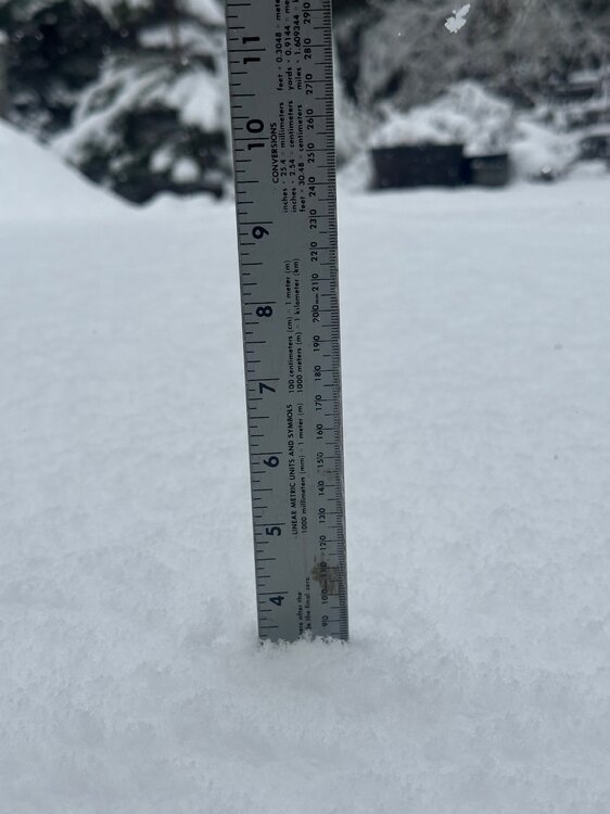
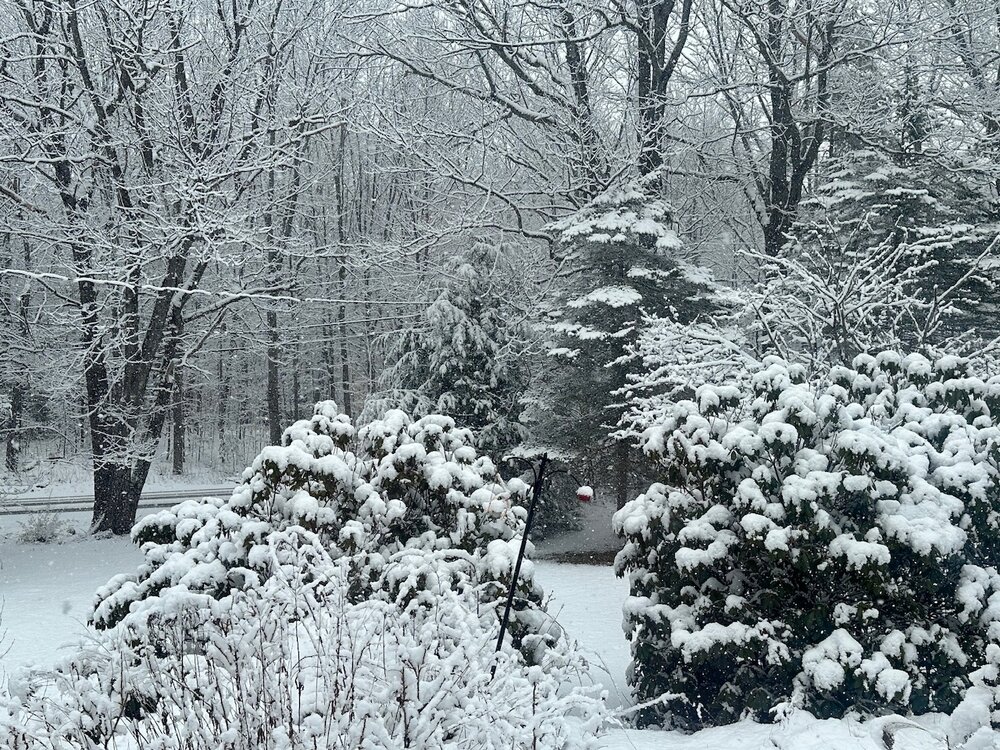
3.3” and counting
-
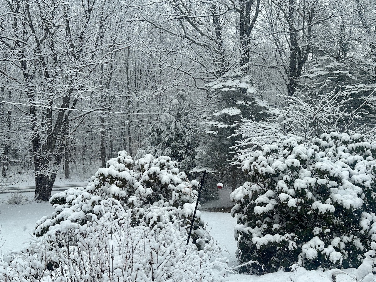
Deep deep winter. Birches getting saggy.
-
I was gonna say. It’s rare that it doesn’t…even in Brattleboro.
-
You have more. Better echoes have been down there. Nearing 2” now IMG_8879.mov
-
30.9° SN 1.8”
-
30.7° SN 1.2” and counting
-
1.5” unslanted?
-
Trying to enjoy this last snow until Nov ‘27
-
29.8° SN Poundtown now
-
30.5° -SN Decent dendritic aggregates
-
That banding looks interesting for a bit later.

-
SNH getting lit up.
-
+3C ONI is what we want
-
It was pretty much +2 to +3 up here. DCA +5, PIT +8, CVG +9, STL +8, OKC +10, DEN +10, PHX +12.
-
A few flurries here. 36°
-
Definitely a drier look on ensembles…especially SNE.
-
It’s a nasty gusty sheet drizzle right now. 41°
-
Thundah
-
37.7° Heavy, heavy rain shower right now
-
RGEM and Euro are a little interesting Tuesday rt2-north into S NH.
-
Geno is like accordion man when he doesn’t get the jackpot.