buckeyefan1
-
Posts
13,476 -
Joined
Content Type
Profiles
Blogs
Forums
American Weather
Media Demo
Store
Gallery
Everything posted by buckeyefan1
-
Rainbows

-
Love the paint job!!
-
Ya'll can add me to the group that missed the rain today I haven't watched a beautiful line of severe warned storms split my backyard like this since I left CAE. I'll gladly take the consolation prize of my temp going from 99 with a HI of 114 to a comfortable 76 degrees though
-
Currently 102 with a HI of 117
-
True Living in the south, summer begins for me in March
-
A handsome wood duck

-
These are some of my favorite early summer flowers
-
My first non stop, lightning popping, earth shaking thunder, dark as midnight, extreme tropical downpour of the year The only thing missing was the wind
-
Indeed Sloppy seconds ftw!
-
All of the ensembles are showing something brewing in the gulf to kick off the season
-

Mid to Long Range Discussion ~ 2022
buckeyefan1 replied to buckeyefan1's topic in Southeastern States
All the ensembles have something brewing in the gulf to kick off the season -
Mid to Long Range Discussion ~ 2022
buckeyefan1 replied to buckeyefan1's topic in Southeastern States
Hopefully a nice enhancement to the needed rain this week -
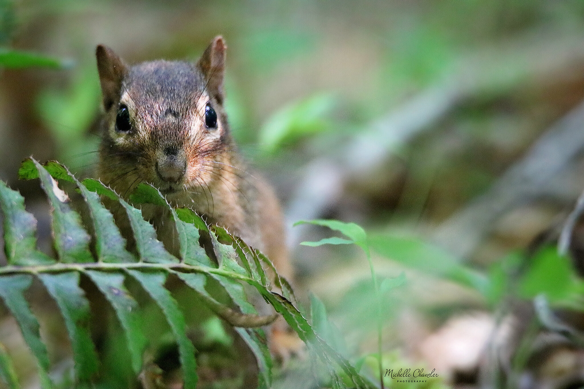
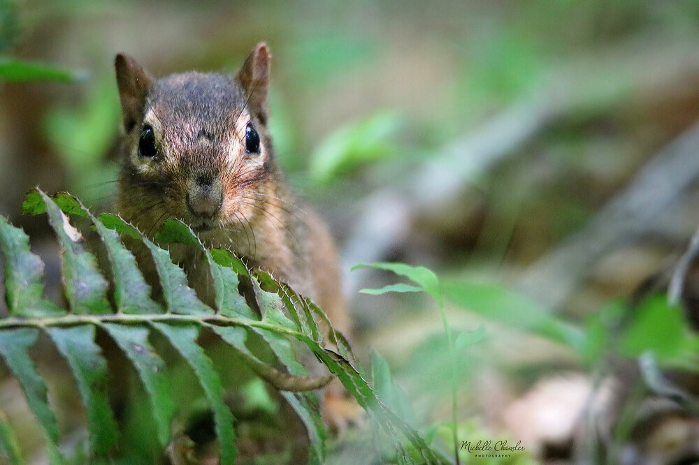
This adorable chipmunk was watching me watch him
-
-
I can see why that is your favorite morning tree
-
Mid to Long Range Discussion ~ 2022
buckeyefan1 replied to buckeyefan1's topic in Southeastern States
Tropical trouble on the horizon? GSP .LONG TERM /SUNDAY NIGHT THROUGH THURSDAY/... As of 145 PM EDT Thursday: The upper low and surface cyclone fall out of phase as they drift off the coast, becoming vertically stacked by Monday evening. Ridging intensifies over the eastern CONUS, while a broad subtropical high begins to stall the stacked low off the Carolina coast on Tuesday. Model trio consisting of the GFS, ECMWF, and CMC presently depicts the low reversing course and nudging back westward, then drifting down the Carolina/Georgia coast from midweek onward. This results in an influx of moisture, possibly for an extended period, but the evolution of the system remains somewhat in question as do specific rainfall totals; ensemble depictions of QPF vary wildly from Thursday onward, with some producing appreciable rainfall as early as Thursday morning and others holding off on midweek rain but hinting at additional precipitation after the end of the forecast period. Temperatures generally remain near-normal through the extended forecast at this time. However, especially after Tuesday the evolution of the retrograding low could have a large impact on temperatures depending on how things play out. -
Red is my favorite color

-
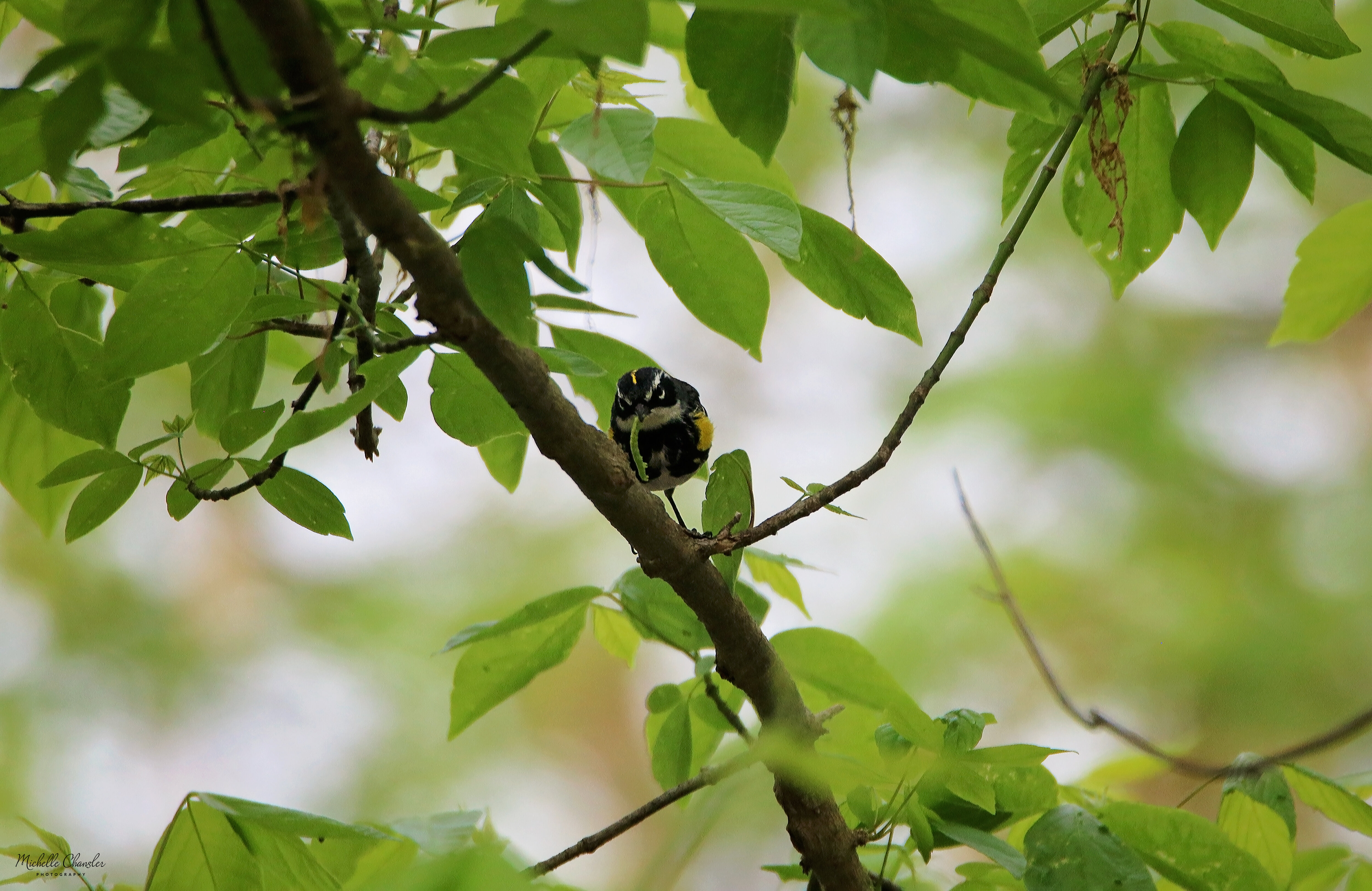
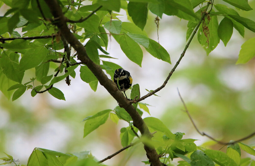
Yellow rumped warbler with a snack
-
This is beautiful
-
Mid to Long Range Discussion ~ 2022
buckeyefan1 replied to buckeyefan1's topic in Southeastern States
Still looking good and hopefully this summer will be closer to average than not -
Baby toes

-
I love these! Red and black are my favorite colors
-
Mid to Long Range Discussion ~ 2022
buckeyefan1 replied to buckeyefan1's topic in Southeastern States
Right!? Unless it's cooler than average temps in May, and that looks like an excellent possibility -
Mid to Long Range Discussion ~ 2022
buckeyefan1 replied to buckeyefan1's topic in Southeastern States
I'm loving these cold fronts -
58/80 today and the front can't come soon enough. I'm looking forward to temps in the mid 60's next week