colonel717
-
Posts
2,917 -
Joined
Content Type
Profiles
Blogs
Forums
American Weather
Media Demo
Store
Gallery
Everything posted by colonel717
-

Pittsburgh/Western PA WINTER ‘25/‘26
colonel717 replied to Burghblizz's topic in Upstate New York/Pennsylvania
Enjoy the last of the warm up. Looking like Sunday could be a couple of heavier squalls. Just have to luck out and be in the right line. Who knows where that would be at this time. Some examples below. Models still trying to figured out the period mid-next week and beyond. -
Pittsburgh/Western PA WINTER ‘25/‘26
colonel717 replied to Burghblizz's topic in Upstate New York/Pennsylvania
Once we make it through this warm-up, looking like Sunday/Monday could bring some post frontal snow squalls. We have done well with those so far. Then mid-week a little bigger system is possible. Canadian 12z run has a nice 4+ inch northern stream storm. If we can get some phasing could improve those total. GFS had a bigger storm for 15th on 6z but lost the phasing on 12z. ICON at end of it's run looks like it has good potential. We have some time to figure that out but nice to start seeing things pop up on the models. -
Pittsburgh/Western PA WINTER ‘25/‘26
colonel717 replied to Burghblizz's topic in Upstate New York/Pennsylvania
Remember when... https://www.wtae.com/article/pennsylvania-blizzard-1996-30-year-anniversary/69924485 The Weather Channel video -
Pittsburgh/Western PA WINTER ‘25/‘26
colonel717 replied to Burghblizz's topic in Upstate New York/Pennsylvania
As we wait hopefully not several weeks for next snow, we have small disturbance overnight Saturday which can bring maybe an inch or so. -
Pittsburgh/Western PA WINTER ‘25/‘26
colonel717 replied to Burghblizz's topic in Upstate New York/Pennsylvania
Snowing pretty good now -
Pittsburgh/Western PA WINTER ‘25/‘26
colonel717 replied to Burghblizz's topic in Upstate New York/Pennsylvania
EURO is showing almost 1-2 inches for Sunday. -
Pittsburgh/Western PA WINTER ‘25/‘26
colonel717 replied to Burghblizz's topic in Upstate New York/Pennsylvania
I would think you had more than that if I had around 9. Snow sublimation has eaten a lot of my snow. -
Pittsburgh/Western PA WINTER ‘25/‘26
colonel717 replied to Burghblizz's topic in Upstate New York/Pennsylvania
Looks like Snow moving in. Have flakes at my house. -
Pittsburgh/Western PA WINTER ‘25/‘26
colonel717 replied to Burghblizz's topic in Upstate New York/Pennsylvania
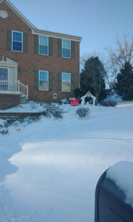
I measured 20.225 in. IMBY for December, total for the year 21.9 in. That is 50% of our yearly average.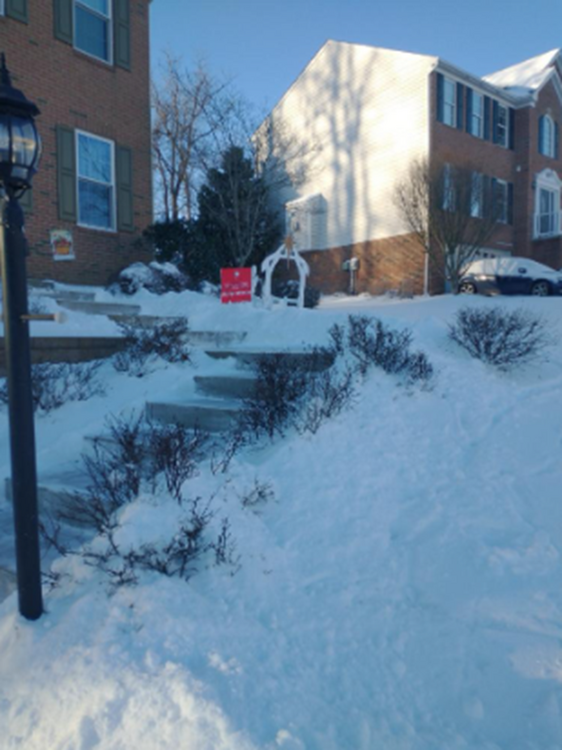
-
Pittsburgh/Western PA WINTER ‘25/‘26
colonel717 replied to Burghblizz's topic in Upstate New York/Pennsylvania
It was hard to come up with a final total with the wind. I am going with 3.75. I was out filming with my phone and it crashed after about 10 minutes so I don't have the video from the best part. Got some pics from towards the end.
-
Pittsburgh/Western PA WINTER ‘25/‘26
colonel717 replied to Burghblizz's topic in Upstate New York/Pennsylvania
That was awesome to be out in. I measured 3.5 so the squall gave me over an inch. Still ripping. -
Pittsburgh/Western PA WINTER ‘25/‘26
colonel717 replied to Burghblizz's topic in Upstate New York/Pennsylvania
How much do you think you got from the squall -
Pittsburgh/Western PA WINTER ‘25/‘26
colonel717 replied to Burghblizz's topic in Upstate New York/Pennsylvania
All I hear are fireworks...haven't seen any reports of thunder. -
Pittsburgh/Western PA WINTER ‘25/‘26
colonel717 replied to Burghblizz's topic in Upstate New York/Pennsylvania
I'll be up and will be going out when it comes through. -
Pittsburgh/Western PA WINTER ‘25/‘26
colonel717 replied to Burghblizz's topic in Upstate New York/Pennsylvania
Only have 2.3 so far. I just shoveled so I can tell what the squall brings -
Pittsburgh/Western PA WINTER ‘25/‘26
colonel717 replied to Burghblizz's topic in Upstate New York/Pennsylvania
We need a countdown ball for the squall line. -
Pittsburgh/Western PA WINTER ‘25/‘26
colonel717 replied to Burghblizz's topic in Upstate New York/Pennsylvania
North of city def winners of this storm. Should get around 5. I am only at 1.75 here. -
Pittsburgh/Western PA WINTER ‘25/‘26
colonel717 replied to Burghblizz's topic in Upstate New York/Pennsylvania
Lots of dry air working in. Hope the squall line stays together. Could be an inch with that and what's behind it. -
Pittsburgh/Western PA WINTER ‘25/‘26
colonel717 replied to Burghblizz's topic in Upstate New York/Pennsylvania
Come on down. watching the football game. -
Pittsburgh/Western PA WINTER ‘25/‘26
colonel717 replied to Burghblizz's topic in Upstate New York/Pennsylvania
Just shoveled an inch. Only snowing very lightly. Just doesn't have a big snow feel out there. Unless rates really increase getting maybe 1/3 inch per hour rates won't get me to 4 inches. -
Pittsburgh/Western PA WINTER ‘25/‘26
colonel717 replied to Burghblizz's topic in Upstate New York/Pennsylvania
Maybe another small clipper tomorrow night. -
Pittsburgh/Western PA WINTER ‘25/‘26
colonel717 replied to Burghblizz's topic in Upstate New York/Pennsylvania
Im in this little screw zone -
Pittsburgh/Western PA WINTER ‘25/‘26
colonel717 replied to Burghblizz's topic in Upstate New York/Pennsylvania
Radar looks great. Hope we all can reach at least 4 inches. -
Pittsburgh/Western PA WINTER ‘25/‘26
colonel717 replied to Burghblizz's topic in Upstate New York/Pennsylvania
Hmmm...Just flakes here -
Pittsburgh/Western PA WINTER ‘25/‘26
colonel717 replied to Burghblizz's topic in Upstate New York/Pennsylvania
Radar starting to blossom. Looks like it may start with brief period of freezing rain