

wxeyeNH
-
Posts
9,667 -
Joined
-
Last visited
Content Type
Profiles
Blogs
Forums
American Weather
Media Demo
Store
Gallery
Posts posted by wxeyeNH
-
-
87/769F awaiting the cool air...
I wanted to give an update about the 81.8F dew that I reported 2 days ago. I have one weather station, my Davis Vantage Pro2. It is on a 2m tripod out in the field. For years, I have used 2 standard consoles in different places of the house. Several months ago I decided to upgrade and bought their new LED monitor. I put one of the standard consoles away to use as a backup in the future.
The new console works fine. The temperatures on the new and old console is the same. The new console is located in our sun room where I spend most of my time. It recorded that 81.8F dew. Later in the day I noticed my old console was reporting a dew about 2F lower. Brian explained they ping the station at different times so perhaps that was why. Yesterday I dug out my extra old console and plugged it in. Just like my other old one the dews were about the same and remained that way for the rest of the day while the new console was always about 2F higher. I called Davis and they were stumped. I did figure out to go into the advance settings and lower the outside humidity display to match the other two. So now everything is in sync, but it is weird.
-
 1
1
-
-
1 hour ago, CoastalWx said:
PWS dews are typically higher for local reasons like vegetation and not necessarily representing a well mixed atmosphere. But I’m pretty sure that’s the highest I’ve ever had. Maybe tied.
It was me that reported that my Davis Vantage Pro 2 reported a 81.8F dew at 2:45pm. I questioned that because it just intuitively seemed too high. Unless you're in a cornfield out west, you just don't see dews that high. Then I discovered something just now. I have 2 consoles reporting off my 1 station but the new LED console is showing a dew 2F higher than my older Davis console in the other part of the house. So I was watching the new LED console. Why would 2 consoles report different dews off of the same station. All other parameters seem correct? Any ideas? In any event, I'm going to go with the old console. In that case, my max dew would have been 79.8F
-
Guys, I'm curious if you think my obs could be accurate. I don't trust what I am seeing. My Davis Vantage Pro is 2m high in my field on grass not near any manmade structure with scattered smaller fruit trees around. Remember I'm at 1100 feet in Central NH
Currently at 3:10pm 93.3/79.3 but....
At 2:44pm the temperature was 93F and the dew point was 81.8F giving me a heat index of 115.2F according to my Davis display. Could that be real? It seems overdone?
-
2pm KLEB 97/77F Do you think this is real? Maybe because I'm 35 miles due east and higher and I'm at my highest heat index ever. 92.6/79.5
-
88.1F Dewpoint 80.1F I have never seen an 80F dew in my 35 years of living up here at 1100 feet. Wow! Also with it being solstice and mostly clear I am running all 3 AC's on max and with the solar roof generating enough electricity to power the house and even sending some back to the grid for $ back.
-
1
-
 1
1
-
 1
1
-
-
Keeps getting more special. 87.5/78
-
1
-
-
Hum, at 11:55am my Davis at 2m in my field is showing 86.5F dew 77.3F. Maybe the highest dew ever? Probably the sun just baking the ground after yesterday's morning thunderstorm.
-
A supercell thunderstorm passed just south of me a couple of hours ago. Lots of reports of hail, trees down and 5K without power in Bristol NH. I saw a great picture of it's structure on FB but can't find it now. Anyhow...
Webcam time-lapse as it went by. It's that first storm that spins and starts dropping rain just as it passes by
https://video.nest.com/clip/652199733d7d4bccb5f59fd747e887c6.mp4
-
1
-
-
83/75F Ouch!
-
Hi Guys
I have not been posting much or checking in but I want to say hi. I just saw that Trump fired the entire staff at climate.gov
and the site is being closed down. That is big news. I used that site quite a bit for historical data and any climate trends. Here is a link to the article that was posted on NPR. I bet that will be closed down eventually too.
https://www.npr.org/2025/06/12/nx-s1-5431660/climate-us-government-website-changes
-
 3
3
-
-
39 minutes ago, NoCORH4L said:
I'm in Bristol NH, 63 and drenching rain
I'm 3 miles to your north. 63F with moderate rain. About .50" so far
-
1
-
-
39.1F Moderate rain with the first catpaws mixing in. Of course no one would me would ever know it but the car windshield reveals they are there.
-
1
-
-
39.6F Light to moderate rain. Looking for catpaws. None yet.
-
42.8F Light rain.
On May 25 2012 I recorded 3.1" of thundersnow within about a 2 hour period. I believe the temperature was 33F during that event. That was the latest snow I have recorded.
We will not repeat that tonight but at my elevation of 1100 feet it will be interesting to see if I can manage some mangled flakes. Any guesses? What do you think Brian?
-
1
-
-
43.8F Light rain. Not bad for 5pm 5/19
-
1 hour ago, dendrite said:
Nice drink for Gene. Nada here. Just missing to my north.
What a great storm. Best in 2 years. 1.52" in a very short time. Max rain rate was 6.25". Highest wind gust was 31mph but I'm sheltered now with leaf out. No hail.
-
2
-
-
Scott, this picture came up on my Facebook "remember" feed. 10 years ago this week. I remember that this picture made me happy. How time flies! Gene
-
2
-
-
The last of yesterday's 3.75" of snow is almost gone. There is still some older snow in the woods and snow piles. I think this season is about a wrap. I ended with 88" of snow. Somehow I eeked out a slightly above snowfall year. Elevation makes such a difference.
Anyhow the lawn is still brown but I had to drive to Pennsylvania a couple of days ago. It was nice to see the forsythia blooming in Massachusetts and the Norway maples in bud in Connecticut while it was true spring past NYC area.
-
2
-
-
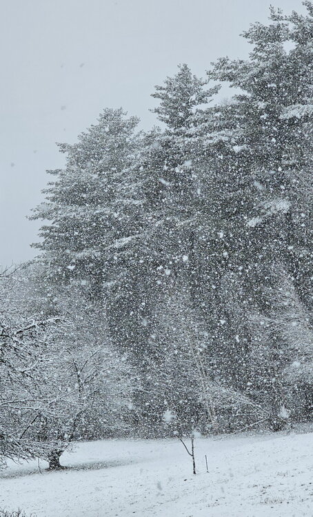
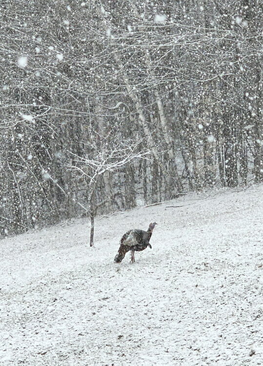
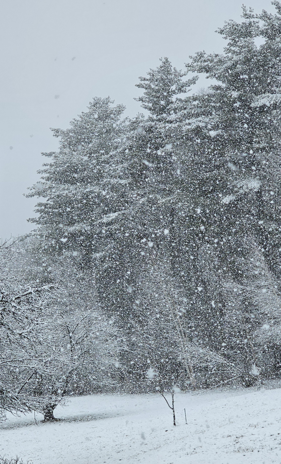
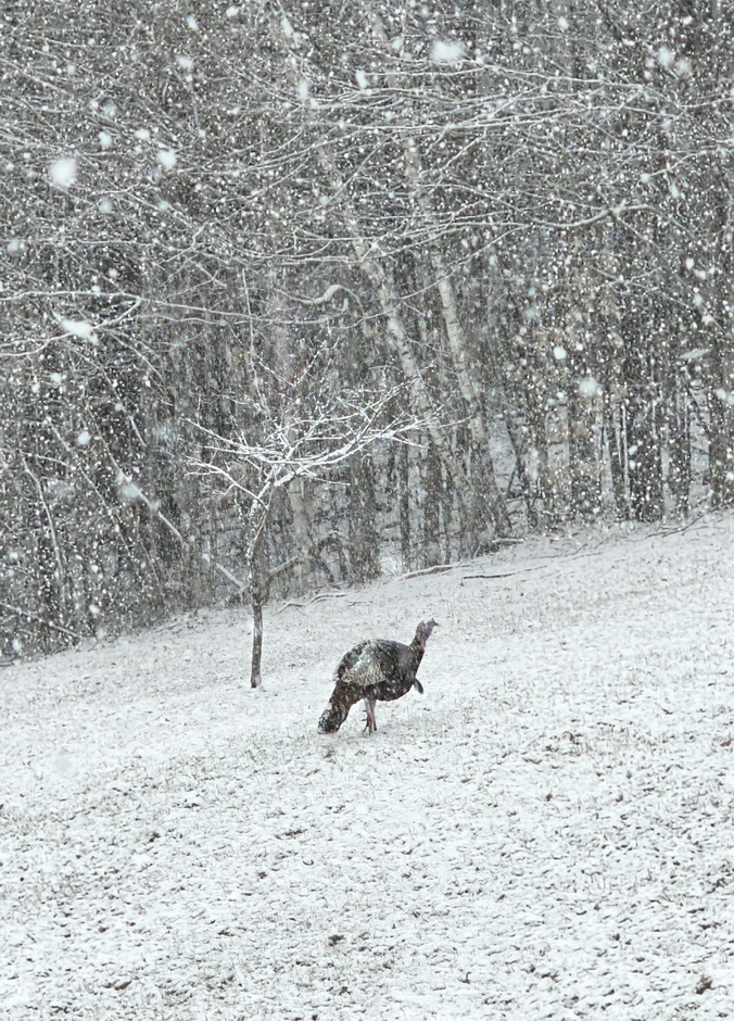
33.1F Moderate to heavy snow. 2"
-
3
-
 1
1
-
-
31.8F Light to moderate snow
-
6
-
-
31.5F Moderate snow 1/2"
-
1
-
-
30.4F Vis 1 mile light snow. Snow started an hour ago and the ground is getting white
-
1
-
-
Another CAD win day. High was 37F. Stuck at 36F now. We had about 1/2" of snow and sleet last night. Still lots of snow to be found in the woods. Awaiting the first green grass.
-
33.9F Light snow

July 2025 Obs/Disco ... possible historic month for heat
in New England
Posted
66/64 stratus 250 feet overhead. Only around .10" over the past many days. Can anyone spare an 1"?