

tamarack
-
Posts
14,677 -
Joined
-
Last visited
Content Type
Profiles
Blogs
Forums
American Weather
Media Demo
Store
Gallery
Posts posted by tamarack
-
-
Just now, dryslot said:
We squall.
Just a flurry here, had 3-4 minutes of nice feathers plus 10 minutes of little'uns for 0.1".
We've had only 2 warned storms so far, which if that's final number would tie 15-16 for fewest since I began tracking WSWs in 06-07 and the only winter with fewer than 4. Median number is 6. We're at nearly 95% of average for season-to-date, but short on the big'uns.
-
2 hours ago, Ginx snewx said:
Lol you guys and Stein worry. One drought last one 1964 1965. Fraud 5
And 66 was running neck and neck with 65 thru met summer - NYC's driest JJA and 2nd hottest. Then 9/21 had 5"+ and precip returned to average or more.
Driest February here (1999-forward) is 1.04". Might be endangered.
-
 1
1
-
-
1 hour ago, Layman said:
I'm near the 2-3" red dot of Portsmouth and look to have hit 2" on the money. Super light and fluffy and mostly blown away now with all the wind. Grass blades were covered this morning but are about 50% visible now.
QPF was below the .15-.25 noted in AFDs. The fluff factor mitigated that a bit - the meager 0.07" here produced 2.1". The last 2-4" forecast (Jan 29) had the same 0.07" but only 1/2".
-
1 hour ago, Lava Rock said:
1.25"
Sent from my SM-G981U1 using Tapatalk
2.1" thanks to 30:1 ratio. Most fell in the 2 hours prior to sunrise. First big gust will be a 30-second blizzard.
Season total passes 2005-06 and 2020-21, so now only the 4th lowest. (Only 3.2" under the average total thru 2/16, however.)
-
1
-
 1
1
-
-
3 hours ago, dendrite said:
8/2/75
PWM: 103
BGR: 102
BHB: 100, next to the chilly sea.-
1
-
-
1 hour ago, dryslot said:
In other news, Not that i buy it, But the 18z HRRR has a 3-6"+ swath up here in CNE/NNE, And thats on the 10:1 map, Should be higher ratios with this so Kuchera probably a better fit.

That's some "clipper" that dumps 6"+ from Michigan to Maine, where it might still be snowing at 1 PM EST.
Lmao…just like Al Gore…when he said we wouldn’t see anymore snow anywhere in New England by 2015. And it just happened to be the snowiest in New England since we’ve been keeping records. Another moron that was spewing nonsense. And That ridiculous comment will be no different.
I recommend adding "Southern" in front of the bolded, as most of NNE did significally better in 2007-08 than 14-15.
-
1 hour ago, Typhoon Tip said:
We have to think of this along deltas. The delta is consummately going to be pointed in a warming direction - all told science included.
But that's not absolute. We're not standing on the sun for acknowledging that objectively, here. Of course we can still sustain a winter -
What does sustain mean, anyway. If it means matching "expectations" ? NO, that will never happen. There's only so much heroine in Earth's atmosphere... But everyone also just leans the expectation too far over the line relative to all input anyway.
In 1995-1996, the greatest winter I ever experienced for longevity...we couldn't even sustain it the whole way. We had a 2 or 3 week melt down in the midst of it that put the stank on the phrase muddy thaw. Winter came back and persisted into the first couple of weeks of April.
But all that aside... the probability of sustaining winter for longer durations ( keeping it ambivalent like that), is going down. That much isn't up to my confidence, ...so long as the world keeps warming and these materialization of consequences continue to offset, there is no other conclusion.
But "going down" is often interpreted as rock bottom in the panic prone withdraw syndrome of the d-drip hopefuls.
1995-96 was a great snow year but the weather whipsawed back and forth from Dec 1 thru April 14, at which time spring arrived. Though its 138.8" was 2nd only to 2007-08 (142.3") since we moved from Fort Kent in 1985, it ranked only 5th of 13 winters in Gardiner despite having 30" more than any other of those 13.
The good periods, 12/1-21; 1/1-16; 1/29-2/19; 2/29-3/10 and 3/27-4/14. Those 88 days had temps 5.4 BN, 11.83" precip and 130.5" snow.
The intervening blecch: 12/22-31; 1/17-28; 2/20-28 and 3/11-26. 47 days that ran +7.2 with 9.59" precip and 6.1" snow.
-
1
-
 1
1
-
-
1 hour ago, dryslot said:
I'm starting to look down the barrel of a .12 ga, I don't have a good feeling for much of anything the rest of this month, My back is sore from shoveling all the potential snow.
We went 24 days thru the middle of Dec with just 0.1" snow (and a boatload of rain), then had 30" in 5 storms over the next 18 days. So far this month we've had a one-hour flurry on 2/1 plus some catpaws in Saturday's TS. Would be nice to break this snow drought like it did in January.
-
On 2/10/2024 at 9:53 PM, powderfreak said:
+12 to start the first 10 days of February. This winter has been incredible for positive departures.
11.6 AN here. Jan 23 on, +10.8 with minima +14.2; not bad for 3 weeks in midwinter. It's snowed about 1 hour in the past 2 weeks, the flurry on 2/1. (The catpaws in Saturday's TS don't count.) Pack hanging in at 14".
-
1 minute ago, Brian5671 said:
Are you out of your mind? I'm right on the coast and we are not rural. 6 inches here with moderate snow. It's a statewide event outside of the far NW corner.
Yes!
Just gray skies here, as forecast. Nice to see some good stuff to the south.
-
Crazy February day - temp got only to 46 but with the mild overnight the mean was +21. Brief (10 minutes) but noisy TS arrived at 4 PM with small hail, torrential rain (0.35" with catpaws) and 2 strikes within 1/2 mile, closer than anything last summer, plus others within a mile or so. I can't recall seeing rain that dense in February before yesterday.
-
1
-
-
4 hours ago, ORH_wxman said:
To be more specific, there are two famous Presidents’ Day storms…that’s why people see “PDI and PDII”….the first one was 1979 and crushed DC to NYC but whiffed New England. The second one was 2003 and gave 20”+ from DC to Boston and most SNE. Even CNE got decent snows but not quite as much.
We watched both from afar. In Fort Kent we'd just come out of 8 straight days with subzero highs. In our present locale, 2/16/03 hit -29, our coldest February temp here. 3rd time's the charm?
-
1
-
-
1 hour ago, weathafella said:
1957-58 was strong with a monster in February and then the famous March 58. The one thing about March 58 is I was staring at 10-12 inches which was slushy on the roads making sledding on hard packed street snow/ice virtually impossible.
18" of wind-blown powder in February and 24" of paste. My mother and 4 y.o. little brother were flying home on 3/19 and scheduled to switch airplanes at DCA for a dinner flight to EWR. Snow at DCA and fog at EWR closed both, but they were able, barely, to land at (then) Idlewild. She then had to haul 2 suitcases and an overtired and hungry kid into a taxi to Newark. We got home before dz/fog turned to snow, but not by much.
-
3
-
-
16 hours ago, powderfreak said:
+9.4 for the first week of February.
What a torch. Max of 37F this past week, min of 7F. Big departures, no where near as cold as usual. The obscene departures continue.
Almost the same as here. +9.0, max 37 (yesterday), min 8 (twice, including yesterday). Jan 23 thru Feb 7 is +9.4 (max +5.7, min +13.2).
-
18 hours ago, Ginx snewx said:
I had 38 OTG in 15
Never got past 31" here. We had 26" OG on Feb 1, received 23" of 18:1 snow and had 26" on Feb 28. Not much melting that month, as there was only 3 hr above 32, on the last Sunday of the month, and the average temp was 16/-10.
-
2 hours ago, met_fan said:
This map looks off, right? (Tweeted by NWS Buffalo)
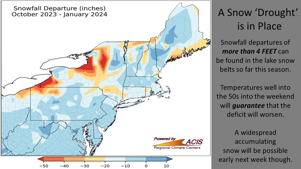
That little blob in Miane between the big blues is off. My site was 7.4" AN for that period and the co-op in town was nearly +9". The Oct-Jan average is 40-45" and that map would indicate only 15-20" rather than what's in my sig.
-
1
-
-
9 minutes ago, 40/70 Benchmark said:
2000-2001
Average 1st half of winter that went nuts in Feb-Mar, 48" pack on 3/31.
-
GYX' current AFD understates the mildness a bit. Yesterday here was +7, today will be +10 or 11, tomorrow should be about the same and the weekend may approach +20.
.SYNOPSIS...
High pressure gradually builds eastward into our region through
the end of the week with dry weather and seasonable to above
normal temperature
-
1
-
-
49 minutes ago, beavis1729 said:
Yeah...and this has sort of gone unnoticed. I had two snowmobiling trips planned in northern WI this season, and both were cancelled since they haven't been able to open the trails. The most shocking stat of all is that essentially the entire state of WI has bare ground...on February 6th! There are no words to describe how ridiculous this is. North of 45N, they typically have 10-25+" on the ground now. The entire Midwest had a 7-day period of winter this season - that's it.
This reminds me of 18 years ago. In mid-February 2006 a fellow from Corpus Christi called the manager of Aroostook State Park, a few miles west from PQI, asking about snowmobiling. The manager said it was awful in his area but was decent up in the St. John Valley. (Seven weeks earlier PQI had a 25" dump, with 33" at CAR, their greatest on record.) Imagine what the guy from south TX thought when told that northern Maine had crummy snow conditions in Feb.
Conditions here in the Maine foothills are fair to poor - snow is there but all the Dec/Jan rain still makes issues at unbridged crossings. Better in the mountains.
-
1
-
-
1 hour ago, leo2000 said:
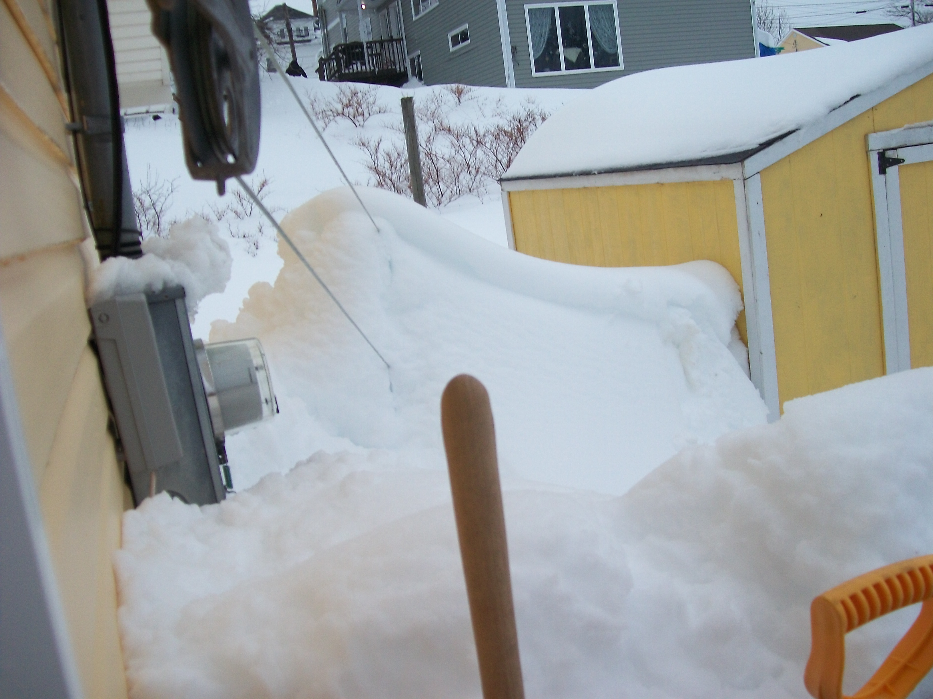
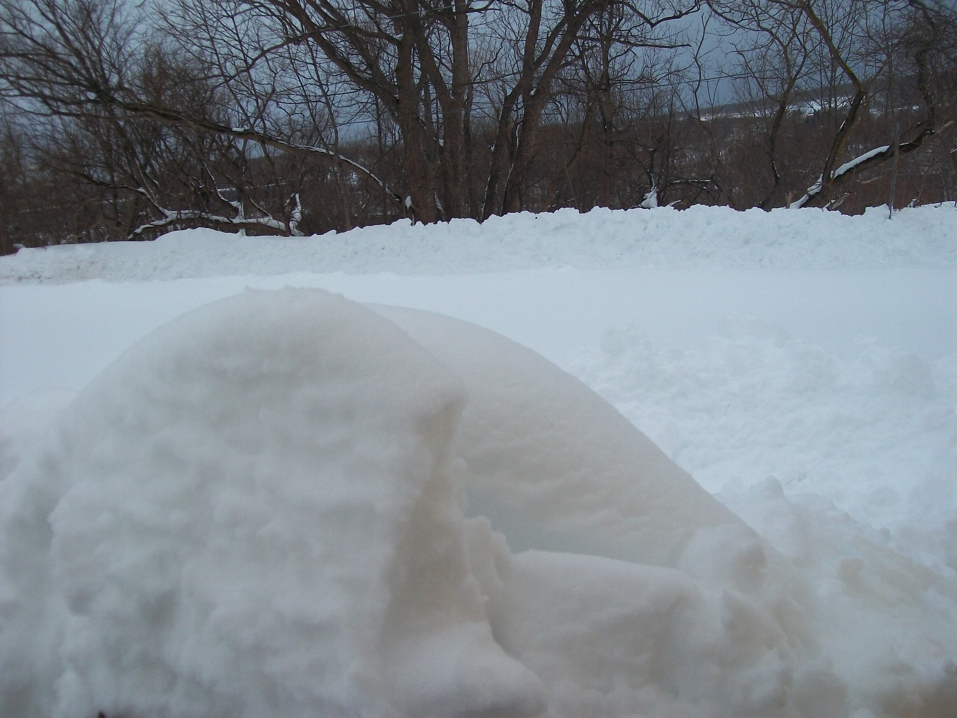
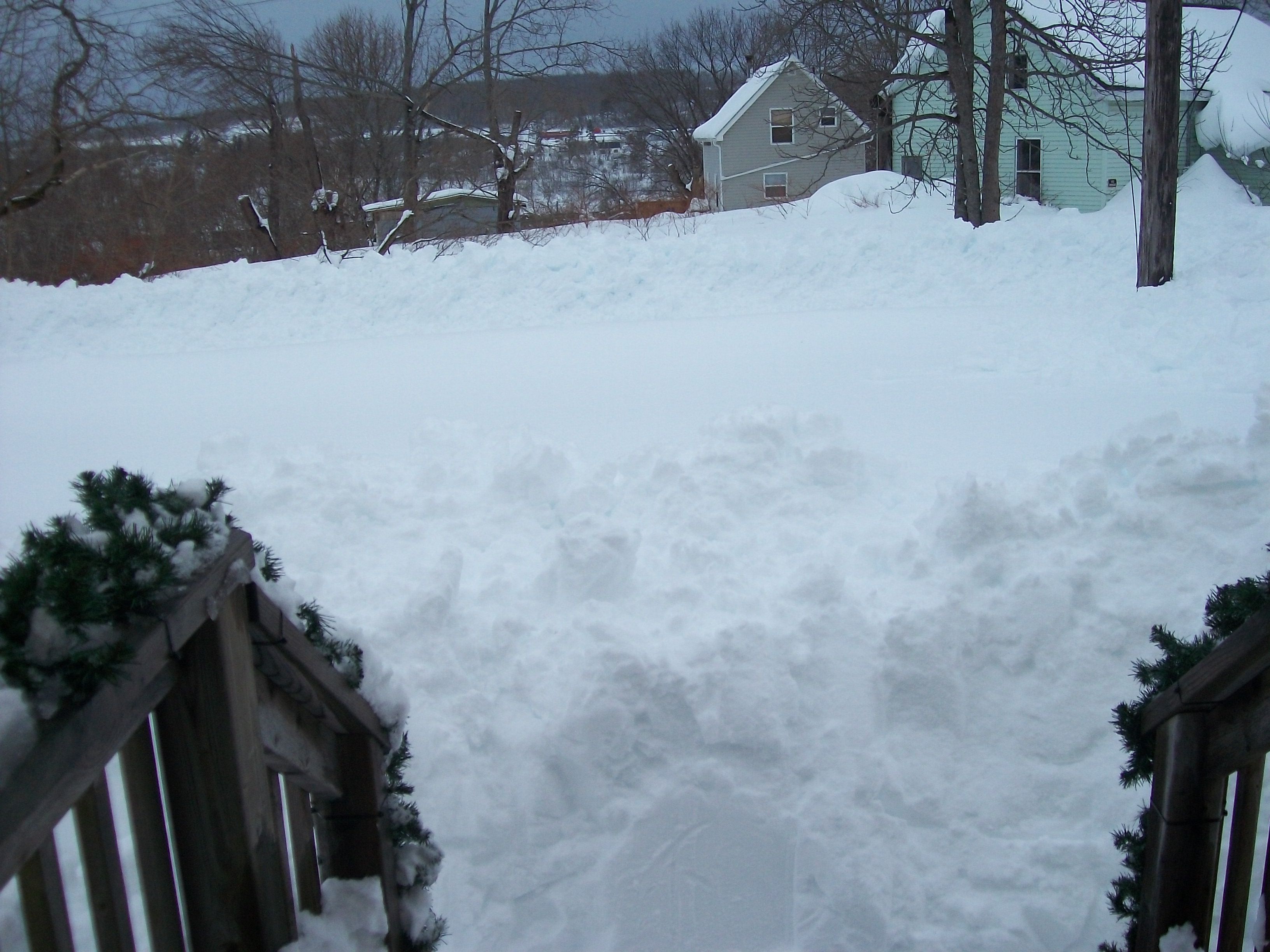
Pictures of the historic snowstorm in my area of New Glasgow Nova Scotia. Snowfall was 60 inches with snowdrifts making it even higher.

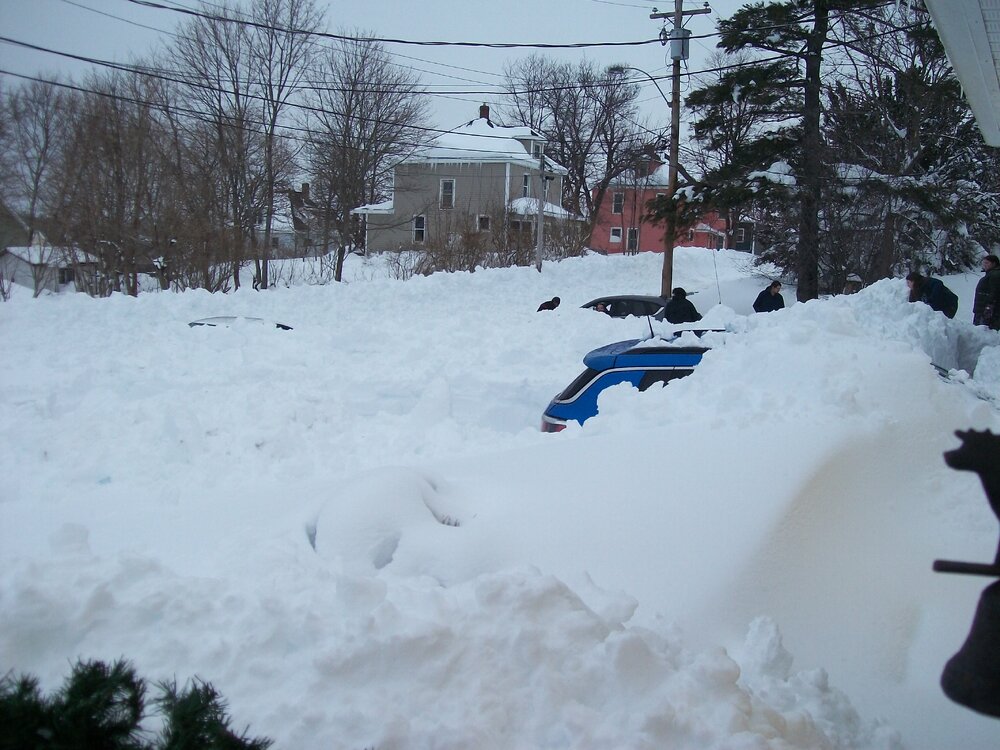
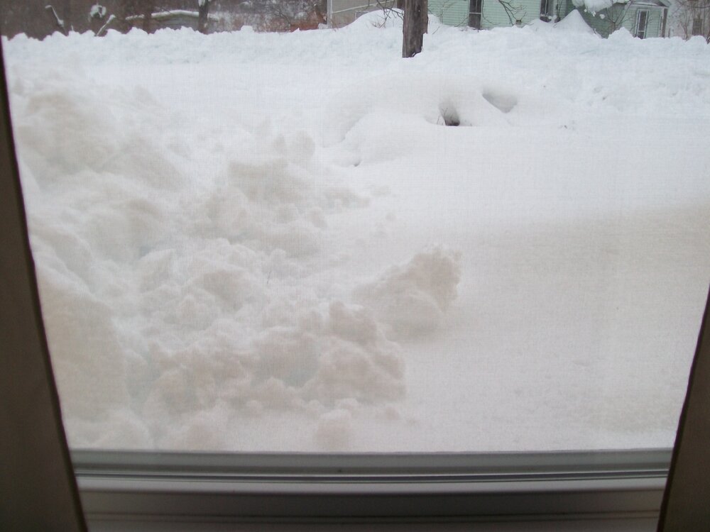
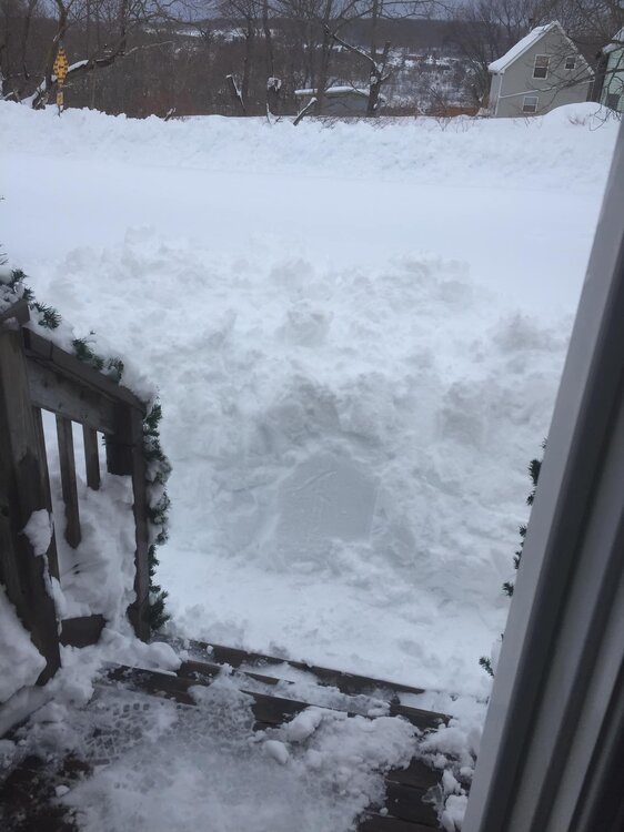
Thanks. How long did significantly accumulating snow continue?
-
45 minutes ago, powderfreak said:
Sounds like up here. We are on a stretch of above days going back to 1/22.
We just had two +5 days which were the coldest departures in two weeks. Did 12 straight days of +10 or more and 3 of +20 or more.
All with solid snowpack too. It’s all overnight mins just getting torched and the departures are wild this winter. If there’s a way to constantly run ridiculous warm departures, this is it… snowpack, looks like winter and don’t have to pay heating bills because every day is 34/24 instead of 20/3 or whatever.
We snuck in 2 slightly BN days on 1/30-31, but the average for 1/23 onward is +9.5. Pack is holding at 18" with 4-5" LE, but it will probably retreat a bit over the weekend - more settling than melting.
-
1 hour ago, ORH_wxman said:
It would have been a monster storm without CC. I think that is where people get tied up in knots. I mean, there was 50”+ in the 1888 blizzard down at our latitudes (just not in eastern areas) too. So yeah…CC enhanced it, but it’s not like that would’ve been a run-of-the-mill 25” blizzard without it.
Atmospheric Water vapor increases about 7% with every degree Celsius rise…so you can do some quick math to see how much extra water we’re working with compared to several decades ago.
More atmospheric water helped, but like Feb 1969 the real key is how long it snowed - 5 days in NS?
-
2 hours ago, ORH_wxman said:
It’s inherently tough to “blame” things on multiple causes. Our brains aren’t really wired that way…we want to have a quick and easy one-stop-shop explanation. That’s why you get so many people who bristle anytime you try and assign multiple causes for a weather event or season. As someone who has looked at so much climate data since I started studying this stuff over 2 decades ago, I was already aware of the large swings we see in the past so when we get them in the present, I don’t feel the need to pretend it’s a new phenomenon. It’s easier to break warm records now and harder to break cold records due to CC. Aside from that, I’m usually hesitant to put too much attribution on CC for other weather phenomenon since those are much messier datasets and you lose the robustness of the relationship. This is particularly true for snowfall in New England.
Even temps are a bit messy…they increase long term but we see large temporal and spacial variations (I always tell people to look at the 2-3 decade trend in the N plains/Rockies)…sometimes natural variation is working in the same direction as CC and sometimes it is not.
All good points, and the long look is crucial. We've had 5 events with 3.25" or greater, including 2 with 4"+, in the period Oct 22-Dec 23, only 15 months. However, June 98 thru Sept 99, 16 months, also had 5 such events and 4 of those topped 4". Looking the other way, 2001-04 had no such events and 2018-21 had only one. (Context: From May 1998 thru the present, we've had 29 storms of 3.25"+, about 1.2 per year.)
Edit: The late lamented Farmington co-op has winters 1893-94 thru 2021-22, so 'n' = 129. Their average winter is 89.6" and the bottom 10% (13th lowest) had 60.6" and the top 10% winter had 122.6".
-
1 hour ago, Great Snow 1717 said:
below normal snowfall and above normal temps doesn't deserve anything more than an F grade....it has felt like winter on about 7 days...and the departure from normal snowfall is going to increase over the next 7-10 days...
Low temp for the winter so far has been 11 degrees. On pace to not have a single morning temp below 10 degrees.
9 of the 25 winters here would meet those 2 criteria. I'd hate to be in a class in which the teacher set the curve assuming a 36% flunk rate. Median would probably be no higher than D.
Retro low has turned sunny to mostly cloudy this afternoon.
-
1
-


Someone has to mention Feb 23 obs
in New England
Posted
I think those are valid met terms that the ever-hyping media has grabbed.