MANDA
-
Posts
3,024 -
Joined
-
Last visited


-
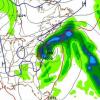
Deep moist fetch being rammed into the higher elevations and wrung out. Orographic lift going full bore. Bad situation.
-
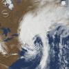
If you didn't know any better you would swear some tropical remnant merged with a frontal system was cutting into SNE this morning. https://www.meteo.psu.edu/ewall/PSUGOES_NE/loop60v.html
-
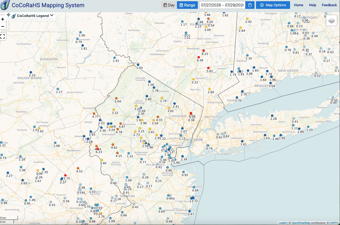
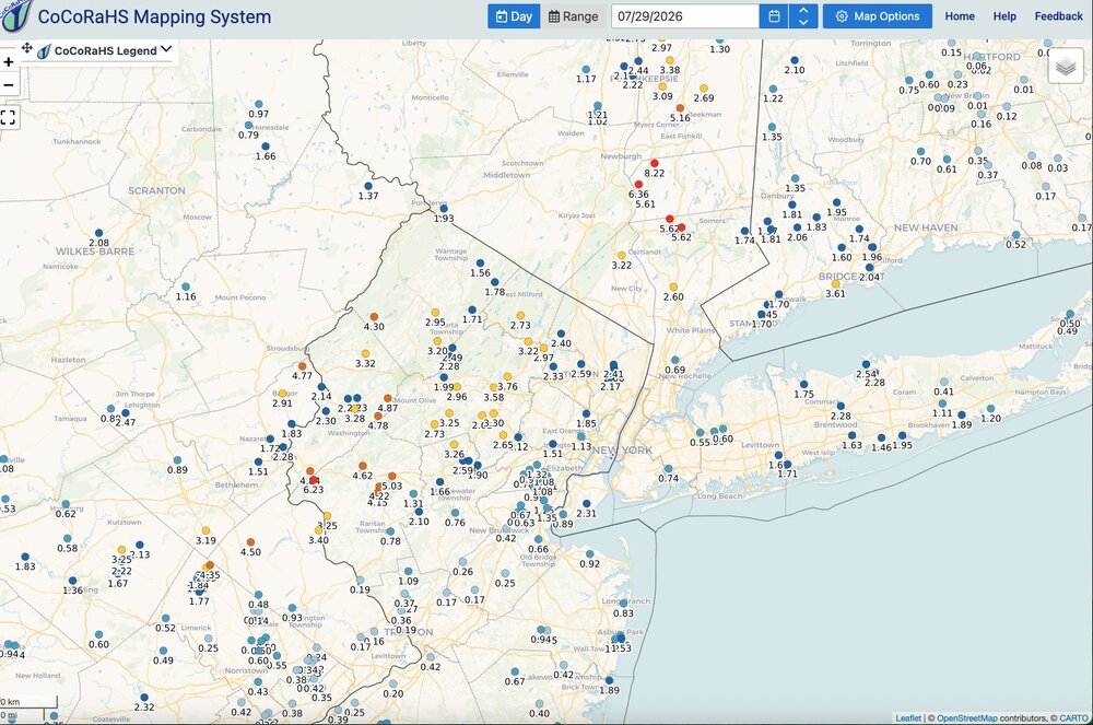
One and two days totals: Click map to enlarge.

-
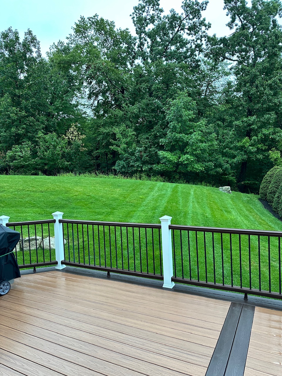
Event total here: 1.99". Enough but not excessive. While some slight long term dryness is still going on the drought up in my area is essentially over. July will end up being a very wet month up this way and for the sub forum with maybe a few exceptions. Just need to keep up at least normal rainfall next several months to keep from slipping back into dryness. Gotta love the negative tilt trof exiting off the Mid-Atlantic and SNE coast this morning. High anomalous for July. Not sure my grass has ever been greener heading into August.

-
Hardest rain of the day right now. This time with some wind. Rain pelting the side of the house.
-
Still raining hard at times here and still rumbles of thunder.
-
Northwest Warren County and southwest Sussex County look to be getting drenched per latest radar.
-
Western Hunterdon County along and south of 78 looks poised for some torrential rains at a minimum. Radar looks very impressive. Western and central Somerset county as well. Still bursts of heavy rain here with rumbles of thunder.
-
Wow to the rainfall rate!
-
Heavy rain here. Pouring at the moment. A few rumbles and flashes. No wind. Eyeballing the gauge looks like 1.25” on the day.
-
Real deal here in Chatham. Tremendous CTG strikes. Crashing thunder and torrential rain. Minimal wind.
-
Agreed! Sometimes better to remain quiet and appear the fool than to speak and remove all doubt.
-
In Summit, NI currently. Radar is impressive southwest of here. Expecting heavy downpours within 60-90 minutes tops.
-
Update on John Homenuk ("earthlight" from his days on these boards) Doing better but sounds like he had an awfully close call. Scary stuff. Best to him. https://people.com/healthy-36-year-old-reveals-warning-signs-before-suffering-widowmaker-heart-attack-exclusive-12018433?taid=6a5558621fb3140001d6dcb4&utm_campaign=peoplemagazine&utm_content=new&utm_medium=social&utm_source=twitter.com
-
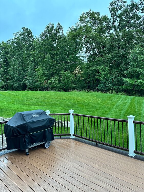
Just came in from yard work. Hot in the sun with just a minimal breeze. Soils still wet here. Just pull back the mulch a little and ground is wet. Grass could probably use a drink but doesn’t need a deluge that’s for certain.