

WxKnurd
-
Posts
1,512 -
Joined
-
Last visited
Content Type
Profiles
Blogs
Forums
American Weather
Media Demo
Store
Gallery
Posts posted by WxKnurd
-
-
13 hours ago, Met1985 said:
Big changes on the way for the end of this next week. A huge cold shot for sure. Will be a shock to the system.
Supposed to be cold while I’m out in Nebraska hunting, so hopefully I can bring some back with me to keep it entrenched!
-
 1
1
-
-
Looks like I need to come hunt the NF land that borders your neighborhood in a few weeks. Great pics @Buckethead!
-
1
-
-
36 minutes ago, Sw NC weather said:
The microclimates here in the Mountains are absolutely fascinating. That’s a huge difference for y’all, with the close proximity. Hopefully one day I’ll get to compile some numbers for different ones here in Macon County.
Met is 200’ lower in elevation than me, is maybe 2 miles away as the crow flies and seems to just about always bottom out a little colder than me. Gotta love how our topography and its orientation play a role in all aspects of our weather.
-
3
-
-
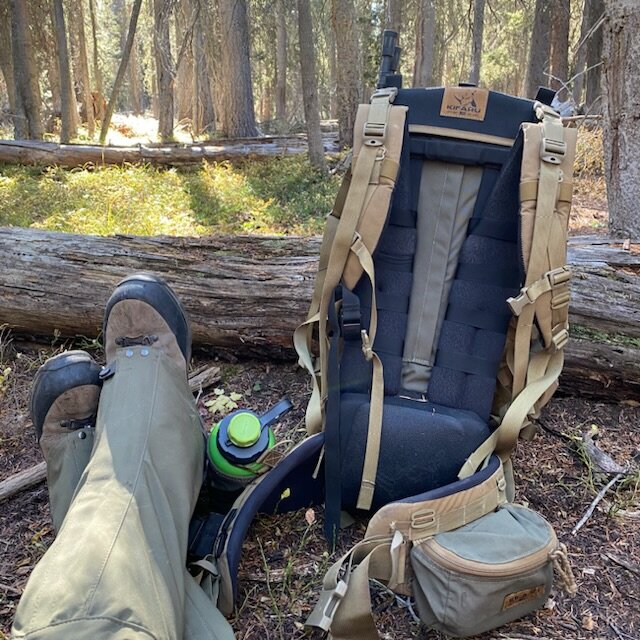
On 10/20/2022 at 11:21 AM, BlueRidgeFolklore said:
Sweet setup! Love the Kifaru bag. Which gaiters are you wearing?
Just now saw this. That bag is the Hellbender, picked it up at the Park City Total Archery Challenge back in July, replaces my .22 mag for my daypack and 1-3 night bag. The gaiter are Outdoor Vision’s. I have their originals but needed a new set. They are sweet but tore a hole in the upper material navigating a burn area (not as durable upper material now IMO), should be able to sew them up.
-
1
-
-
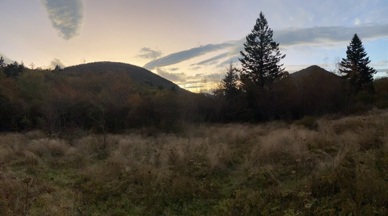
Amazing weather this past weekend, so glad I was home to experience it.
-
5
-
-
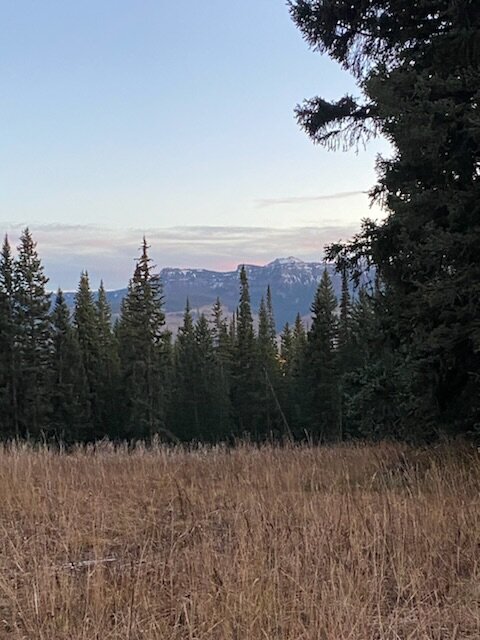
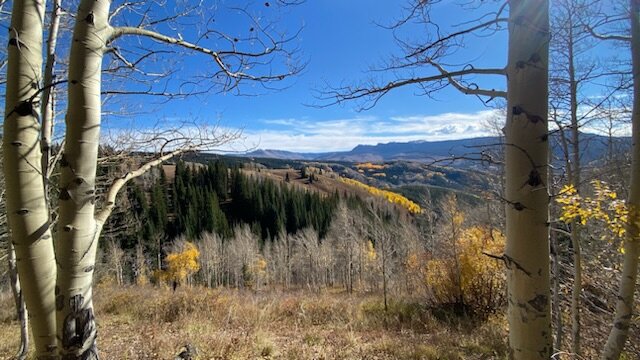
Colder back home for the highs than out here in the Colorado mountains this week! Was cold this morning at 20 degrees down in the “lower” 7000’ terrain but shot up to the 50’s and 60’s quick. Hate I missed the first taste of winter l but the views out here while chasing elk were hard to beat.
-
7
-
-
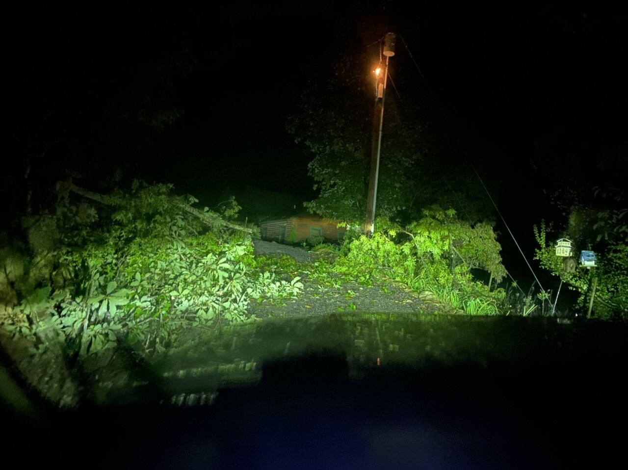
Storm rolled through at my place while I was in Waynesville, could see it lightning while I was driving home. Was greeted to this tree being down and the transformer flashing about 1/4 mile below the house, had to cut it out of the road with a machete since I didn’t feel like walking up to get my saw.

-
2
-
-
Had 44 when I left the house at 5 am, coldest I saw on the parkway was 37 between 5 and 6k feet, Richland Balsam I saw 43 and then it was 41 when I left the truck at 6 at Black Balsam. Great Fall morning and the crescent moon looked spectacular!
-
2
-
-
Wind was howling up around Sam’s Knob this evening right before dark. Temp was 51 when I got back to the truck and 49 around Richland Balsam. 56-57 when I pulled here at the house around an hour ago. I’ll be way up high there again tomorrow morning, gotta love the first strong cold front in Fall!

-
5
-
-
Pouring this morning from South Asheville to Hendersonville, 26 is flooded right before the hwy 64 exit due to construction runoff. If there isn’t a wreck there after I came through I would be very surprised.
-
2
-
-
Was a raw morning up above 5000’ doing some recon and hanging a stand for hunting season. Socked in with clouds, some wind, off and on rain and low to mid-50’s.
-
2
-
-
Came back from Waynesville and had 1/2” on the deck.
An easy 2” for the event, probably close to 3” total if I had kept track of measurements throughout the day since I woke up. An overperformer when looking at the forecast for my area. Over 30” for the season at my new place and that’s just since Dec 28th when I closed on it.
-
3
-
-
Poured snow off and on down in Waynesville today. Pouring small flakes when I left the house to head back down to town and everything was covered in 10 minutes. Crazy April day.
-
2
-
-
Got 1.5, maybe up to 2” on the deck this morning
-
1
-
-
April 8th and biggest flakes and best rates I’ve seen all season. All I can do is laugh.
-
3
-
-
Started pouring snow a second again, one of those squalls comes through overnight and I might wake up to a dusting.
-
1
-
-
Had some flakes and graupel for a second down in Waynesville earlier at 48 degrees. 39 when I left my place.
-
Wind was brutal yesterday, dry and sunshine let me get some small tree and shrub cutting done though.
-
1
-
-
24 hr temperature change for yesterday ended up being -40.6. Got down to 7 this morning, very impressive for mid-March!
-
2
-
-
Holding steady at 11.5 at my place.
-
1
-
-
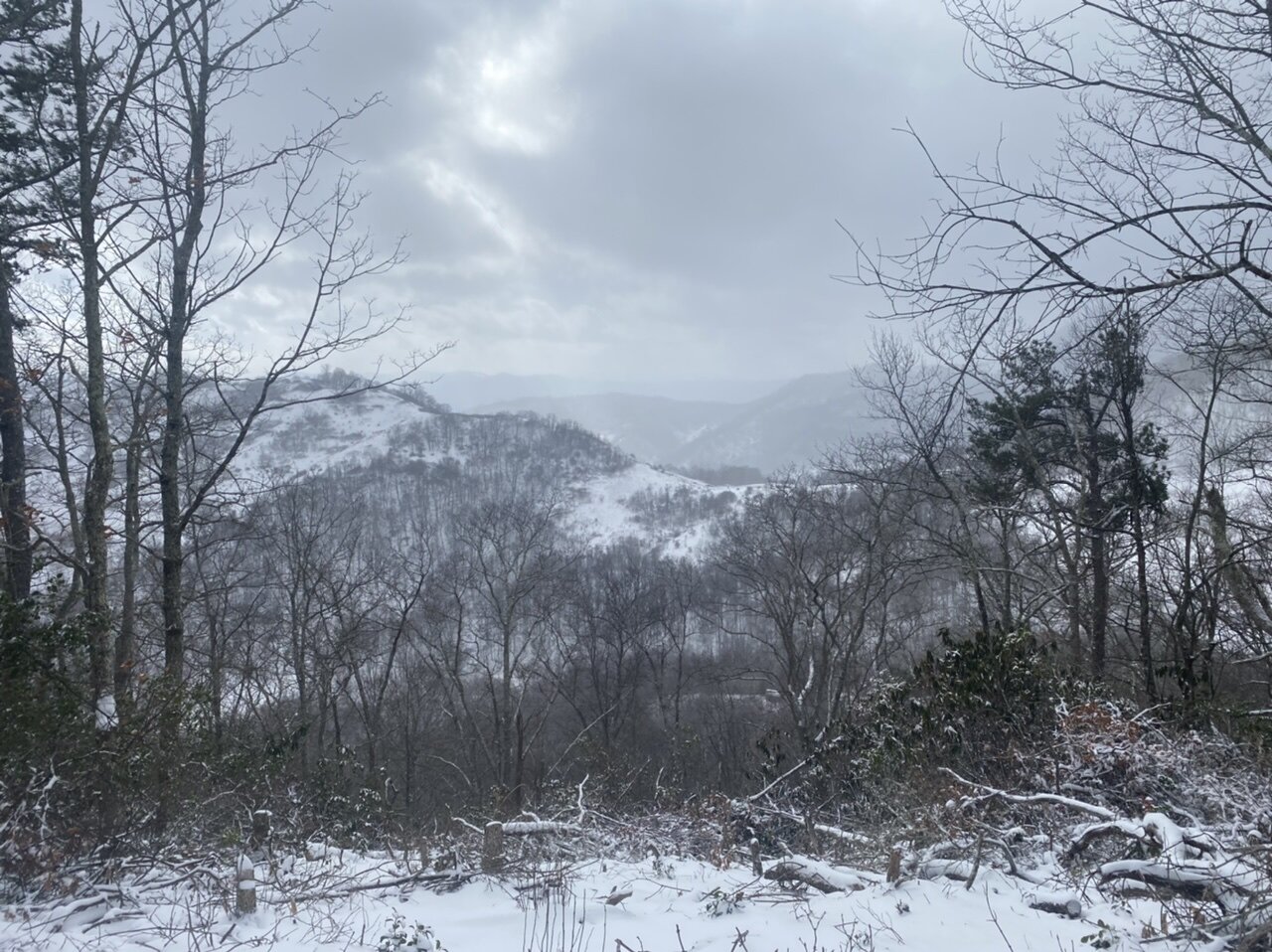
Measured 4” on protected areas of my deck, so that’s what I’m going with. 27-28” for the season. Hovering around 14 degrees after dipping down to 13 earlier. Hiked up to the top of the mountain (4100’) and got blasted by the wind, made for a frozen beard. View from the little lookout up there.

-
7
-
-
Man when you get under one of these squalls it puts it down. How’s this for a 12 hour temperature change. Went from 51.4 at 12 am to 14.2 at 12 pm for a delta of -37.2.
-
3
-
-
Shaping up to be the best flow snow event at my new place that I’ve been home thus fa. No clue on any kind of official total because of the wind earlier when nothing was falling blowing it off my deck but it’s looking like I might be approaching 3” on my deck railing. The 2-4” call verified for me. If it does this another 4-6 hours I think I can make a run at 6” and the 30” for the season.
-
2
-
-
Temps continue to plummet, down to 17. This temp drop is making a run at reaching levels of one I experienced in Ohio way back in like 2014. 45 degrees when I left the hotel in the morning and -2 when I got back to it that evening.
-
1
-
2022-2023 Fall/Winter Mountains Thread
in Southeastern States
Posted
Not supposed to get above freezing where we will be basically from when we get there Thursday til we leave the following Saturday according to all the ensemble models I’ve looked at. Yesterday was ridiculous, close to 80 in Asheville while I was walking the greenway. Felt great once the sun went down even if it was more like late April.