winter_warlock
-
Posts
3,373 -
Joined
-
Last visited
Content Type
Profiles
Blogs
Forums
American Weather
Media Demo
Store
Gallery
Everything posted by winter_warlock
-
Amen brother!!!!
-
After the last crappy bunch of years I'd take median snowfall anyday!!
-
Let's go Ravens!!!!
-
Don't know how true it is but a few pro mets on Facebook reported on their Facebook news page that NHC hurricane hunters had recorded a 252 mph wind gust near Jamaica .. seem a bit unrealistic but. Not impossible I guess
-
Hmm. Hard to say but I do know where in live in eastern Baltimore county alot of the leaves have already fallen so a good storm may speed up the process... In my opinion
-
Yeah I agree!! We have one of the best running teams yet we seem to throw more this year!!. Makes no sense to me
-
Yeah. Refs seem like they been leaning the Chiefs way in last few games
-
President day storm no.1 I believe (Feb 1979)
-
True!! Their back up QB isn't the answer
-
Well I got a good wife now but first wife was having a bit more sex then me.. that was an issue
-
They look goofy lol
-
I just realized that I joined AmericanWx on December 3rd, 2010 so on Dec 3rd I will have been in AmericanwWx for 15 years!! That's longer than both my marriages ! Lmaoo
-
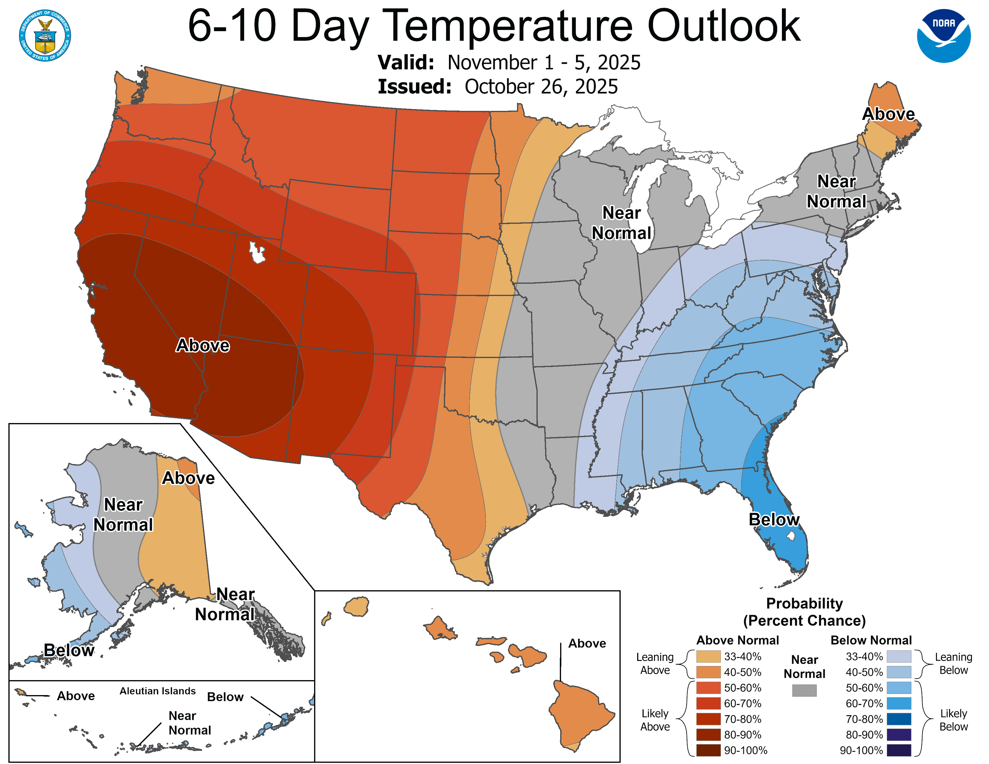
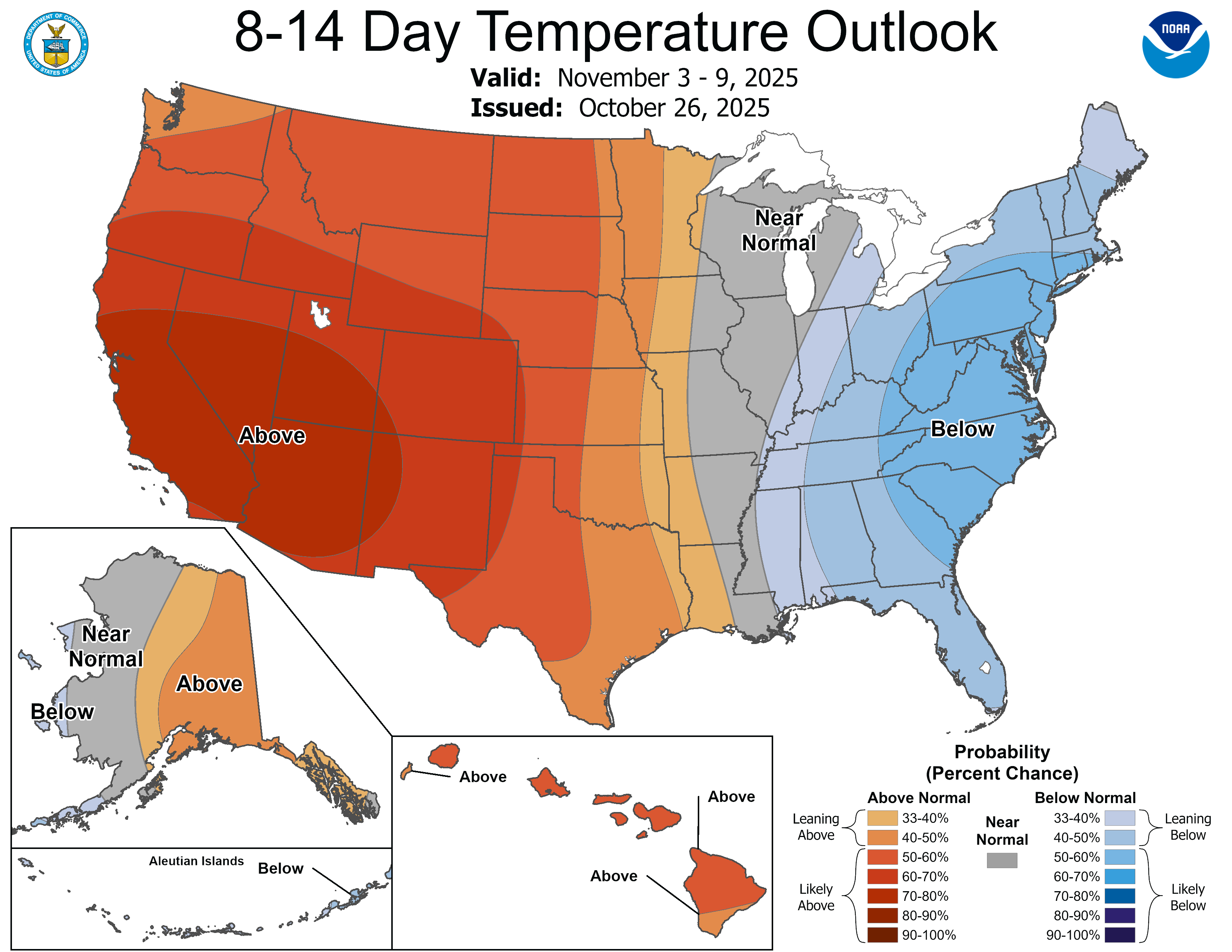
Next 2 weeks definitely a cool down in the east..


-
I can live with that!!
-
That map has me in 10-14 range but I remember getting about 5 inches
-
Me too!!!
-
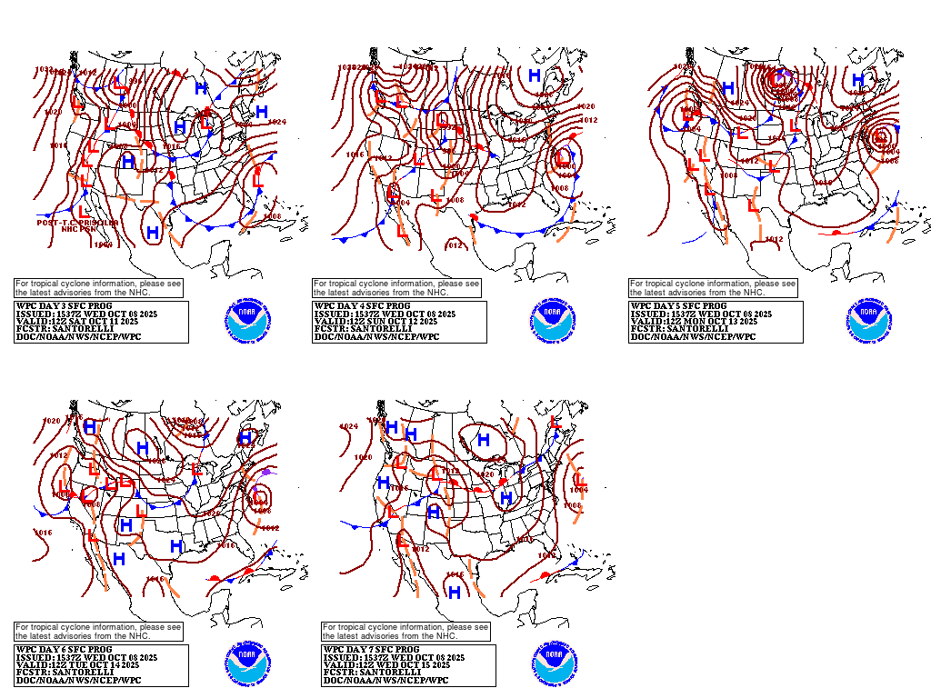
Wpc. Has the coastal nearly stationary( aside from an occasional wobble) for 3 days lol

-
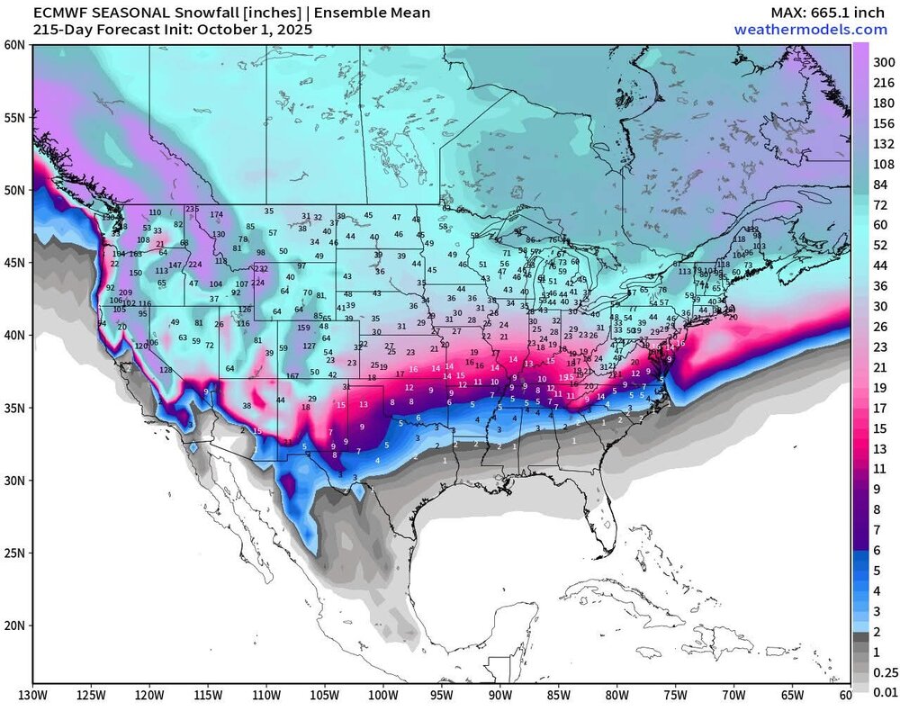
FWIW.. for fun mostly lol. Here's the euro seasonal snowfall forecast for this coming winter ... I wouldn't put a lot of stock in this but still fun to look at.
-
I don't wanna see any destruction, but some nice wind and heavy rain would be nice
-
Yep going wide right like the others
-
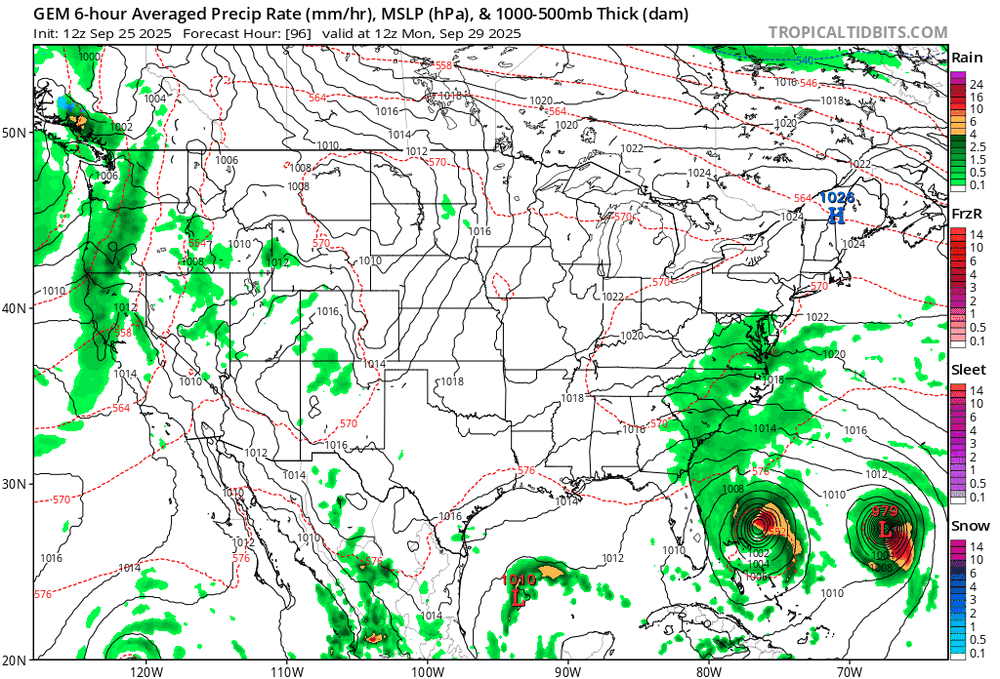
12z CMC. Combines the 2 tropical storms...
-
Amen brother!! I'll take some wind and a nice deluge!!!!
-

2025-2026 ENSO
winter_warlock replied to 40/70 Benchmark's topic in Weather Forecasting and Discussion
Blocking would be nice but we've had blocking many times with a perfect set up and still storms missed us. Sometimes a strong block can actually keep storms too far south. -
Well I usually cut my grass every week.but because of lack or rain, it is t growing nearly as much.. I cut it now every 2 weeks and even then it hasn't grow very much
-
2025-2026 ENSO
winter_warlock replied to 40/70 Benchmark's topic in Weather Forecasting and Discussion
Doesn't matter. I've seen us have a big -NAO and still get absolutely nothing out of it. And I've seen us have a +NAO and us get snowstorms out of it. I think the NAO doesn't matter as much as it's hyped.. in my opinion