GreyHat
-
Posts
388 -
Joined
-
Last visited
Content Type
Profiles
Blogs
Forums
American Weather
Media Demo
Store
Gallery
Everything posted by GreyHat
-
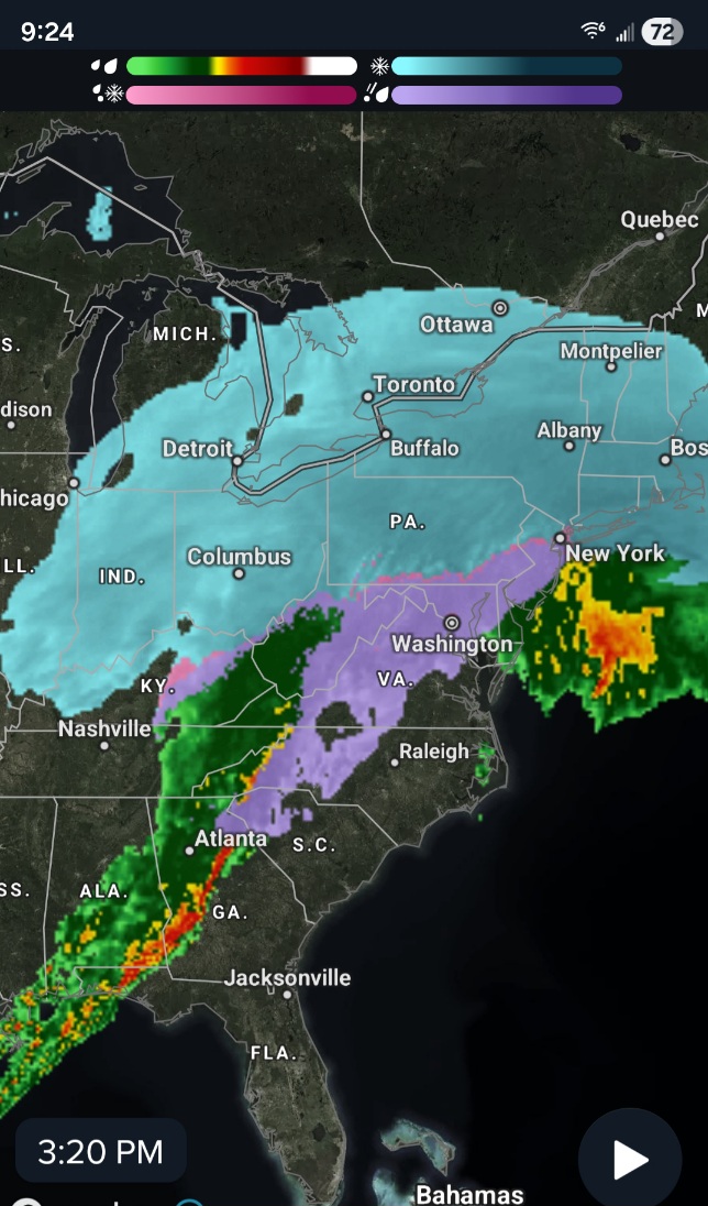
30F wow we just jumped 2 degrees in a matter of minutes. Pressure dropped 29.59 dropping Winds NW 3
-
28F never hit the forecasted high of 35F Pressure 29.62 still falling
-
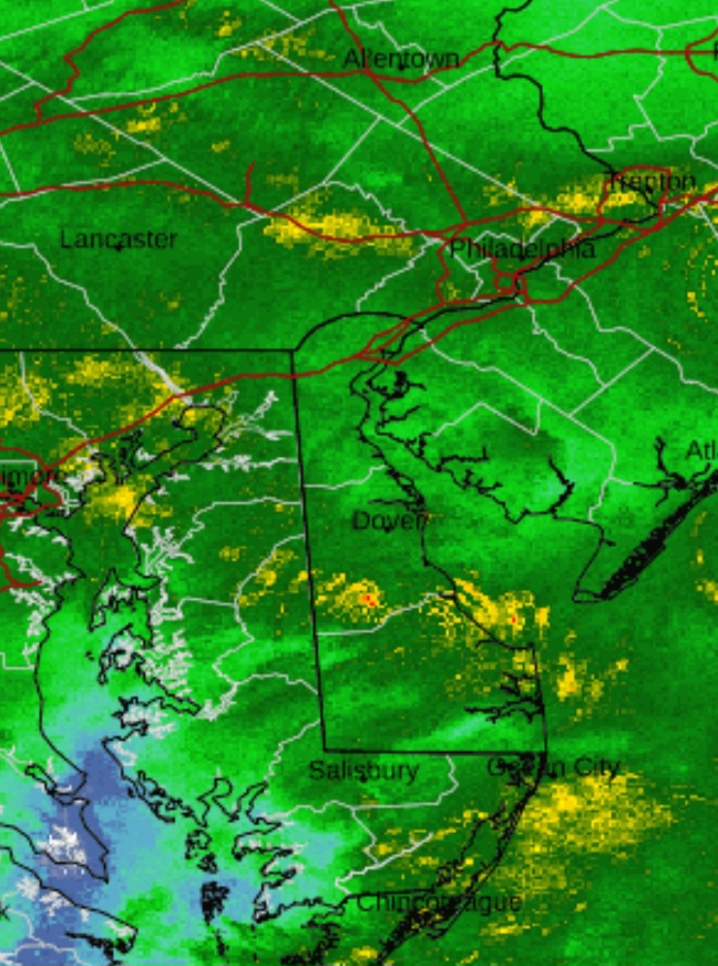
Looks the heavy stuff heading east and will hit Delaware. https://eldoradoweather.com/radar/dox/dox-dover-loop.php

-
Seeing that L off southern MD,explains why my weather system is showing the pressure dropping quick.
-
The weather people just said Greenville Airport SC has recorded 1" freezing rain.
-
Probably why the precip radar shows rain
-
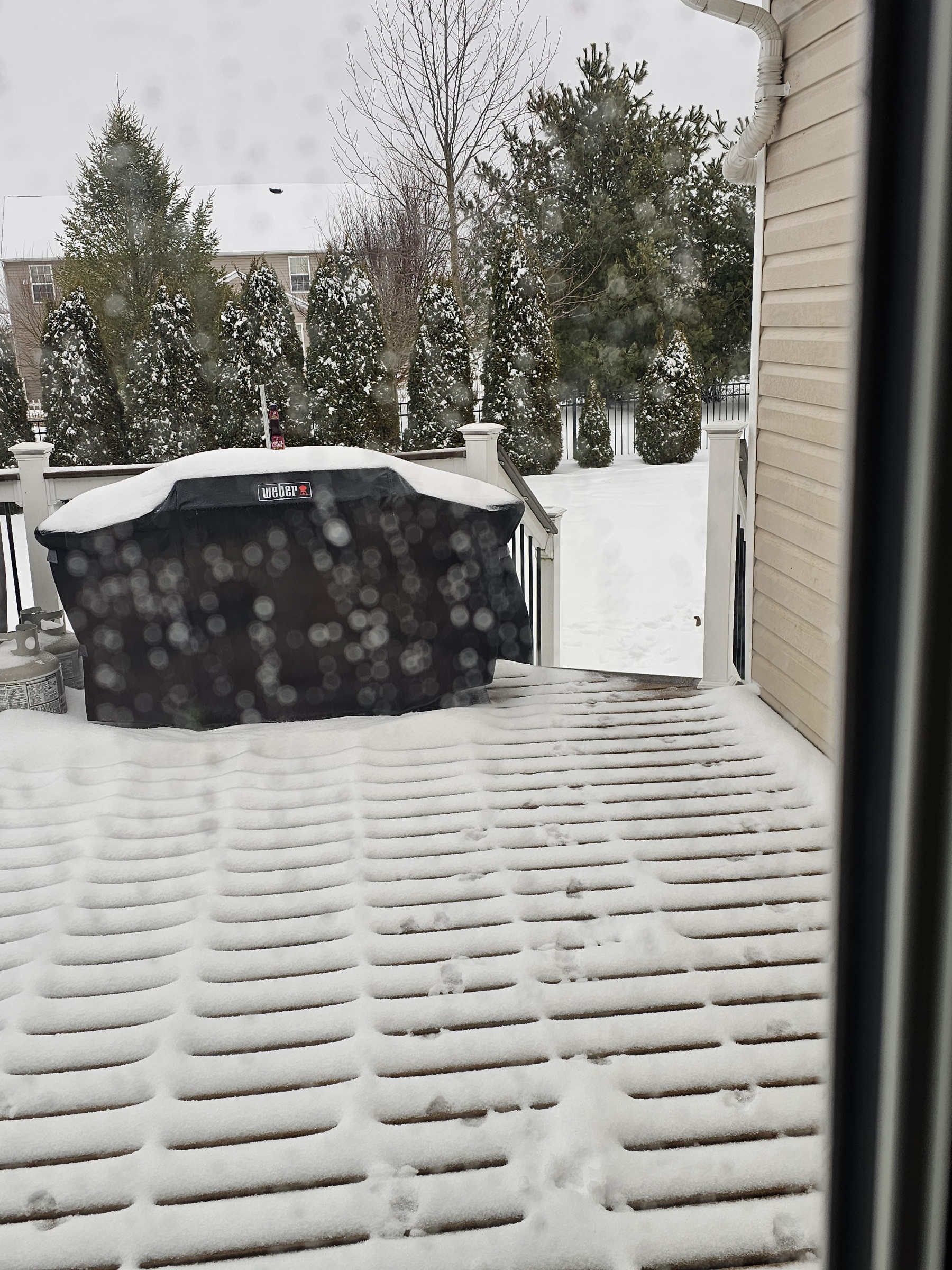
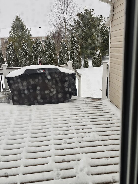
Already have light freezing rain. I have a 2 stage 30" wide snowblower. I bought before the 2010 snow storms, while living in Severn MD. I kept it and brought it to Delaware in 2012. Used it multiple times since moving here. I thank you for your concern.
-
I'm waiting till it's done before cleaning the driveway and sidewalks. That's because I don't want the ice on the concrete. I figured with the powder beneath all that sleet will be better.
-
28F Pressure falling 29.68 Winds NE 4 Light rain
-
24F Pressure still falling 29.73 Where is the L near the coast? Winds ENE 6 Sleet and seems to be some little freezing rain
-
Thank you
-
Thank you, but you should tell the ones involved.
-
Oh, the Joker crew or cyber bullies.
-
Joker, Thought this was about the storm.
-
Jokers Thought this about the storm.
-
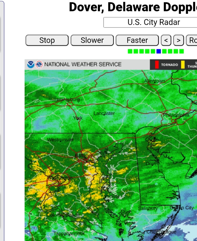
Dark red and yellow heading to Dover

-
23F Pressure dropping 29.83 Heavy sleet with snow mixed
-
Temps rising now 23F Heavy sleet
-
Thank you. Will see how the other models do with this next one once the current one clears out.
-
How reliable is the CFS, those are some strong systems too 971?
-
Depending on location
-
Must be a good glaze of sleet on the snow, as you can see it bouncing off the snow.
-
What are the 700 since that's where some were talking about the warm nose.
-
If the future radar is to be correct. The rain on the western side would be incredible besides almost all of Delaware. Those temps drop and if flash freeze would be dangerous. The reds down south of heavy precipitation.

-
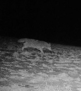
Coyote near my mom's house before the snow started. Time to take the rifle.