

GreyHat
-
Posts
388 -
Joined
-
Last visited
Content Type
Profiles
Blogs
Forums
American Weather
Media Demo
Store
Gallery
Everything posted by GreyHat
-
If Friday it's still there then I could believe but these models have shown snow and nothing happened.
-
Agree, and the GFS has fool those before and sadly it will again, especially after posting snow maps with those amounts.I love snow just like anyone else, but climo and this time period. Need to be more realistic and if anything maybe the Euro AI is your goal post.
-
NWS has some rain for delmarva Wednesday-Sunday in the mid to upper 40s. Same for Ft. Meade MD with the exception for Sunday a chance of snow mixed. The extended forecast has 50 into March 3rd. We could use the rain before the summer. Feel sorry for the DC are with that sewage spill in the Potomac.
-
.42 in rain, a welcome fir both water table and cleaning the roads, besides those vehicles that need a cleaning.
-
51F 55 RH Cloudy No rain
-
 You state the GFS is not a good model, but yet you reference it. Why?
-
Thank you for the explanation.
-
Off topic Thank you for your service. I retired as Navy enlisted. Turned down LDO, as I like hands on. I've worked with SPECOPS and Seal team 2. Getting ready to retire from Federal government. Thank you for the advice.

-
No thank you
-
I had taken advise and was not posting. I saw Terpeast post about the 12z EPS, comparing it to the 00z. I saw there was a difference between 12z EPS and AIEPS. So, I asked the question. Others on here thought it was more fun bashing me before and after the post including yourself. Midatlanticweather was nice enough to answer my question. My assumption from your photo that your Army or former Army.
-
Glad to hear that, now hopefully the others would follow your lead instead of the constant bashing. Doubt it but maybe they will show some maturity.
-
No, I'm not a former poster.
-
Sure hope you don't kiss your significant other or mother with that mouth.
-
Thank you for the answer as the others couldn't answer it that's why they feel the need to attack someone.
-
AIEPS not as strong as the EPS, so does one hold more weight over the other?
-
I've listened to those and not posted but I guess TSSN, Winter_warlock, Stormtracker just can't help themselves but continue to knock someone down once they get a model to show snow. I like snow, but as time goes by it will not be so easy at least Delaware.
-
Thank you.
-
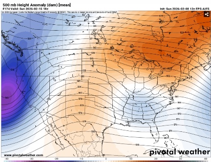
Can you tell me why Pivitol shows the following? I was not able to see it while it was coming out.
-
Thank you, and what little effects I know of that and the rossbry wave. This helps me to understand things. Thank you again.
-
Question; back in the day some poster whether it was doorman or others. Said to looked towards the Aleutians and look to 60 day lag. Is that correct?
-
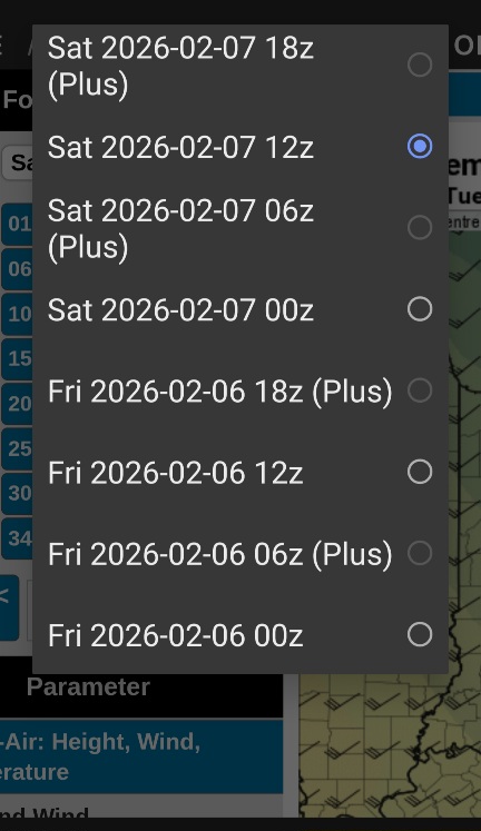
I see the 18z EPS AI is coming out now but why does it show on Pivital 18z (Plus)?
-
Okay, thank you, I understand the snow weenies. I was always told to be up front with the good, bad, and the ugly. I appreciate what you stated. FYI, I do like snow as much as anyone else. It seems we are in a very volatile weather period.
-
Actually this is the area I'm in. I appreciated what you stated about ignoring them.
-
Thank you, this helps and respectful. There are others on here that are not and rather attack a person.
-
I'm not here to troll even if that's what some think. One person told me to make sure I look at the EPS, and AI models. I just post what they show.


