
Lava Rock
-
Posts
11,648 -
Joined
-
Last visited
Content Type
Profiles
Blogs
Forums
American Weather
Media Demo
Store
Gallery
Posts posted by Lava Rock
-
-
Just busted the snowblower impeller. Gonna be tough to fix before Tuesday snow
Sent from my Pixel 2 using Tapatalk -
I use gauntlets all the time. I must be cold blooded. Unless is 30f+ my hands get cold
That may be because of sweat? You need breathable, An Goretex all is that, But truly, Gloves are not a very good option for deep cold, When I ride I have hand guards and heated handle bars, But if it’s below zero, I slap on a pair of gauntlets.
Sent from my Pixel 2 using Tapatalk
-
High of 16f. Pretty nuts for Nov
Sent from my Pixel 2 using Tapatalk -
1.7f
Sent from my Pixel 2 using Tapatalk-
 1
1
-
-
Didn't read the whole post, but basically paying their Brewers $5hr? Anything else?
Craft beer lovers you are going to want to read this.
Sent from my Pixel 2 using Tapatalk
-
4 minutes ago, dryslot said:
Incoming
Should be fun drive home. Leaving at 4pm
-
1
-
-
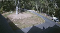
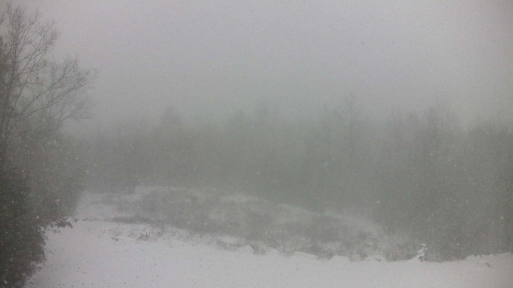
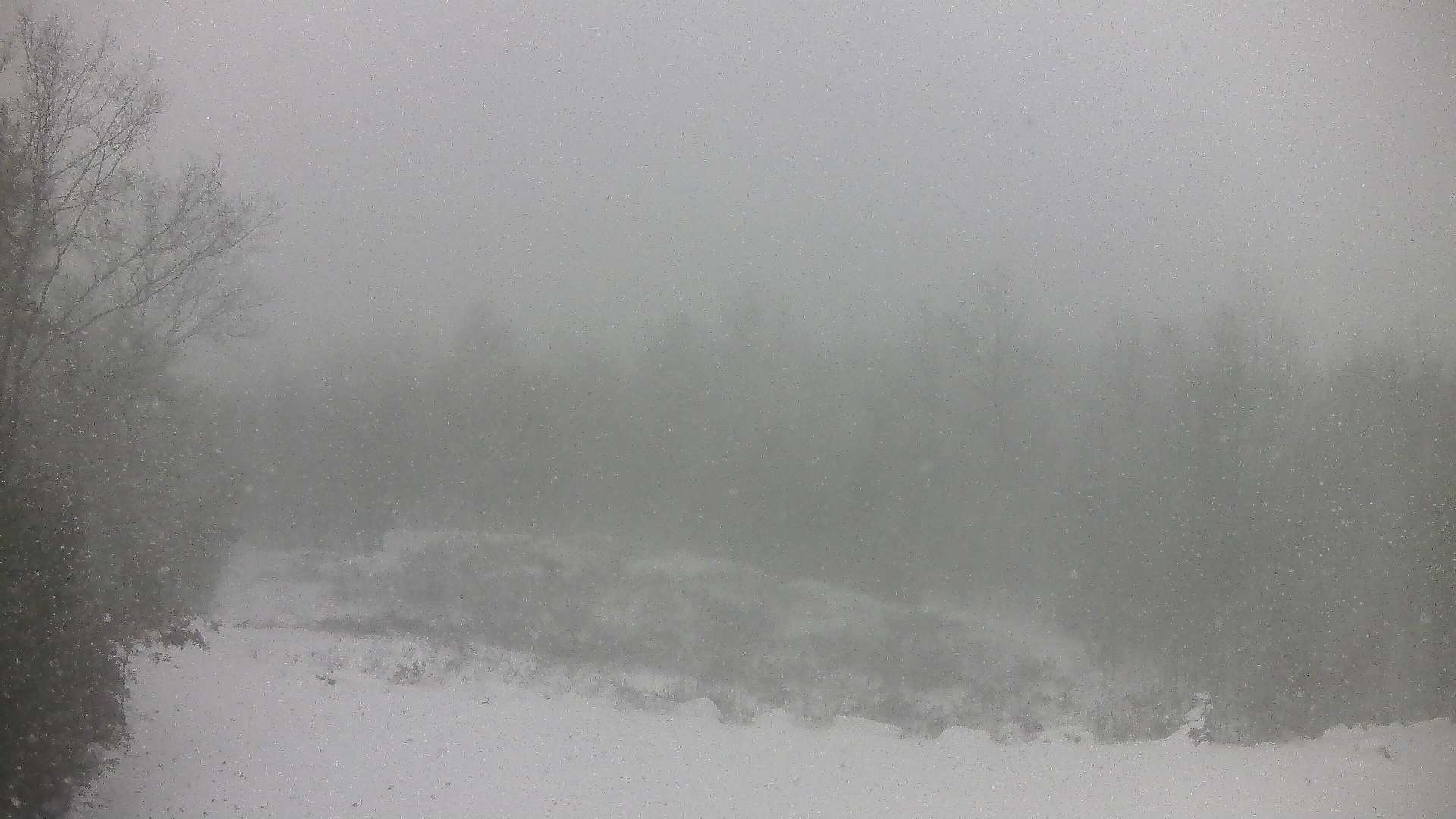
Must be a force field blocking entrance of the squalls on west side of Sebago. They start to advance then dry right up. Threatening clouds over our house, but nothing falling.
-
6". More than I expected. Nice fluff factor on top half.
Sent from my Pixel 2 using Tapatalk -
1 hour ago, mahk_webstah said:
hopefully we can avoid too much rain this weekend and early next week up here, because there is probably 10" in the woods. I'd hate to lose the pack after this stretch.
unfortunately mother nature will even things out
-
21 minutes ago, 40/70 Benchmark said:
Seems from the pace of this thread, no one is really accumulating much this afternoon.
not much looking at my cams. probably won't bother snowblowing
-
21 minutes ago, DavisStraight said:
Just light rain here, got down to 33 and has been stuck there. I actually wanted the snow to melt some, I have two cords of wood that needs to be stacked.
same
-
48 minutes ago, dryslot said:
Its not an all out blizzard so its very disappointing for many on here that had such high hopes.
I don't see 4-6" out of this. 31F.
-
49 minutes ago, MaineJayhawk said:
I can't believe schools are closed for a 4 or 5 inch snowfall. It's getting to where they call it if it's snowing when the buses are out
yep, times have changed. at this rate, they'll use up all their snow days by jan
-
29.1f. looking good
Sent from my Pixel 2 using Tapatalk -
Looks pretty close to my hood. Yes please
Modeling is in pretty remarkable agreement on the placement of mid level forcing for tomorrow. The NAM is maybe a hair N of the rest of the suite, but same general idea. Definitely favoring an interior S NH jackpot.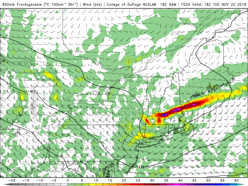
I am interested in this little feature that's beginning to show up on model runs.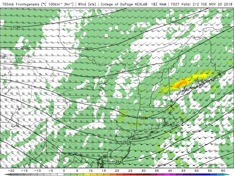
As the 850 mb wave tries to close off, the 700 mb f-gen really begins to increase during the afternoon. Coupling that with the lift generated below it at 850 mb, and maybe signs that we get a heavier band to form late in the day.
FWIW, the extended HRRR is in favor of coastal western ME seeing the higher snowfall totals.
Sent from my Pixel 2 using Tapatalk
-
Thanks Kevin
Rains to Maine.
Sent from my Pixel 2 using Tapatalk
-
Anyone expecting to retain what snow they have from here on out, sans the mountains will be disappointed.
early next week system trending warmer wetter it seems even up here.
Sent from my Pixel 2 using Tapatalk
-
You mean "rains to Maine".
He's playing some defense too on his wording with "all rain to NH border"....he's terrified of a 3-6/4-8" event from ORH to Ray if he gets rain. Ala MLK 2010 style.
Its either significant snows to N CT or all rain to NH border...nothing in between.
Sent from my Pixel 2 using Tapatalk
-
One has to assume this can't last forever. Shorts by Xmas?
EPS geezus
Sent from my Pixel 2 using Tapatalk
-
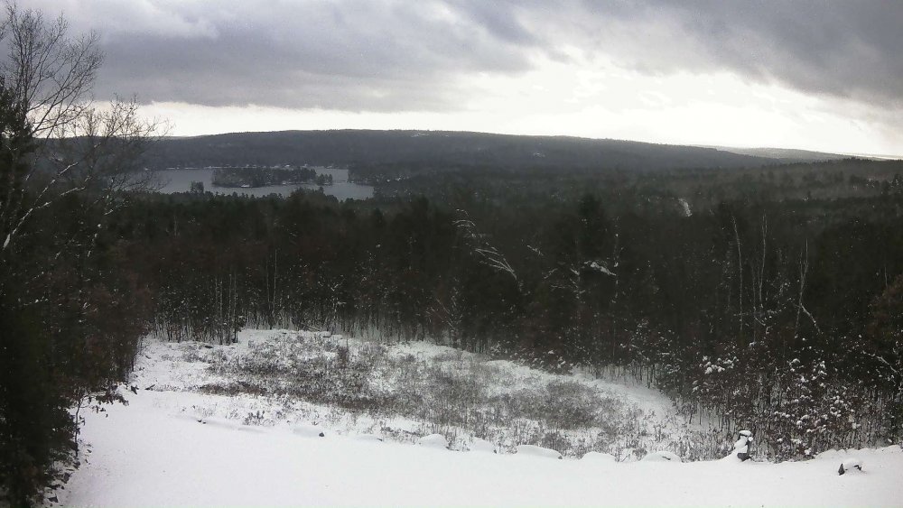
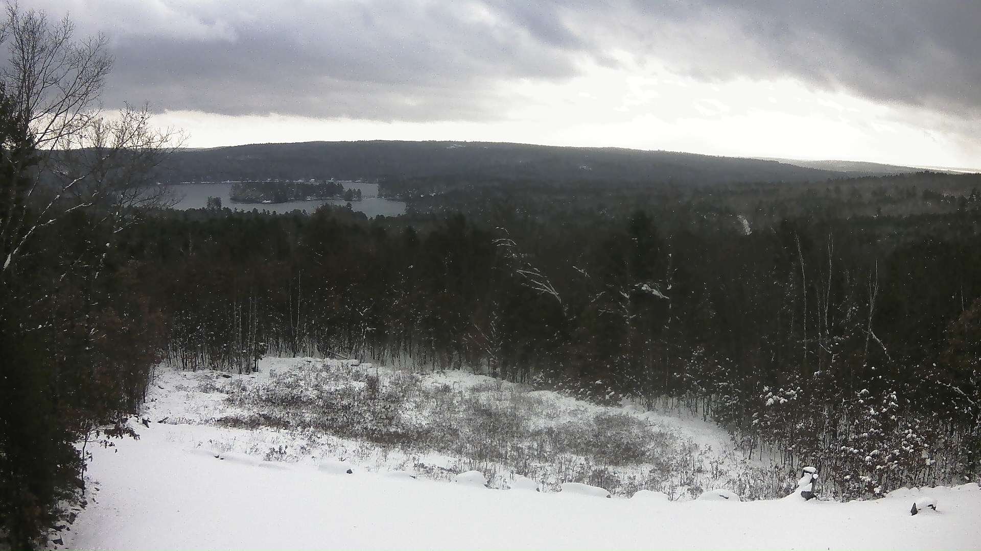
Mt hope got smoked
For the record
Sent from my Pixel 2 using Tapatalk
-
That's awesome and festive. Hope it sticks around.
About 18" in the base area.
Ive got some more pics for later, but it really is blowing my mind what it looks like around the ski resort. Still 6 weeks till Christmas and it looks more like deep winter now that it normally does at Christmas lol.
Sent from my Pixel 2 using Tapatalk
-
6.25" will do it
Sent from my Pixel 2 using Tapatalk -
Total nuke fest at home.
-
1
-
-
16 minutes ago, HoarfrostHubb said:
All 4 of the districts in my household had 2 hour delays. Worked out fine. Sure beats going in June.
They cancelled school up here. Bunch of wuss bags.

November discussion
in New England
Posted
I remember that guy
Sent from my Pixel 2 using Tapatalk