
bncho
-
Posts
3,741 -
Joined
-
Last visited
About bncho

Recent Profile Visitors
12,176 profile views


-
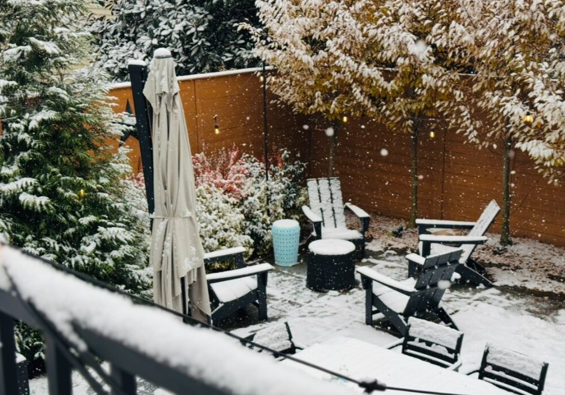
My parents don’t even remember that winter.
-
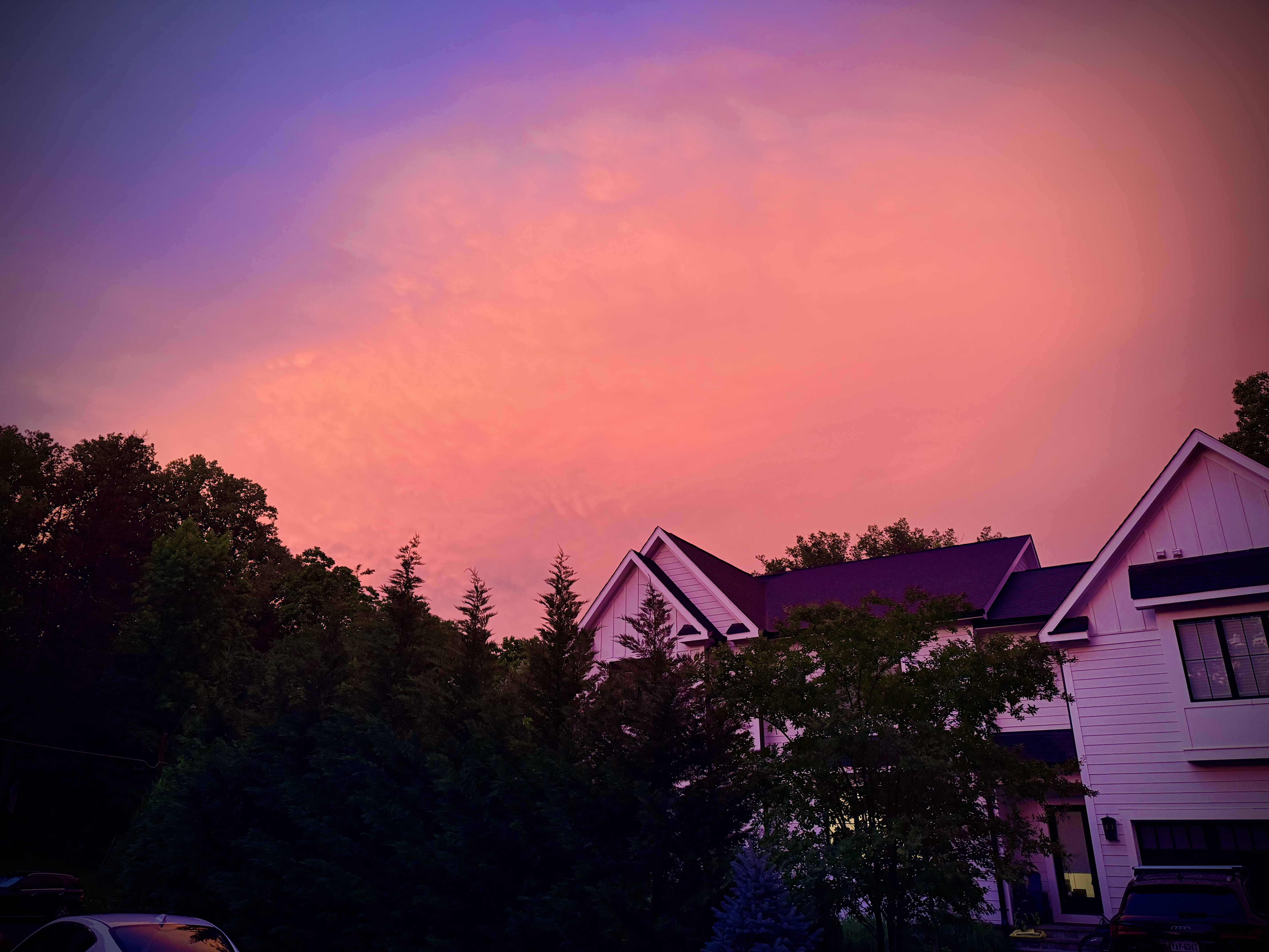
beautiful sunset tonight

-
hot hot hot hot hot
-
2026-2027 Super El Nino
bncho replied to Stormchaserchuck1's topic in Weather Forecasting and Discussion
Please correct me if I’m wrong but didn’t 15-16 have a pretty long period of blocking from mid-January into February? And the very warm December skewed the winter temperature? -
Cool May is a good May. Keep it in the low 70s.
-
Give me the precip and I will roll the dice
-
Happy April Fools.
.thumb.png.1aa6da381afa0001505caa4f2a1987e9.png)
-
It's time to grade Winter 2025-26(now that it's actually over)
bncho replied to CAPE's topic in Mid Atlantic
McLean, VA Winter Rating: B Reasoning: McLean got exceptionally lucky with a local jackzone on multiple occasions this winter, allowing me to nickel and dime to climo. The snow/sleetfall from late-January stayed for a long, long time due to the severe cold in late-Jan to early-Feb, really helping this winter's case. There were lots of late nights just to see potential wasted for the DMV. March 12th's suprise snow saved this from being a B-. -
euro ai, only 8 days out. what could go wrong

-
lol I just woke up from a nap. Feeling kinda under the weather right now. last year I didn’t do any severe weather at all but I made a promise to myself to try and learn about it this year, so you likely see me a lot more active
- 1,093 replies
-
- 3
-

-

-
- severe
- thunderstorms
- (and 1 more)
-
I’m so ready for the 3” of wet snow that will cover the remains of my house after it gets hit by a tornado
- 1,093 replies
-
- 11
-
-

-

-
- severe
- thunderstorms
- (and 1 more)
-
2026-2027 Super El Nino
bncho replied to Stormchaserchuck1's topic in Weather Forecasting and Discussion
@Stormchaserchuck1 do El Nino's normally form east-based and propogate west? Or this is just me on weenie hopium? -
McLEAN WINTER 2025-26 SNOWFALL: 19.9" Average: 19.9" (100%) November: T 11/12: T | Stayed up late hoping for something more substantial, but there were still some light flurries. 11/30: T | Morning snow/sleet mix changed to rain. December: 3.7" 12/5-6: 2.2" | The return of the mythical December 5th snowstorm. It brought extreme cold for early December, with my high of 29. Included a nice little round two starting at 10 PM, not finishing until around 1 AM. R1: 1.9", R2: 0.3" 12/11: T | Scattered flurries in the morning. 12/14: 1.5" | A busted forecast (from 2-4"). 0.25" QPF fell as 1.5"—awful ratios. January: 9.2" 1/1: 0.1" | An early morning snow squall with strong winds. 1/17: 0.1" | A morning burst of snow accumulated to a dusting. 1/18: T | Three hours of afternoon flurries translated to a trace. The mulch was slightly whitened, though. 1/24-25: 9.0" | EDIT (2/22/26): revised from 10.2" down to 9". Reanalysis showed 0.6" QPF falling as snow and 1.8" QPF falling as sleet. This equates to 5.4" of snow at 9:1 ratios and 3.6" of sleet at 2:1 ratios, for a total of 9.0". February: 4.9" 2/6: 0.1" | A few hours of moderate snow gave a nice wintry scene for the area. It was a nice refresher for the snowpack. 2/12: T | Some morning flurries. 2/22-23: 4.8" | Rain to potent snowstorm. Warm temperatures at onset lead to a decrease in accumulations. March: 2.1" 3/2: 0.6" | It was a nice and beautiful March snow. I didn't bother to measure, so I'm splitting the difference between DCA and IAD. 3/12: 1.5" | Some surprise anafrontal snow brought a heavy coating. Credit to @MN Transplant for the measurement. (SUBJECT TO CHANGE - waiting for final measurement from @MN Transplant.)
-
Taking @MN Transplant's latest measurement of 1.5", I am officially right at climo with 19.9". No more, no less. Now if he records 1.6" or more...


.png.33ffb572674f8d2adcc96df2380f9b91.png)